- Brief description
-
The Alfenzweg leads along the banks of the Alfenz to the valley station of the Sonnenkopf cable car and back to Klösterle am Arlberg.
- Difficulty
-
easy
- Rating
-
- Starting point
-
Village centre, Klösterle am Arlberg
- Route
-
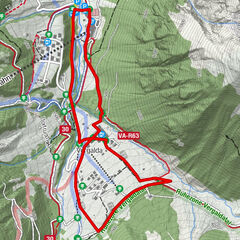
Klösterle (1,073 m)Engel0.1 kmWasserKraft0.2 kmUntersand1.1 kmUntersand5.0 kmWasserKraft6.0 kmEngel6.2 kmKlösterle (1,073 m)6.3 km
- Best season
-
AugSepOctNovDecJanFebMarAprMayJunJul
- Description
-
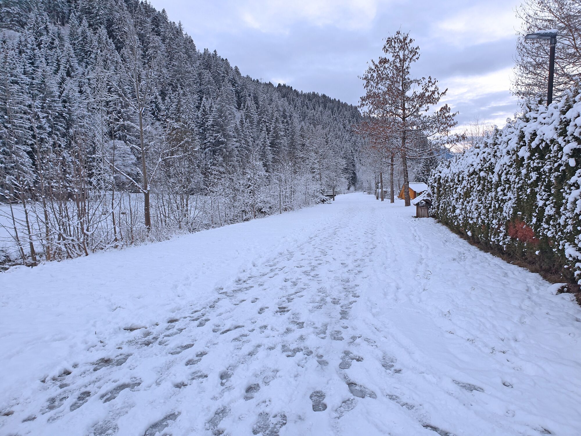
This winter hike starts at the Klostertal Tourismus tourist office in Klösterle am Arlberg. A short distance along the main road down the valley to the Engel restaurant. Turn right there and then right again shortly before the bridge. The prepared winter hiking trail now leads along the Alfenz river out of the valley to the parcel of Danöfen. In Danöfen, the trail leads below the Arlberg motorway S16 and the last stretch along the road to the valley station of the Sonnenkopf cable car. From here, return along the same path or take the bus from the Sonnenkopfbahn valley station back to Klösterle am Arlberg.
- Directions
-
Klösterle am Arlberg tourist office - direction Wirtshaus-Restaurant Engel - Alfenzweg - Danöfen - Arlberg-Schnellstraße subway - Sonnenkopfbahn valley station - return on foot or by bus
- Highest point
- 1,073 m
- Endpoint
-
Village centre, Klösterle am Arlberg
- Height profile
-

- Equipment
-
Sturdy shoes, warm clothing and walking sticks are recommended. Cell phone in case of emergency.
- Safety instructions
-
EMERGENCY CALL
140 Alpine emergencies Austria-wide
144 Alpine emergencies Vorarlberg
112 Euro-emergency call (works with any mobile phone/network)www.alpenregion-vorarlberg.com/sicherheitstipps-winter
Due to weather conditions, the winter hiking trails may not be freshly groomed every day. Changes may occur depending on snow and weather conditions. These are constantly updated and can be found under these links:
- Additional information
-
www.kloesterle.com
- Directions
- Public transportation
- Parking
-
Restaurant Engel or Sonnenkopf cable car
- Author
-
The tour Alfenzweg | Klösterle am Arlberg is used by outdooractive.com provided.