
- Brief description
-
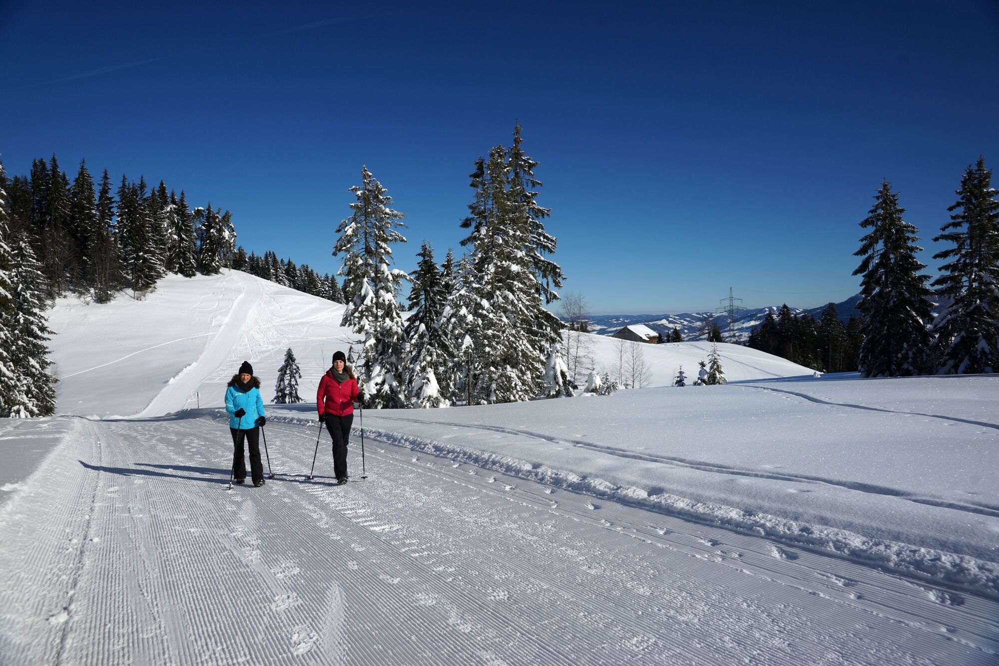
Hike from the Bödele into the valley on wide-tracked winter paths.
- Difficulty
-
easy
- Rating
-
- Starting point
-
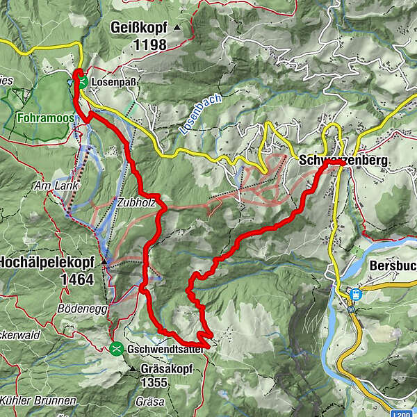
Bödele, bus stop
- Route
-
Berghof FetzHeilige Maria0.2 kmBödele0.6 kmÄlpele3.8 kmLustenauer Hütte4.6 kmVorsäß Klausberg5.5 kmHotel Gasthof Hirschen Schwarzenberg9.2 kmSchwarzenberg (696 m)9.2 kmAdler9.2 kmPfarrkirche Schwarzenberg - Heiligste Dreifaltigkeit9.3 km
- Best season
-
AugSepOctNovDecJanFebMarAprMayJunJul
- Description
-
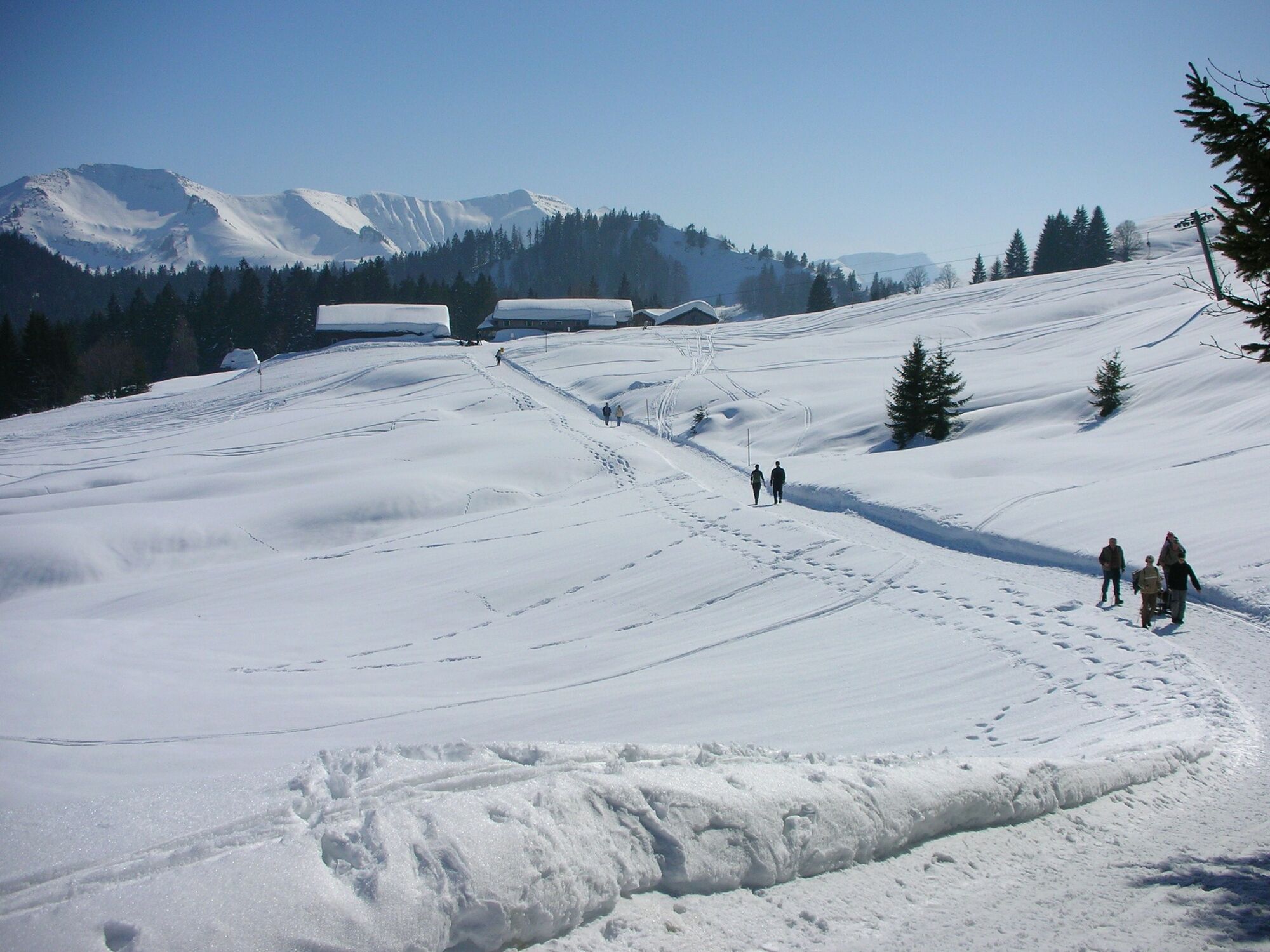
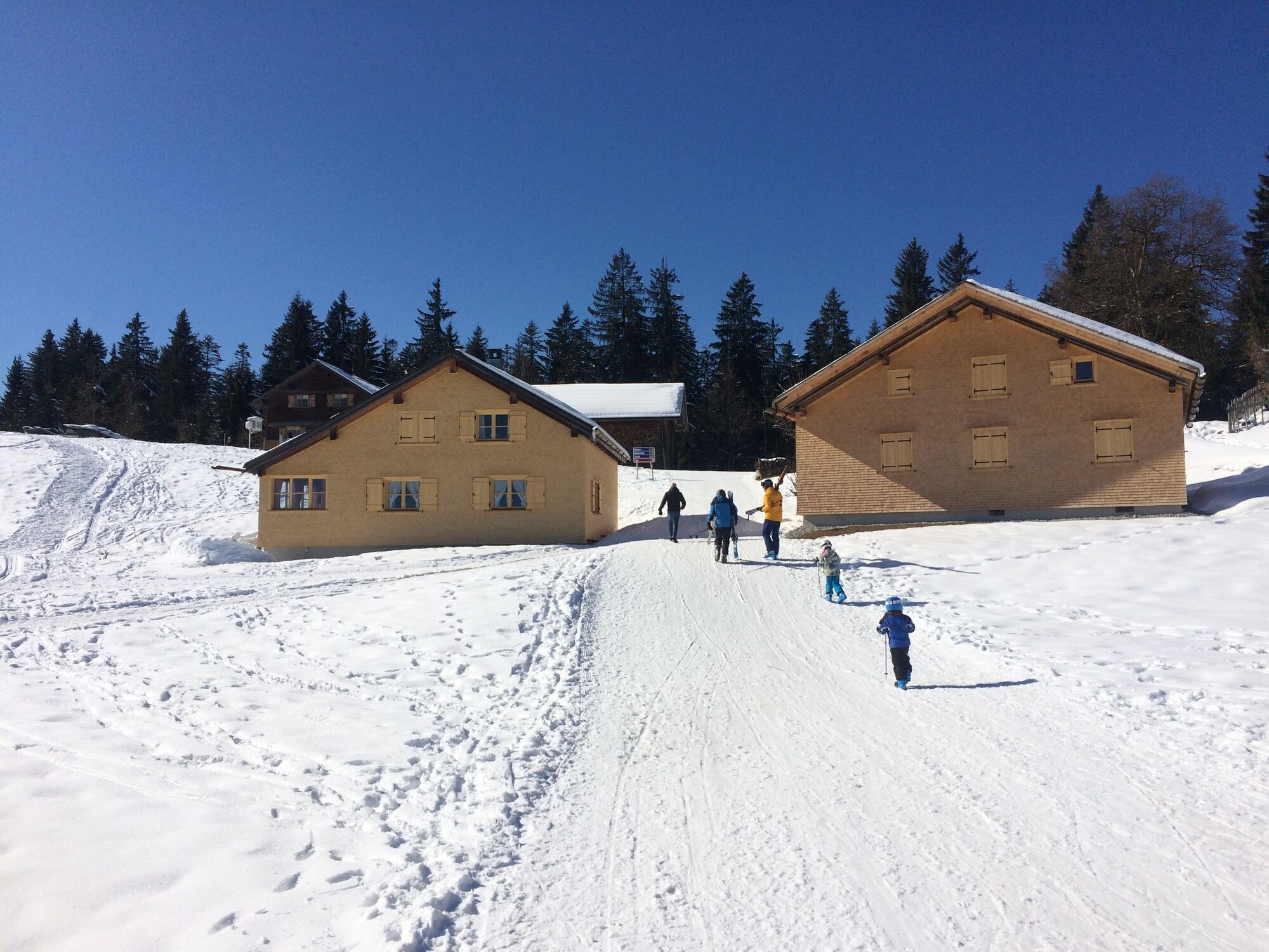
From the bus stop on the Bödele (1,140 m), take a short walk along the road to Schwarzenberg where you pick up the winter hiking path. Cross the pistes of the Hochälpele lift, hike through alpine forests to the Hochälpele alp (1,250 m, extensive views across the Bregenzerwald) and continue to Lustenau hut (1,250 m, chance to take a detour to the Bregenz hut). From Lustenau hut, take a scenic path across the Klausberg mountain pasture down into Schwarzenberg (695 m).
- Directions
-
From the bus stop on the Bödele (1,140 m), take a short walk along the road to Schwarzenberg where you pick up the winter hiking path. Cross the pistes of the Hochälpele lift, hike through alpine forests to the Hochälpele alp (1,250 m, extensive views across the Bregenzerwald) and continue to Lustenau hut (1,250 m, chance to take a detour to the Bregenz hut). From Lustenau hut, take a scenic path across the Klausberg mountain pasture down into Schwarzenberg (695 m).
- Highest point
- 1,281 m
- Endpoint
-
Schwarzenberg village square
- Height profile
-

- Equipment
-
- waterproof footwear
- warm outerwear
- take plenty of drinks with you: it is also important to drink even if you are not thirsty - Safety instructions
- Tips
-
Culture on the route:
It was on the Bödele, close to Losen pass, an ancient crossing into the Rhine Valley, that Otto Hämmerle, an industrialist from Dornbirn, erected a countryside summer resort. After the Arlberg, the Bödele is the second birthplace of Vorarlberg skiing (in 1903/1904 a ski jump was built, and the first ski race was held. In 1907, the first ski lift in the world was built here).
A drink/food:
Bödele hotel Berghof Fetz, Lustenau hut, Bregenz hut, Schwarzenberg - Directions
-
from Germany: motorway Lindau A96 - Pfänder Tunnel - motorway exit Dornbirn Nord (toll sticker required) - Bregenzerwald - Egg - Schwarzenberg;
OR motorway Kempten - Immenstadt - Oberstaufen - Ach - Riefensberg - Krumbach - Lingenau - Egg - Schwarzenberg
from Switzerland: motorway St. Gallen - St. Margrethen/Au - Lustenau - Dornbirn - Bregenzerwald - Egg - Schwarzenberg - Public transportation
- Parking
-
Parking Bödele
or in Schwarzenberg behind the alpine dairy and by bus up to the Bödele
- Author
-
The tour Schwarzenberg | Panorama hike Bödele - Schwarzenberg is used by outdooractive.com provided.