
- Brief description
-
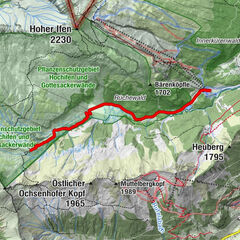
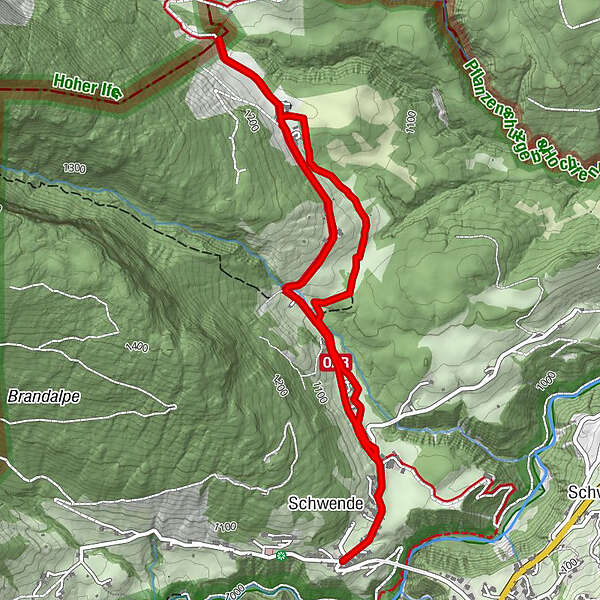
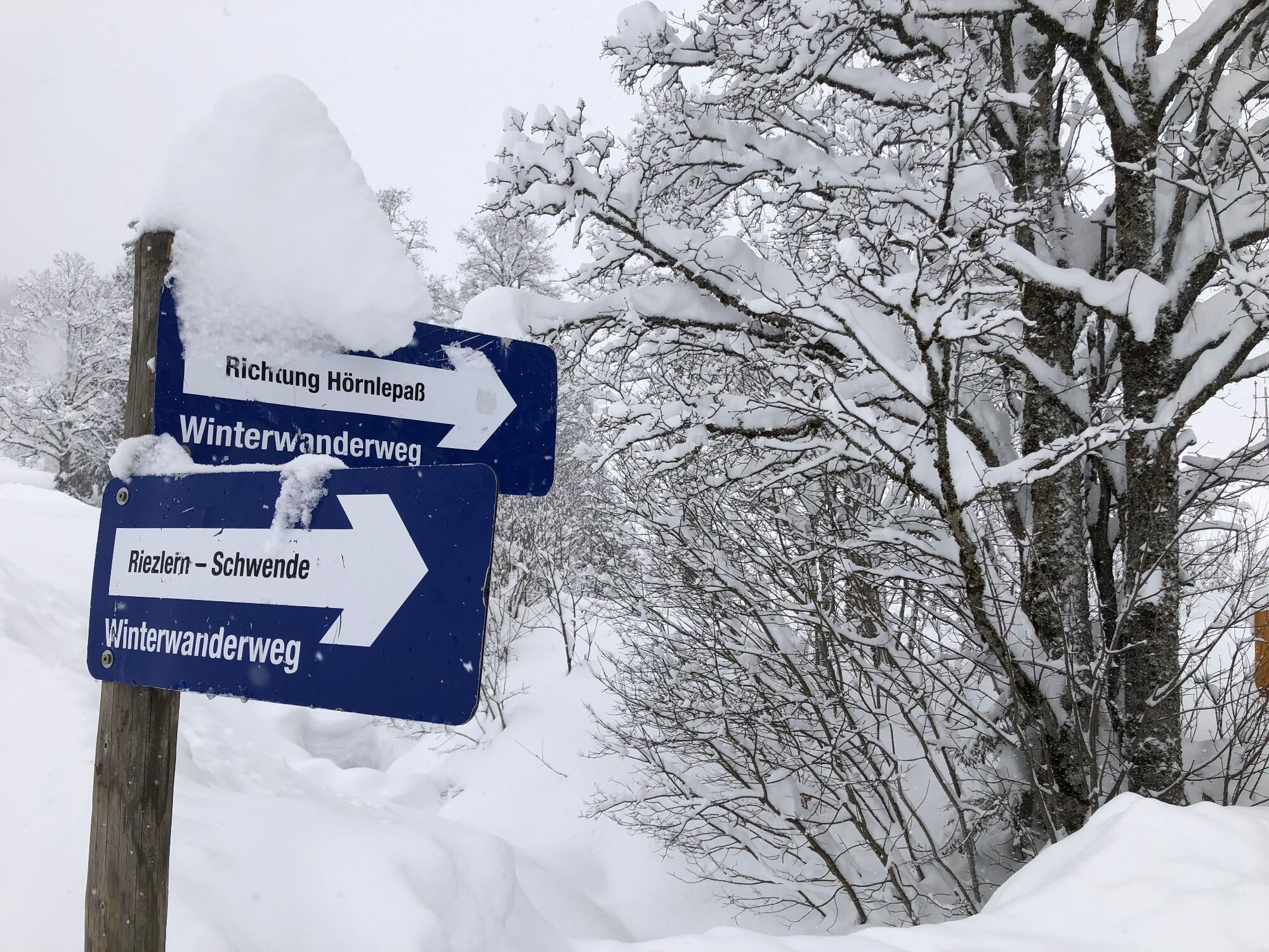
Riezlern Schwende (1070m) – Border at Hörnle pass
- Difficulty
-
easy
- Rating
-
- Starting point
-
Riezlern
- Route
-
Schwende0.1 kmGasthof Sonnenburg0.1 kmGasthof Sonnenburg5.3 kmSchwende5.4 km
- Best season
-
AugSepOctNovDecJanFebMarAprMayJunJul
- Description
-
Throughout centuries, the trail over the just 1283m high Hörnle pass used to be the main route from the Kleinwalsertal to Bregenz. As it was in desolate condition between Sibratsgfäll and Hittisau for most of the time, people preferred to take a detour. Today’s winter hiking trail to “Hörele”, as the local Walser have nicknamed the pass, is an easy and much-frequented leisurely walk.
- Directions
-
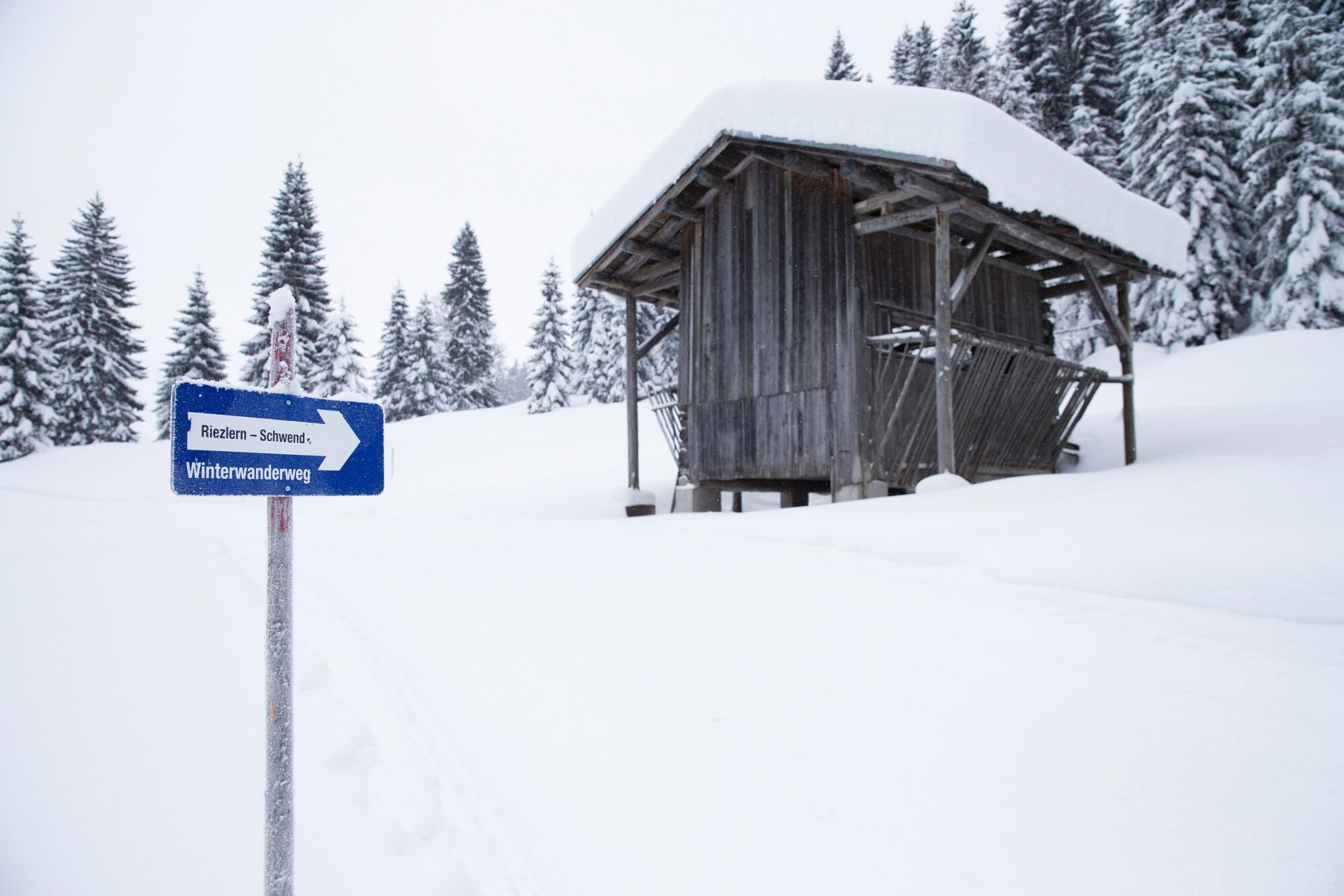
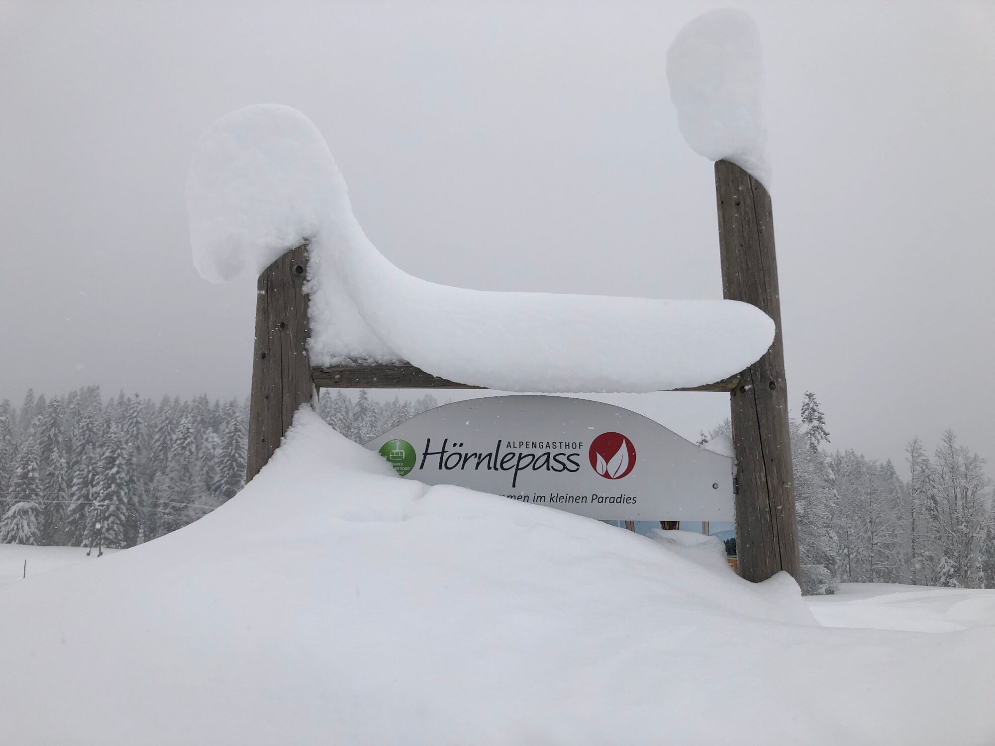
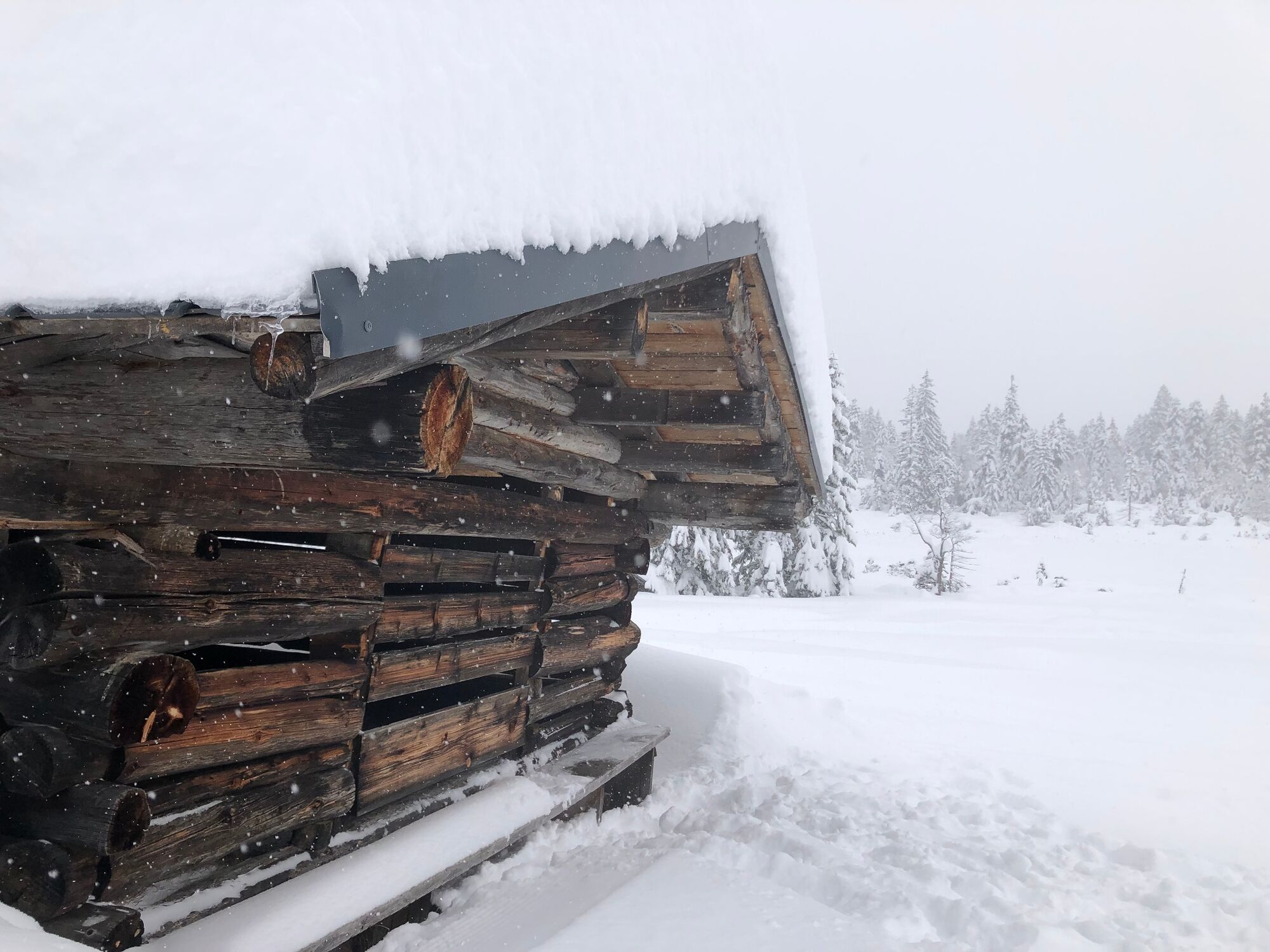
To reach the start in the hamlet of Schwende, take the link road from Riezlern-Westegg. The compacted winter trail starts where the cross-country trail begins. Off the local mountain road, the trail winds its way across sunny hillsides and groves. In the vicinity of Klausenwald it passes a moor landscape that exudes its charms also in winter. Having mounted for 45 minutes, some hikers content themselves with a stop and a rest at Alpengasthof Hörnlepass. Before heading for the inn, why not continue along the cross-country trail to the scenically enchanting high-lying hollow at Ausserwald and to the Vorarlberg border at Hörnle pass. The groomed winter hiking trail ends at a sun-dazzled slope near an old stable with beautiful views. You will be rewarded for the extra effort by serene vistas of the Oberstdorf peaks of the Allgäu Alps, while pausing on a bench on the sun-exposed face of Stallwand.
On your way back, you will see the eastern side of the outer Kleinwalsertal and the White Crest between Söllereck and Fellhorn right to the Kanzelwand face. Above the treeline, you will be able to discern the snow-covered slope terraces of Amannsalpe and Mittelalpe, where the central bridle path led down to the valley right until the 18th century. - Highest point
- 1,163 m
- Endpoint
-
Riezlern
- Height profile
-

- Equipment
-
Sturdy shoes and hiking poles for steep sections recommended.
- Safety instructions
- Tips
-
Be sure to take your mobile phone or camera with you!
- Additional information
-
How do you consciously experience nature?
Nature is so much more than the backdrop for unforgettable mountain experiences. It is a habitat for animals and plants. It provides drinking water and supplies us with high quality food. Not only does it provide valuable raw materials such as wood, it also protects against avalanches and mudslides and regulates the climate. It is up to us to support nature in everything that it does for us. One thing is certain, together we can achieve more:
Smart in NATURE
CONSCIOUS together
EXPERIENCE foresight
Smart in NATURE
Take a deep breath and recharge your batteries, be outside and feel free. When we enjoy nature, we are guests in the living room of shy animals and rare plants. If you behave smart, they will be happy to share their living space with you in the future too.
Stay on paths and marked routes
If you follow the marked paths and routes, you are sure to come to new favorite places. In this way you also respect protected areas, because many animals and plants need special protection. Especially in winter, any disturbance unnecessarily costs the wild animals the strength they need to survive.
Avoiding twilight times
Standing on a mountain at sunrise is a special experience. The morning and evening hours are also the time when most wild animals are in search of food. If they are disturbed, they get stressed. If it cannot be avoided, please stay on the marked path, do not use a bright headlamp and enjoy the silence.
Stay clean & take rubbish with you
It goes without saying: You take rubbish with you again, on the mountain and in the valley. Please also organic waste, because it is composted much more slowly at altitude. You can dispose of the rubbish properly at home or in your accommodation - please remember that there are no rubbish bins in public spaces in Kleinwalsertal.
On the natural toilet
If you are looking for a quiet place, please be at least 50 m away from water. Bury excrement or cover it with a large stone. Use fallen leaves or recycled toilet paper and put the paper back in the trash bag.
On tour with a dog
Are you always in control of your four-legged partner, even if he gets his nose for marmots, deer or other wild animals? You are both on the safe side on a leash. Keep dogs on a short leash near grazing cattle. If an attack by a grazing animal is foreseeable: leash off immediately. There are numerous dog stations in the valley for the disposal of dog bags. The farmers and alpine farmers thank you because manure in meadows and fields contaminates the feed and makes grazing cattle sick.
CONSCIOUS to each other
Consideration for other athletes and those looking for relaxation
Everyone loves to enjoy a special piece of earth for themselves. But most of the time we are not traveling alone. No problem, because there is enough space. Allow time, open the way in an accommodating manner, provide support when someone needs help and always give a smile. So nothing stands in the way of friendly cooperation and relaxed enjoyment of nature.
Appreciating the preservation of the cultural landscape
Alpine landscapes are touching with their contrast: Imposing peaks and natural forests alternate with gentle valleys, well-tended meadows and pastures. In the Kleinwalsertal too, this delightful landscape at three altitudes is no coincidence, but the result of an interplay of natural and cultural landscapes. Behind this is the work of farmers, alpine and forestry as well as hunters. With their work, they ensure that the attractiveness of the recreation and leisure area and the diversity of species are preserved. We already say thank you if we stay on the marked trails and enjoy regional products.
EXPERIENCE farsighted
Safe on tour - for you and others
Whether on a ski or snowshoe tour in winter or on a mountain tour in summer, anyone who is out and about in alpine terrain has to be well prepared. This includes careful information and tour planning as well as the right equipment. Correctly assessing alpine dangers requires a lot of knowledge and experience. Why not learn from professionals and go on tour with one of the experienced guides?
- Directions
-
Most routes from Germany lead to Ulm before carrying on along the A7. Take the Allgäu junction over a section of the A980 to the Waltenhofen junction, then take the 4- lane B19 via Sonthofen and Oberstdorf to Kleinwalsertal. From Austria (Vorarlberg) and Switzerland you reach the Kleinwalsertal via the Bregenzerwald (Hittisau) – Riedbergpass – Fischen – Oberstdorf. From Tyrol the fastest route is over the A7 to Kempten carrying on along the B19 direction Oberstdorf. A motorway vignette is not required to reach the valley.
- Public transportation
- Parking
-
Paid parking spaces are located near the starting point. Parking along the main road is not permitted.
- Author
-
The tour Lookout from Hörnle Pass is used by outdooractive.com provided.