


- Brief description
-
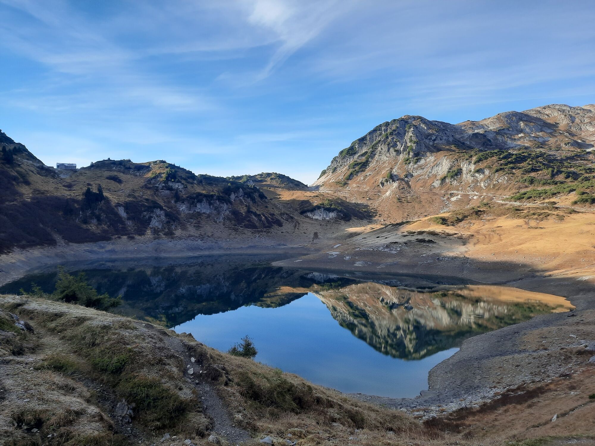
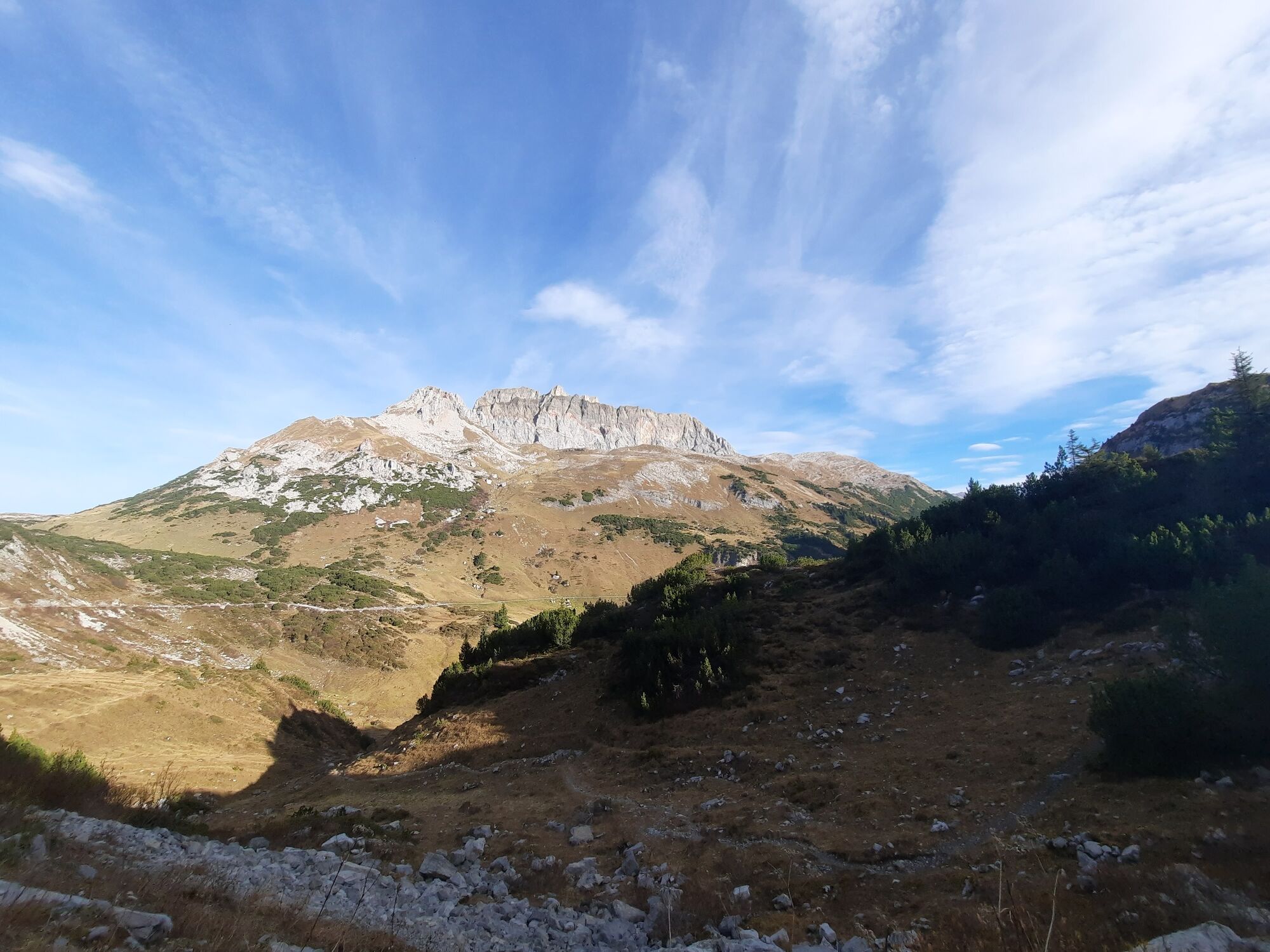
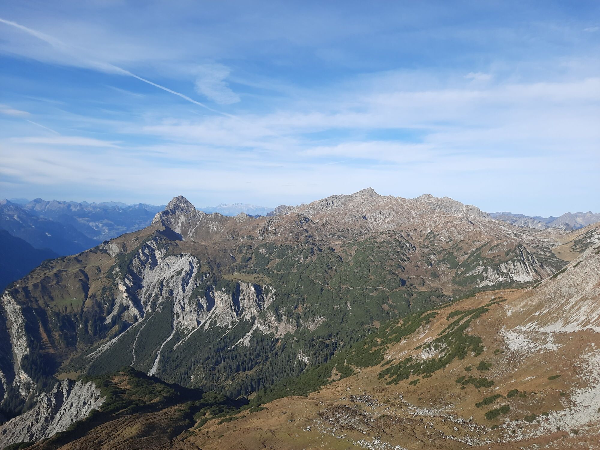
Mountain tour with fabulous panoramic views of the Lechquellen mountains with Fensterlewand and Roter Wand, the Verwall and far into the Silvretta.
- Difficulty
-
difficult
- Rating
-
- Starting point
-
Bus stop Alpe Formarin, Dalaas
- Route
-
Freiburger Hütte1.2 kmSaladinaspitze (2,230 m)3.6 kmFreiburger Hütte5.9 km
- Best season
-
JanFebMarAprMayJunJulAugSepOctNovDec
- Description
-
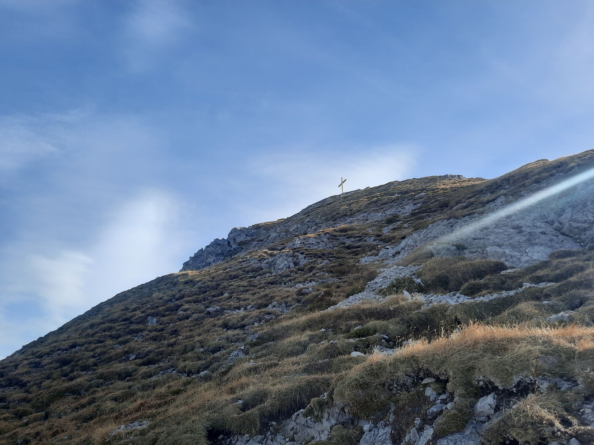
From the bus stop the footpath leads over the "Felsensteig" to the Freiburger Hütte. From the Freiburger Hütte the path leads eastwards to the junction "Saladinaspitze". From here, the trail leads south through a green high valley to a small yoke with two large cairns. After a short descent, a large boulder field must be crossed, then the path leads again on grass with some height loss to the NW flank of the Saladinaspitze, through this to the SW ridge and on this to the summit. Return on the ascent path back to the mentioned nameless yoke. From there the same path leads back to the Freiburger Hütte or to the bus stop "Formarin".
- Directions
-
"Formarin" bus stop - Felsensteig - Freiburger Hütte - Saladinaspitze junction - ascent via meadow path - large boulder field - short descent - counter ascent to Saladinaspitze - summit - same route back
- Highest point
- 2,211 m
- Endpoint
-
Bus stop Alpe Formarin, Dalaas
- Height profile
-

- Equipment
-
Sturdy shoes, warm clothing, rain and sun protection, filled water bottle and snack as well as hiking poles are recommended. Mobile phone in case of emergency.
- Safety instructions
- Tips
-
Fabulous panoramic view of the Lechquelle mountains, the Verwall, the Rätikon and into the Silvretta!
- Directions
- Public transportation
- Parking
-
Cheap parking at the underground car park Anger, change to hiking bus "Formarinsee" at the post office Lech.


- Author
-
The tour Saladinaspitze, 2.238 m | Dalaas is used by outdooractive.com provided.


General info
-
Klostertal
1789
-
Dalaas / Wald am Arlberg
466


