


- Brief description
-
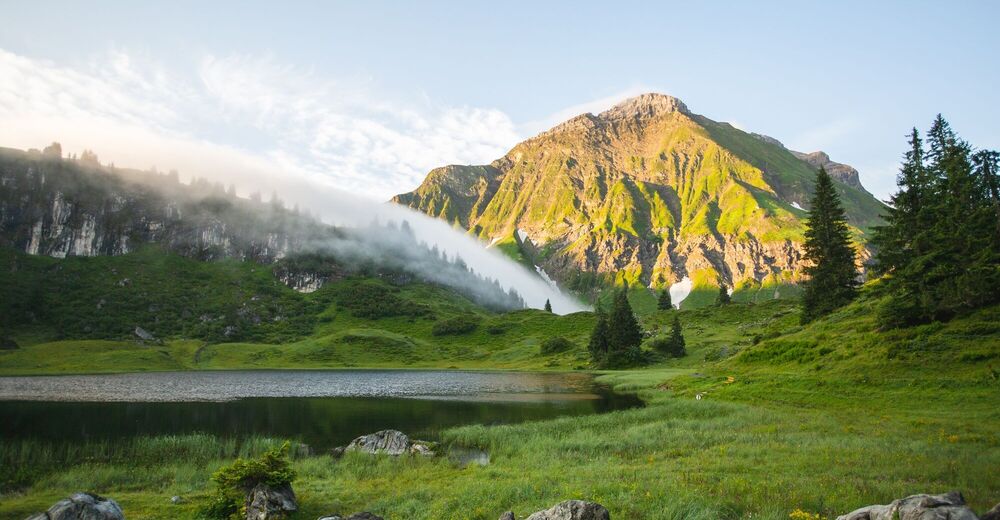
Through the Auenfeld to the natural gem at the Tannberg.
- Difficulty
-
medium
- Rating
-
- Starting point
-
Mountain station Steffisalp Express
- Route
-
Gspa1.1 kmBürstegg2.7 kmJausenstation Bürstegg2.8 kmKarbühel (1,840 m)3.9 kmKarbühel4.6 kmUntere Auenfeldalpe5.6 kmSalober-Sattel (1,792 m)9.7 kmSonnencruiser10.9 kmSalober-Jet11.3 kmHochalpbahn11.3 kmSaloberkopf11.4 kmHochalphütte12.2 kmAlpe Luchere14.3 km
- Best season
-
JanFebMarAprMayJunJulAugSepOctNovDec
- Description
-
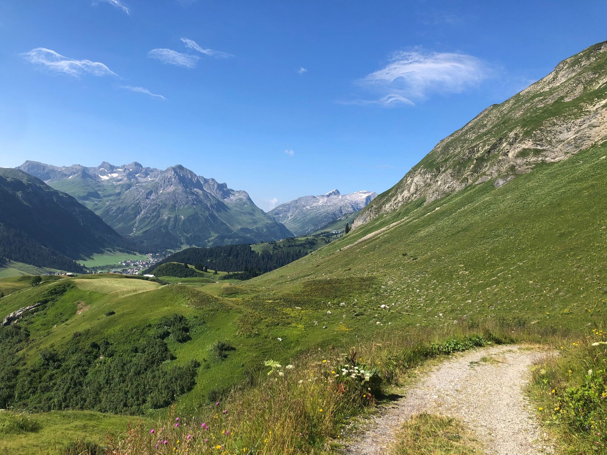
The day of hiking starts in Wolfegg, Warth. That’s followed by a hike to the ‘Steffisalp Express’ valley station. The four-seater chairlift will take you from there to the Steffisalp mountain station at an altitude of 1,884 metres. A height at which impressive alpine flora and fauna awaits.
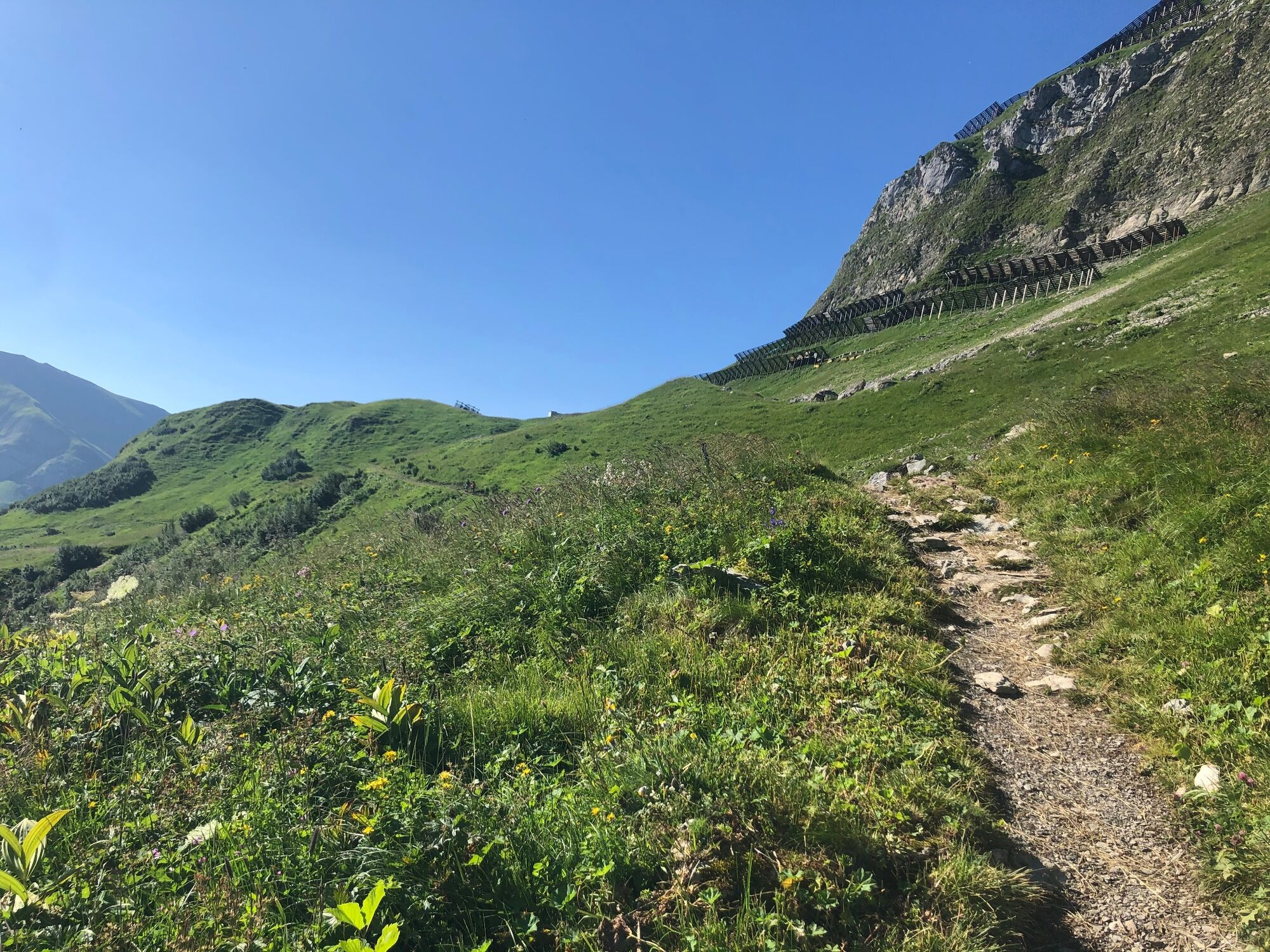
Follow the signs for ‘Bürstegg, Lech’ from the mountain station. The hiking trail first leads uphill and then over a ridge downhill to the Walser settlement of Bürstegg. Then it’s over the Karbühel to the Auenfeldsattel. The route continues from there to the picturesque Auenfeld; then you have to follow the signs towards Körbersee. Then turn right to leave the main road. There’s a short uphill hike along a narrow footpath to the idyllically situated Körbersee.
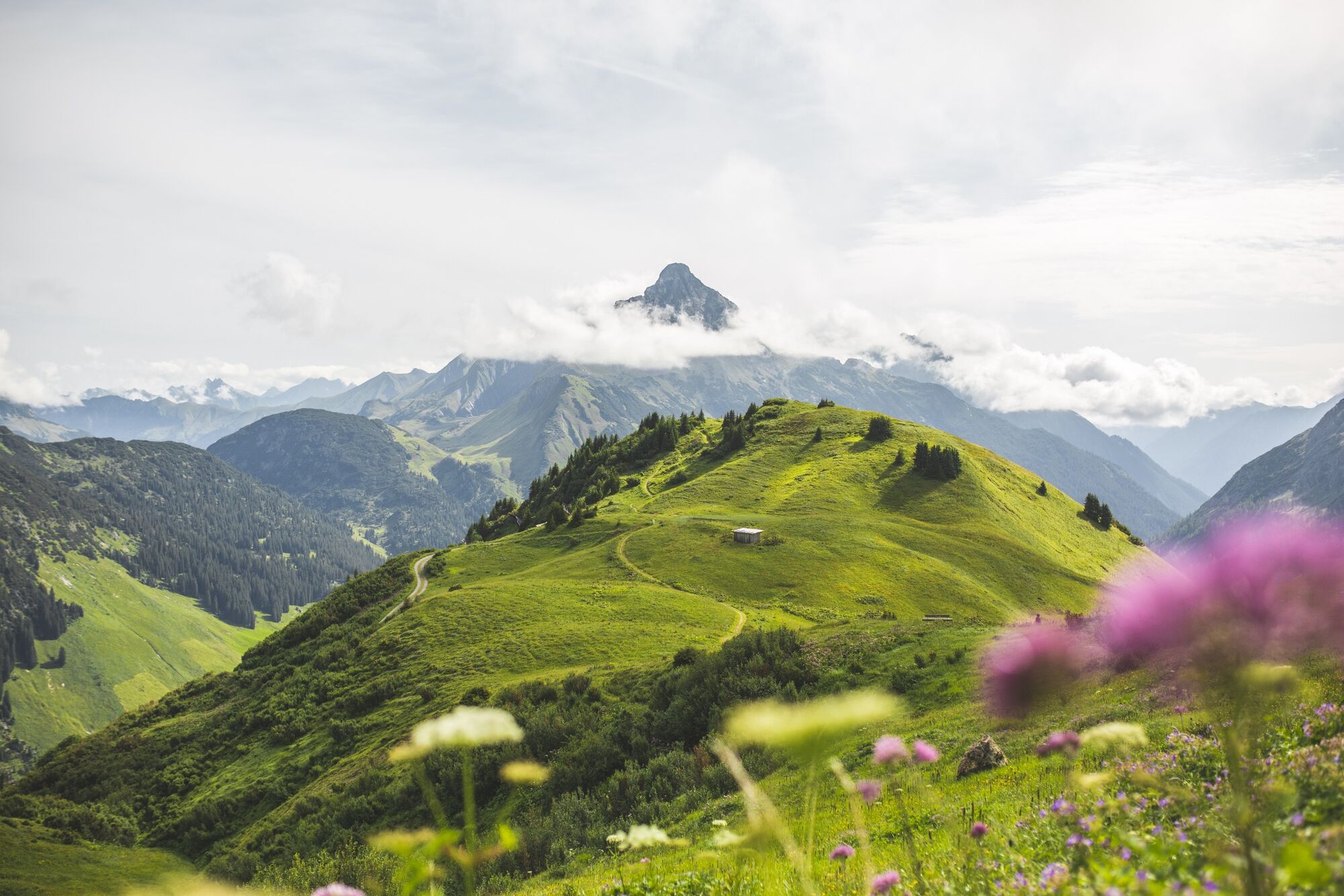
A wide trail leads from Berghotel Körbersee across the Salobersattel up to the Saloberkopf, the hike's highest point (2,043 m). Now it’s downhill to the Hochalp Hütte. Beautifully situated at 2,000 metres above sea level, with magnificent views of the mountains, it’s the place to enjoy a delicious dessert after which its downhill towards Warth past the Steffisalpe back to the starting point.
- Highest point
- 2,034 m
- Endpoint
-
Valley station Steffisalp Express
- Height profile
-

- Equipment
-
Mountain-suitable hiking boots with non-slip soles, hiking poles, water bottle, sun and rain protectio
- Safety instructions


-

-
AuthorThe tour Warth-Schröcken | Wanderung around the Karhorn is used by outdooractive.com provided.