
© Bregenzerwald Tourismus - Johannes Fink

© Bregenzerwald Tourismus - Johannes Fink

© Bregenzerwald Tourismus - Johannes Fink

© Bregenzerwald Tourismus - Conny Kriegner

- Brief description
-
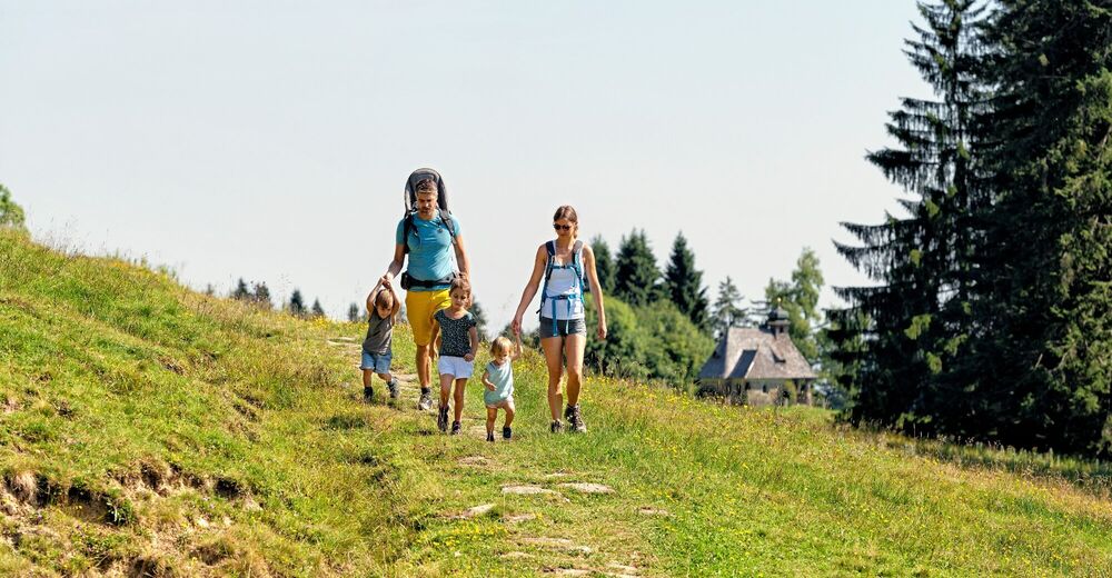
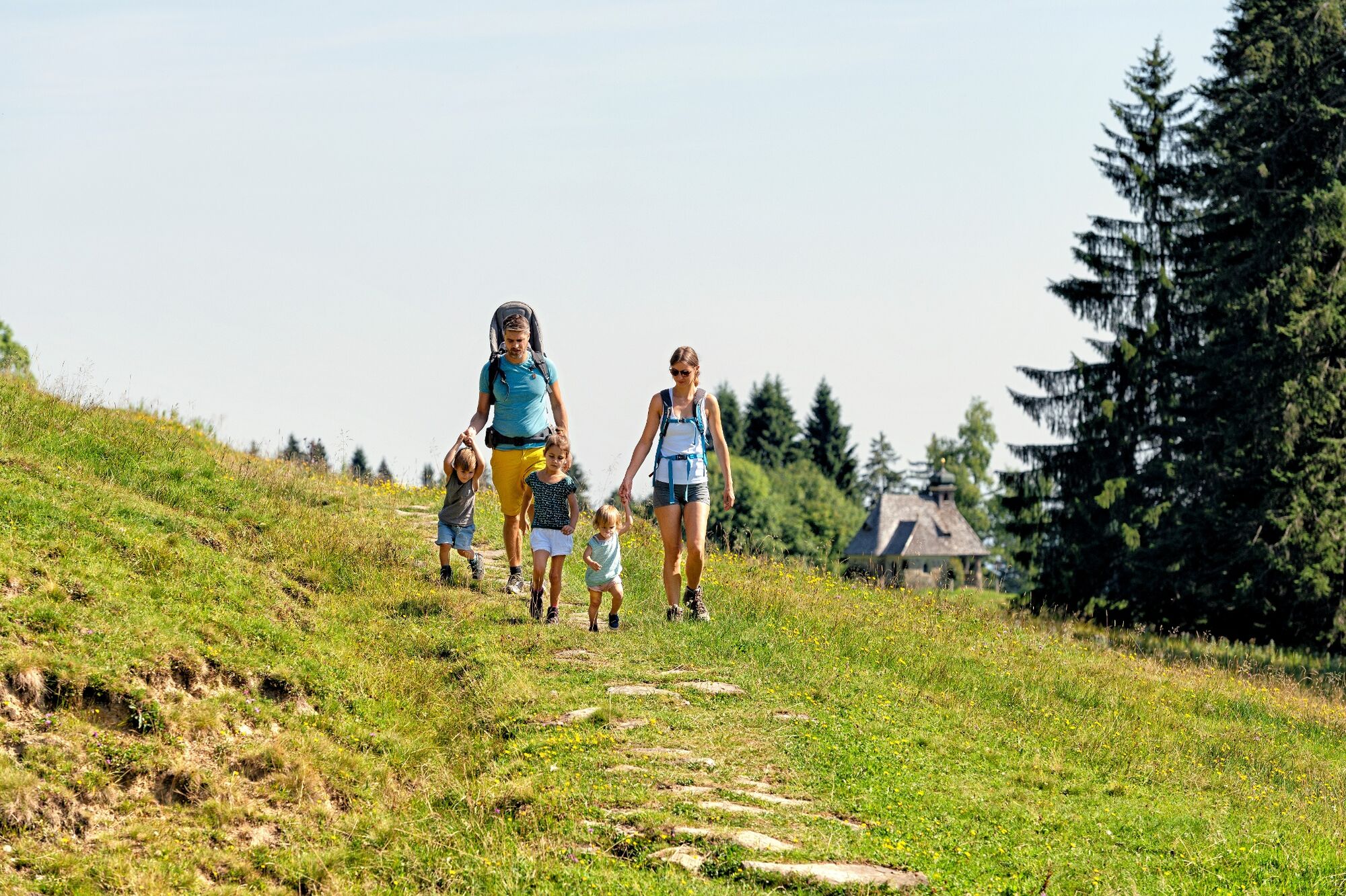
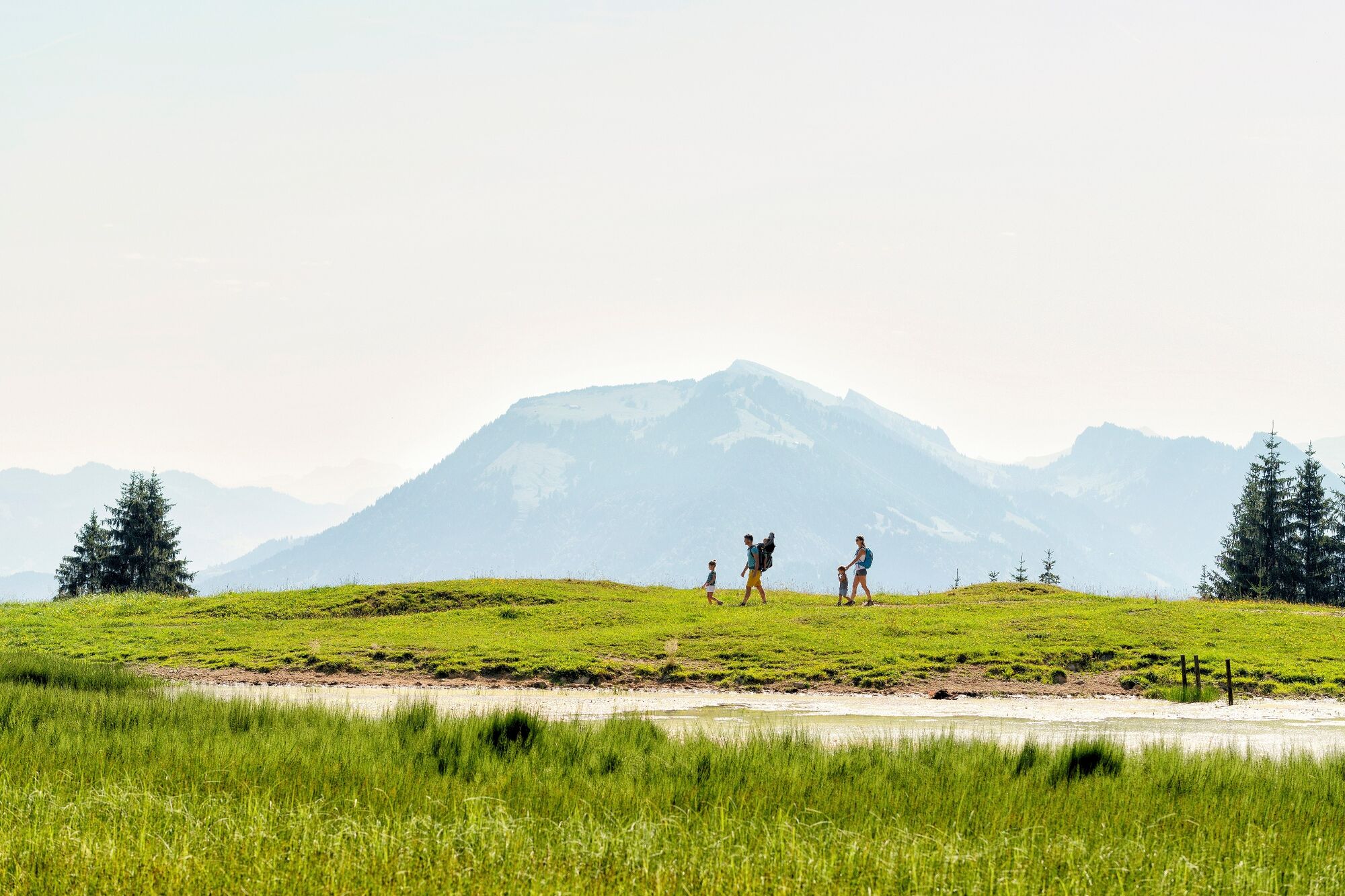
An easy hike from the Bödele to the Hochälpele with great views to Lake Constance.
- Difficulty
-
medium
- Rating
-
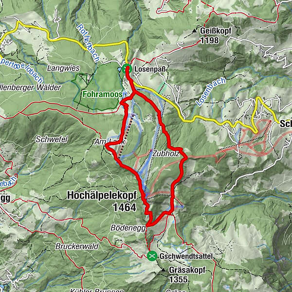
- Starting point
-
Car-Park Bödele
- Route
-
Berghof FetzBödele0.3 kmMeierei Bödele0.8 kmLankhütte1.3 kmAm Lank2.0 kmHochälpelekopf (1,464 m)3.0 kmHochälpelehütte3.1 kmÄlpele4.3 kmBödele7.2 km
- Best season
-
JanFebMarAprMayJunJulAugSepOctNovDec
- Description
-
You take a wide agricultural path to the Oberlosealpe. From here, a steep ascent takes you to Lank, where you are rewarded with a magnificent view of Lake Constance. Along the mountain ridge, you ultimately reach the Hochälpele summit, which affords you a fantastic view of the Bregenzerwald. You return to the Bödele via the Hochälpelealpe, which enjoys a lovely location.
- Highest point
- 1,455 m
- Endpoint
-
Car-Park Bödele
- Height profile
-

- Equipment
-
Sturdy, well-soled shoes Raincoat Food and drink Sun screen and sun glasses Current local weather information - Safety instructions
- Author
-
The tour Schwarzenberg | Bödele - Hochälpele is used by outdooractive.com provided.
All ratings
Juergen Boden
14. Apr. 2024
Perfect hike with great views of Lake Constance, then the Rhine valley comes into view, then the mountains of the Allgaeu Alps. Smooth decent through the forest back to the parking lot.
GPS Downloads


General info
Refreshment stop
A lot of view
Other tours in the regions
-
St. Gallen - Bodensee
2065
-
Bodensee - Vorarlberg
1315
-
Schwarzenberg
608


