
© Bodensee-Vorarlberg Tourismus GmbH - Stiplovsek Dietmar
© copyright Fotograf Dietmar Walser
© Tourismus & Stadtmarketing Hohenems GmbH - Klaus Gasser

© Bodensee-Vorarlberg Tourismus GmbH - copyright Fotograf Dietmar Walser

© Tourismus & Stadtmarketing Hohenems GmbH - Klaus Gasser
© Bodensee-Vorarlberg Tourismus GmbH - copyright Fotograf Dietmar Walser


- Brief description
-
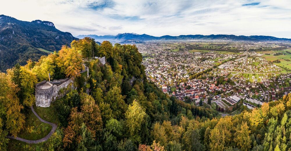
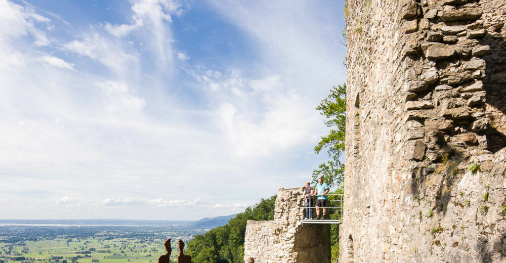
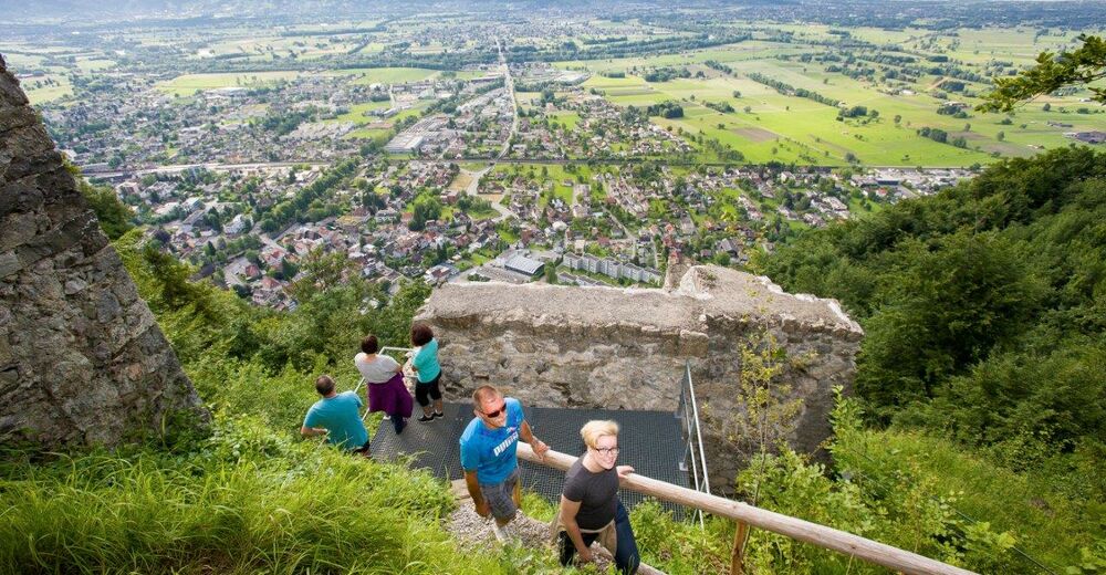
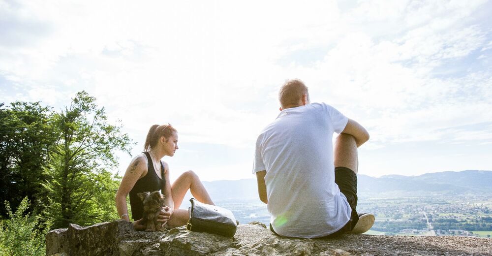
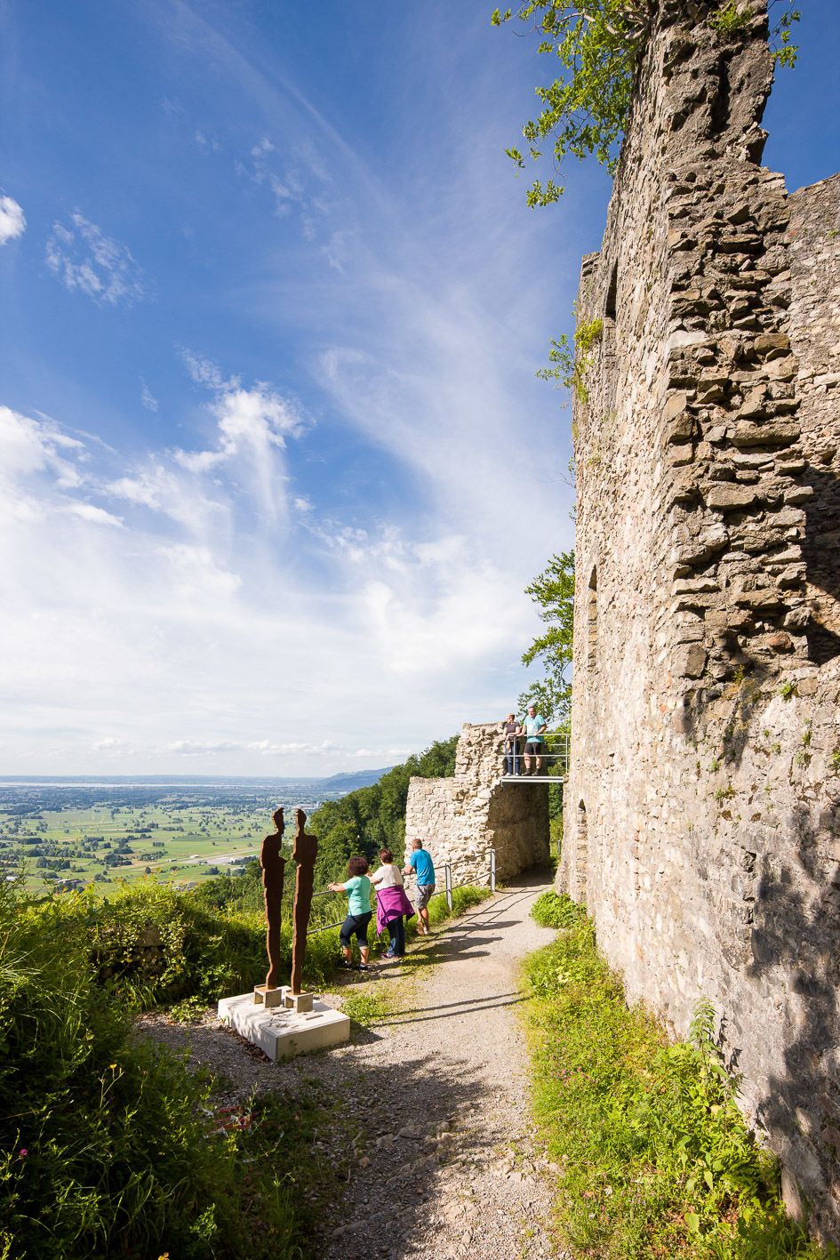
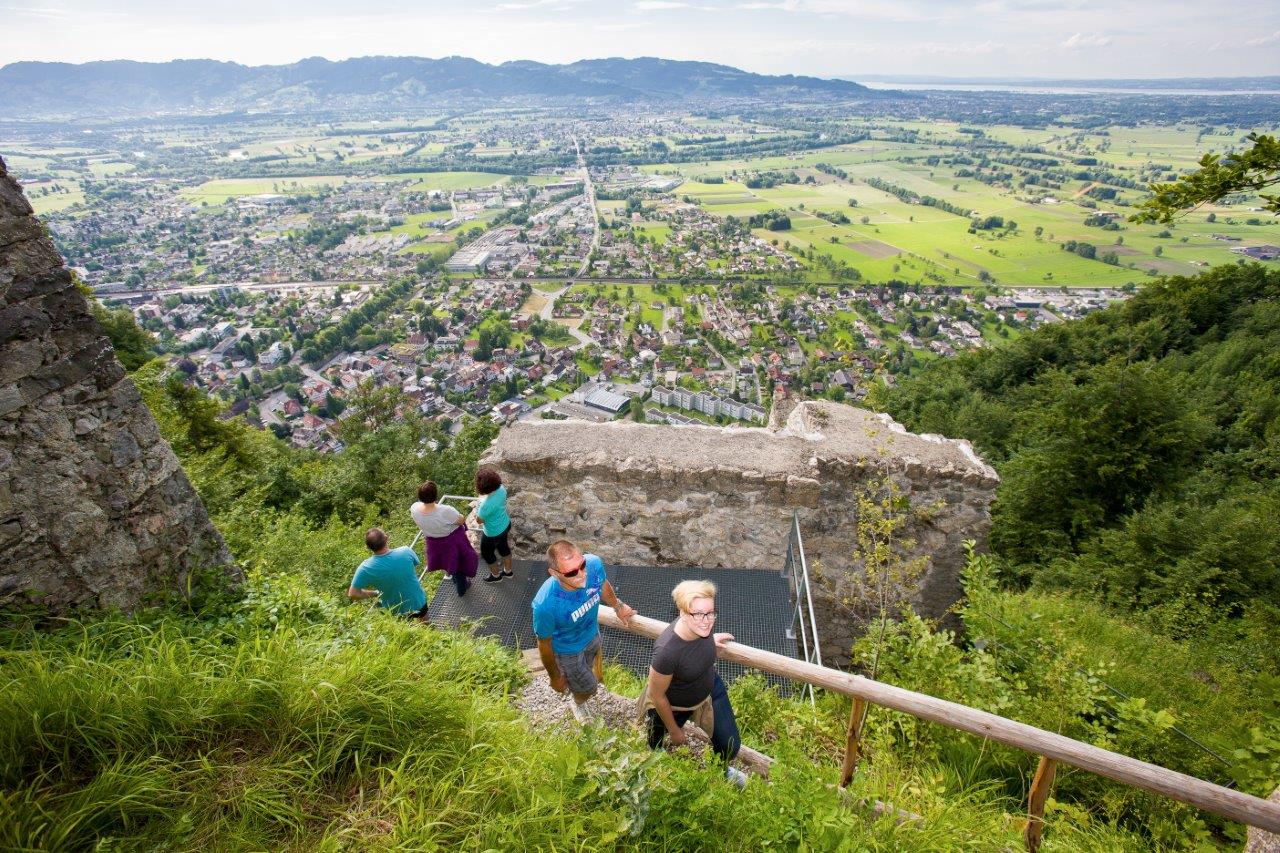
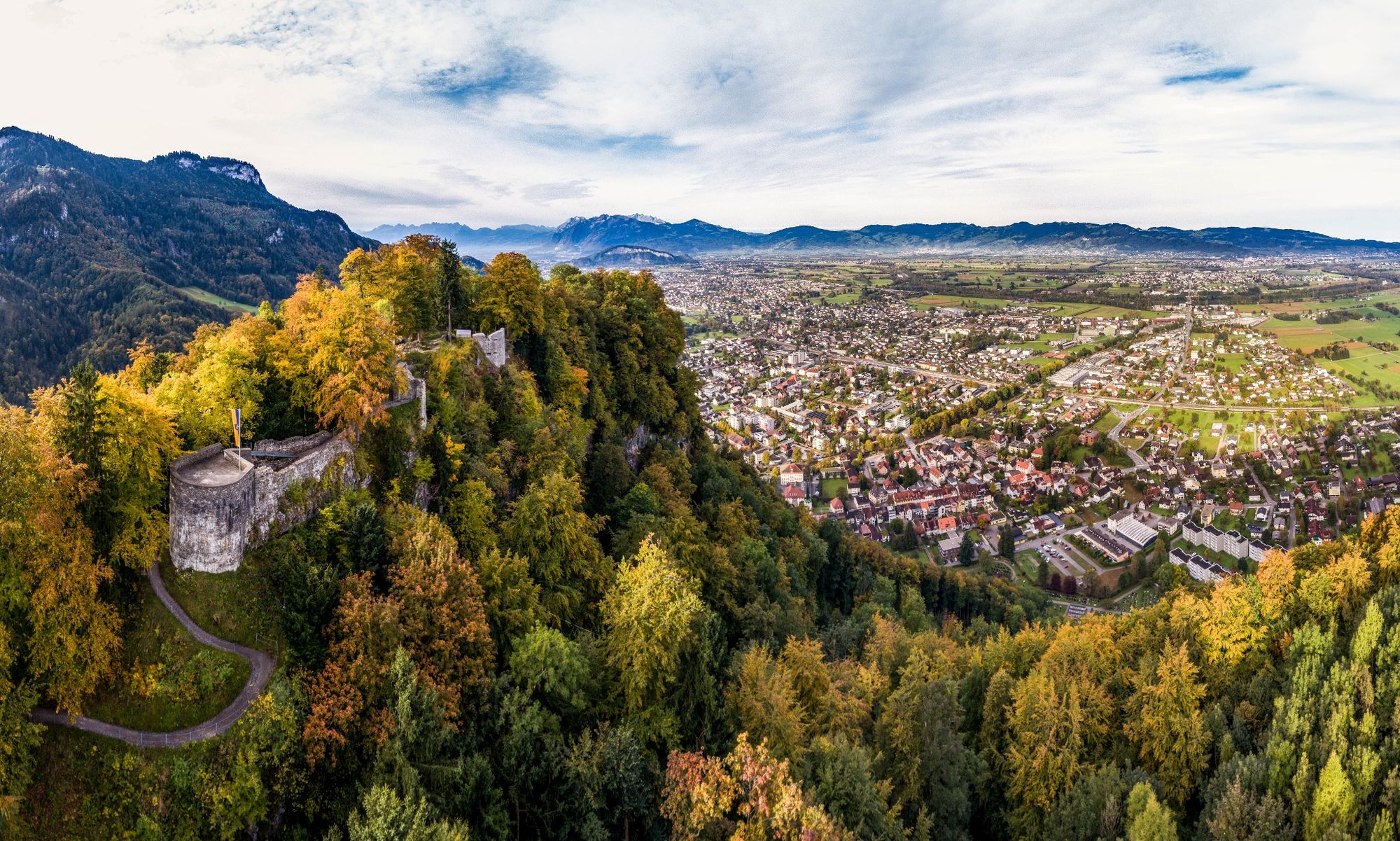
Die Fernsicht der in 740m Meereshöhe thronenden Festung (Ruine) ist beeindruckend. Sie erfasst das Rheintal von der Neuburg (oberhalb von Klaus) bis zum Bodensee und über den See.
- Difficulty
-
medium
- Rating
-
- Route
-
LeuezügSchlossberg0.9 kmStälli1.9 kmSäge3.5 kmKanzlei3.6 kmWinzersteig3.6 kmTorbogen3.8 kmUnters Gsätzle3.8 kmPlatzbruck3.8 kmJudaviertel3.9 kmJudagass3.9 kmHohenems (432 m)3.9 kmFähnele4.0 kmKirchenfeld4.0 kmSt. Karl Borromäus4.0 km
- Best season
-
JanFebMarAprMayJunJulAugSepOctNovDec
- Highest point
- 671 m
- Endpoint
-
Pfarrkirche St. Karl
- Height profile
-


- Author
-
The tour Rundwanderung: Ruine Alt-Ems is used by outdooractive.com provided.
GPS Downloads


General info
Cultural/Historical
A lot of view
Other tours in the regions
-
St. Gallen - Bodensee
2070
-
St. Galler Rheintal
1332
-
Hohenems
344


