


- Brief description
-
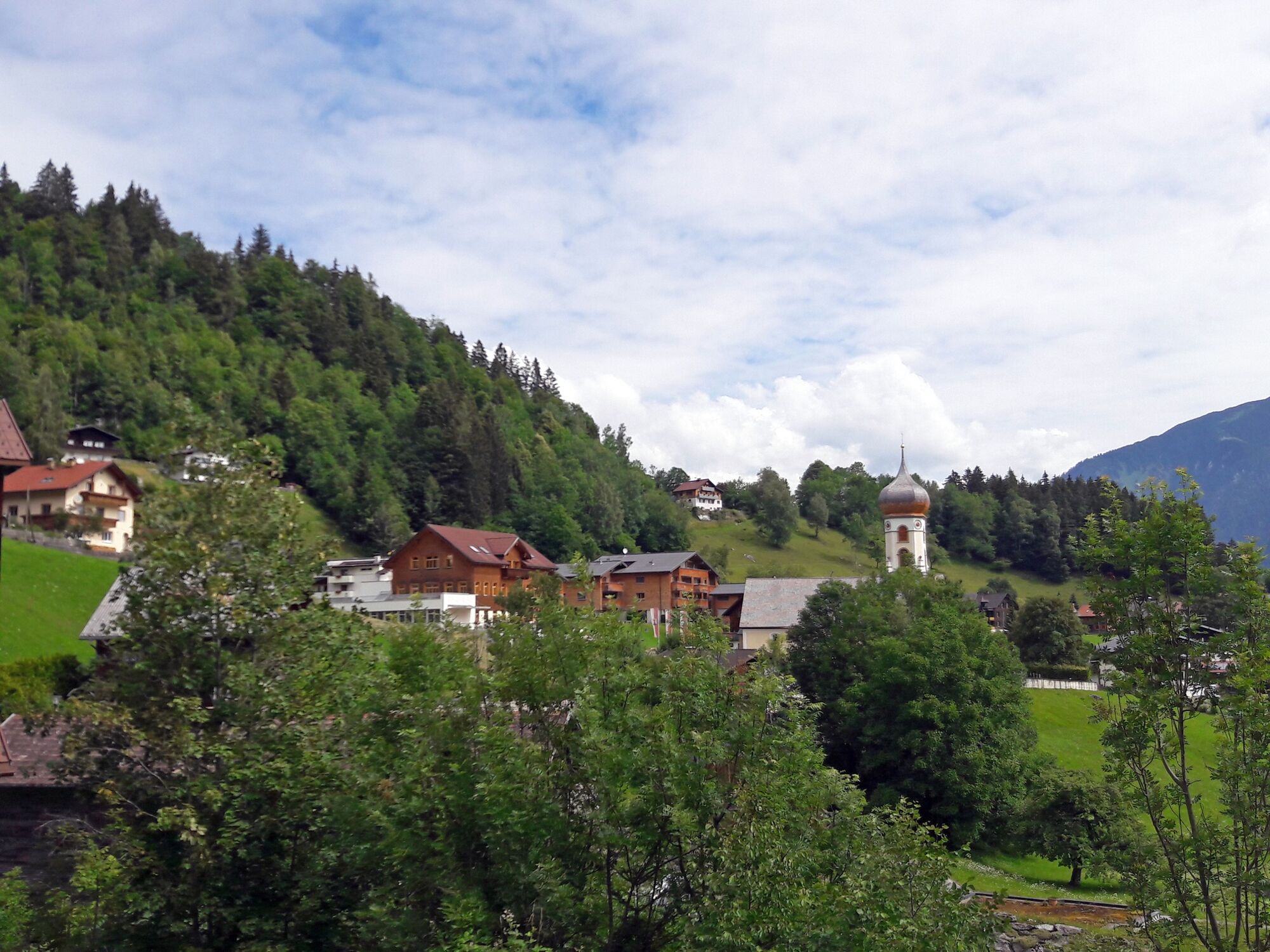
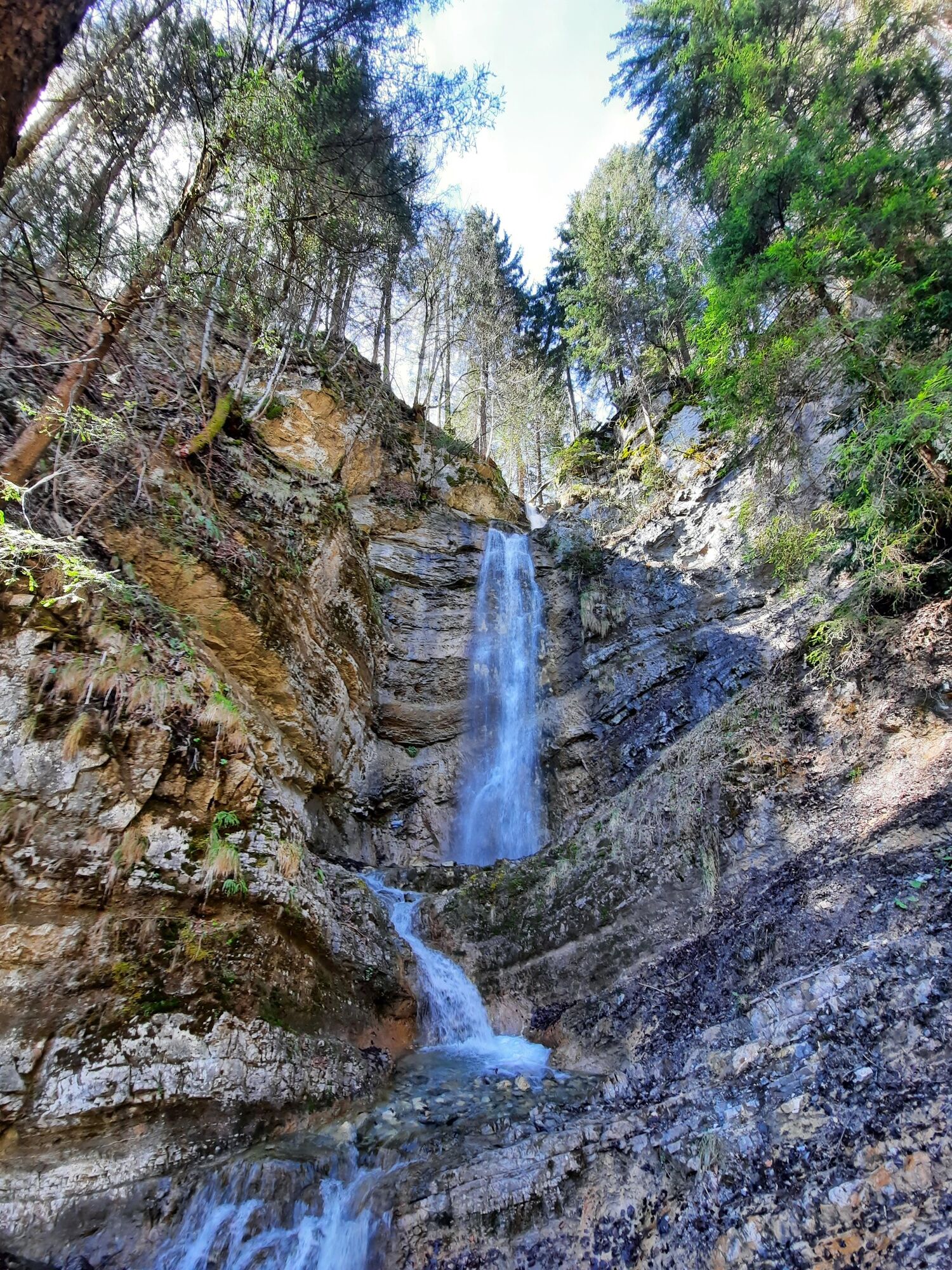
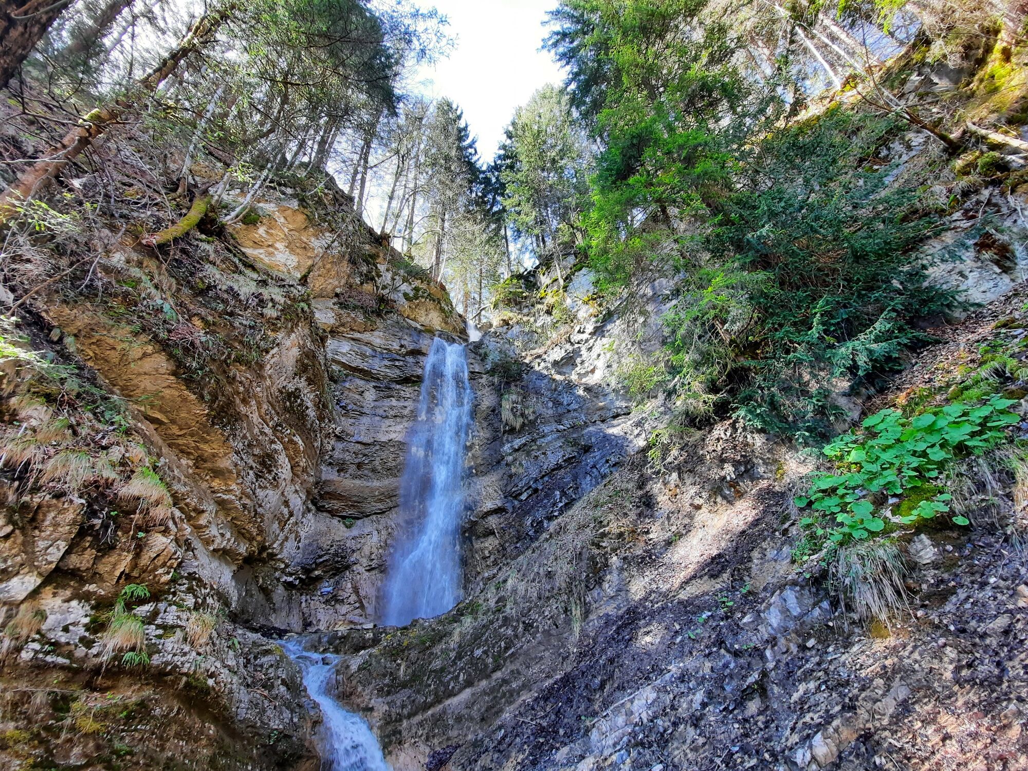
The waterfall at Ausserberg is a very worthwhile destination and is also very popular with families with children.
- Difficulty
-
easy
- Rating
-
- Starting point
-
Municipal office, Bürserberg
- Route
-
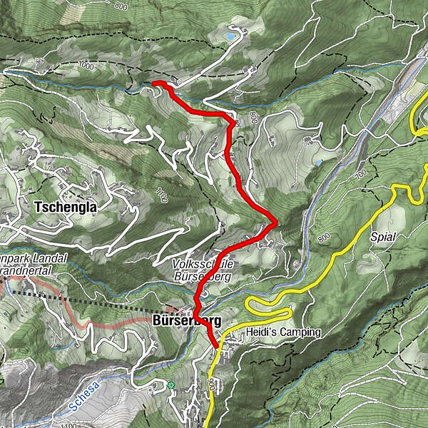
Pfarrkirche heiliger Josef0.5 kmPfarrkirche heiliger Josef4.2 kmBürserberg4.5 km
- Best season
-
JanFebMarAprMayJunJulAugSepOctNovDec
- Description
-
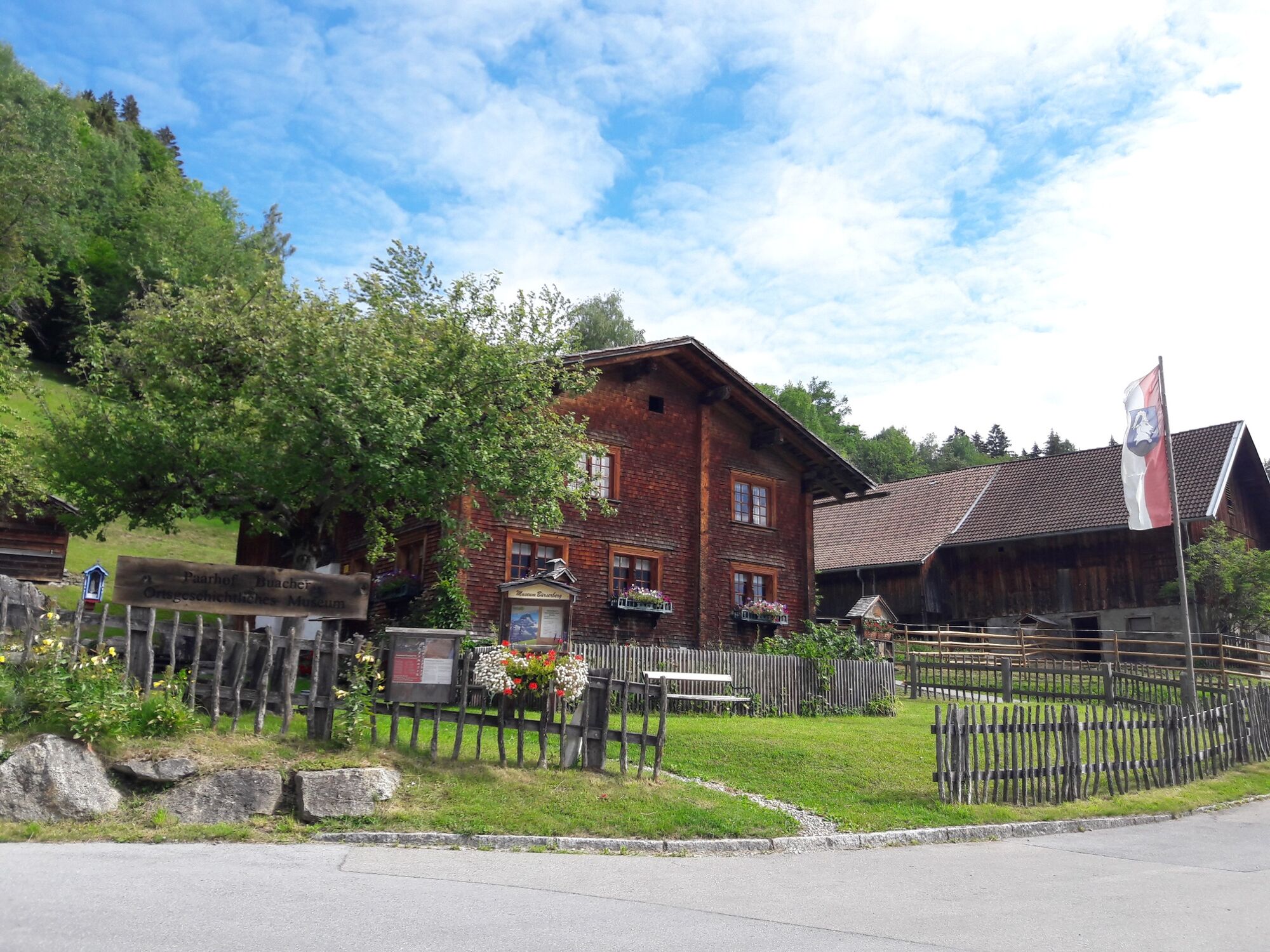
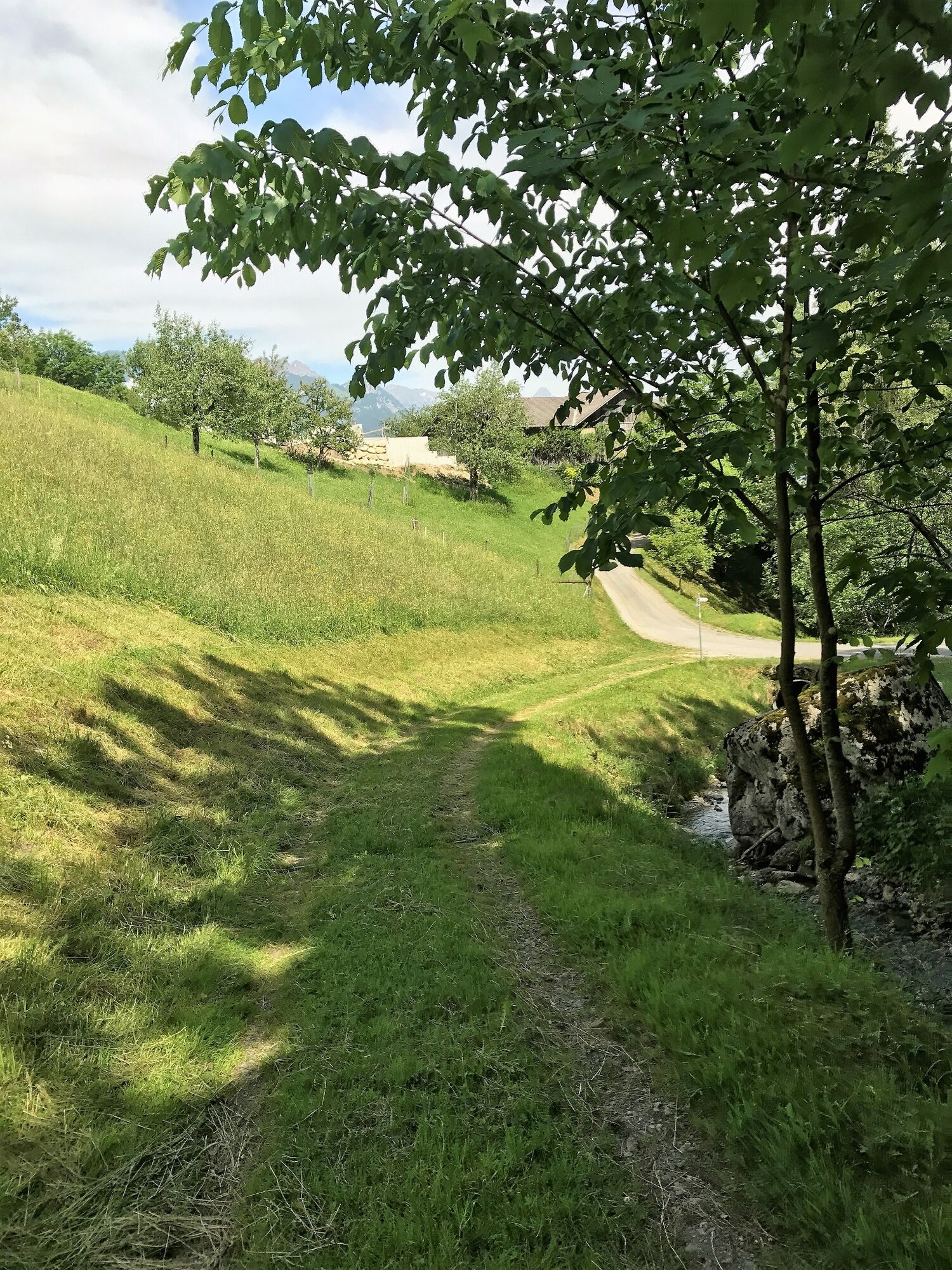
From the Bürserberg municipal office, hike along the road in the direction of Parzelle Matin, past the parish church, on to Ausserberg. In Ausserberg follow the signs to the waterfall. The path to the waterfall is suitable for strollers, and at the waterfall there are 2 tables with benches for a leisurely rest with the children. Return via the same path.
- Directions
-
Bürserberg municipal office - Matin - Ausserberg - waterfall - Ausserberg - Matin - Bürserberg municipal office
- Highest point
- 893 m
- Endpoint
-
Municipal office, Bürserberg
- Height profile
-

- Equipment
-
Sturdy shoes, warm clothing, rain and sun protection, filled water bottle and snack as well as hiking poles are recommended. Mobile phone in case of emergency.
- Safety instructions
- Directions
-
www.maps.google.at
- Public transportation
- Parking
-
Opposite municipal office Bürserberg or at the parking lot of the Einhornbahn I.
- Author
-
The tour To the waterfall "Ausserberg" | Bürserberg is used by outdooractive.com provided.


-
St. Gallen - Bodensee
2066
-
Brandnertal
1568
-
Bürserberg
483


