- Brief description
-
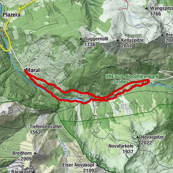
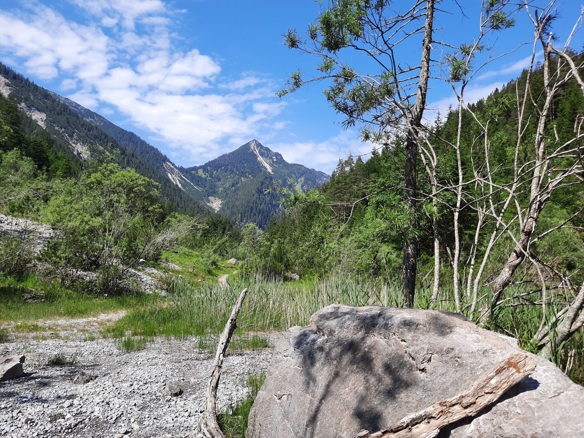
Natural hike along the Marulbach stream to the Fuchswaldalpe.
- Difficulty
-
easy
- Rating
-
- Starting point
-
Hiking parking lot, Marul
- Route
-
St. Katharina0.0 kmMarul0.2 kmHubertuskapelle7.2 kmGasthaus Walserklause Marul8.4 kmMarul8.4 kmSt. Katharina8.6 km
- Best season
-
JanFebMarAprMayJunJulAugSepOctNovDec
- Description
-
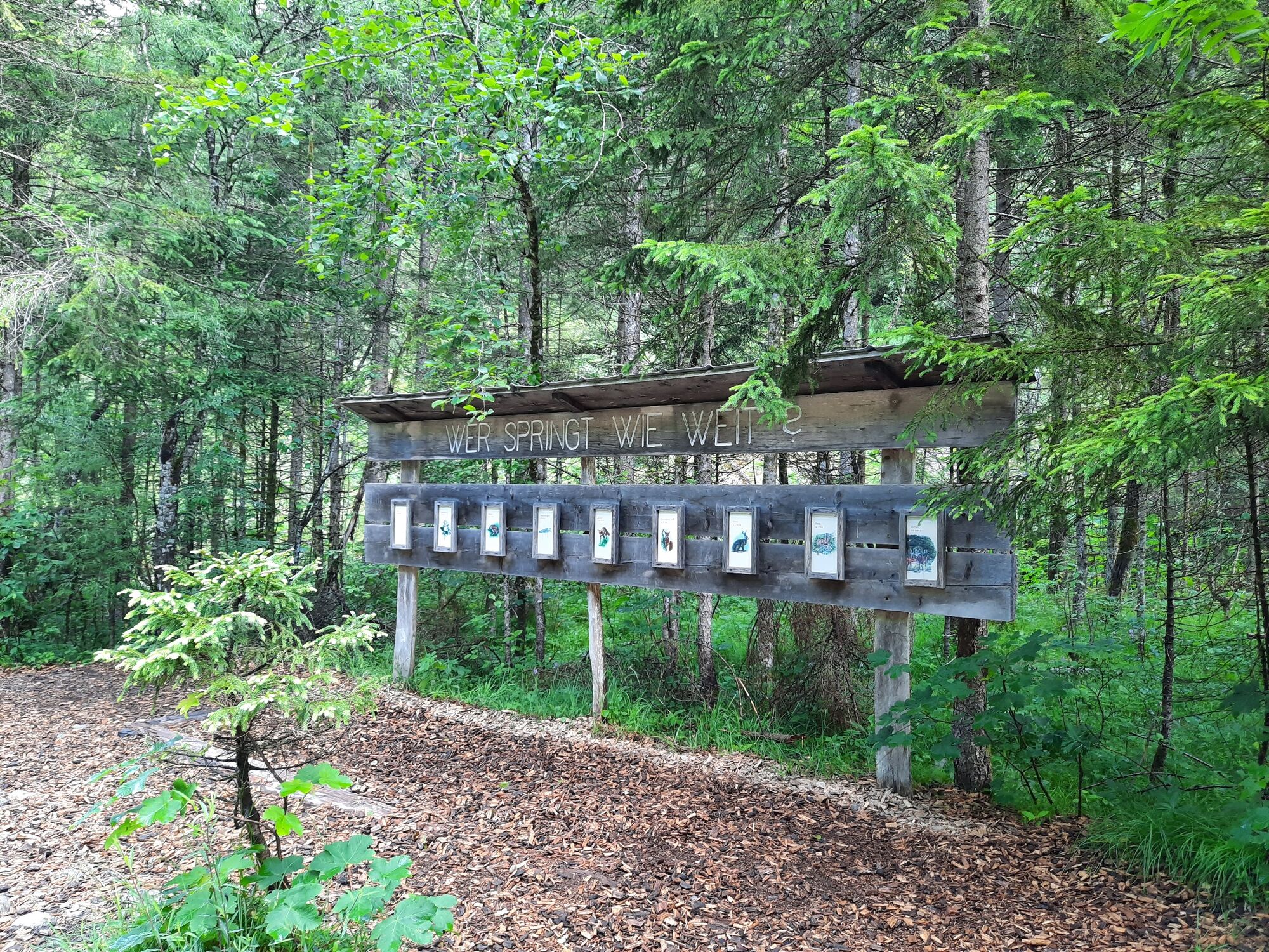
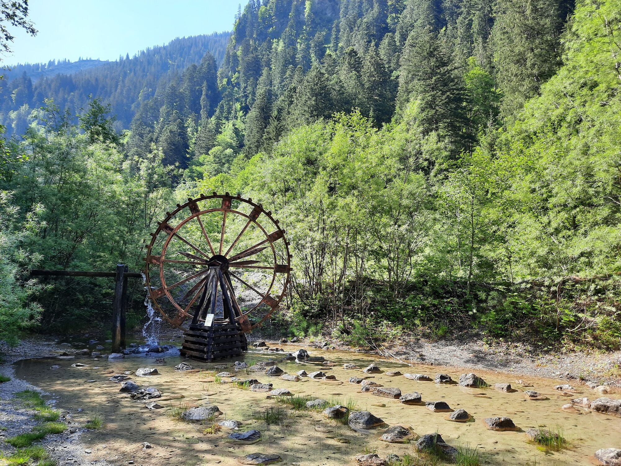
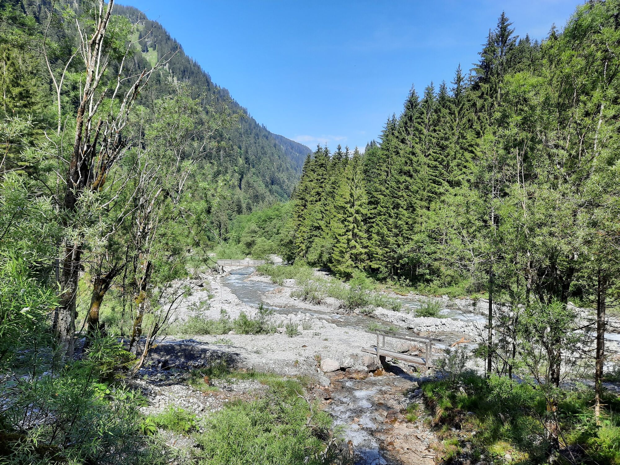
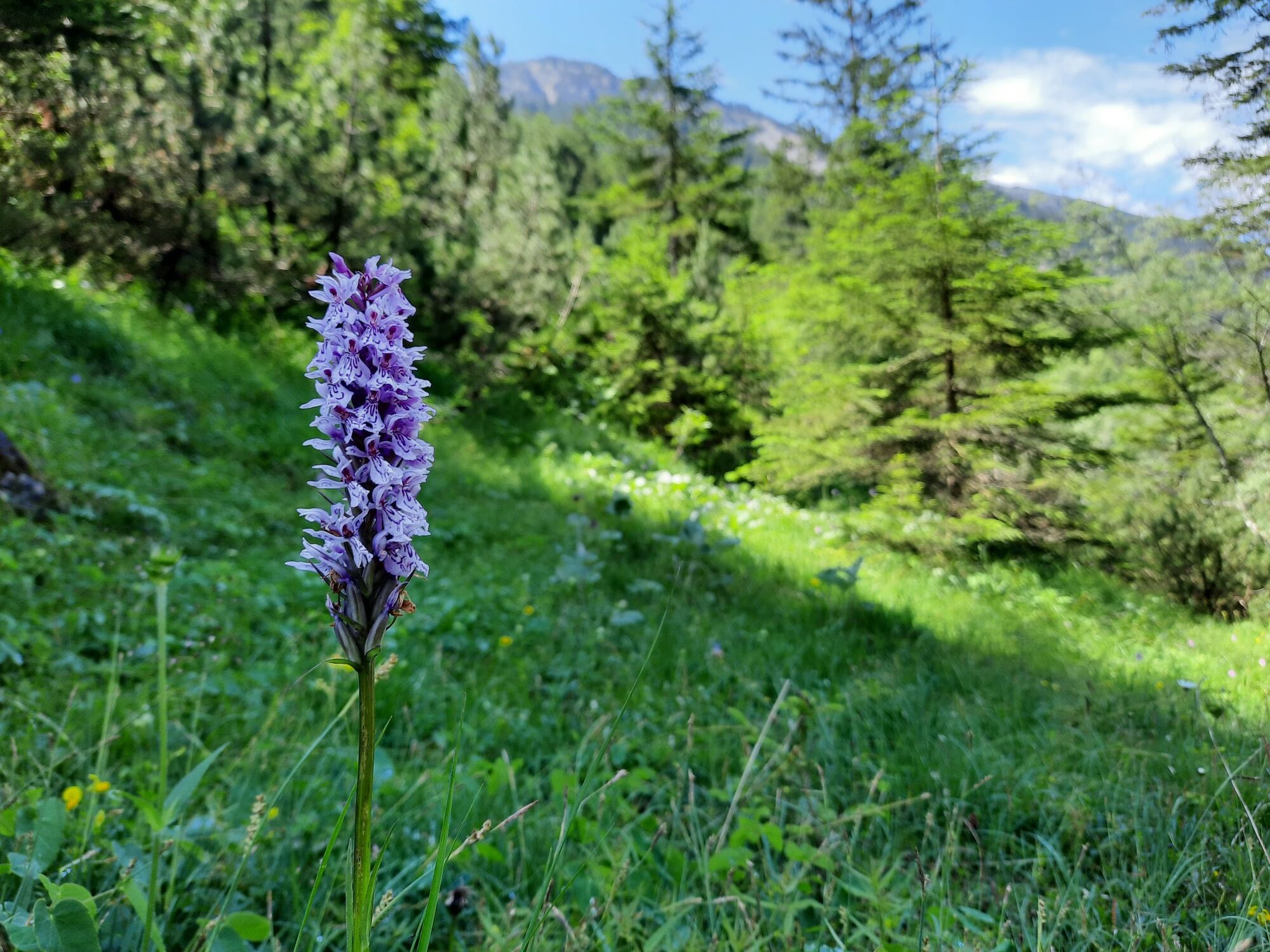
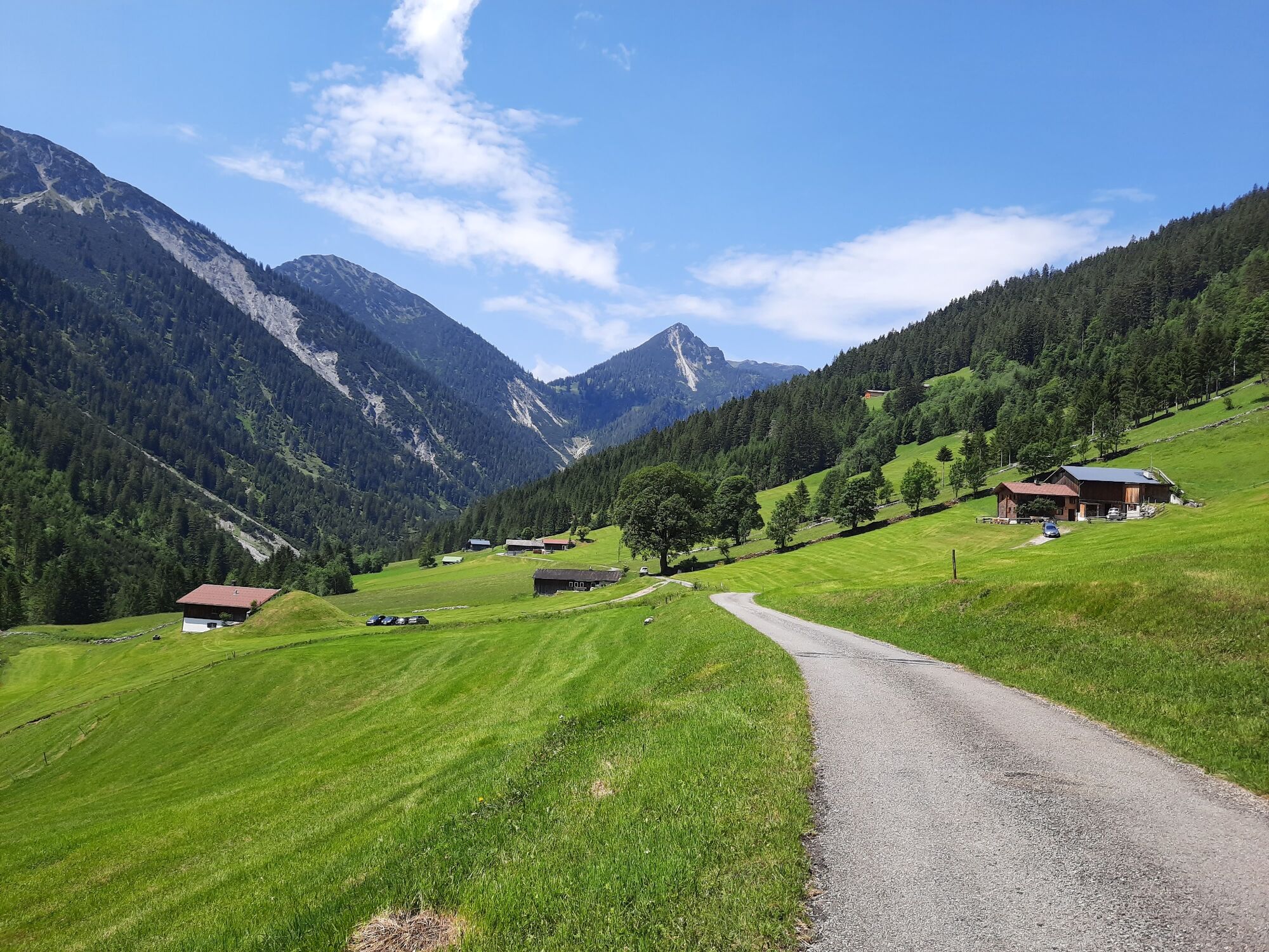
This hike starts at the parking lot in Marul. From here, the first part of the hike leads along the forest adventure trail Marul. At the barbecue area of the forest adventure trail, the large loop of the forest adventure trail leads further into the valley. You cross several small bridges and always follow the stream towards the Fuchswaldalpe. Shortly before the Fuchswaldalpe, the trail leads across a meadow up to the Güterweg. From here the trail leads along the goods road or alternatively a short stretch along the hiking trail out of the valley, back to the starting point.
- Directions
-
Hiking parking lot Marul - forest adventure trail - along the brook further - bridge - Fuchswaldalpe - goods road - hiking parking lot Marul
- Highest point
- 1,127 m
- Endpoint
-
Hiking parking lot, Marul
- Height profile
-

- Equipment
-
Mountain boots with tread sole, sun and rain protection, snack, filled water bottle and first aid kit. Cell phone for emergencies.
- Safety instructions
- Directions
-
www.maps.google.at
- Public transportation
- Parking
-
Hiking parking lot Marul, Raggal-Marul
- Author
-
The tour Along the Marulbach to the Fuchswaldalpe | Raggal-Marul is used by outdooractive.com provided.