- Brief description
-
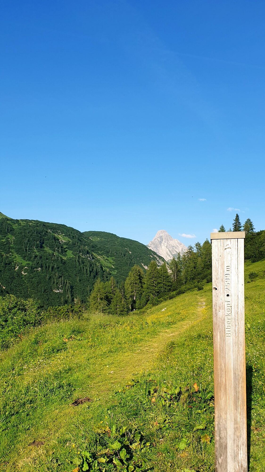
From the village square Warth, the path leads you past Steffisalp-Express at Walserhus. Passing the Sporthotel Steffisalp on the right, a hiking trail leads to the plot Wolfegg. Now continue along the path of the old salt road until you arrive in Hochkrumbach. Take the bus back.
- Difficulty
-
easy
- Rating
-
- Starting point
-
Warth village square
- Route
-
Warth (1,495 m)0.0 kmPfarrkirche St. Sebastian0.2 kmWolfegg1.2 kmHolzbodenalpe2.5 km
- Best season
-
JanFebMarAprMayJunJulAugSepOctNovDec
- Description
-
Touring.
Village square Warth - Steffisalp-Express - Plot Wolfegg - Alte Salzstraße - Hochkrumbach
- Directions
-
Touring.
Village square Warth - Steffisalp-Express - Plot Wolfegg - Alte Salzstraße - Hochkrumbach
- Highest point
- 1,631 m
- Endpoint
-
Hochkrumbach
- Height profile
-

- Equipment
-
This should never be missing on the mountain.
Backpack, First-Aid Set incl. Bladder plaster, telephone with emergency number, cash, drinking bottle, pocket knife, provisions, sun protection in good weather.
- Safety instructions
-
Emergency numbers.
140 - Alpine emergencies throughout Austria
144 - Alpine emergencies in Vorarlberg
112 - Euro emergency call
- Additional information
- Directions
- Public transportation
- Parking
-

-
AuthorThe tour Salzstraße to Hochkrumbach is used by outdooractive.com provided.