


- Brief description
-
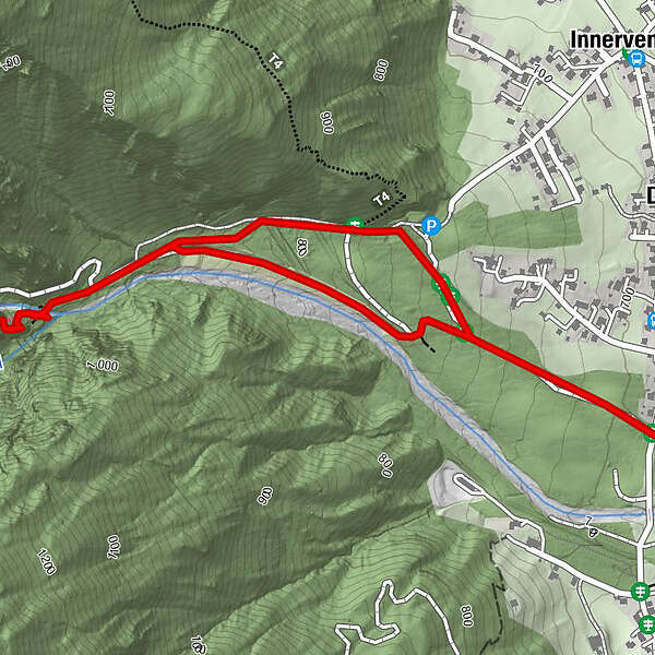
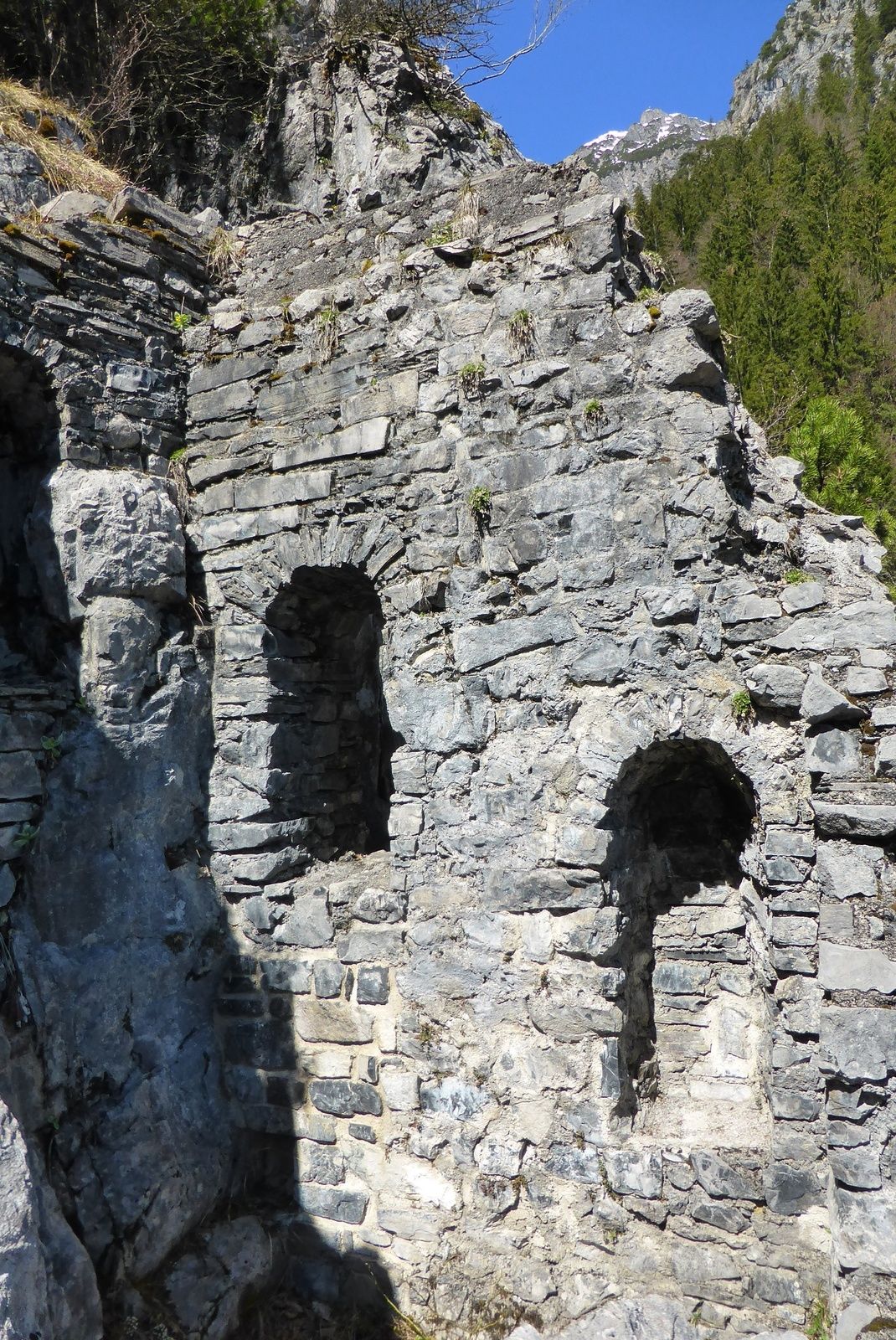
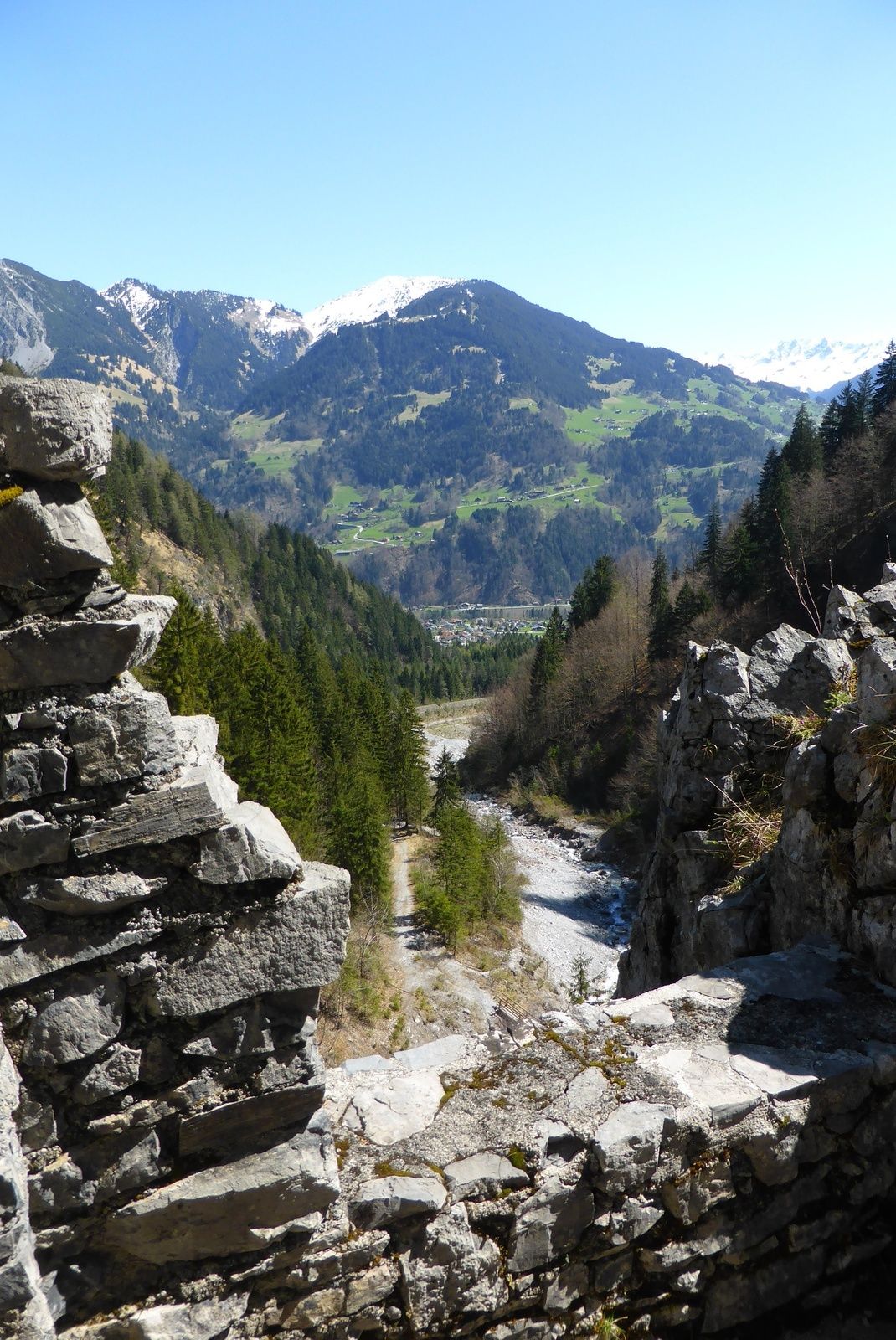
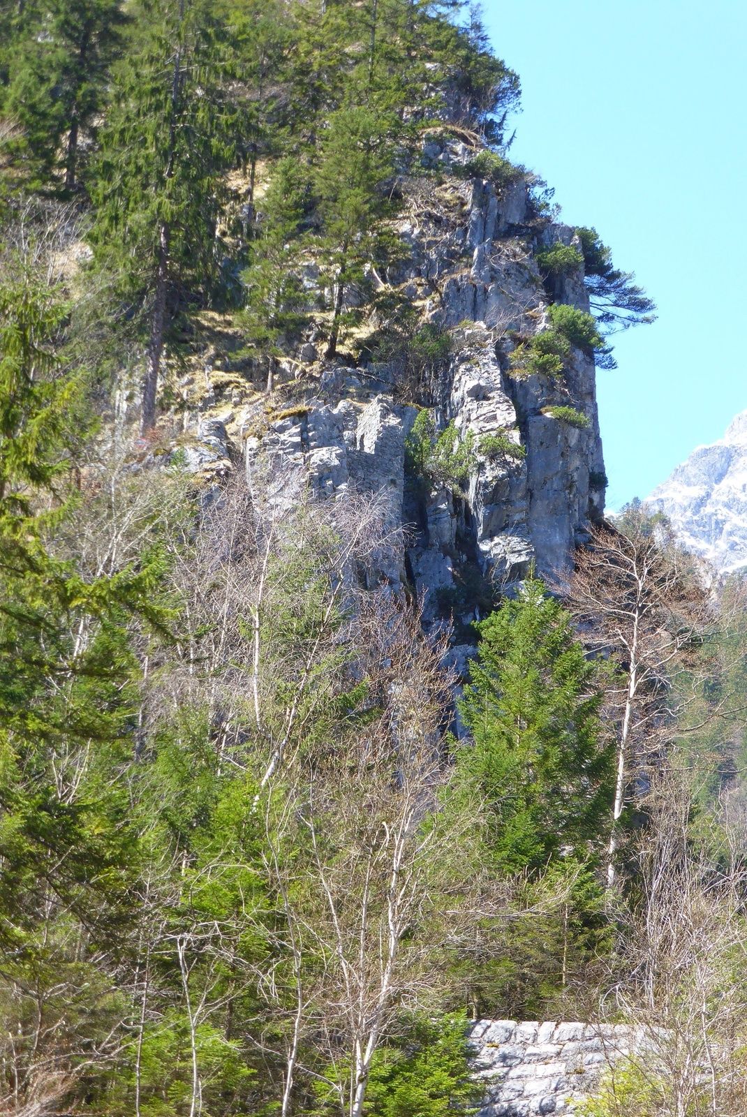
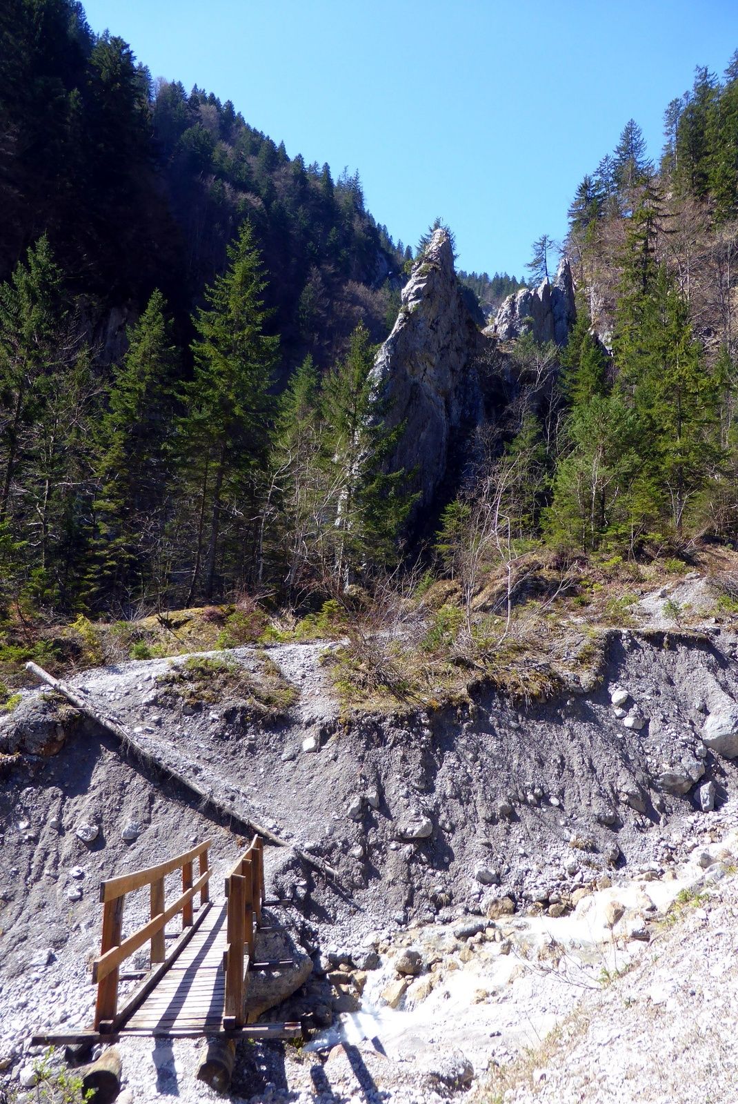
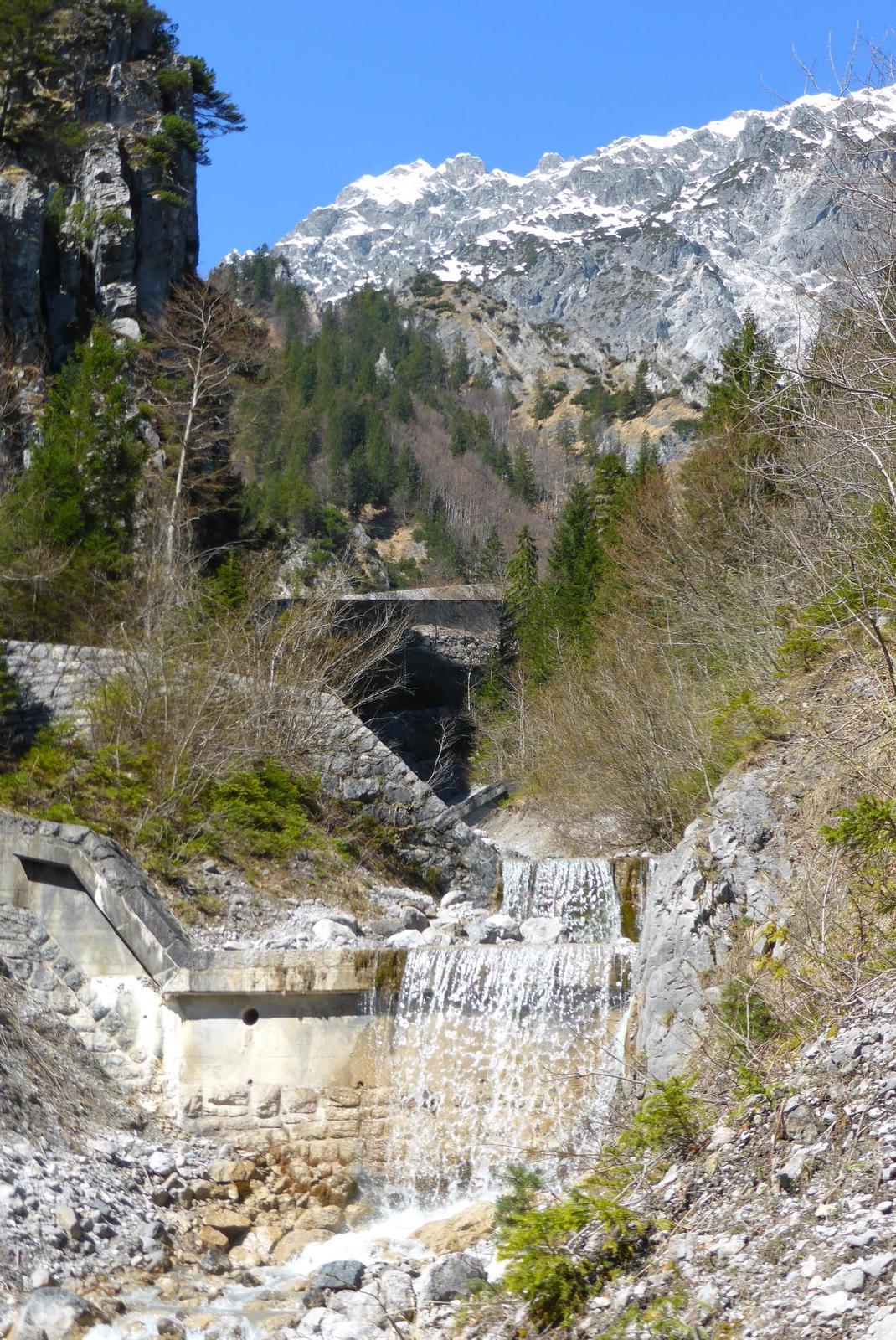
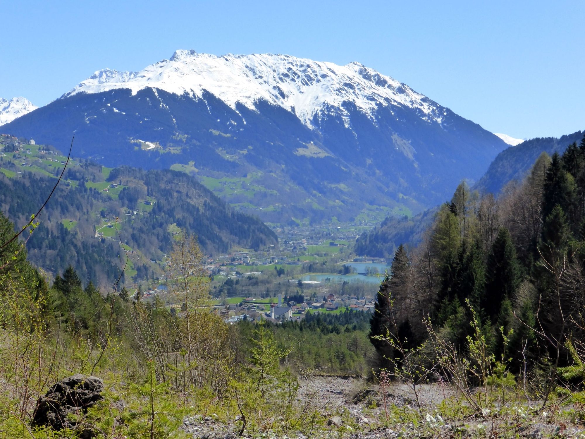
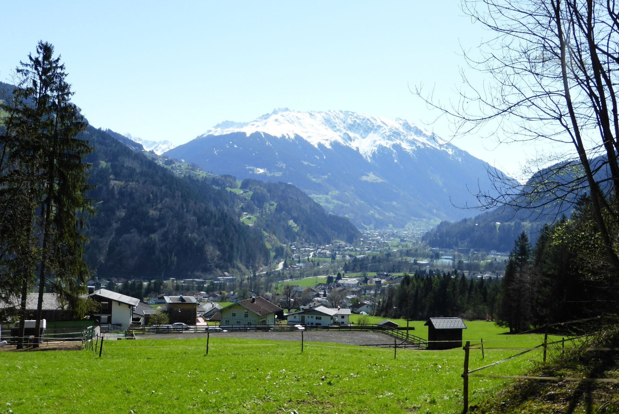
Vandans - Valkastielstrasse (nach Mustergielbrücke) - Wanderweg - Ruine Valkastiel und retour
- Difficulty
-
medium
- Rating
-
- Best season
-
JanFebMarAprMayJunJulAugSepOctNovDec
- Highest point
- 943 m
- Endpoint
-
Valkastielstrasse (nach der Mustergielbrücke)
- Height profile
-

-

-
AuthorThe tour Ruine Valkastiel is used by outdooractive.com provided.
GPS Downloads


General info
Cultural/Historical
A lot of view
Other tours in the regions
-
Alpenstadt Bludenz
1847
-
Vandans
559


