
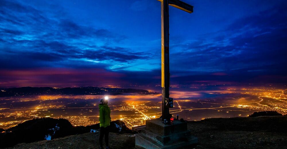
© Bodensee-Vorarlberg Tourismus GmbH - Tourismusbüro Hohenems

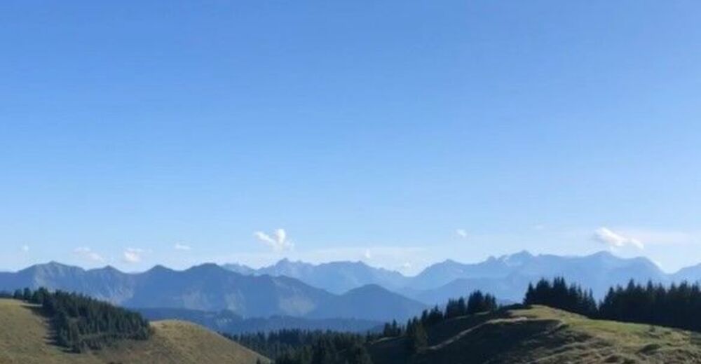
© Bodensee-Vorarlberg Tourismus GmbH - Tourismusbüro Hohenems
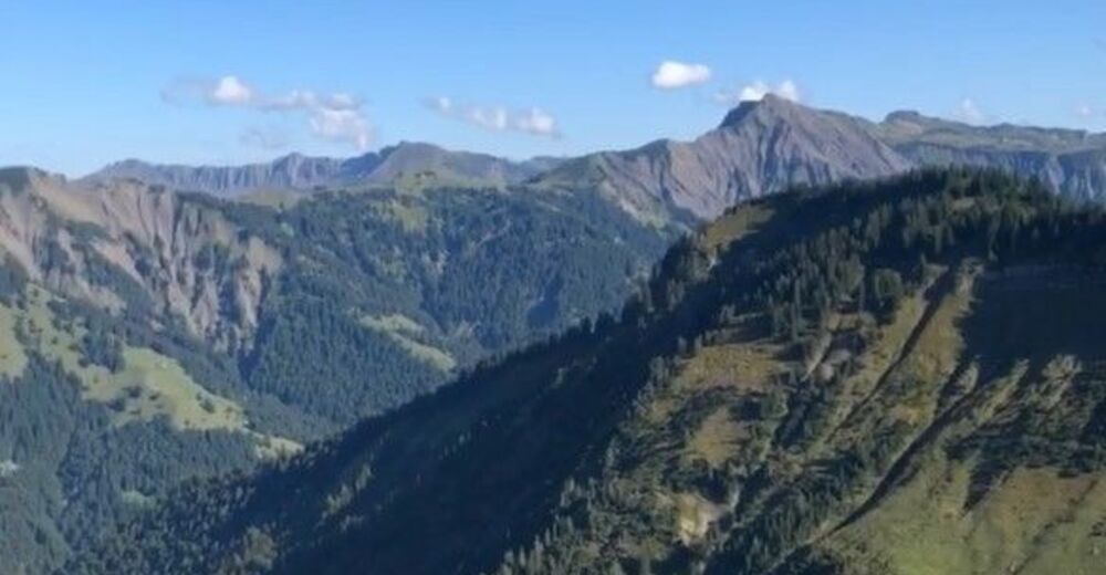
© Bodensee-Vorarlberg Tourismus GmbH - Tourismusbüro Hohenems

- Brief description
-
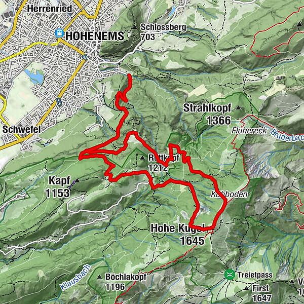
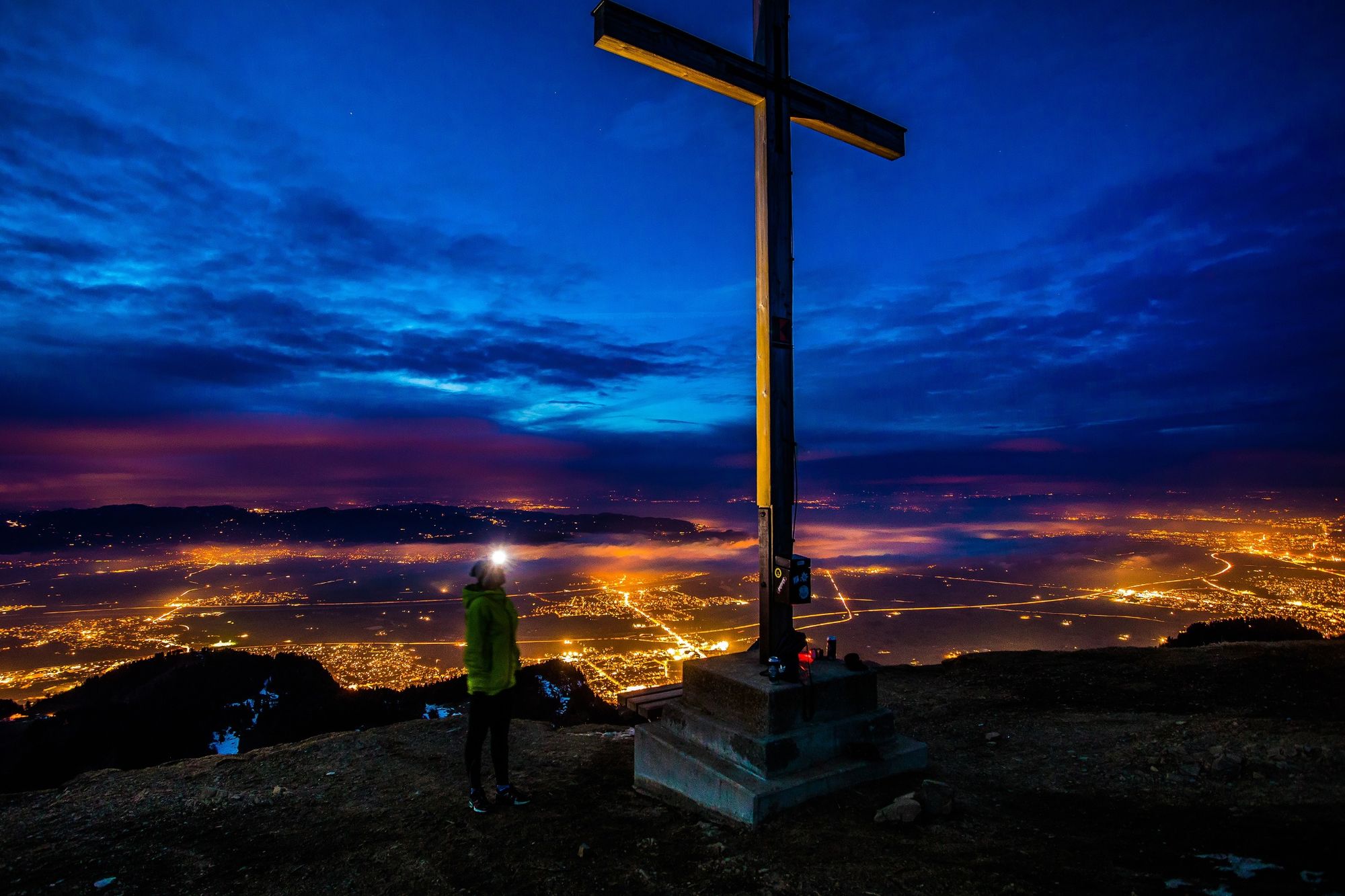
Bergtour: Ledi - Langer Rank - Stieg - Wiesle - Millrütte - Hohe Kugel - Kühboden - Wiessa-Stua-Weg - Gsohlälpele - Alpe Gsohl - Ledi
- Difficulty
-
medium
- Rating
-
- Route
-
Hohenems (432 m)Hirschrütti (600 m)0.7 kmLanger Rank (860 m)2.0 kmRappenloch2.5 kmKrümmana2.9 kmMillrütte4.4 kmGötzner Naturfreunde Haus4.7 kmHohe Kugel (1,645 m)6.6 kmKühboden7.0 kmÄlpele8.8 kmBöserstein9.4 kmGsohlalpe10.2 kmAlpe Gsohl10.3 kmLanger Rank (860 m)11.3 kmHirschrütti (600 m)12.9 kmHohenems (432 m)13.7 km
- Best season
-
JanFebMarAprMayJunJulAugSepOctNovDec
- Highest point
- 1,615 m
- Endpoint
-
Parkplatz Ledi, Ende Hochquellenstraße
- Height profile
-


- Author
-
The tour Bergtour: Hohe Kugel is used by outdooractive.com provided.
GPS Downloads


General info
Refreshment stop
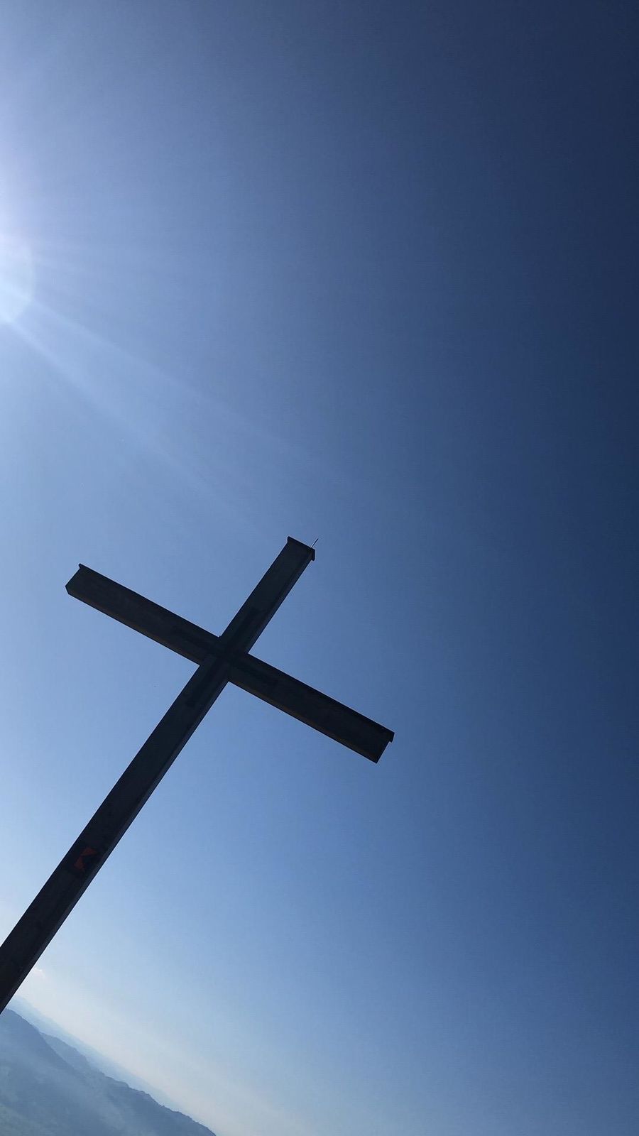
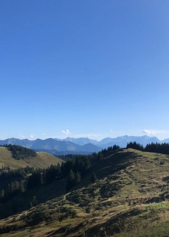
A lot of view
Other tours in the regions
-
St. Gallen - Bodensee
2067
-
St. Galler Rheintal
1334
-
Hohenems
348


