© Vorarlberg Tourismus GmbH - Vorarlberg Tourismus

© Vorarlberg Tourismus GmbH - Vorarlberg Tourismus


© Vorarlberg Tourismus GmbH - Vorarlberg Tourismus

© Vorarlberg Tourismus GmbH - Vorarlberg Tourismus

© Vorarlberg Tourismus GmbH - Vorarlberg Tourismus

© Bodensee-Vorarlberg Tourismus GmbH - Vorarlberg Tourismus

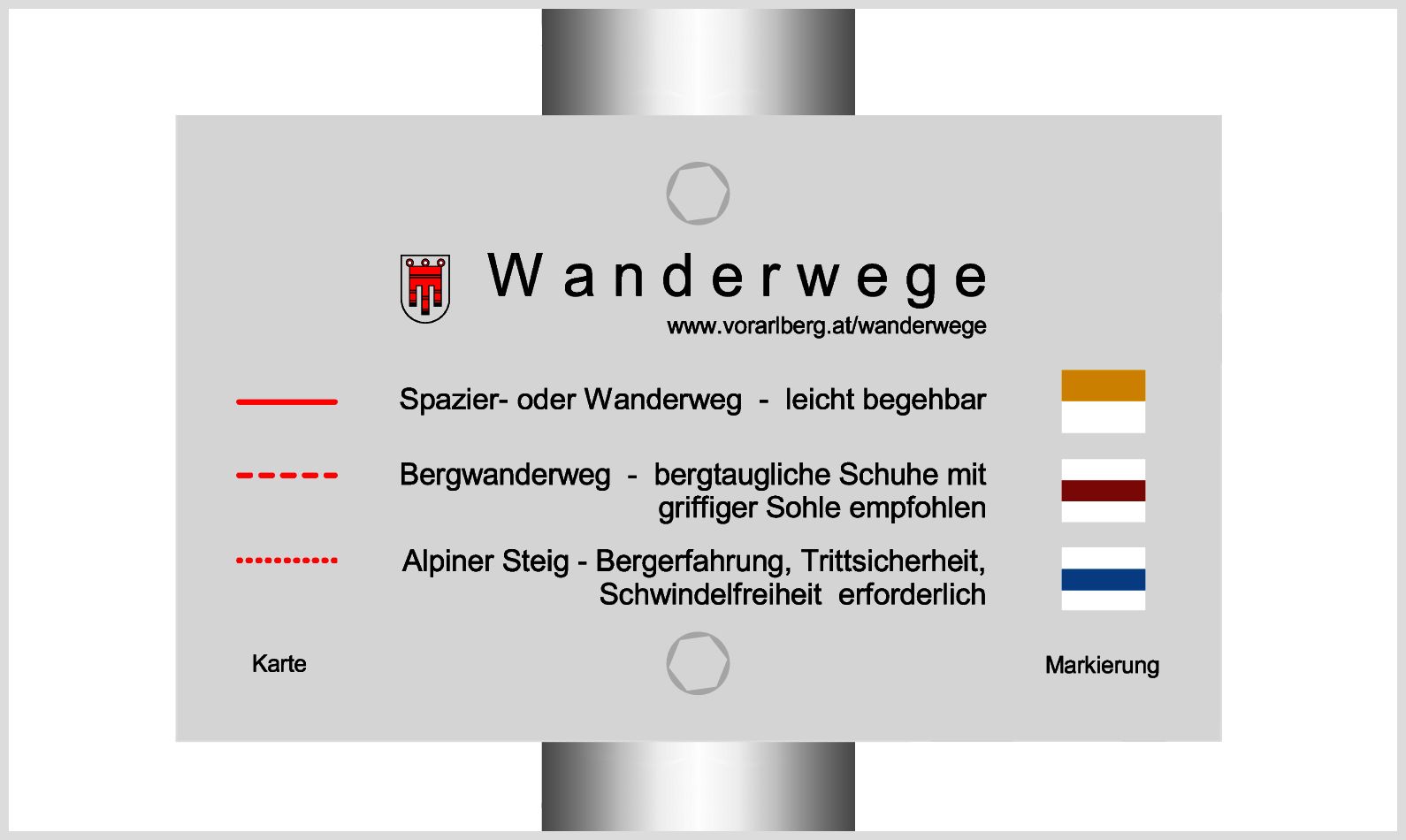
- Difficulty
-
easy
- Rating
-
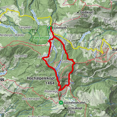
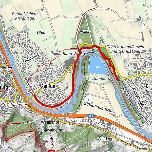
- Route
-
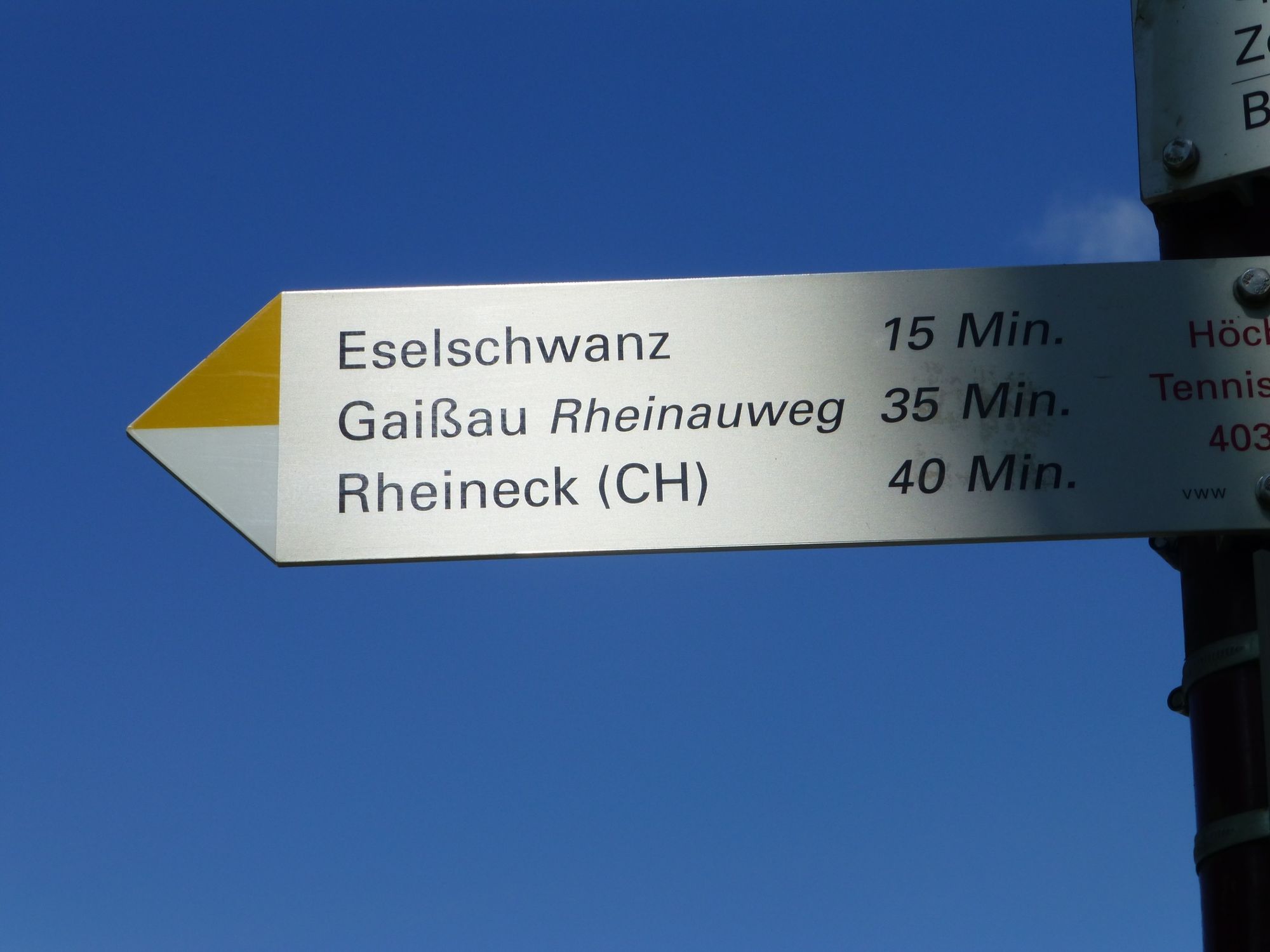
s'Birkele0.1 kmSchlittenhügel (Winter, inoffiziell)2.0 kmGaißau2.6 kmSchlittenhügel (Winter, inoffiziell)2.9 kms'Birkele5.1 km
- Best season
-
JanFebMarAprMayJunJulAugSepOctNovDec
- Highest point
- 405 m
- Endpoint
-
Höchst, Tennishalle
- Height profile
-


- Author
-
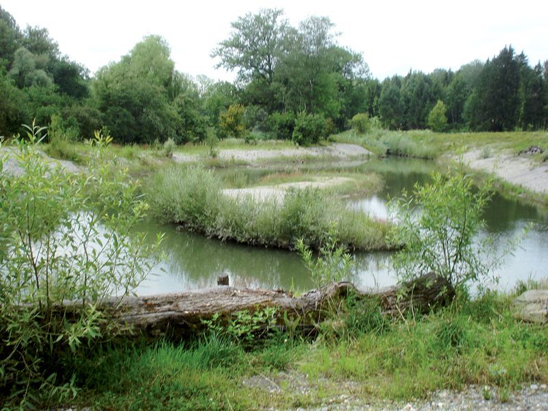
The tour Am Eselschwanz – Spuren eines früheren Rheinlaufs is used by outdooractive.com provided.
GPS Downloads


General info
Refreshment stop
Flora
Fauna
Other tours in the regions
-
St. Gallen - Bodensee
2070
-
Bodensee - Vorarlberg
1315
-
Gaißau
192