

© Dornbirner Seilbahn GmbH - Dornbirn Tourismus & Stadtmarketing GmbH

© Bodensee-Vorarlberg Tourismus GmbH - Friedrich Böhringer
© Bodensee-Vorarlberg Tourismus GmbH - Vorarlberg Tourismus GmbH

- Brief description
-
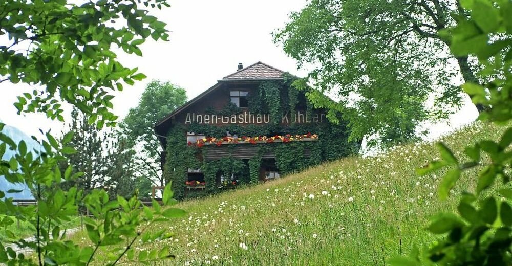
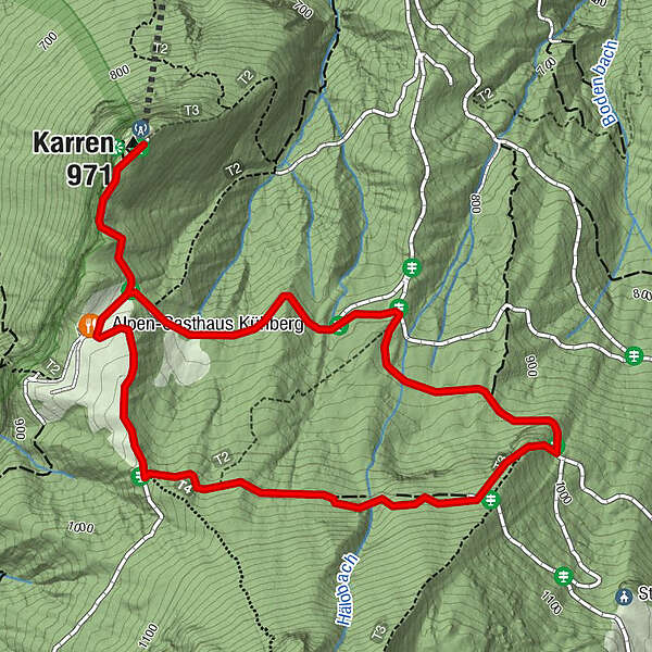
Summit station Karrenbahn - Kühberg - Staufenalpe - summit station Karren
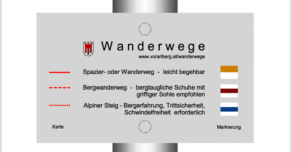
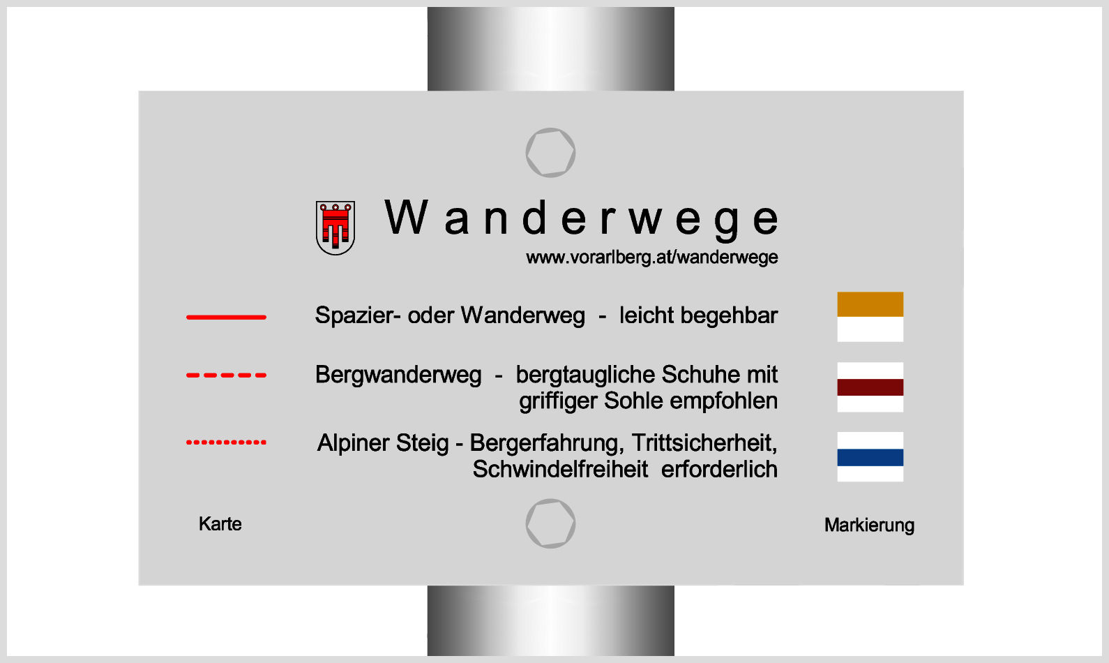
- Difficulty
-
medium
- Rating
-
- Starting point
-
Summit station Karren
- Route
-
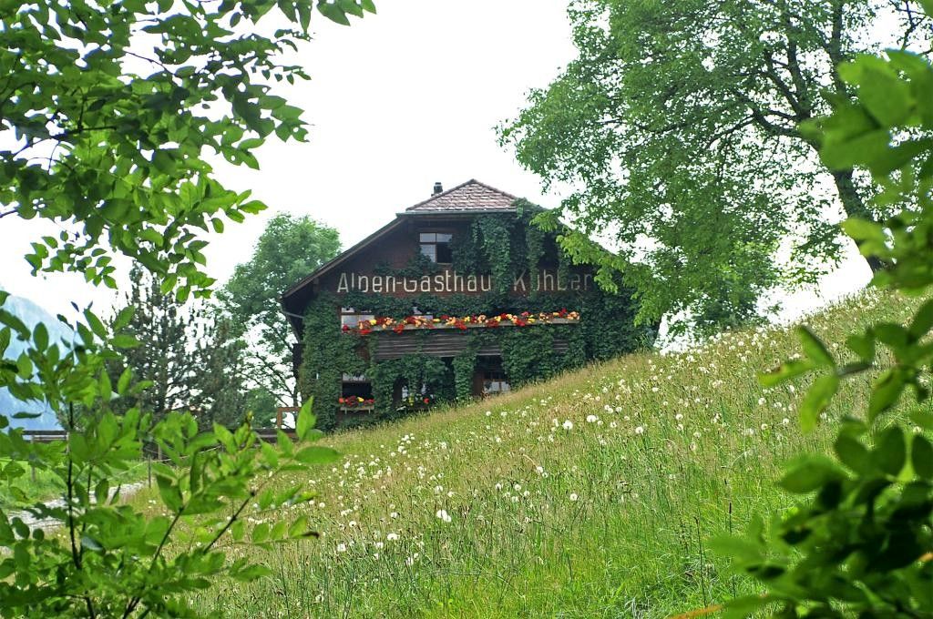
Dornbirn (437 m)Panoramarestaurant KarrenAlpen-Gasthaus Kühberg0.4 kmKühbergalpe0.4 kmKarren (971 m)3.4 km
- Best season
-
JanFebMarAprMayJunJulAugSepOctNovDec
- Directions
-
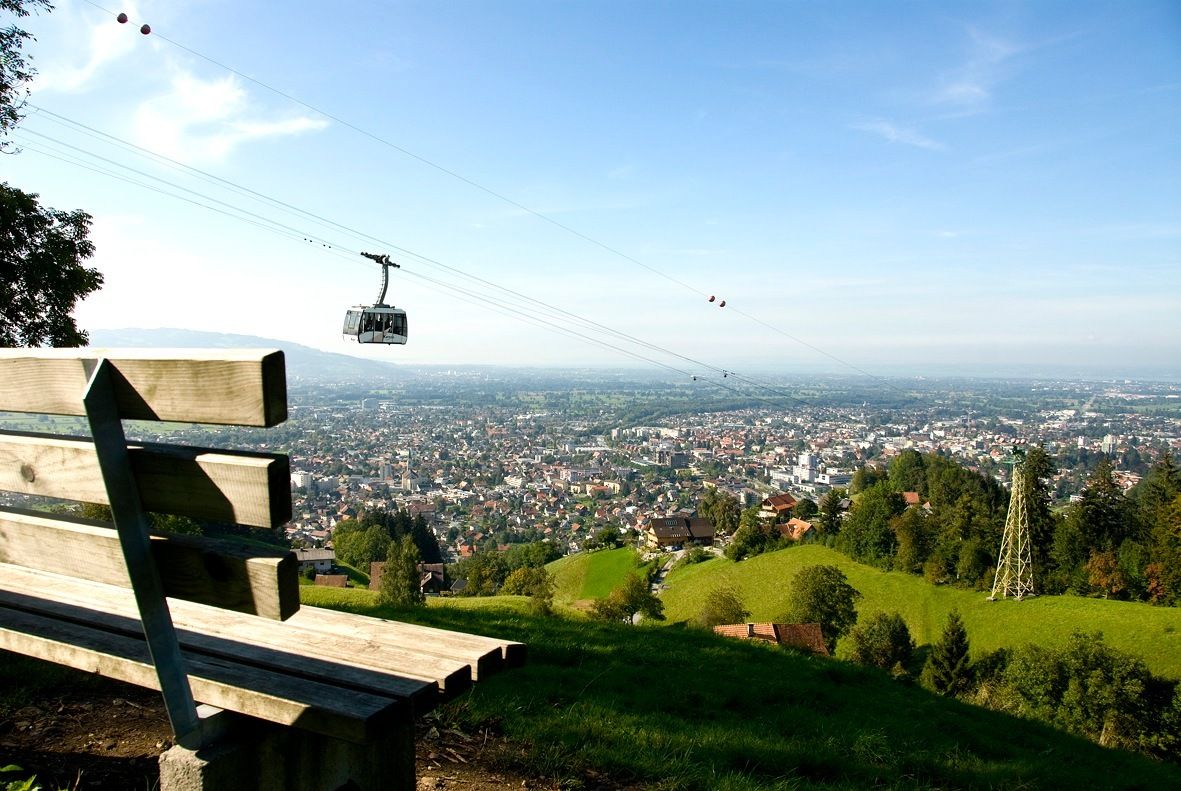
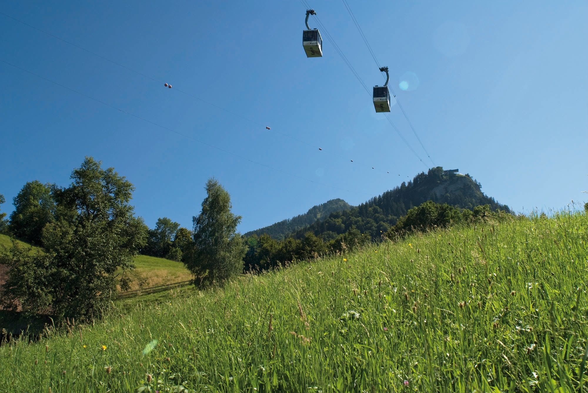
After the ascent with the cable car to the mountain station (976m) you can enjoy the magnificent panoramic view of the Rhine Valley and the Swiss mountains. From the mountain station you hike to Kühberg, where the trail leads through a beautiful alpine meadow landscape and offers beautiful views. Then a hiking trail branches off in the direction of Staufenalpe. On this path you hike slightly uphill in the forest until you reach a turnoff (1070m). The path then descends approx. 170 m in altitude and through wooded areas another 100 m in altitude on a freight path back up to the Karren mountain station.
- Highest point
- 1,078 m
- Endpoint
-
Summit station Karren
- Height profile
-

- Safety instructions
- Tips
-
Panorama restaurant on the Karren www.karren.at
- Additional information
- Public transportation
- Parking
-
Valley station Karren
- Author
-
The tour Karren loop is used by outdooractive.com provided.
GPS Downloads


General info
Refreshment stop
A lot of view
Other tours in the regions
-
St. Gallen - Bodensee
2065
-
Bodensee - Vorarlberg
1315
-
Dornbirn
447


