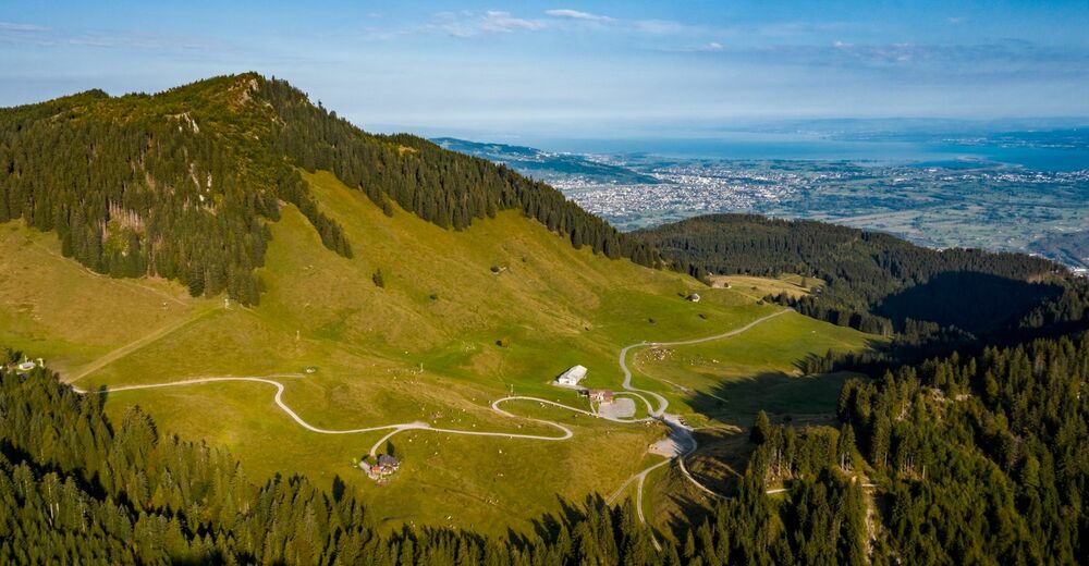
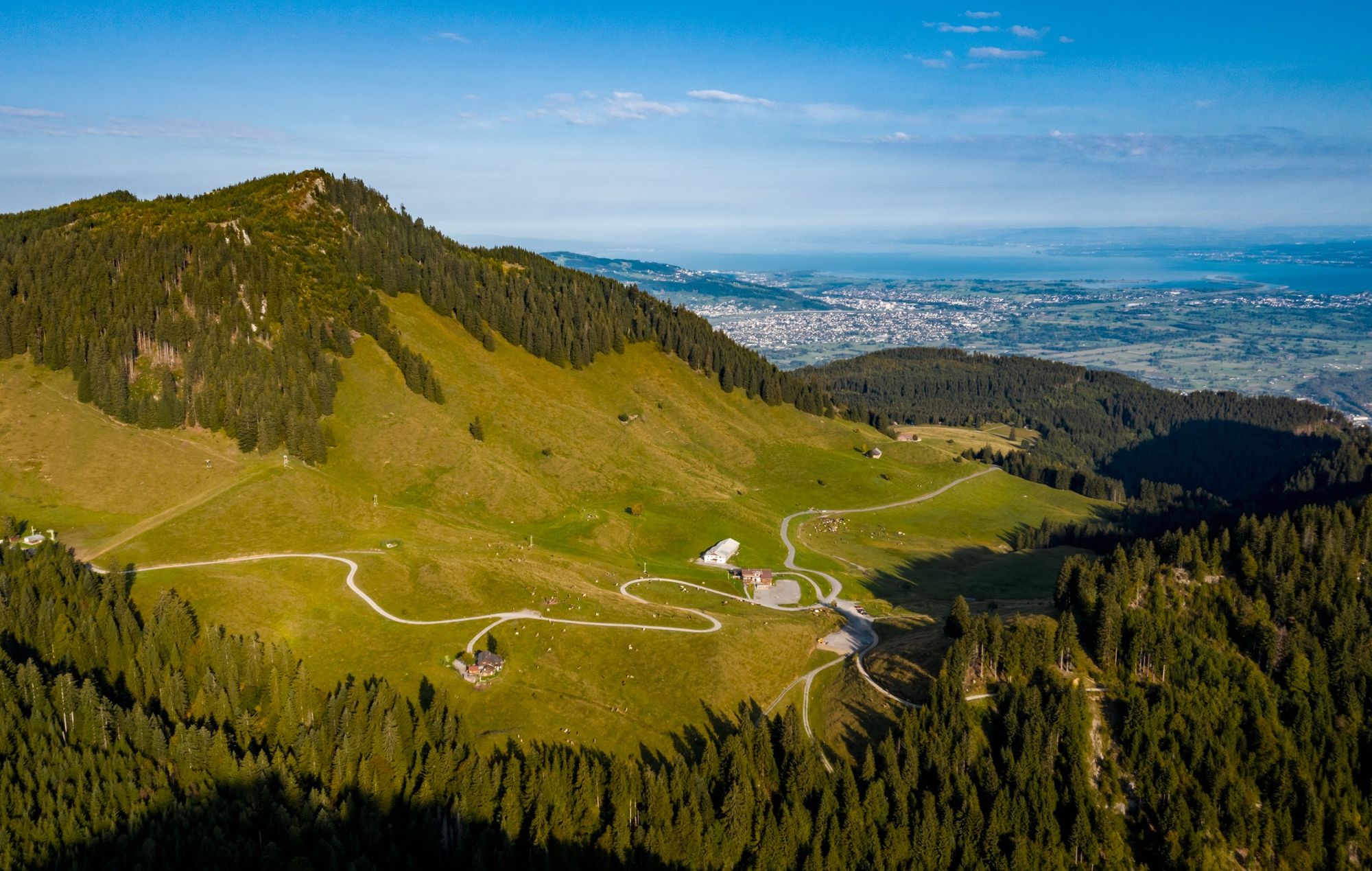
Alpwanderung: Hohenems Schuttannen - Hinterbergalpe - Schönermannalpe - Fluhereck - Gsohl

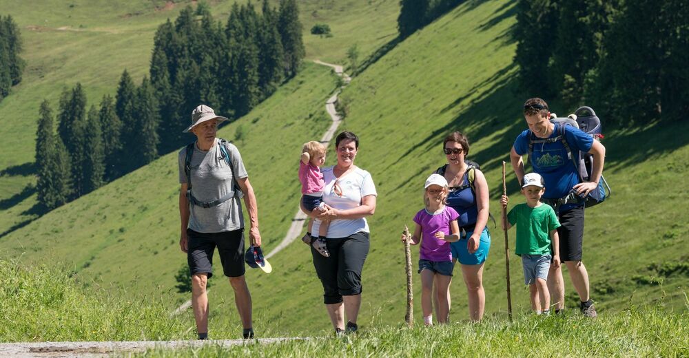
Hiking
© Bodensee-Vorarlberg Tourismus GmbH - Stiplovsek Dietmar
© Bodensee-Vorarlberg Tourismus GmbH - Michael Gunz
© Bodensee-Vorarlberg Tourismus GmbH - Stiplovsek Dietmar pauschal


- Brief description
-
- Difficulty
-
medium
- Rating
-
- Route
-
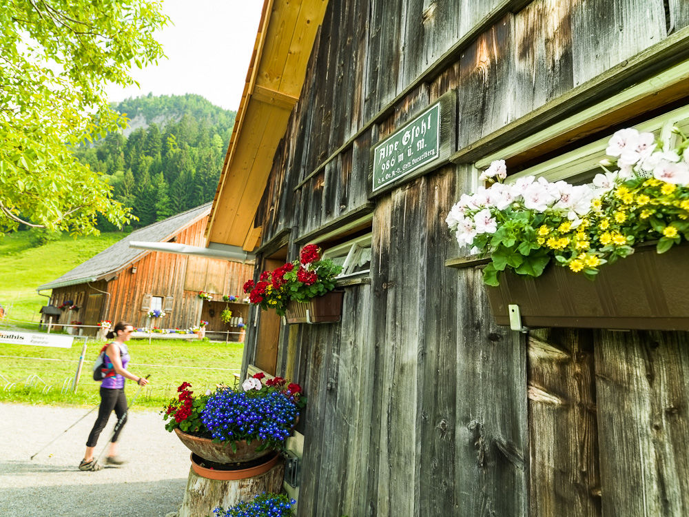
Schuttannen0.1 kmEmser Hütte4.9 kmÄlpele6.6 kmAlpe Gsohl7.8 kmHohenems (432 m)7.8 kmGsohlalpe7.8 kmEmser Hütte10.7 kmSchuttannen15.6 km
- Best season
-
JanFebMarAprMayJunJulAugSepOctNovDec
- Highest point
- 1,423 m
- Endpoint
-
Berggasthof Schuttannen
- Height profile
-


- Author
-
The tour Alpwanderung: Hohenems Schuttannen - Hinterbergalpe - Schönermannalpe - Fluhereck - Gsohl is used by outdooractive.com provided.
GPS Downloads


General info
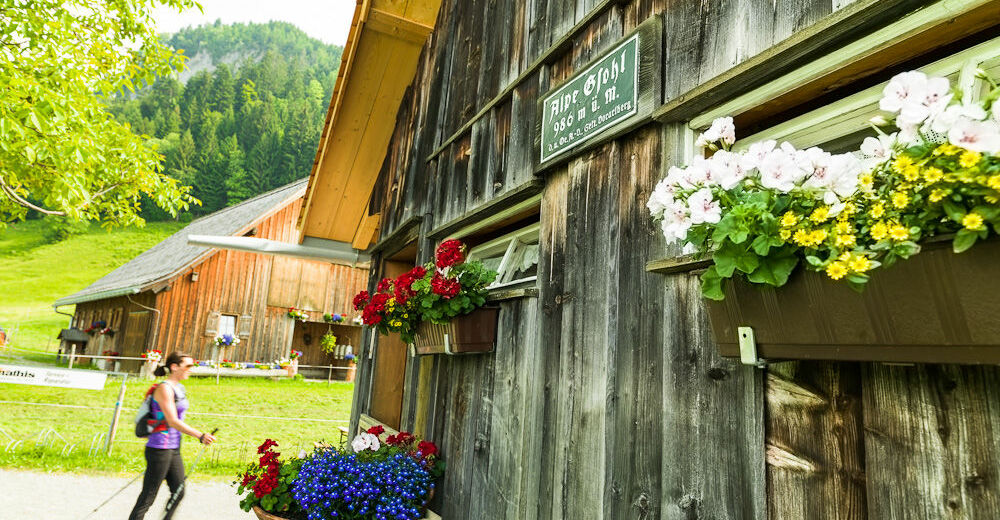
Refreshment stop
Other tours in the regions
-
St. Gallen - Bodensee
2072
-
Bodensee - Vorarlberg
1317
-
Hohenems
348


