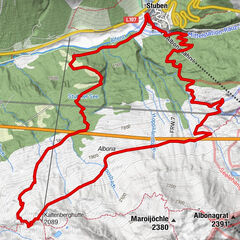

- Difficulty
-
medium
- Rating
-
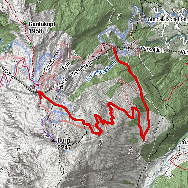
- Route
-
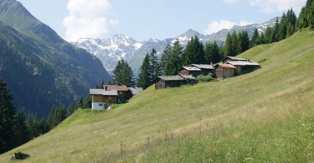
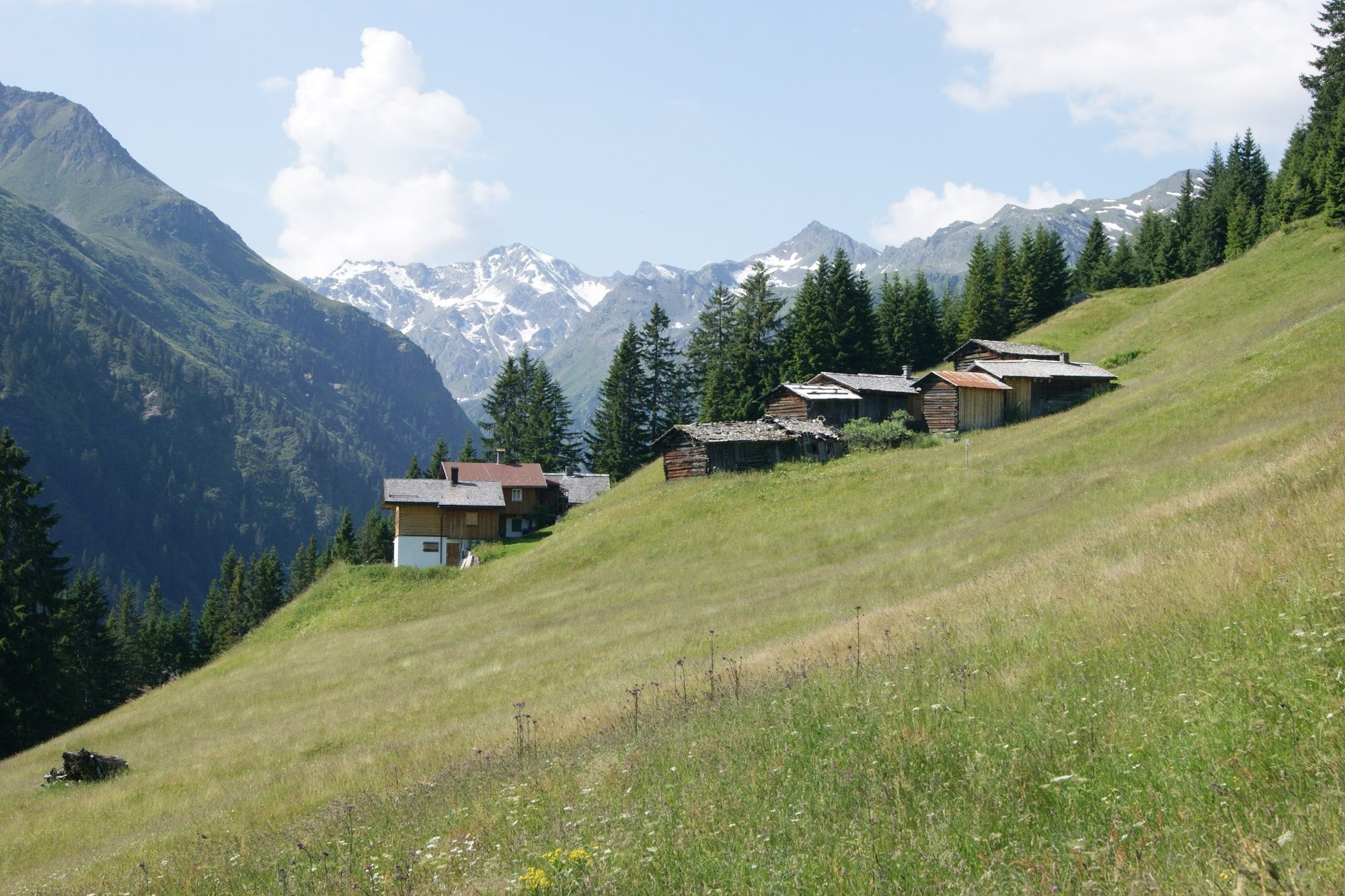
Vier Barga1.3 km
- Best season
-
JanFebMarAprMayJunJulAugSepOctNovDec
- Highest point
- 2,027 m
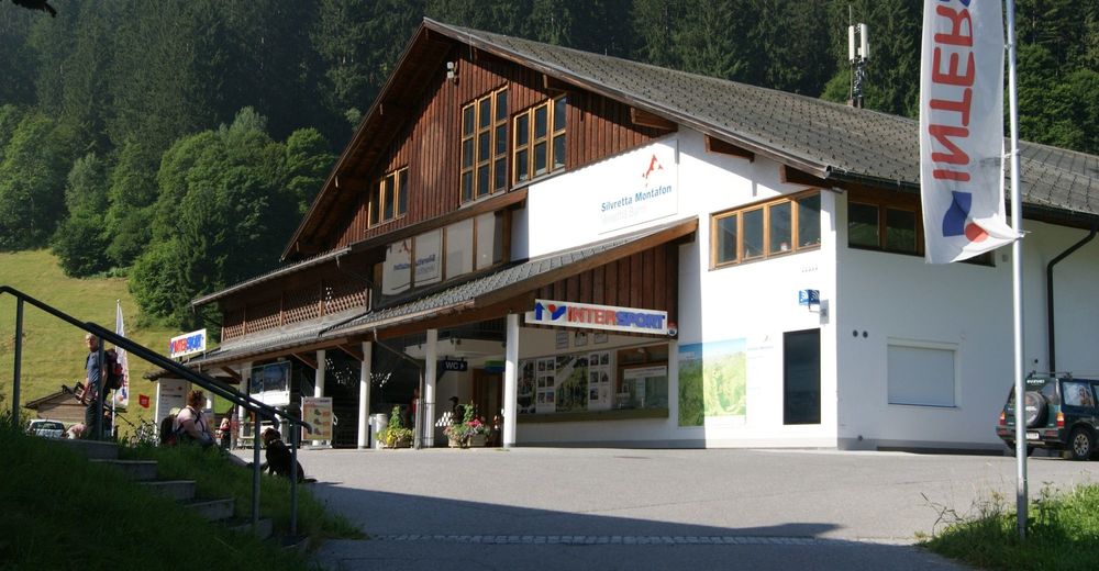
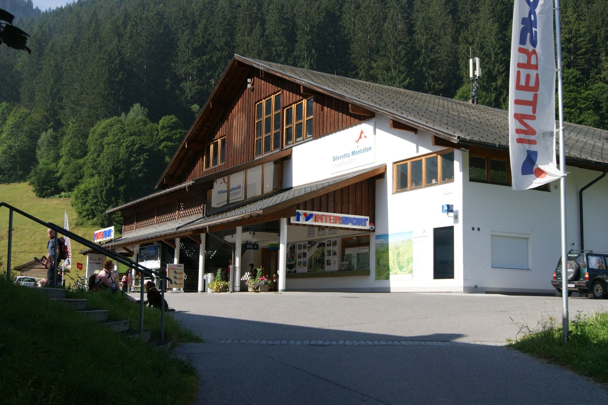
- Endpoint
-
Mittelstation Versettla Bahn
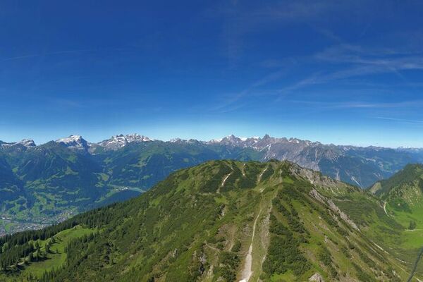
- Height profile
-

-

-
AuthorThe tour Törliweg is used by outdooractive.com provided.
GPS Downloads

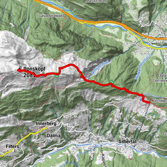
Other tours in the regions
-
Montafon
1382
-
Silvretta Montafon Bergbahnen
454