Lingenau | Between the village square and the swimming pool: wellness in Lingenau

Hiking

© Bregenzerwald Tourismus - Elisabeth Schneider

© Lingenau Tourismus - Tanja Schörkl

- Brief description
-
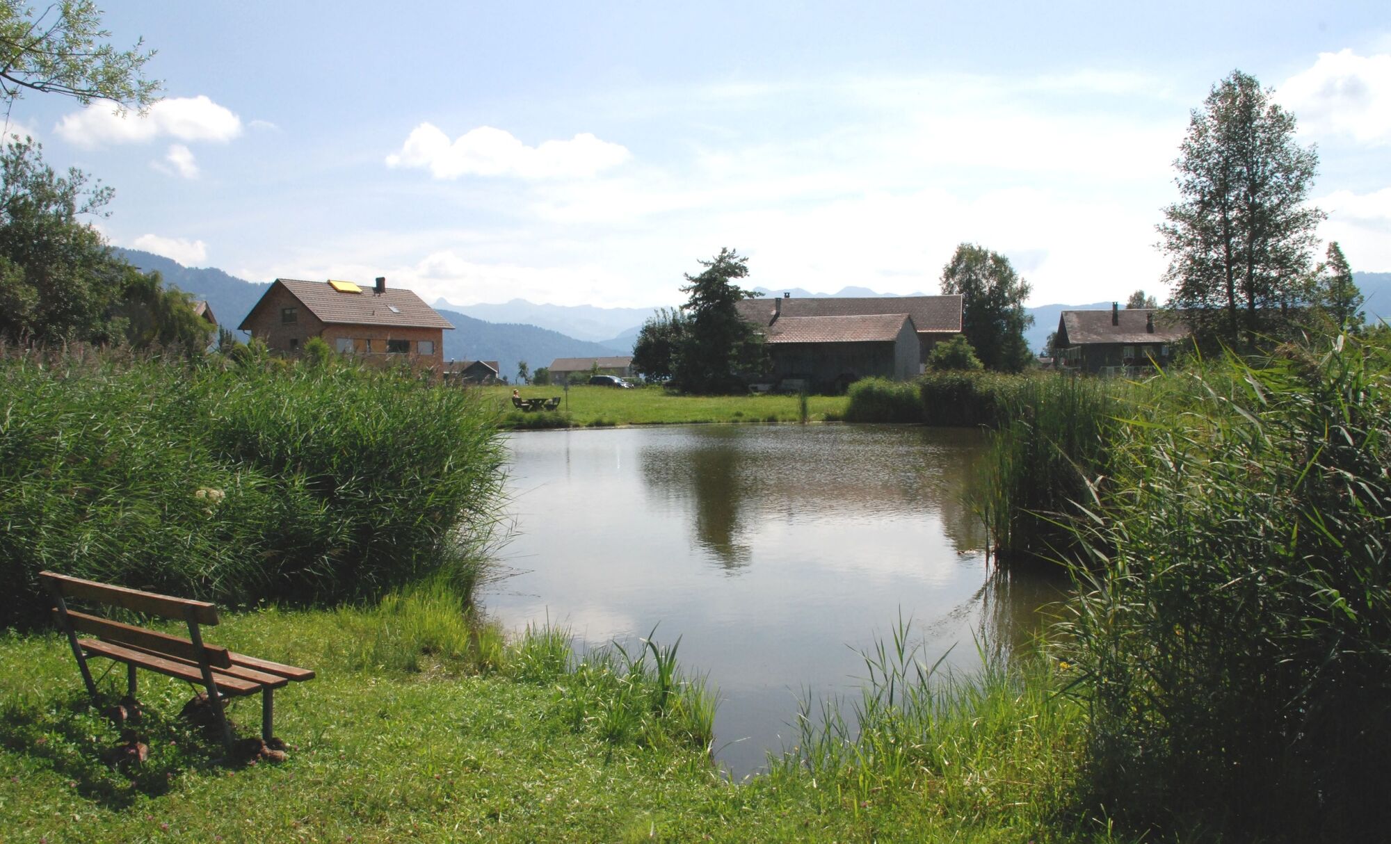
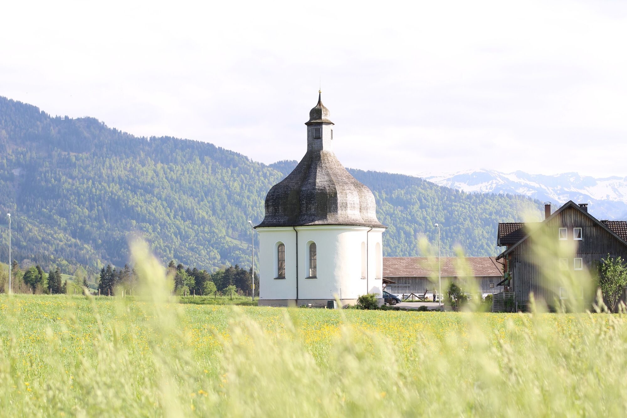
Lingenau village square (685 m) - Gschwend - St. Annakapelle (669 m) - Vitalhotel Quellengarten - Dörnlesee - village square; signposted as a yellow-white rambling path
- Difficulty
-
easy
- Rating
-
- Starting point
-
Lingenau village square
- Route
-
Pfarrkirche Johannes der Täufer0.0 kmKapelle Heilige Anna auf dem Felde1.5 kmSt. Anna1.5 kmRain2.0 kmLingenau3.0 km
- Best season
-
JanFebMarAprMayJunJulAugSepOctNovDec
- Description
-
Lingenau is located in the gently undulating countryside of the Vorderwald. The hospitable village has won the Vorarlberg Horticultural Competition several times, and has received awards for being a community whose buildings are suitable for the disabled. Lingenau is also well-known for its barrier-free swimming pool with adjacent hotel. It also offers various wellness treatments: from massages through to physiotheraphy.
- Directions
-
Condition of the path: pavements and roads with little difference in height, all tarmacked
- Highest point
- 681 m
- Endpoint
-
Lingenau village square
- Height profile
-

- Tips
-
Barrier-free refreshments & WC: Hotel Löwen, Gasthaus Traube, Vitalhotel Quellengarten
Swimming pool: Vitalhotel Quellengarten, Lingenau - Directions
-
from Germany: Motorway Lindau - Pfänder Tunnel - Motorway exit Dornbirn Nord (toll sticker required) - Bregenzerwald - Alberschwende - Lingenau;
from Switzerland: Motorway St. Gallen - St. Margrethen/Au - Lustenau - Dornbirn - Bregenzerwald - Alberschwende - Lingenau - Public transportation
- Parking
-
Lingenau village square
-

-
AuthorThe tour Lingenau | Between the village square and the swimming pool: wellness in Lingenau is used by outdooractive.com provided.
GPS Downloads


General info
Refreshment stop
Other tours in the regions
-
Allgäu
2357
-
Bregenzerwald
2297
-
Lingenau
731


