
- Difficulty
-
easy
- Rating
-
- Route
-
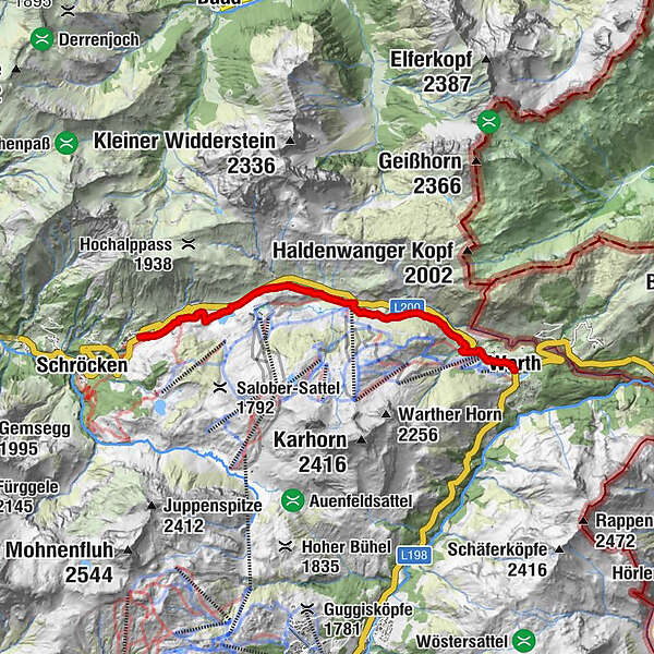
NessleggWittelealp0.8 kmHochkrumbach3.5 kmSennkuchl3.8 kmJägeralpe3.8 kmHolzbodenalpe4.5 kmWolfegg6.0 kmPfarrkirche St. Sebastian7.0 kmWarth (1,495 m)7.2 km
- Best season
-
JanFebMarAprMayJunJulAugSepOctNovDec
- Highest point
- 1,681 m
- Height profile
-

- Author
-
The tour 05 Schröcken - Hochkrumbach - Warth is used by outdooractive.com provided.
GPS Downloads


General info
Refreshment stop
A lot of view
Other tours in the regions


