


- Brief description
-
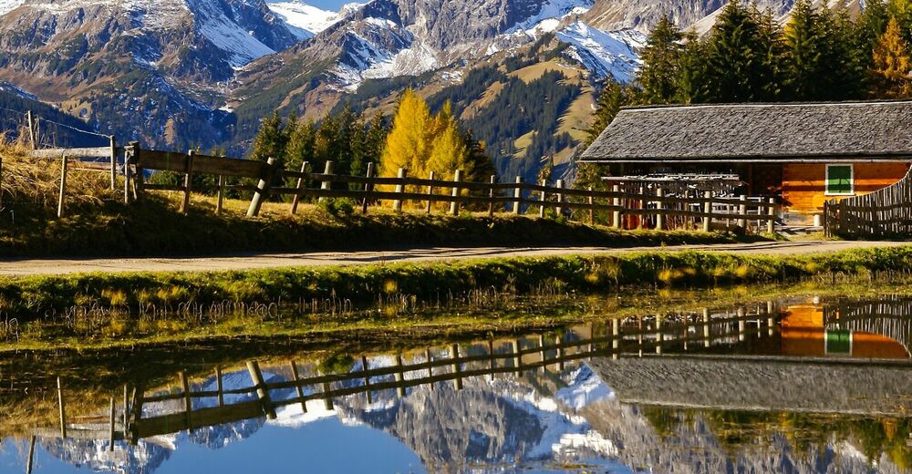
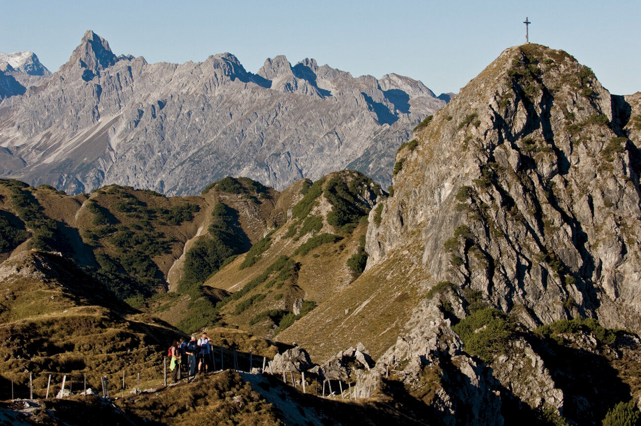
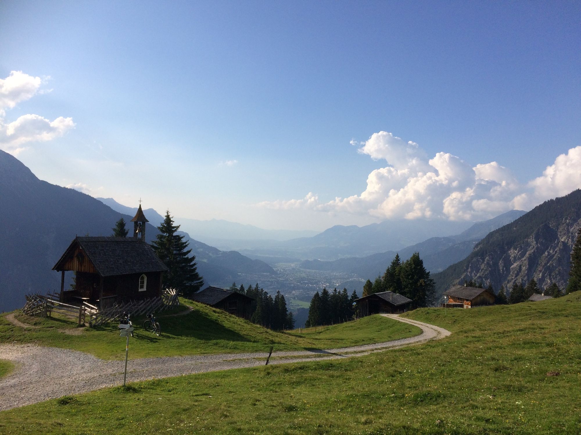
Diese Montafoner Bergumrundung, Rund um den Itonskopf, lässt sich mit folgenden drei Worten wahrscheinlich am besten beschreiben. Aussichtsreich, historisch und malerisch.
- Difficulty
-
medium
- Rating
-
- Route
-
BartholomäbergPfarrkirche BartholomäbergGasthof Rellseck2.8 kmAlplegi (1,802 m)5.6 kmAlpe Latons7.0 kmGarsella14.5 kmPfarrkirche Bartholomäberg17.3 kmBartholomäberg17.3 km
- Best season
-
JanFebMarAprMayJunJulAugSepOctNovDec
- Highest point
- 1,798 m
- Endpoint
-
Kirche Bartholomäberg
- Height profile
-


-

-
AuthorThe tour Rund um den Itonskopf is used by outdooractive.com provided.
GPS Downloads


General info
Refreshment stop
Cultural/Historical
A lot of view
Other tours in the regions
-
Montafon
1380
-
Bartholomäberg
532


