

© Montafon Tourismus GmbH - Daniel Zangerl - Julia Mangeng
© Christoph Schöch
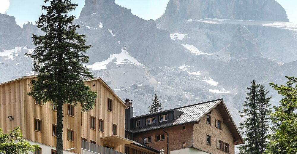
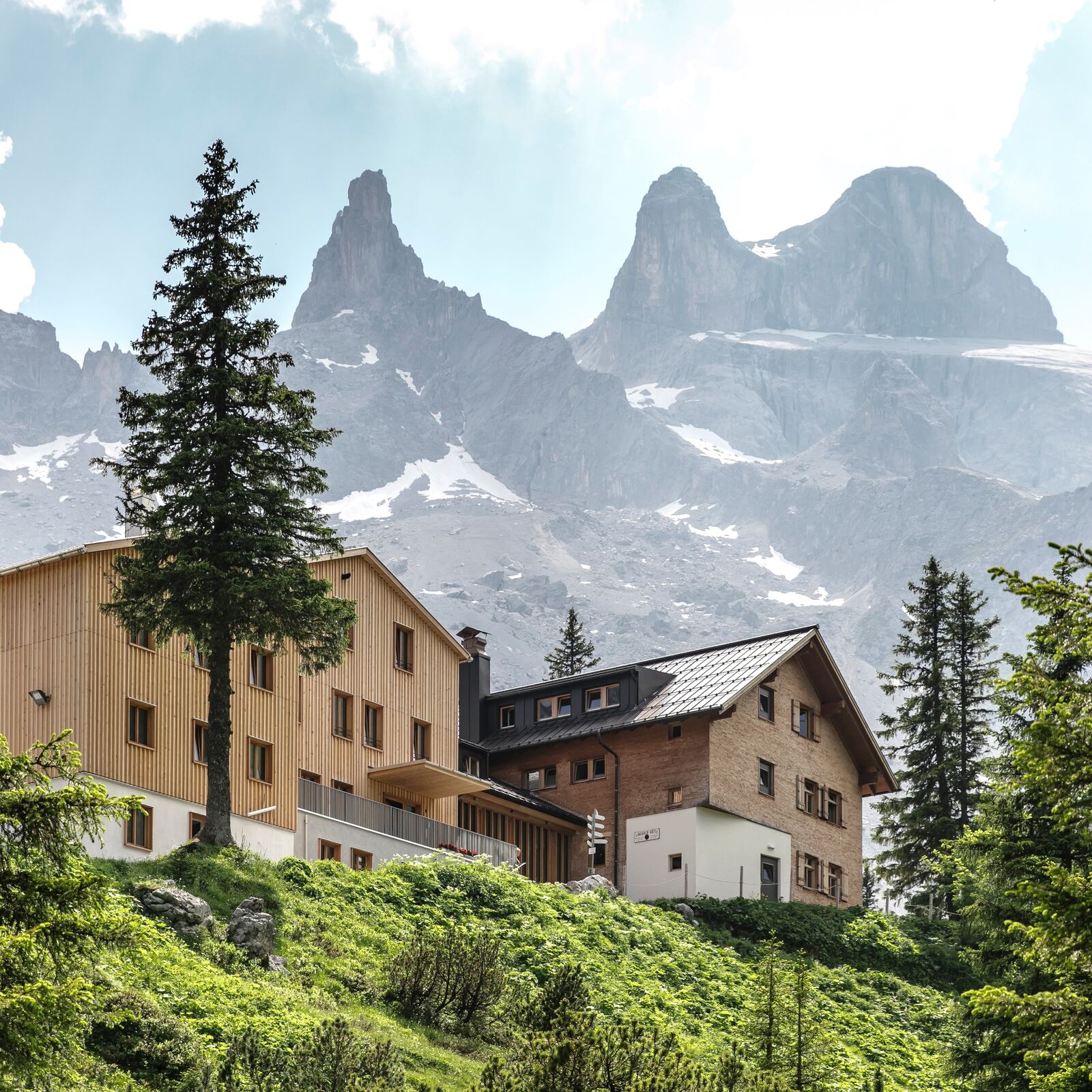
© Lindauer Hütte (c) Christoph Schöch - Christoph Schöch Photography GmbH

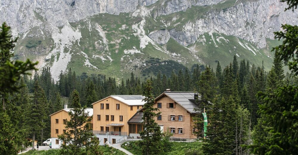
© Lindauer Hütte - Christoph Schöch

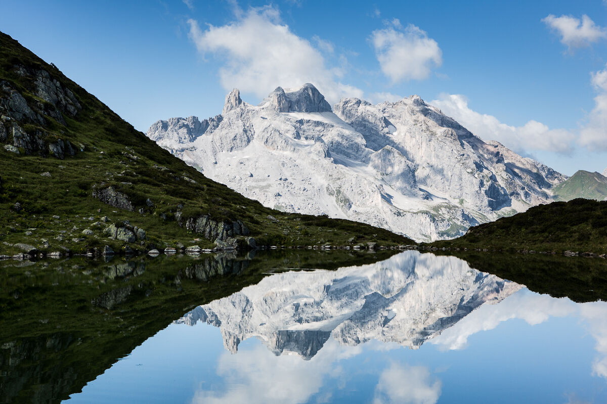
© Montafon Tourismus GmbH_Roland Fritsch - Christina Wachter
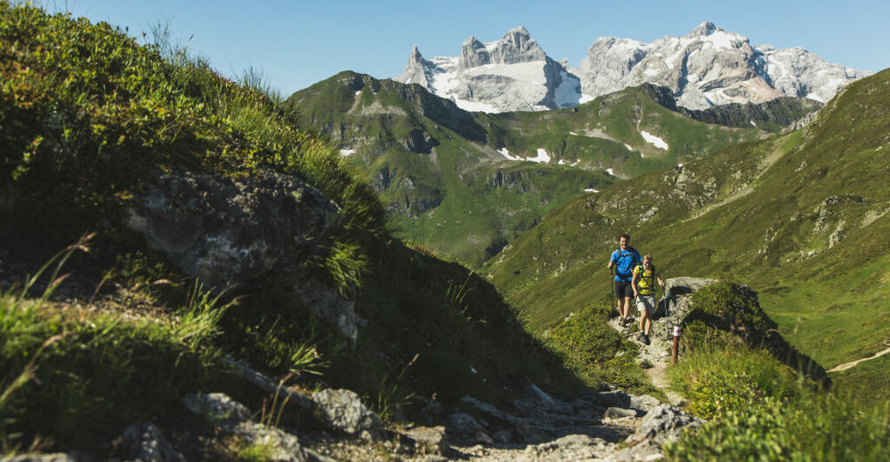
© Montafon Tourismus GmbH - Christoph Schöch - Elisa Schöllhorn

© Community - Julia Mangeng


- Brief description
-
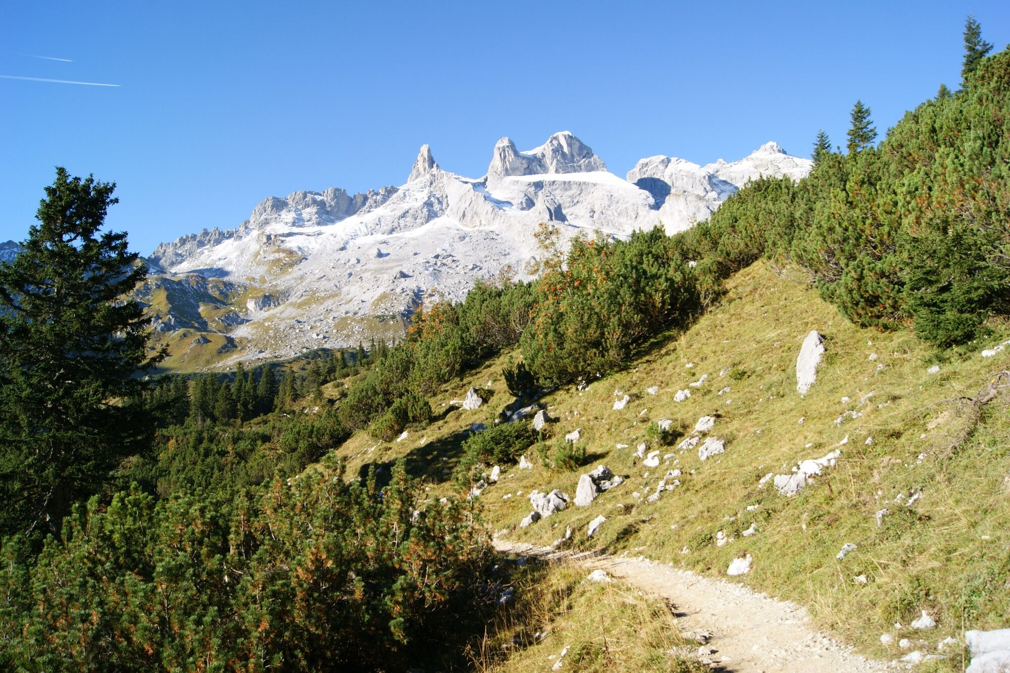
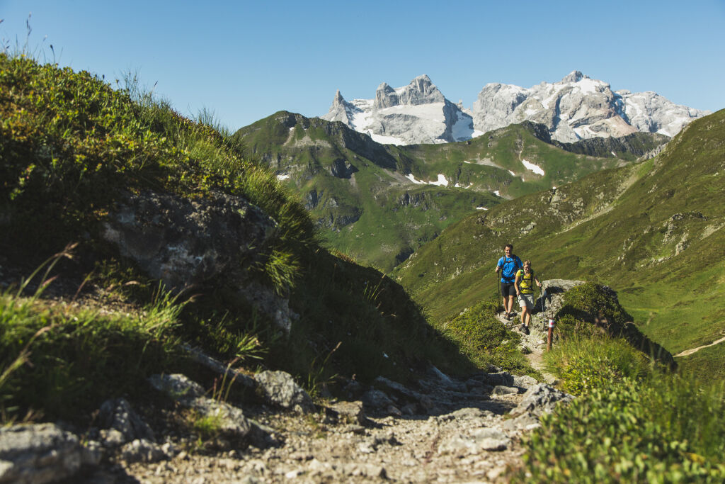
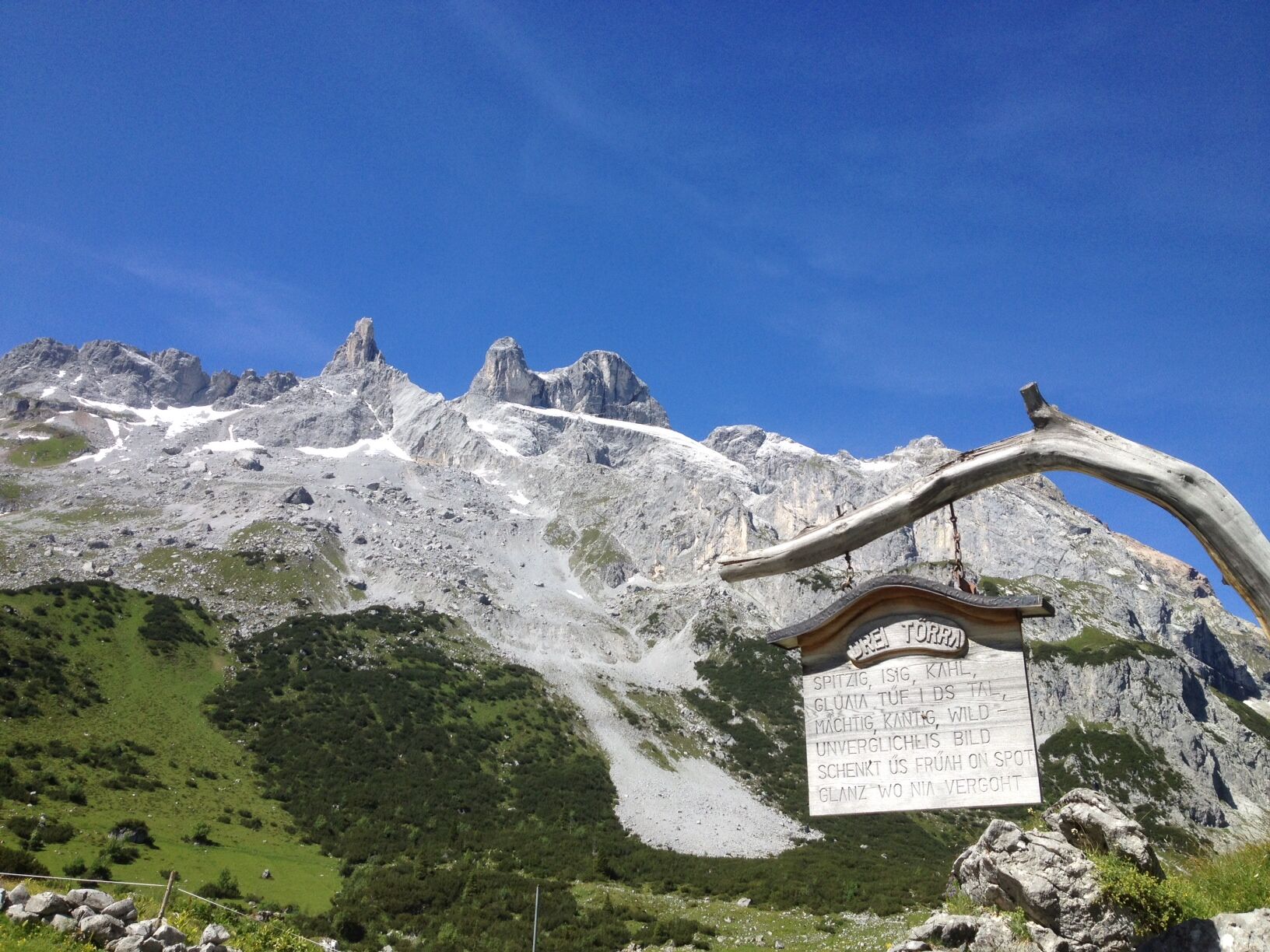
Golmerbahn Latschau - Gauertal - Lindauer Hütte - Richtung Drusentor - Naturdenkmal "Botha-Loch" - Mittlerer Turm - Drei Türme - gleichen Weg retour
Alternativ:
Bergstation Golmerbahn - Latschätzalpe - Lindauer Hütte - Richtung Drusentor - Naturdenkmal "Botha-Loch" - Mittlerer Turm - Drei Türme - gleichen Weg retour (bis Lindauer Hütte ) - Gauertal - Latschau
Daten:
- 6 Std.
- 18,4 km
- aufsteigende Höhenmeter: 1.183
- absteigende Höhenmeter: 2.076
- Difficulty
-
difficult
- Rating
-
- Route
-
Holzschopf Latschau0.0 kmMontabella0.8 kmGauenhütte2.3 kmUntere Latschätzalpe3.9 kmUntere Sporaalpe4.9 kmLindauer Hütte6.2 kmBothaloch9.1 kmMittlerer Turm (2,782 m)9.4 kmGroßer Turm (2,830 m)9.9 kmLindauer Hütte13.5 kmUntere Sporaalpe14.9 kmUntere Latschätzalpe15.8 kmGauenhütte17.3 kmMontabella18.9 kmHolzschopf Latschau19.7 km
- Best season
-
JanFebMarAprMayJunJulAugSepOctNovDec
- Highest point
- 2,779 m
- Endpoint
-
Golmerbahn Latschau
- Height profile
-


-

-
AuthorThe tour Das Wahrzeichen des Montafon - die Drei Türme is used by outdooractive.com provided.
GPS Downloads


General info
Refreshment stop
Insider tip
A lot of view
Other tours in the regions
-
Montafon
1382
-
Golm im Montafon
568


