
- Brief description
-
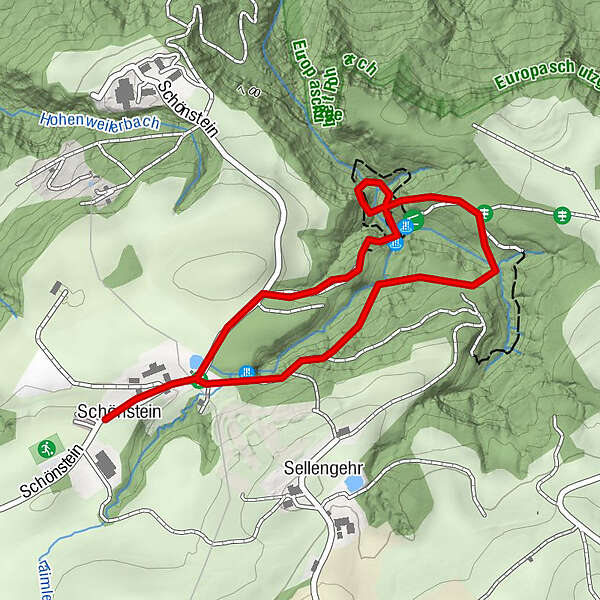
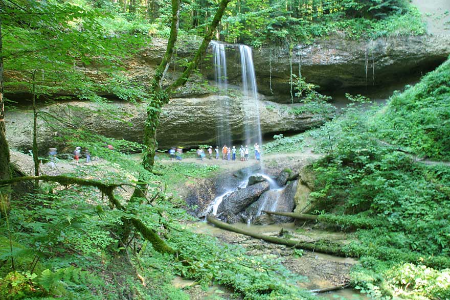
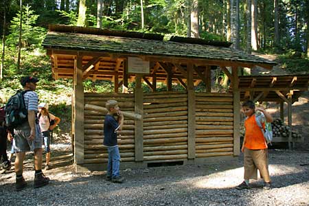
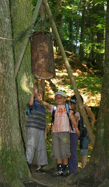
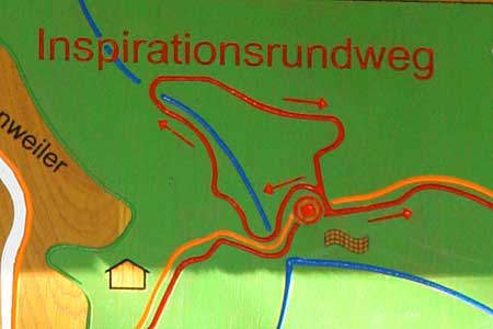
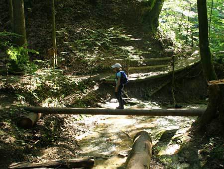
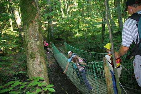
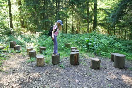
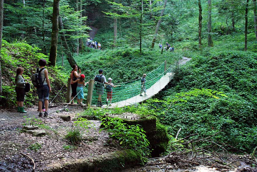
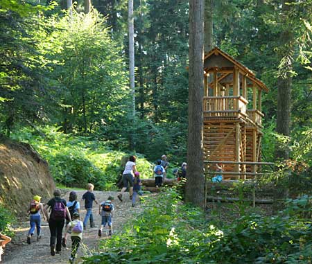
Walderlebnispfad mit Inspirationsrundweg - ab hier beginnt aus dem ruhigen Waldweg ein wirklicher Erlebnispfad zu werden.
- Route
-
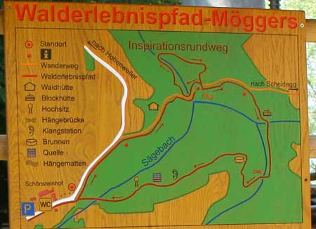
Schönstein0.0 kmQuelltuff1.8 km
- Highest point
- 763 m
- Endpoint
-
Wanderparkplatz
- Height profile
-


- Author
-
The tour Walderlebnispfad Möggers - Allgäuer Picknickplätze is used by outdooractive.com provided.
GPS Downloads


Other tours in the regions
-
Bodensee - Deutschland
1104
-
Westallgäu
1262
-
Möggers
342