
© www.guideservice.at - Erich Zucalli

© www.guideservice.at - Erich Zucalli
© www.guideservice.at - Erich Zucalli
© www.guideservice.at - Erich Zucalli
© www.guideservice.at - Erich Zucalli

© www.guideservice.at - Erich Zucalli
© www.guideservice.at - Erich Zucalli
© www.guideservice.at - Erich Zucalli
© www.guideservice.at - Erich Zucalli
© www.guideservice.at - Erich Zucalli


- Brief description
-
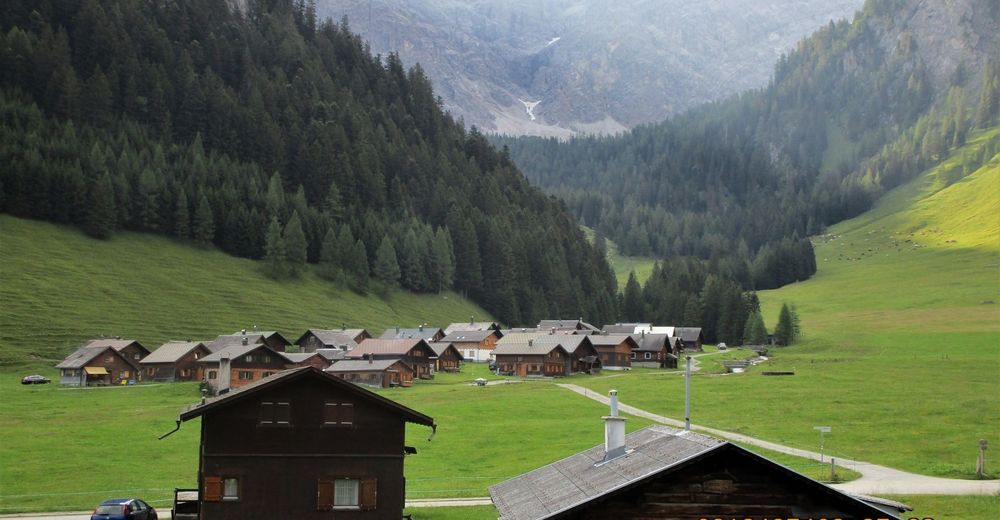
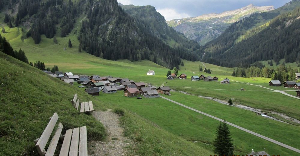
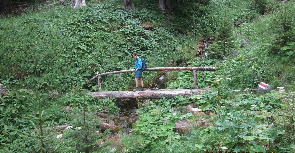
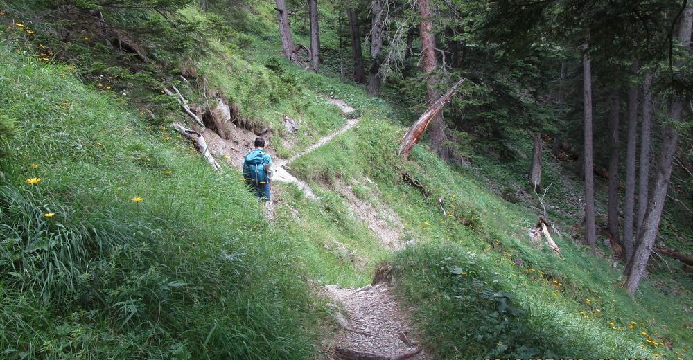
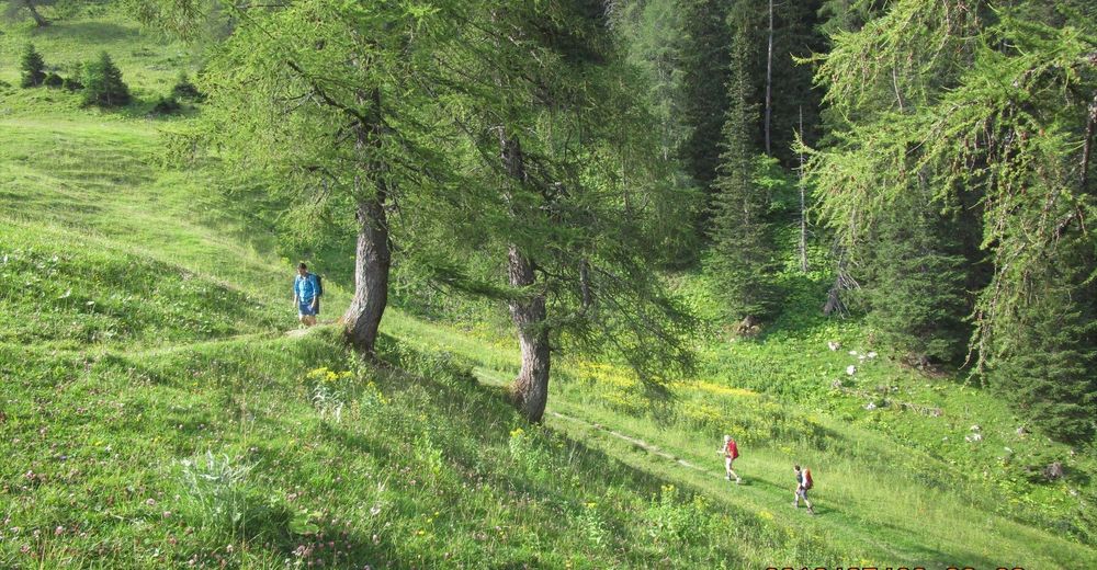
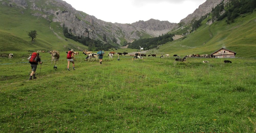
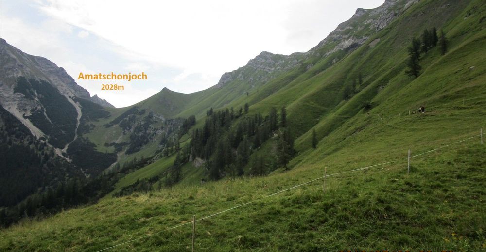
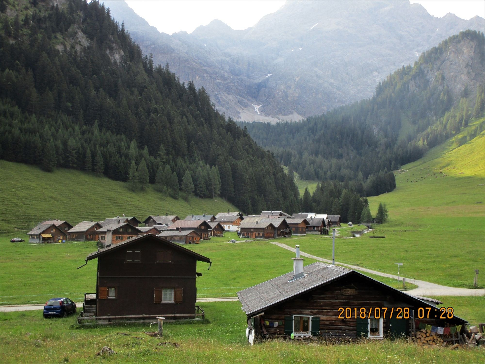
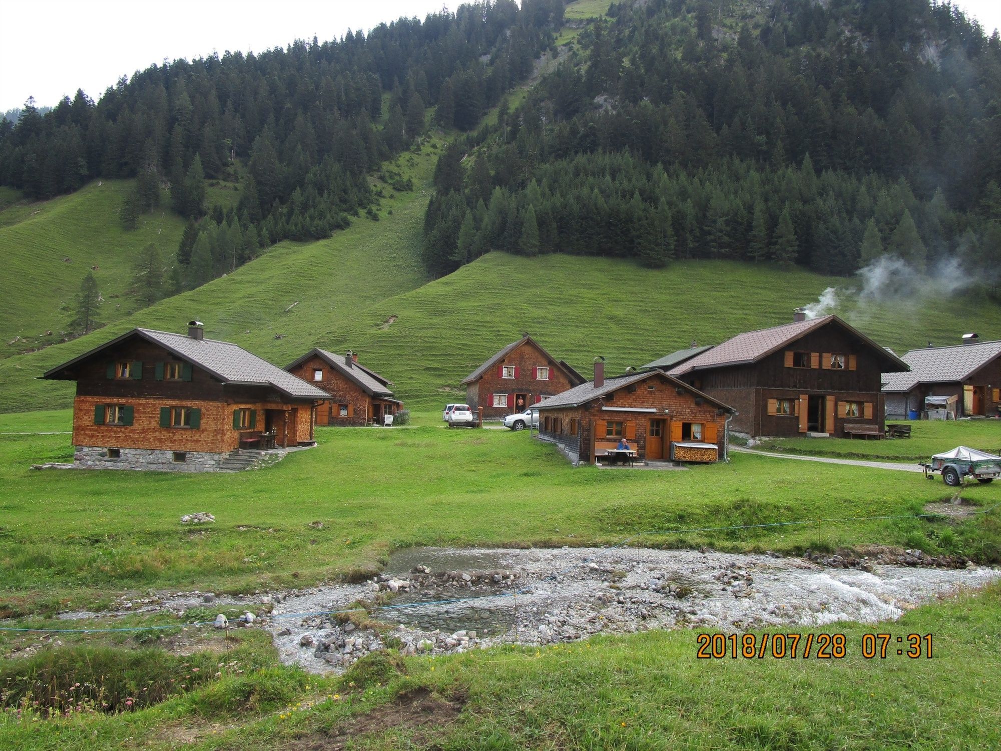
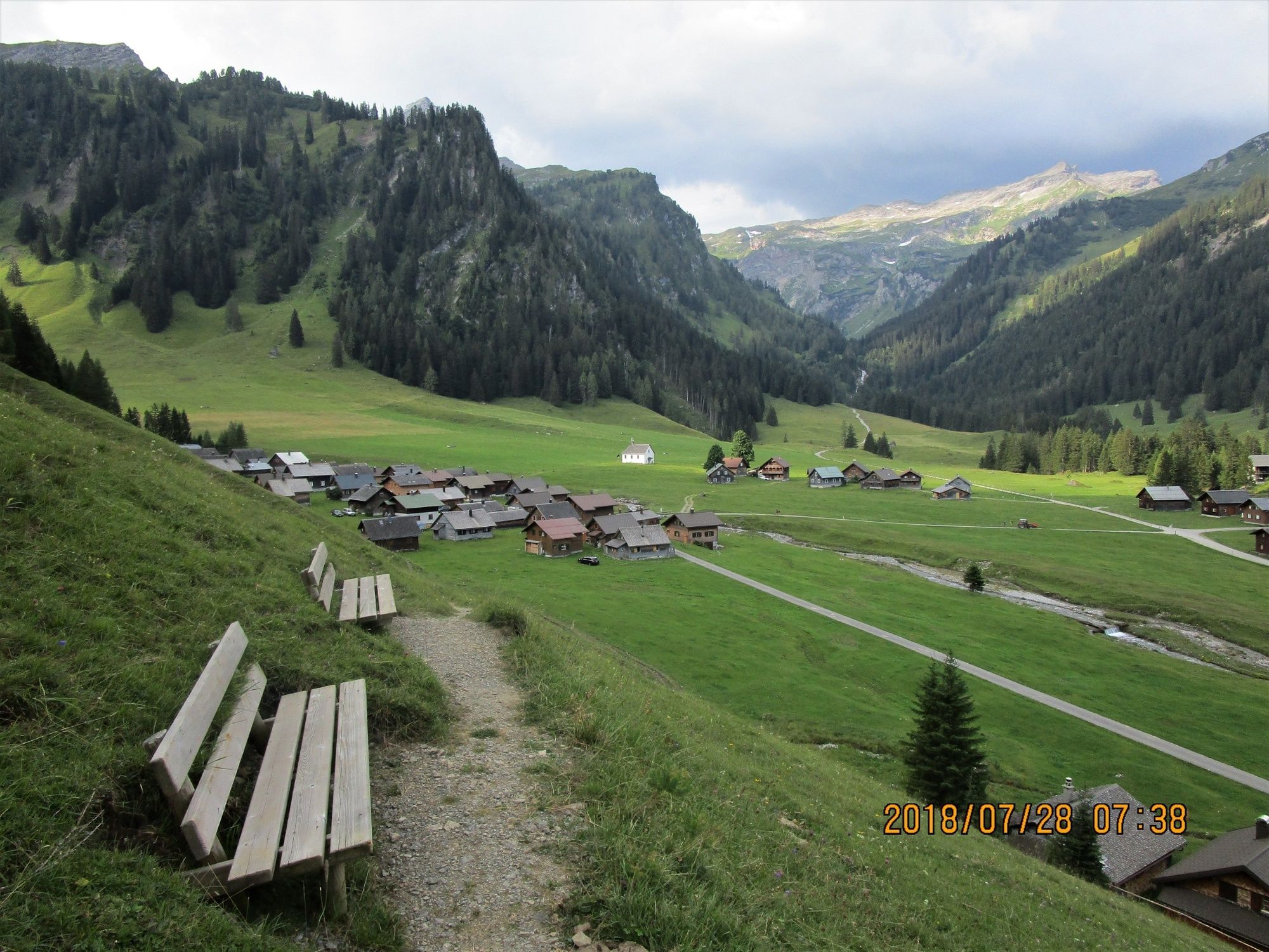
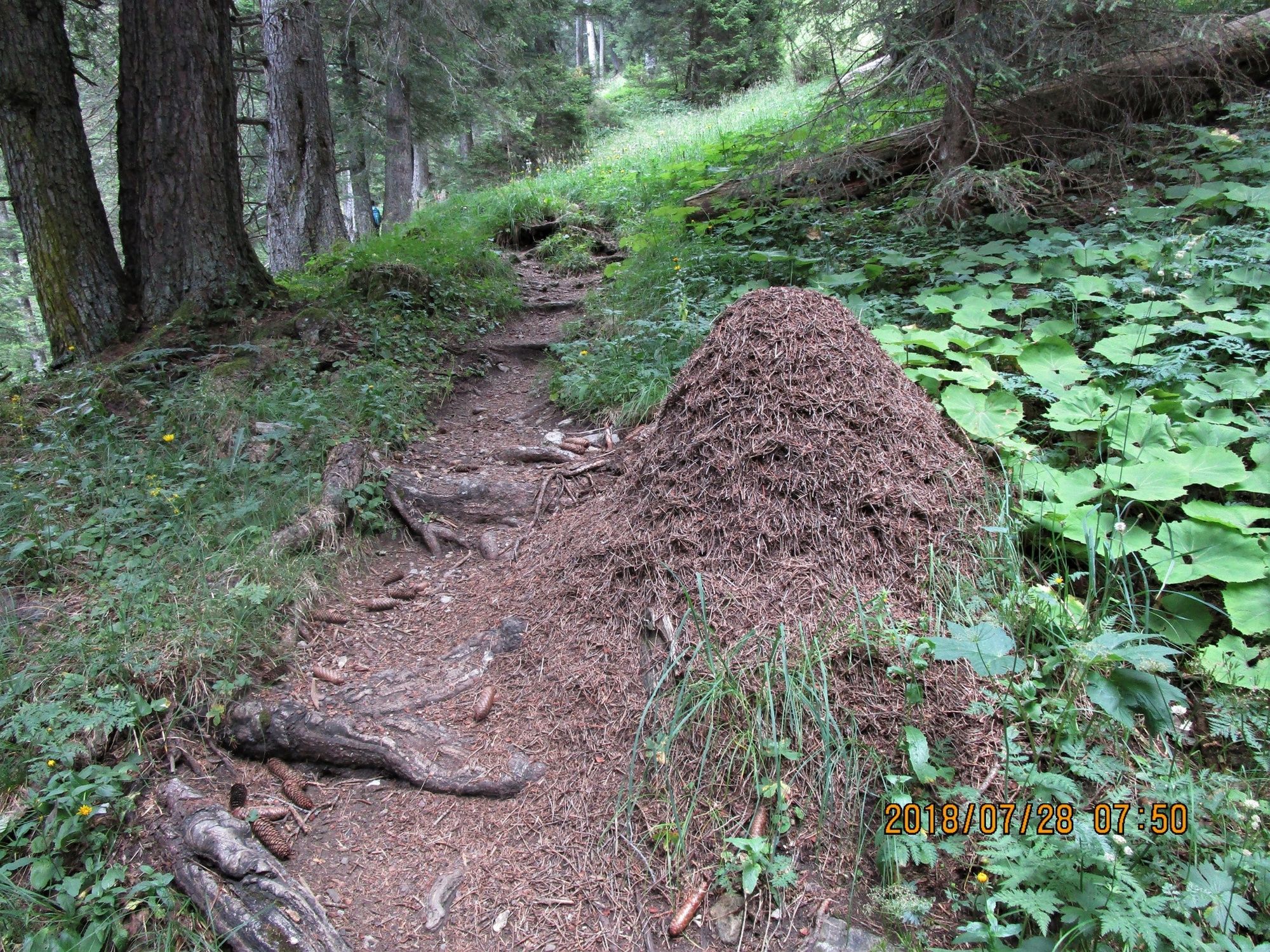
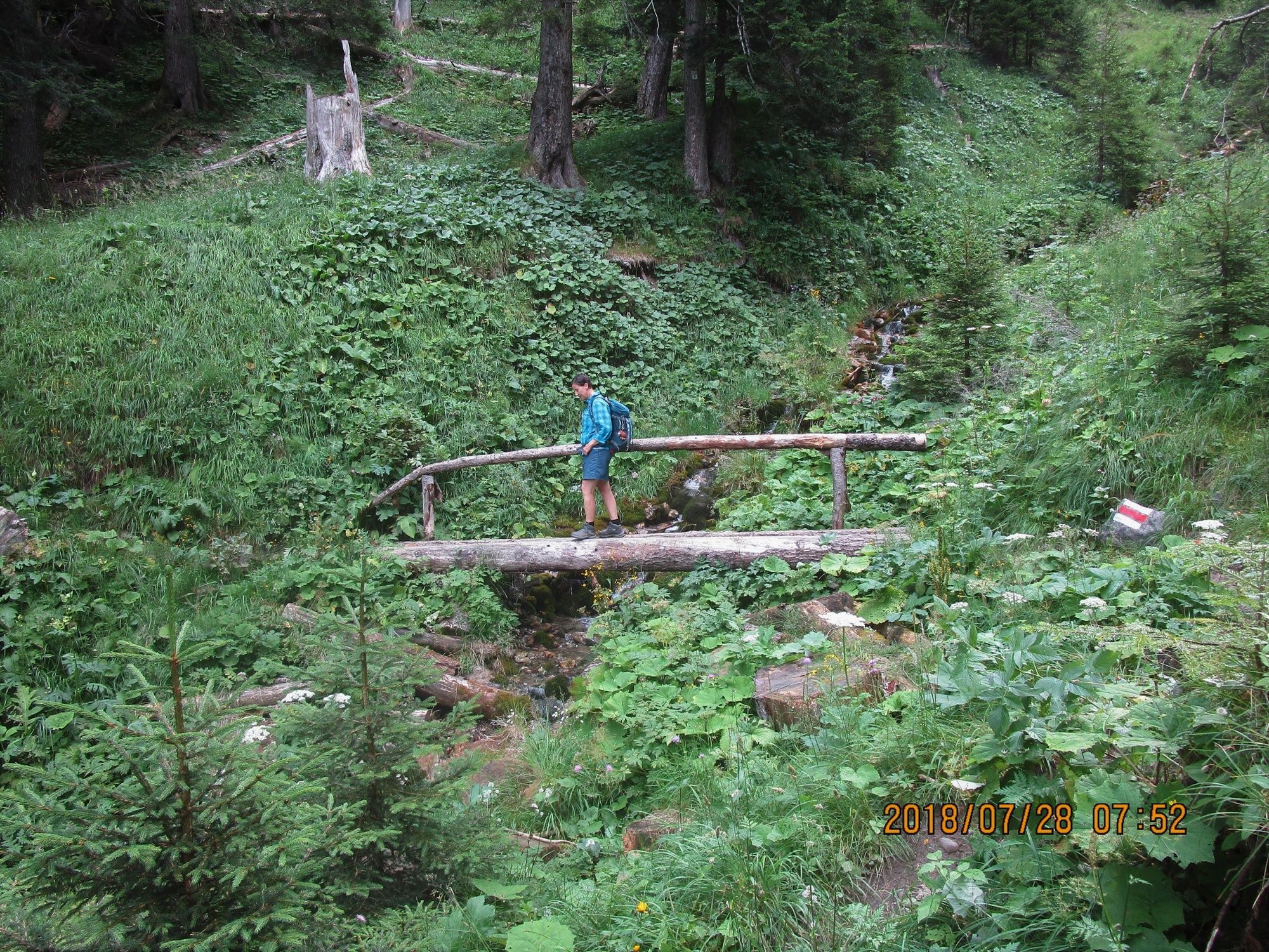
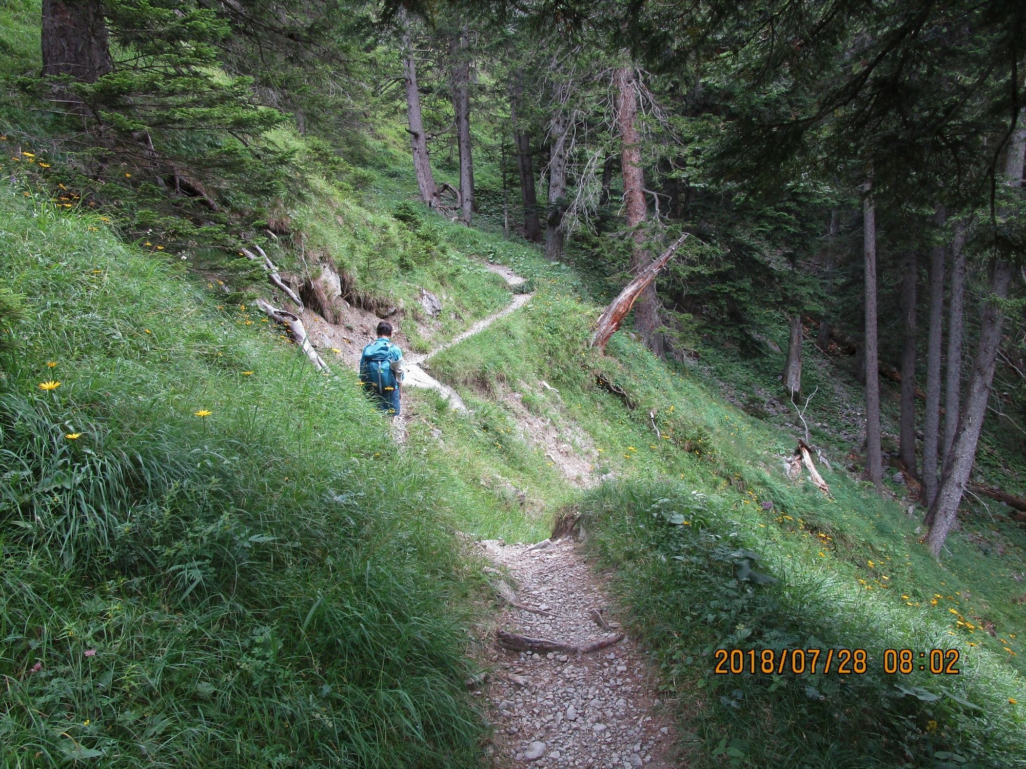
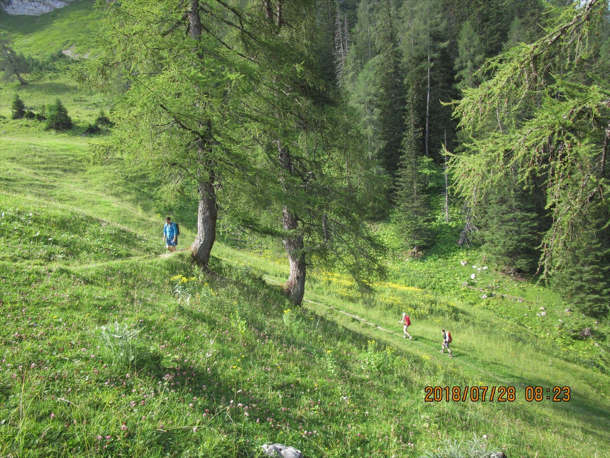
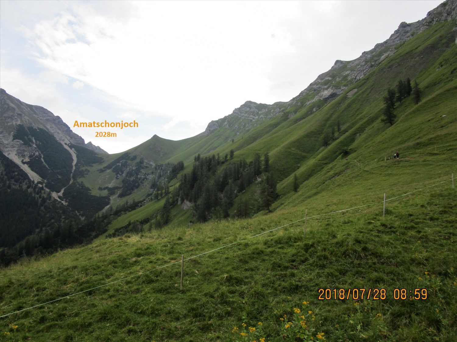
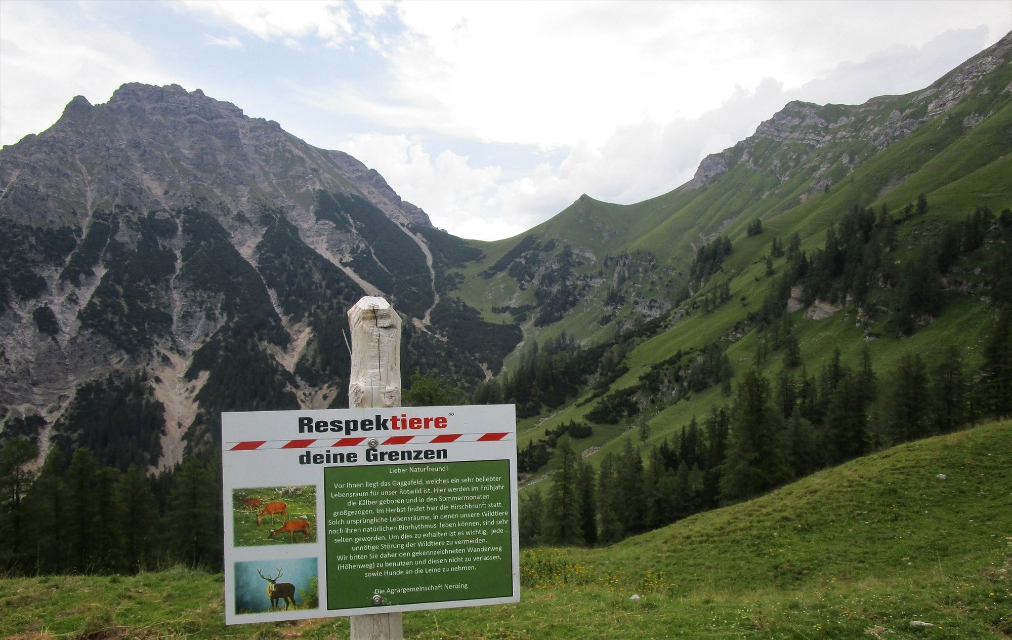
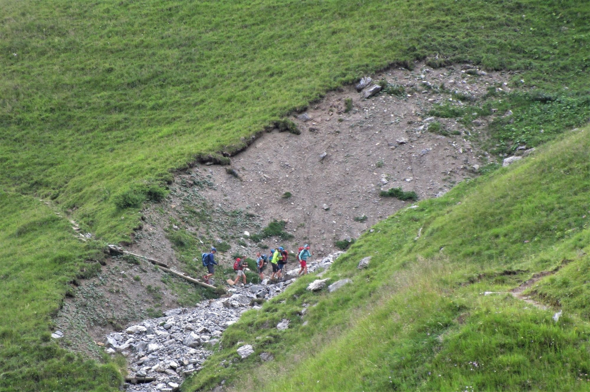
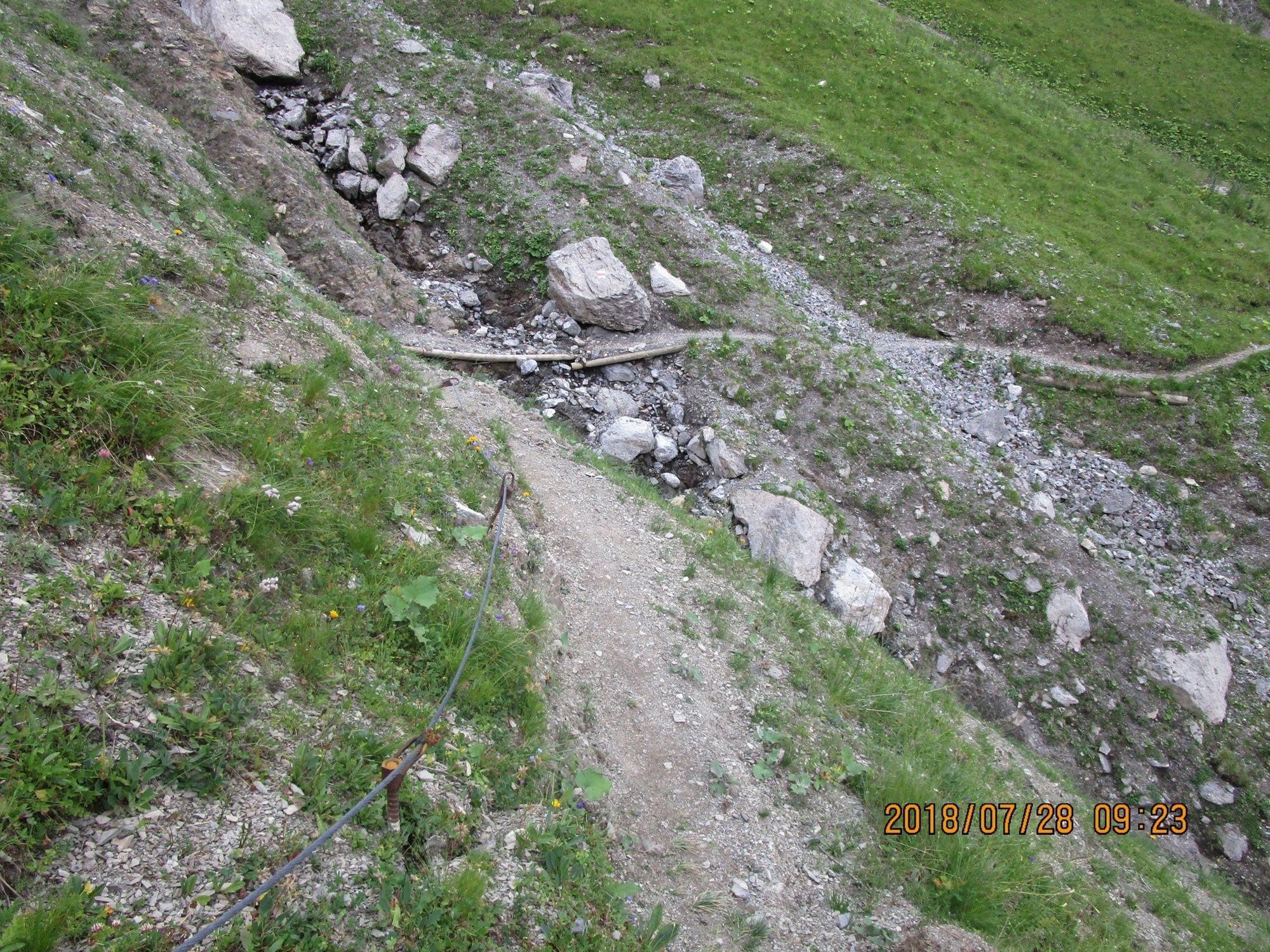
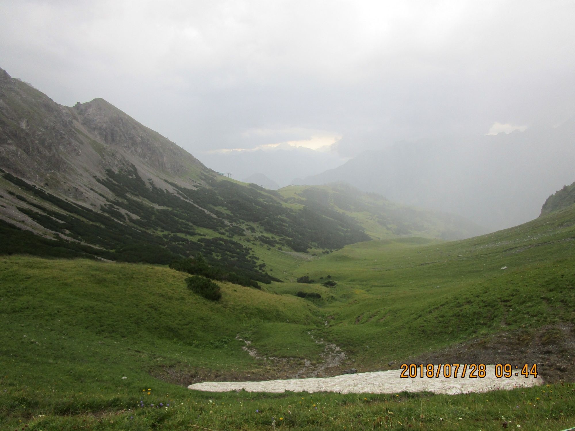
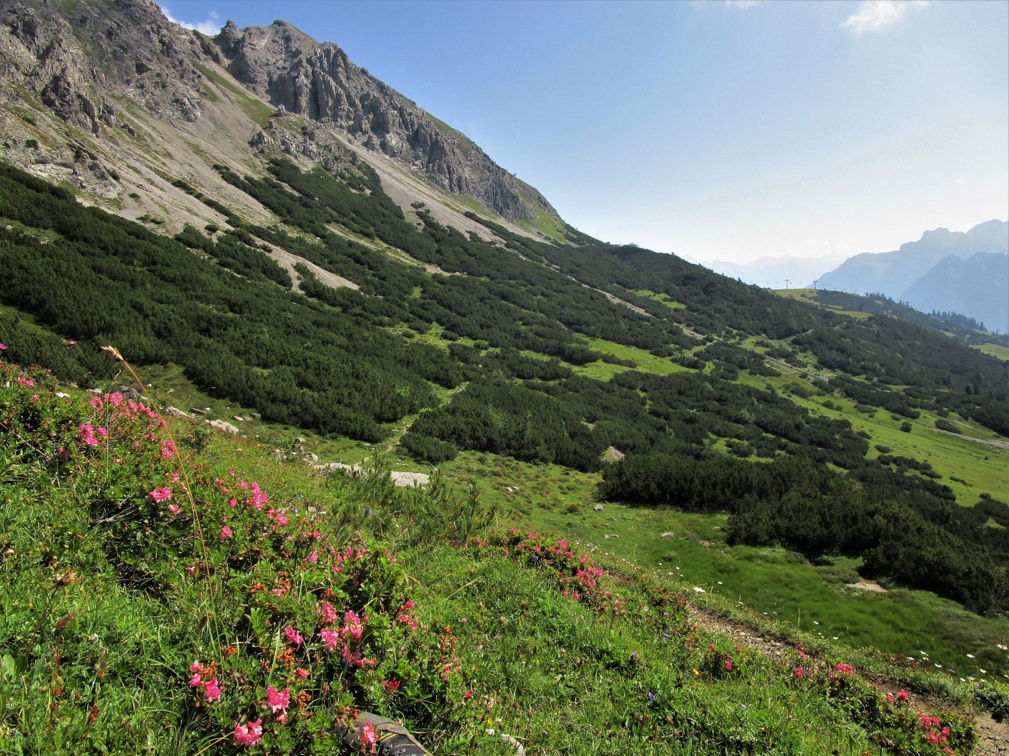
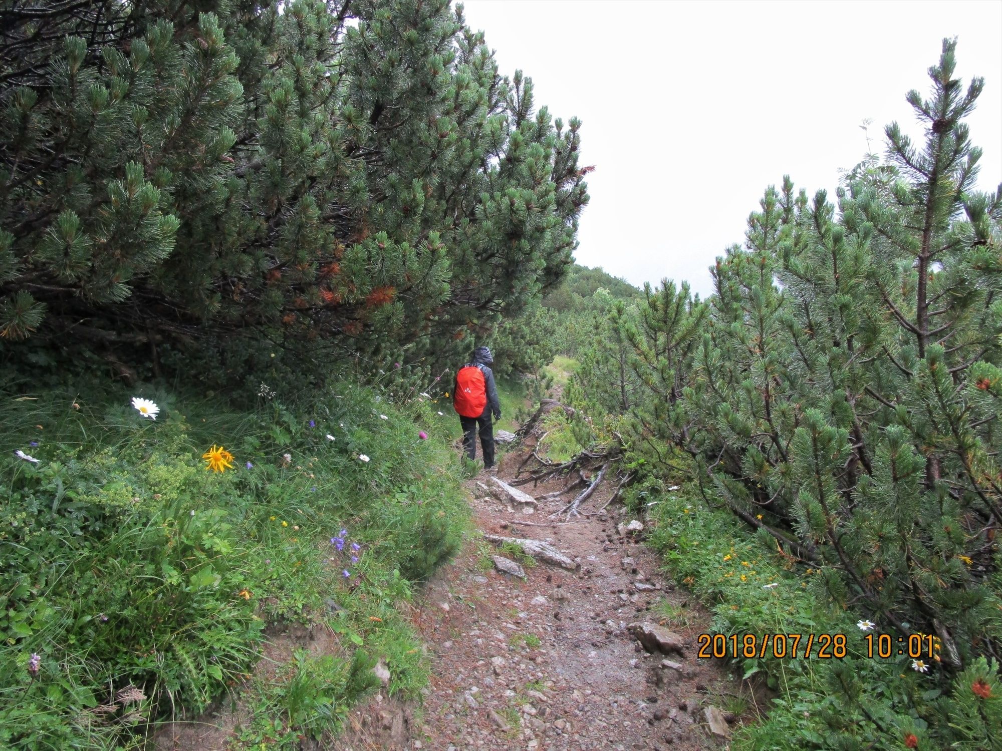
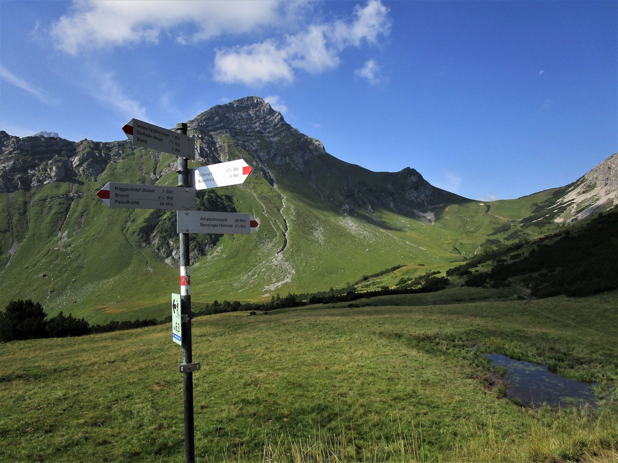
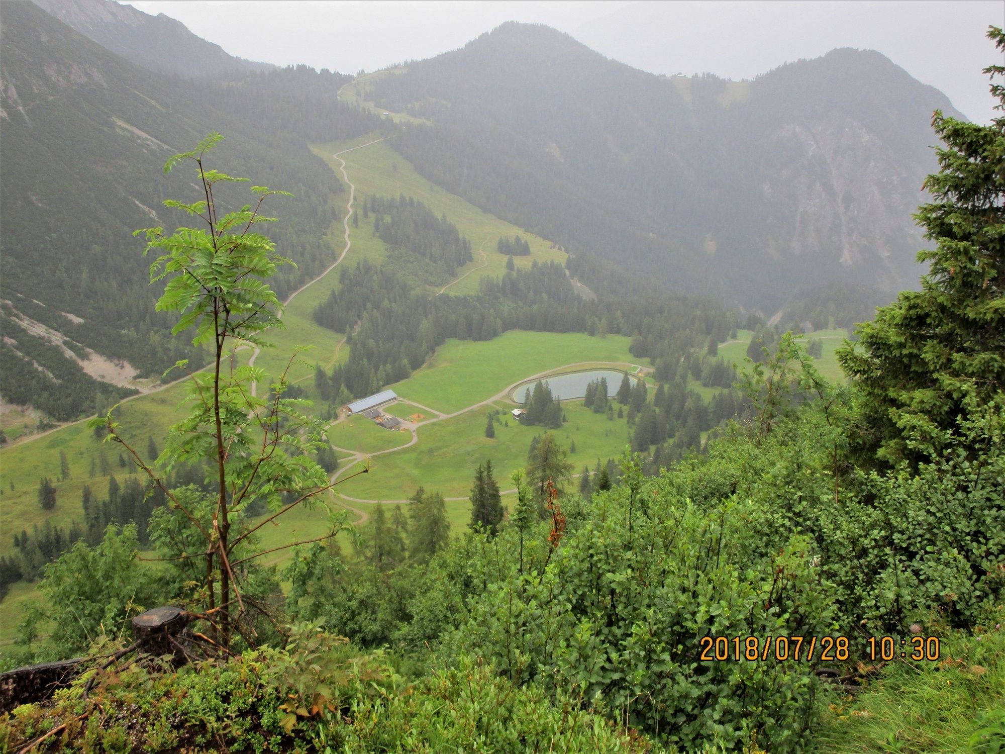
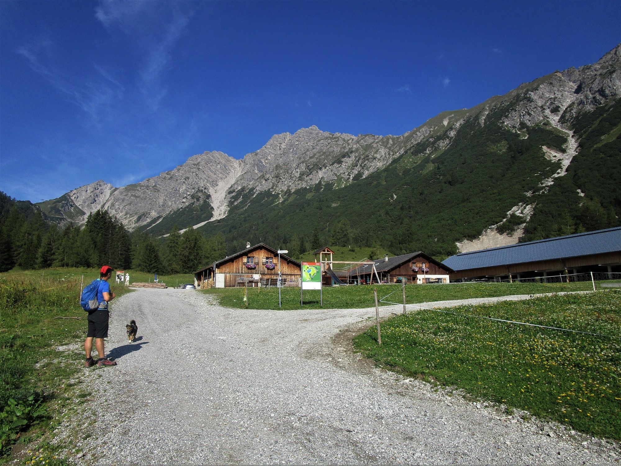
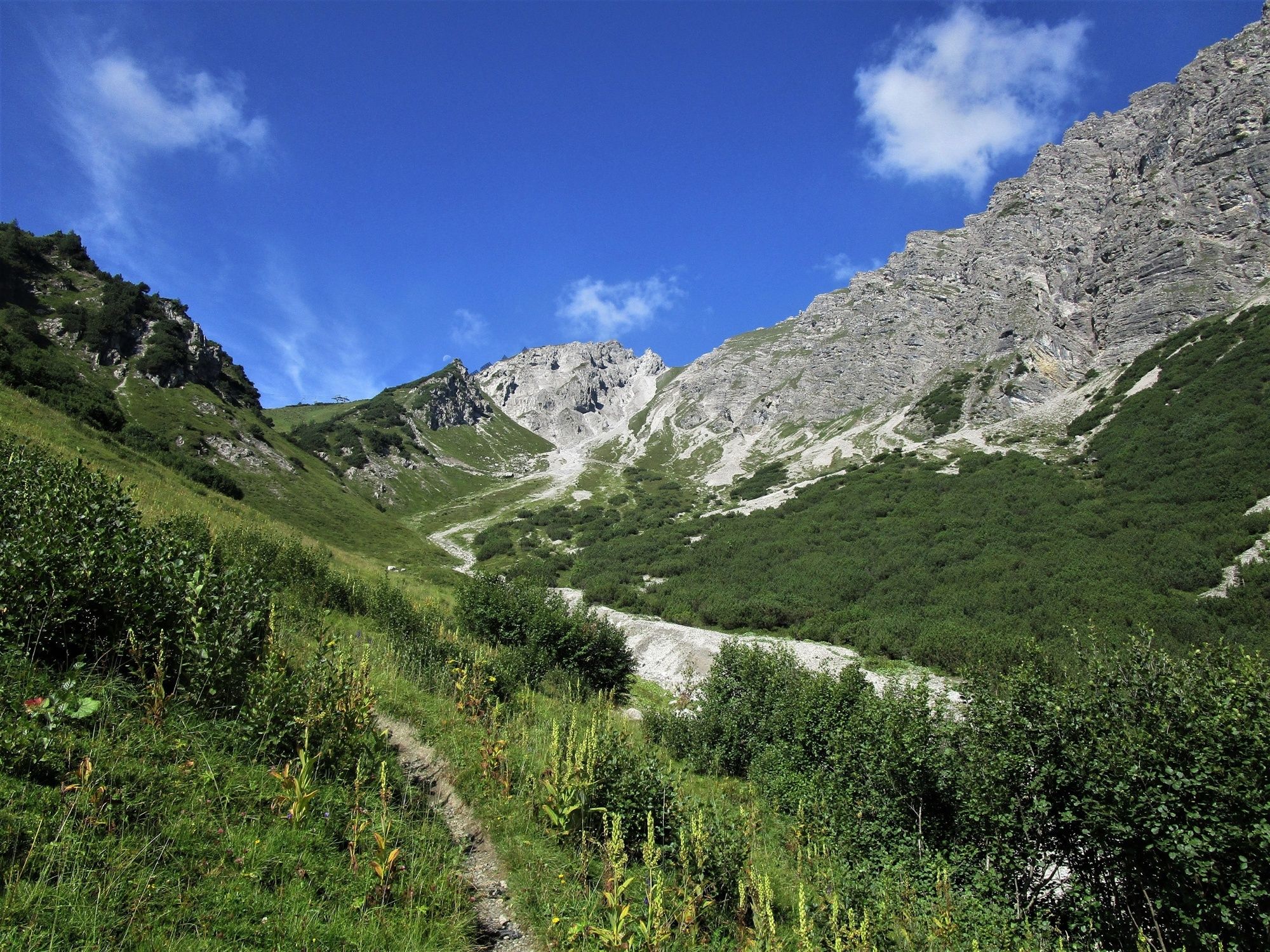
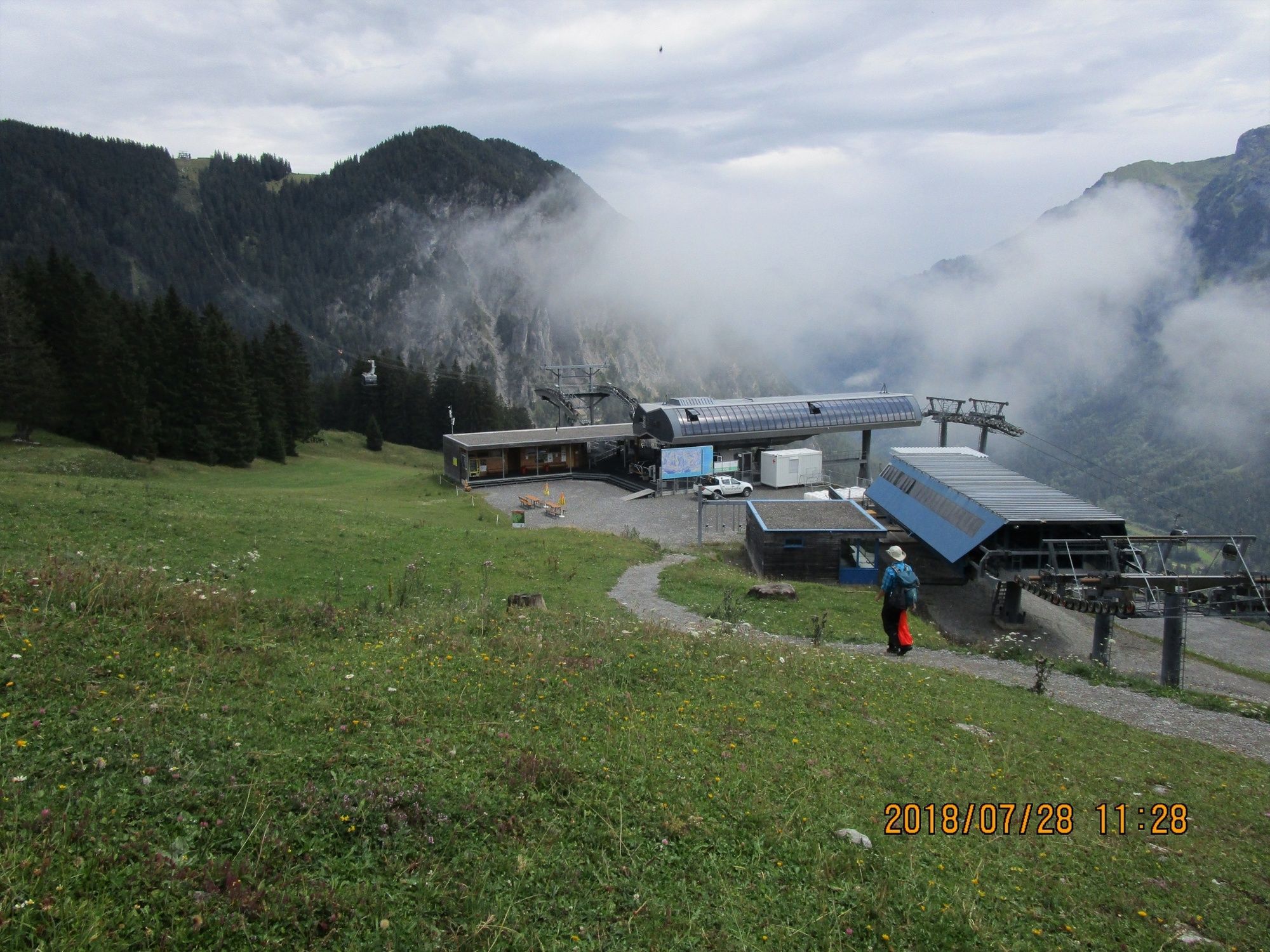
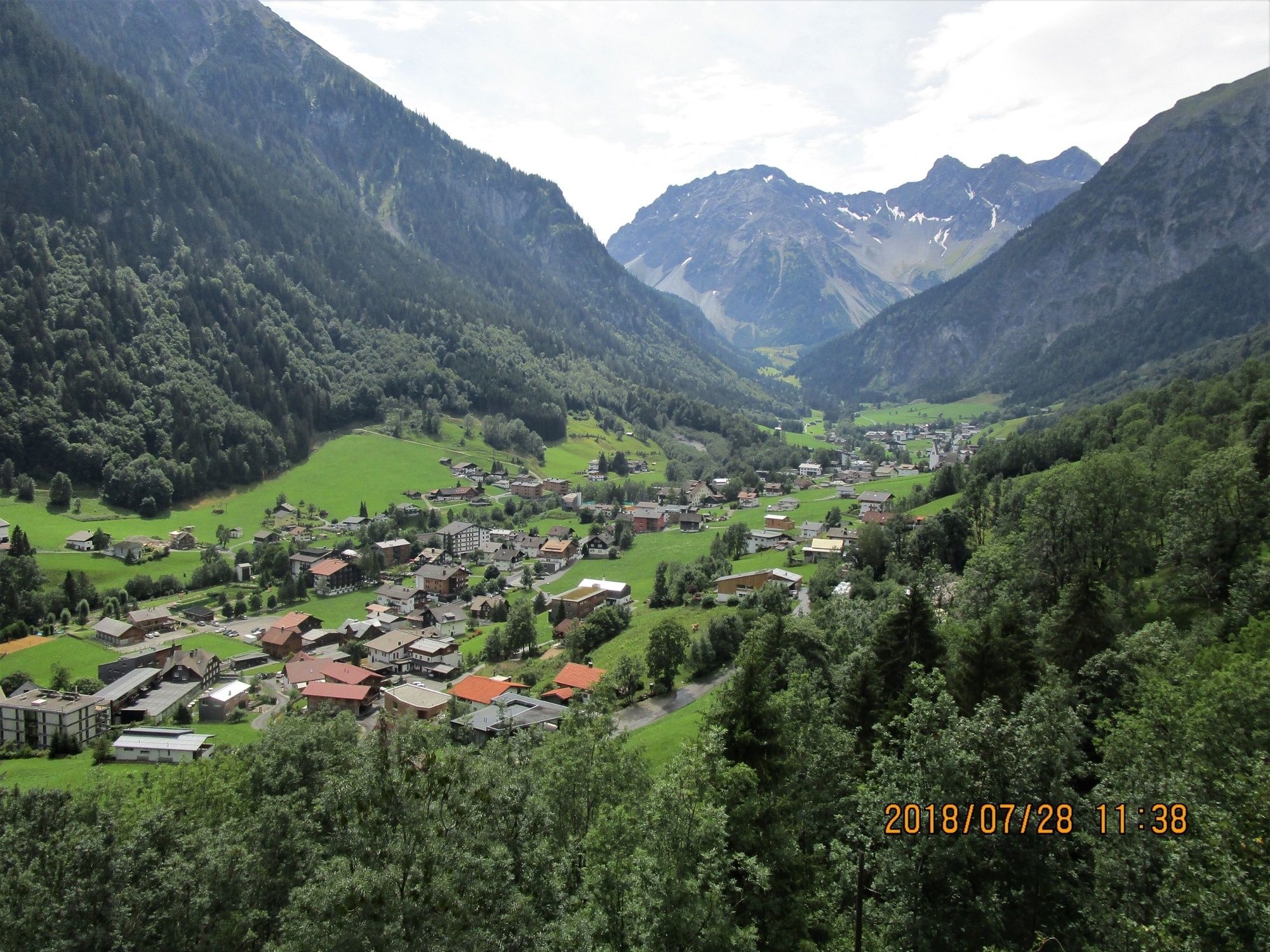
Bergtour vom Nenzinger Himmel im Gamperdonatal über das Amatschonjoch, das Glattjoch und den Gulma-Steig zur Bergstation der Dorfbahn in Brand.
- Difficulty
-
medium
- Rating
-
- Route
-
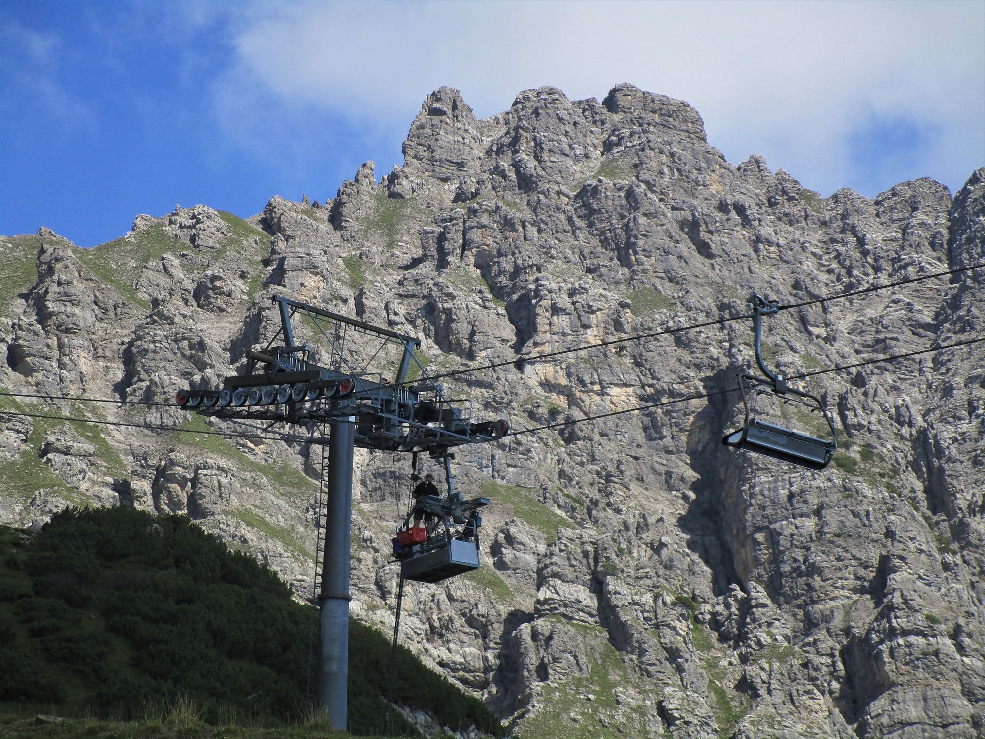
Nenzinger Himmel0.5 kmAlpe Setsch1.8 kmGulma (1,859 m)7.8 kmGulmabahn8.2 kmNiggenkopfbahn II8.7 kmNiggenkopfstüble9.1 km
- Best season
-
JanFebMarAprMayJunJulAugSepOctNovDec
- Highest point
- 2,041 m
- Endpoint
-
Brand
- Height profile
-


- Author
-
The tour Bergtour: Vom Nenzinger Himmel nach Brand is used by outdooractive.com provided.
GPS Downloads


General info
Refreshment stop
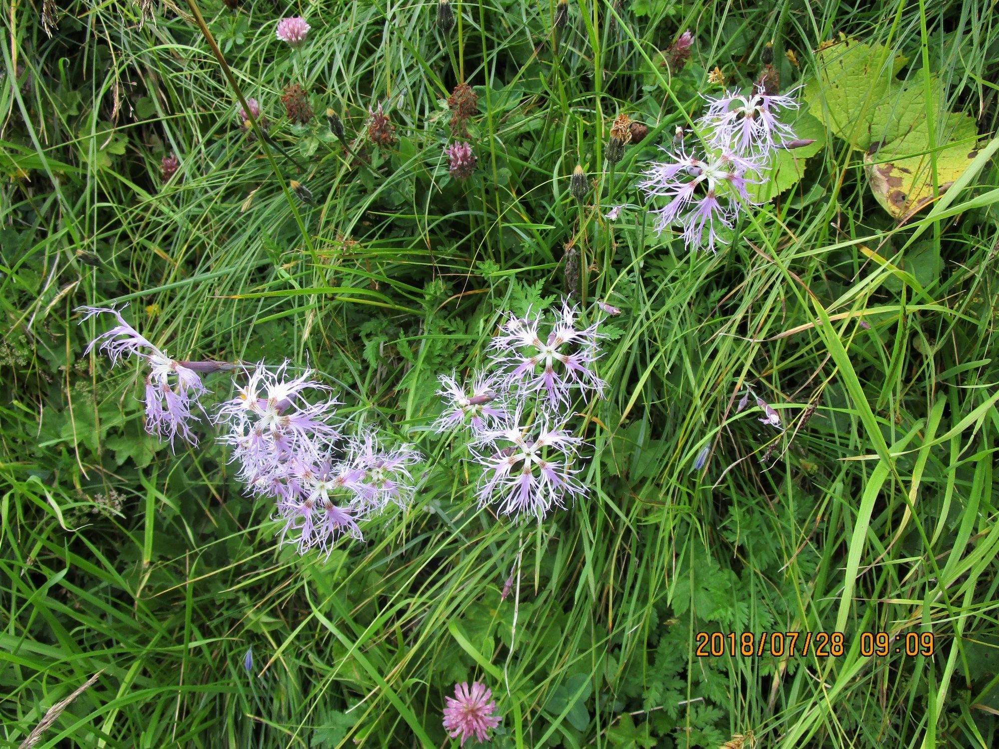
A lot of view
Other tours in the regions
-
Heidiland
2201
-
Brandnertal
1568
-
Brand
431


