

© Vorarlberg Tourismus GmbH - Rudolf Mayerhofer

- Brief description
-
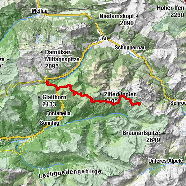
Damüls - Faschina - Bartholomäusalpe - Zafernalpe - Hochschere - Obere Ischkarneialpe - Biberacher Hütte
- Difficulty
-
difficult
- Rating
-
- Route
-
Damüls (1,423 m)0.1 kmFaschina2.2 kmZafernalpe (1,702 m)7.0 kmOberalp12.2 kmObere Ischkarneialpe15.9 kmSchadonapass (1,836 m)17.3 kmBiberacher Hütte (1,846 m)17.5 km
- Best season
-
JanFebMarAprMayJunJulAugSepOctNovDec
- Highest point
- 1,992 m
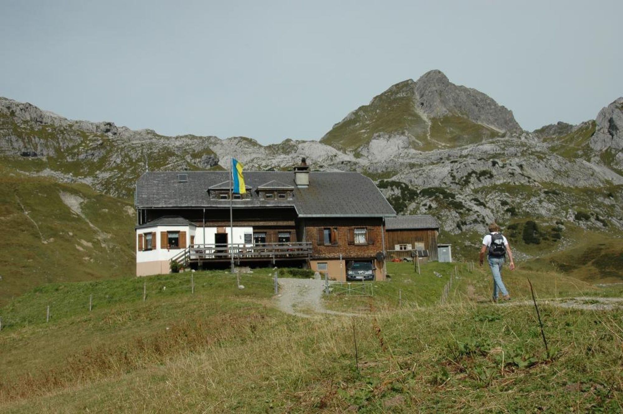
- Endpoint
-
Biberacher Hütte
- Height profile
-

- Author
-
The tour Damüls | Zur Biberacher Hütte is used by outdooractive.com provided.
GPS Downloads


General info
Refreshment stop
A lot of view
Other tours in the regions


