


Tour data
11.84km
1,496
- 2,174m
730hm
804hm
05:30h
- Brief description
-
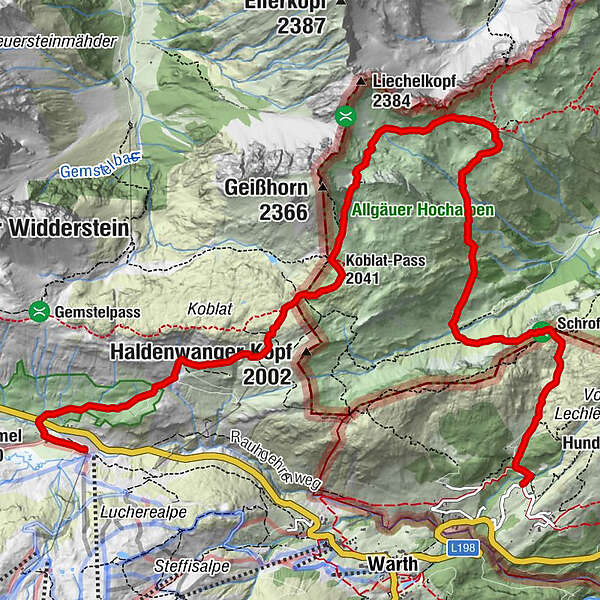
Schöne Höhentour in die Allgäuer Berge mit dem highligt Schrofenpass
- Route
-
JägeralpeHochkrumbach0.2 kmKoblat-Pass (2,041 m)4.2 kmMindelheimer Hütte6.7 km
- Best season
-
JanFebMarAprMayJunJulAugSepOctNovDec
- Highest point
- 2,174 m
- Endpoint
-
Lechleiten
- Height profile
-


- Author
-
The tour Mindelheimerhütte - Schrofenpass is used by outdooractive.com provided.
GPS Downloads


General info
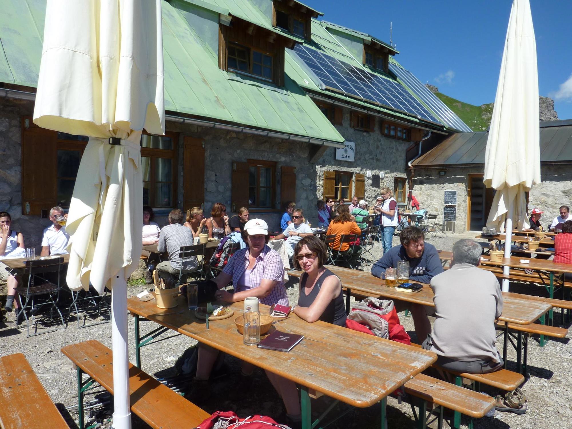
Refreshment stop
Fauna
A lot of view
Other tours in the regions
-
Kleinwalsertal
2049
-
Mittelberg
600


