


- Brief description
-
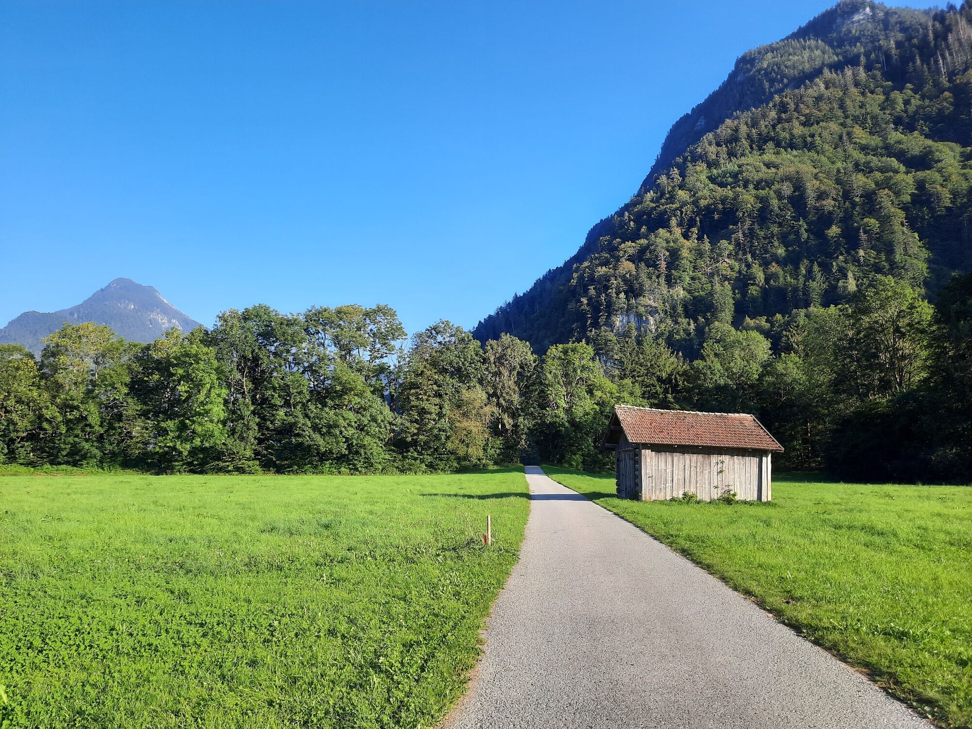
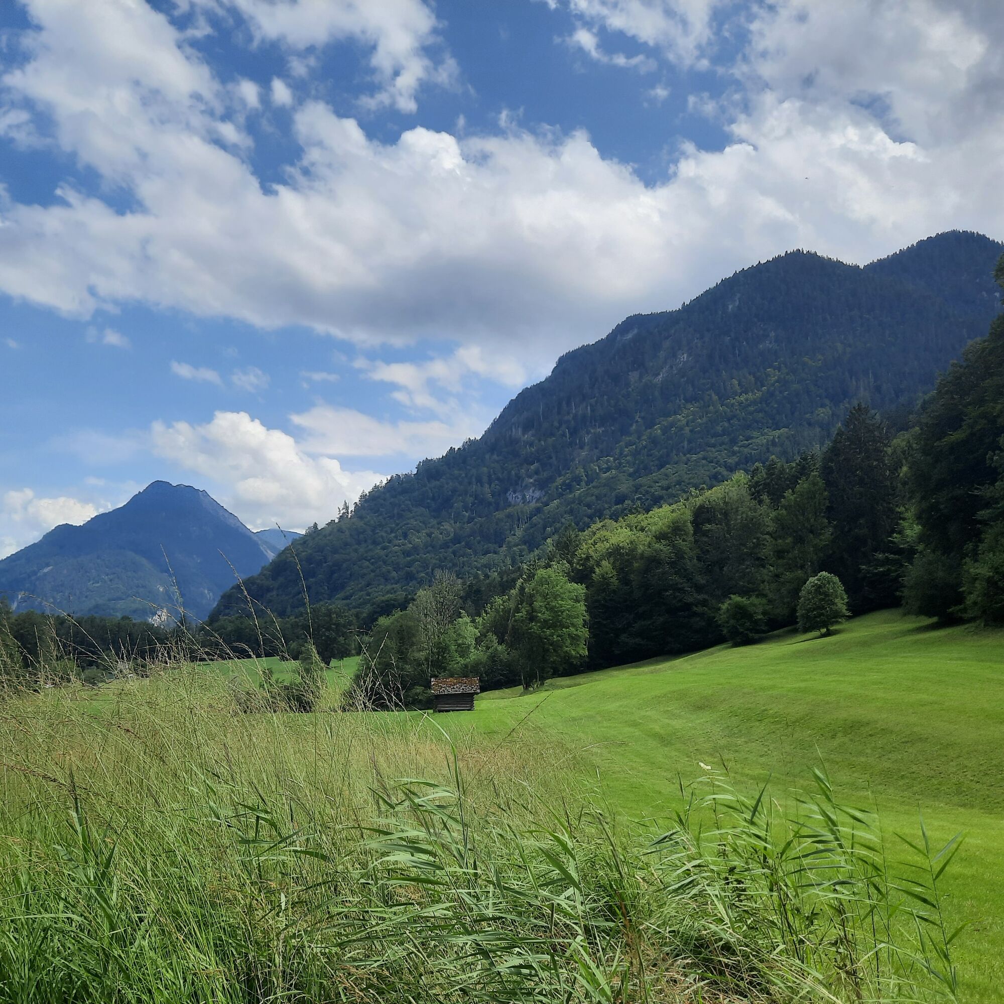
The loop is a nice option for a leisurely stroll in Bürs.
- Difficulty
-
easy
- Rating
-
- Starting point
-
Village centre, Bürs
- Route
-
Gasthof SternRestaurant RoseneggBürsBludenz4.0 kmBürs4.7 kmGasthof Stern4.9 kmRestaurant Rosenegg4.9 km
- Best season
-
JanFebMarAprMayJunJulAugSepOctNovDec
- Description
-
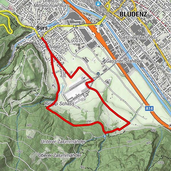
The start of this circular tour is in the village centre. From here, the trail leads via Werkstraße to Hinterburgweg. Follow this and then take the Letschaweg along the edge of the forest. The Letschaweg leads down to the Leuetobel catchment basin. From here, the path leads downwards along the second ditch. From there back towards the centre of the village and via the Werkstraße back to the starting point.
- Directions
-
Town centre, Bürs - Werkstraße - Hinterburgweg - Letschaweg - Werkstraße - town centre, Bürs
- Highest point
- 611 m
- Endpoint
-
Village centre, Bürs
- Height profile
-

- Equipment
-
Sturdy shoes, warm clothing, rain and sun protection and walking sticks are recommended. Mobile phone in case of emergency.
- Safety instructions
- Tips
-
A small but relaxing round to free yourself from the stress of everyday life.
- Directions
-
www.maps.google.at
- Public transportation
- Parking
-
Parking spaces in Bürs

- Author
-
The tour Circular Trail "Hinterburg" | Bürs is used by outdooractive.com provided.


General info
-
St. Gallen - Bodensee
2066
-
Alpenstadt Bludenz
1848
-
Bürs
489


