


- Brief description
-
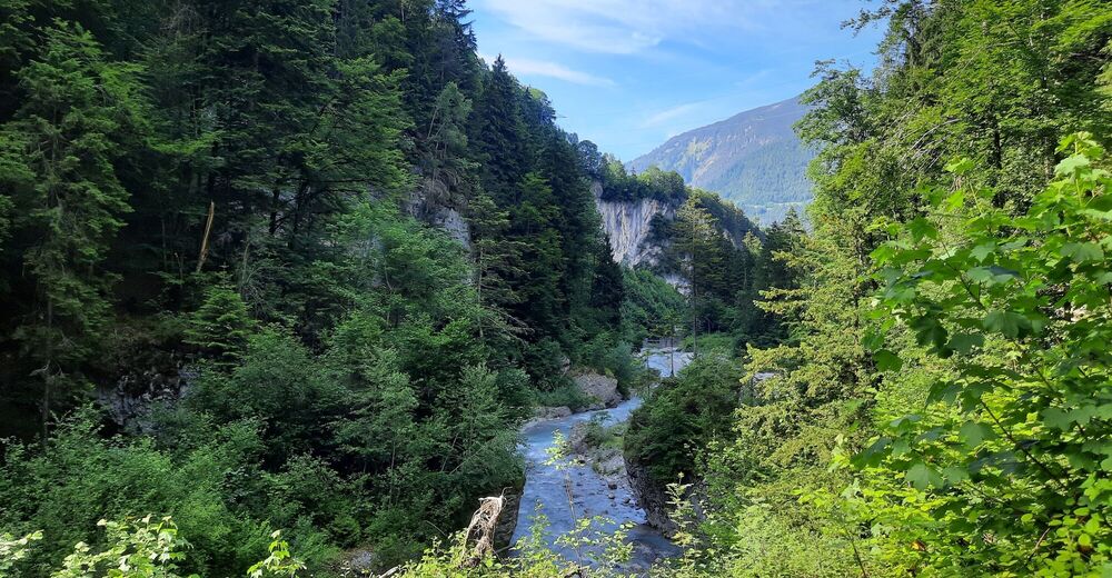
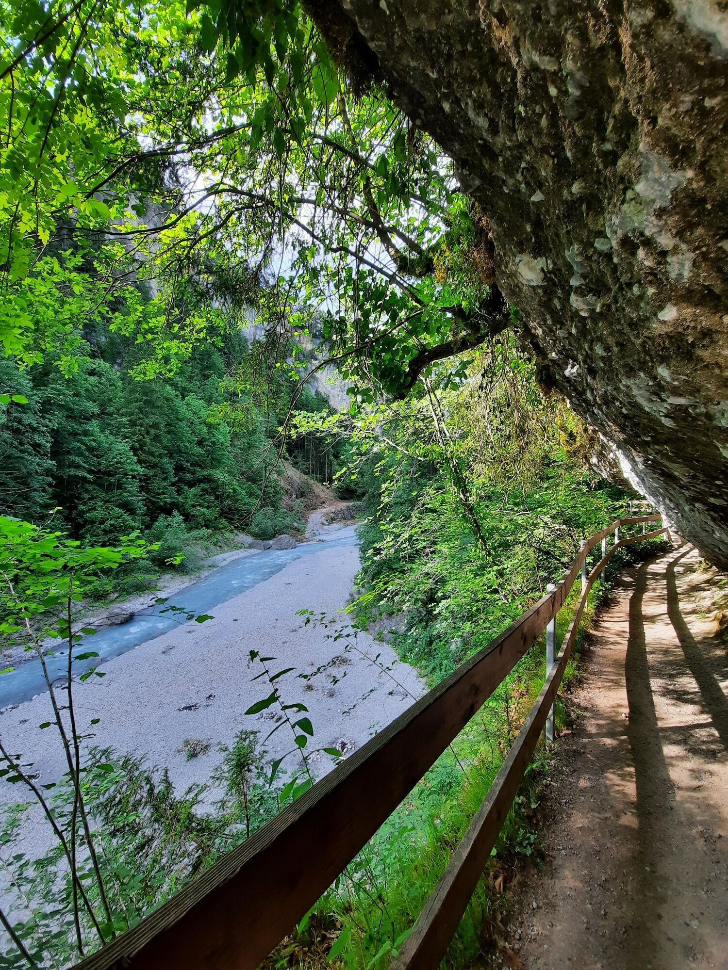
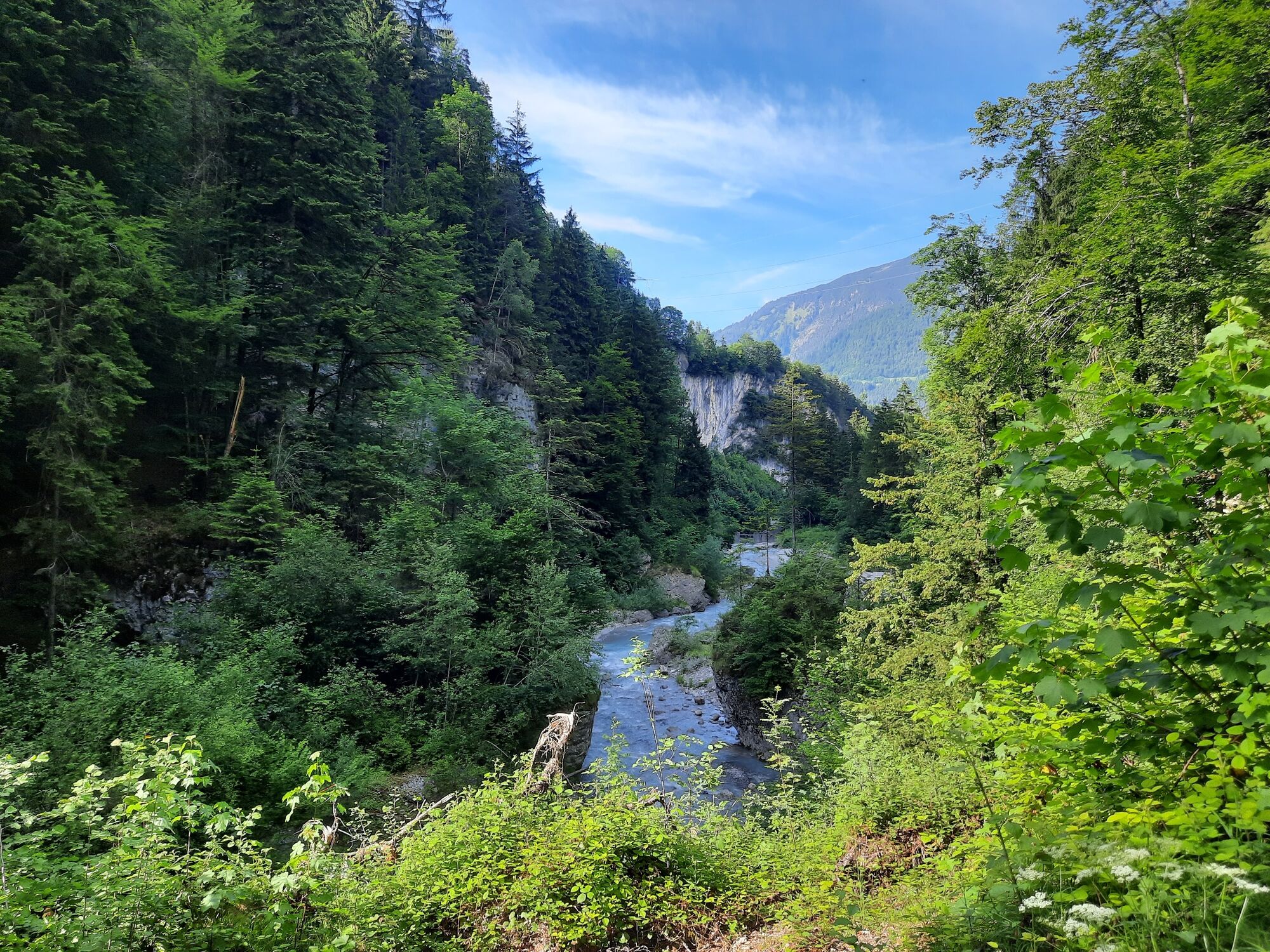
The Bürser Gorge offers extremely rare insights into the recent history of the earth and is also considered one of the most scenic gorges in the Alps with an almost primeval forest-like tree population.
- Difficulty
-
medium
- Rating
-
- Starting point
-
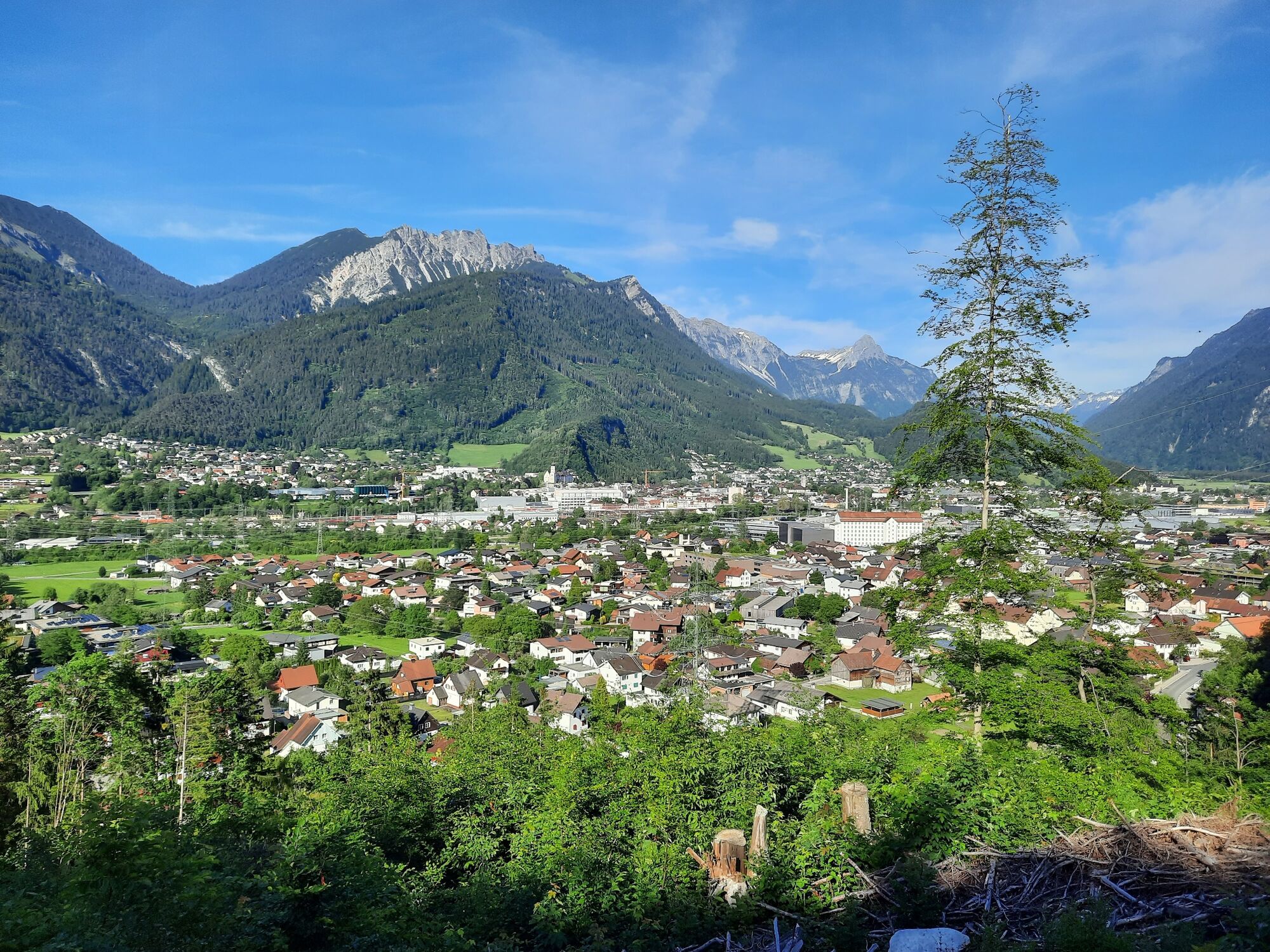
Village center, Bürs
- Route
-
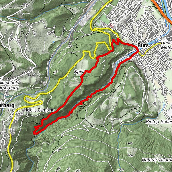
BürsBludenz0.0 kmKuhloch0.3 kmWegkapelle heilige Maria4.4 kmBürs4.9 kmBludenz5.0 km
- Best season
-
JanFebMarAprMayJunJulAugSepOctNovDec
- Description
-
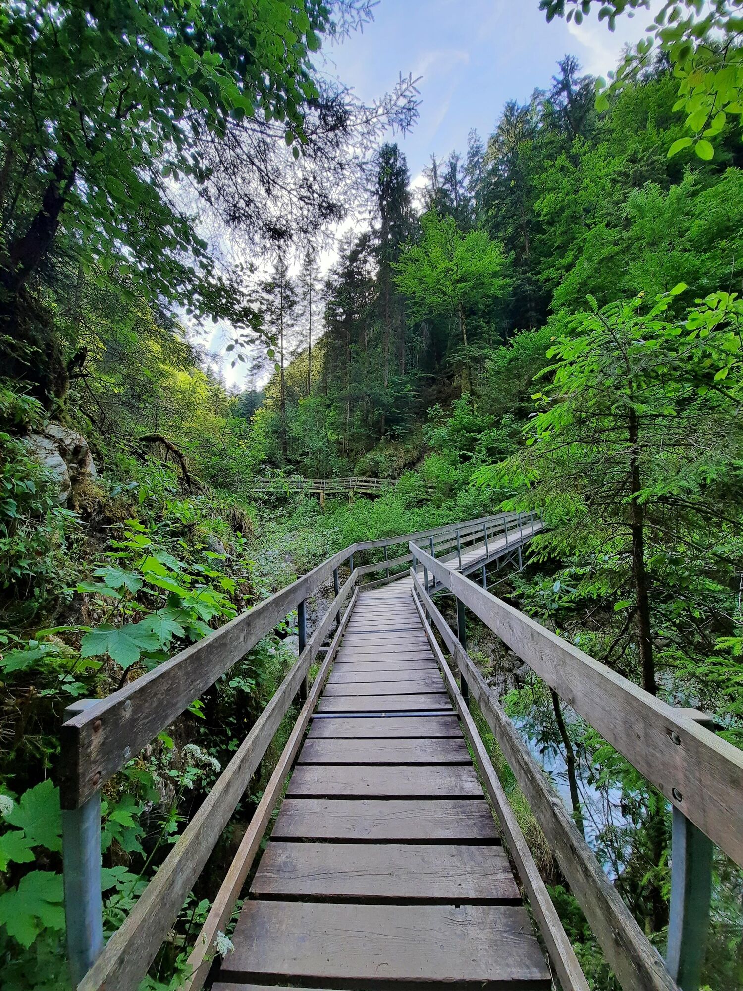
The path through the natural monument "Bürser Schlucht" takes about 2 hours via the "Kuhloch" back to Bürs.
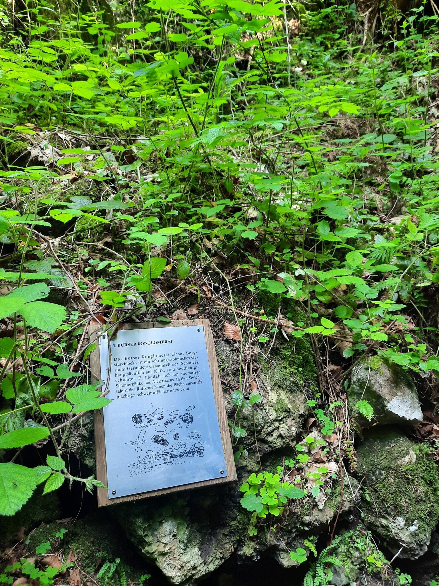
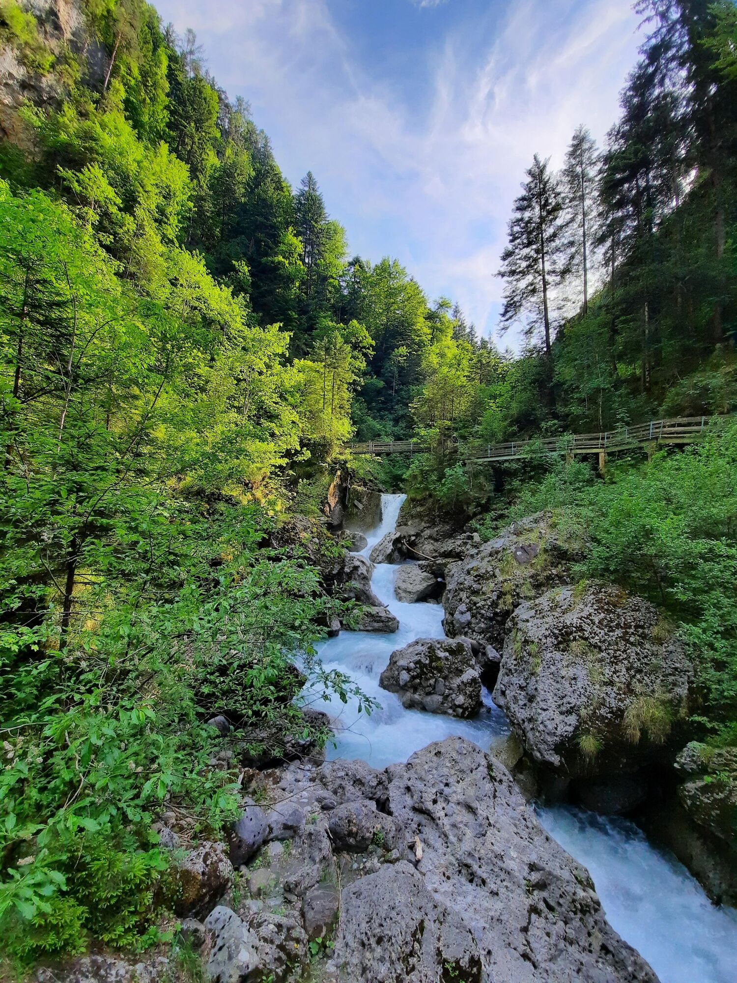
The "Bürser Konglomerat", through which the Alvierbach has carved the front part of the Bürser Gorge since the end of the last ice age, has become a geological technical term because of the occurrence so typical here. This rock form mainly occurs in the southern side valleys of the Rätikon. The "Stelleschroffen", which rises behind the church tower in Bürs, was formed by the bedload of the Alvierbach from the already ice-free Alvier valley - todays Brandnertal - into a marginal lake of the Ill glacier.
Through lime-like binders, the round-grained gravel solidified into conglomerate and remained as a rock face after the recession of the main glacier. Gneiss blocks, originating from the Ill glacier, were washed free by the Alvierbach stream at the bottom of the deposits. Moraines and gneiss blocks also lie on the plateaus of the "Schaß" (formerly Zerschaß - on the rock) and the "Spial", which were formed after the deposits. They are reliable witnesses of the interglacial formation of this landscape, which is extremely rare in the Alps.
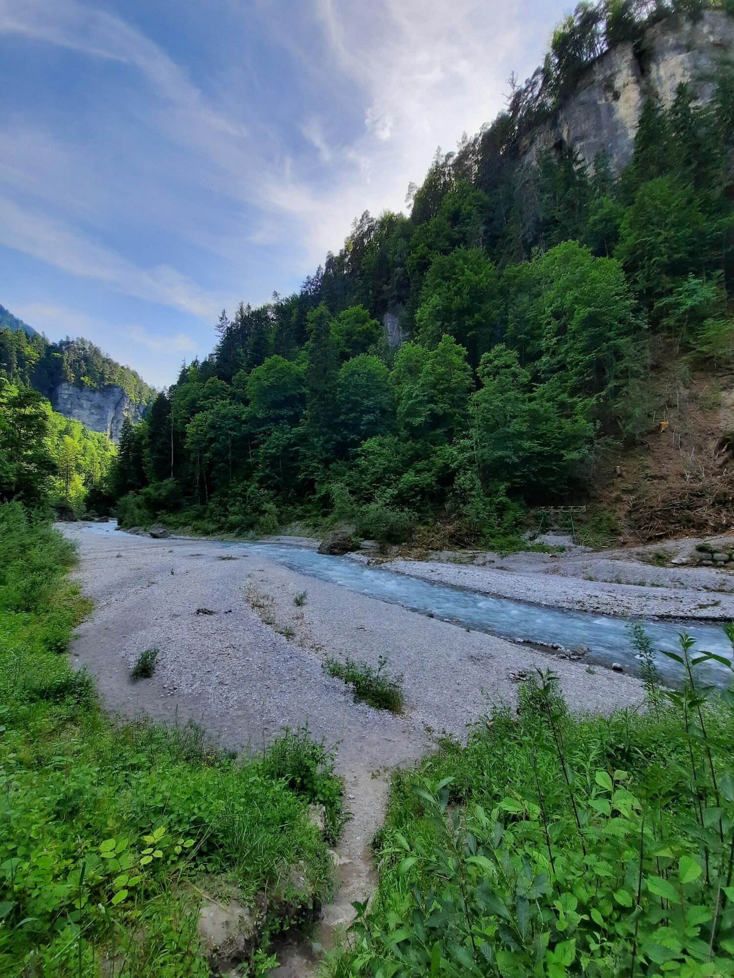
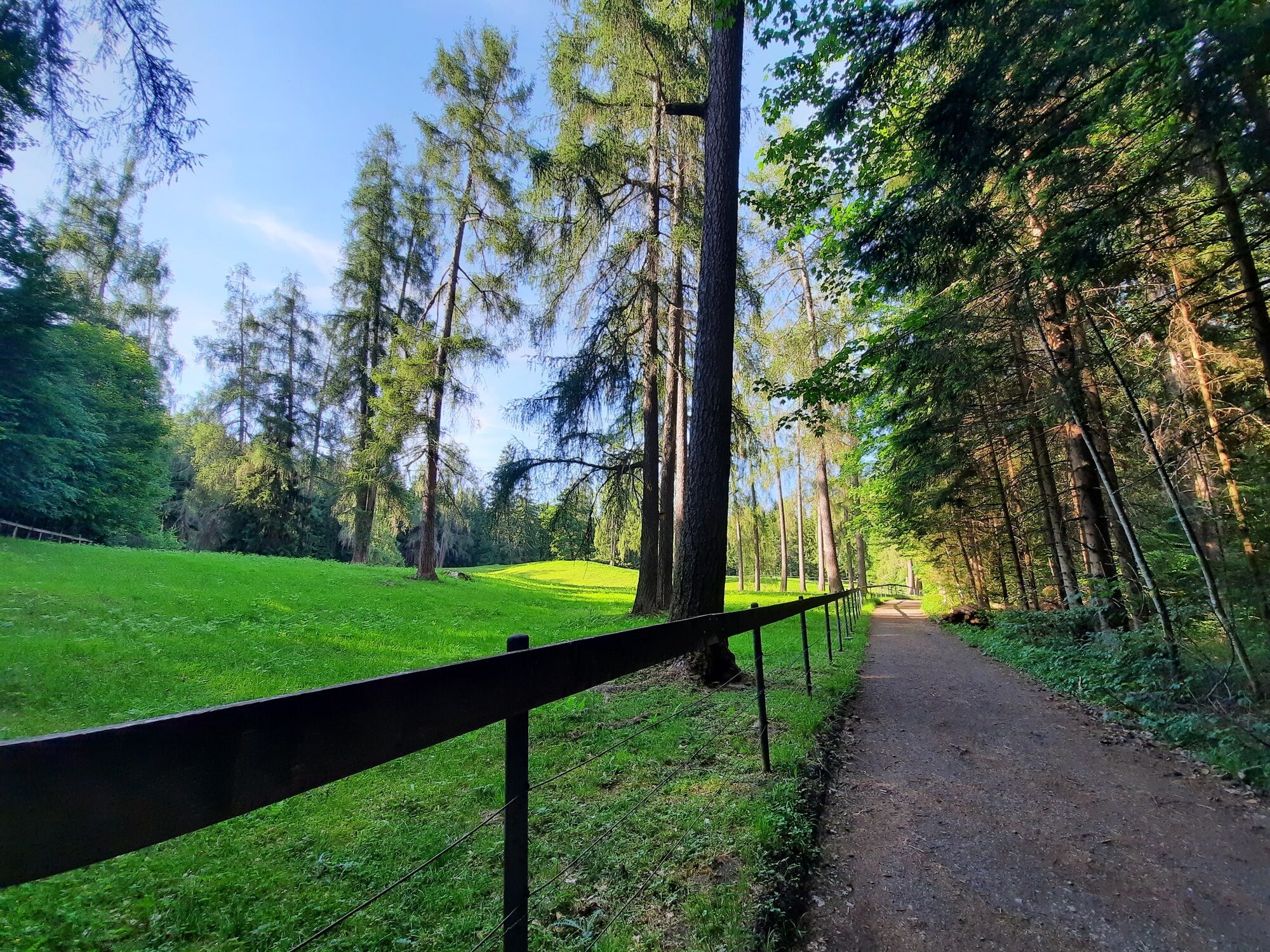
The Bürser Schlucht is a popular destination and ideal for family excursions. From the center of the village, the natural gorge trail leads through huge conglomerate blocks into the valley along the Alvierbach stream. Alternately, it goes back and forth over narrow bridges several times. The path turns and leads steeply up to the right, to the highest point of the tour. Here an ascent to Bürserberg would be possible (25 min). Downhill you reach a larch meadow via a wide path. As you continue, the path passes ripped open crevices in the ground. Finally, you reach the Kuhloch, a dry gorge dug into coarse gravel. Via a small forest path you return to Bürs.
- Directions
-
Village center - Bürser Schlucht - turnoff to Bürserberg - Lärchenwiese - Kuhloch - village center
- Highest point
- 779 m
- Endpoint
-
Village center, Bürs
- Height profile
-

- Equipment
-
Ankle hight mountain boots, warm clothing, rain and sun protection and hiking poles are recommended. Cell phone for emergencies.
- Safety instructions
-
Note: Due to the possibility of falling rocks, the use of the path is only allowed at your own risk and because of the nearby shooting range of the shooting guild, you should not leave the marked paths.
EMERGENCY CALL
140 Alpine emergencies Austria-wide
144 Alpine emergencies Vorarlberg
112 Euro-emergency call (works with any mobile phone/network) - Tips
-
You can find out more exciting details on the guided gorge hike. All dates at www.brandnertal.at/events.
Bürser Gorge folder and DVD available from Bürs or Brandnertal Tourismus.
- Directions
-
maps.google.at
- Public transportation
- Parking
-
At the start in Bürs: Elektrizitätswerk Lug, Bürs
At the start in Bürserberg: Municipal office, Bürserberg

- Author
-
The tour Bürser Schlucht | Bürs is used by outdooractive.com provided.


General info
-
St. Gallen - Bodensee
2067
-
Brandnertal
1568
-
Bürs
489


