
© Damüls - Faschina Tourismus - Matthias Greilach

- Brief description
-
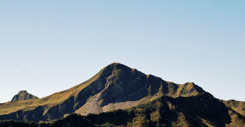
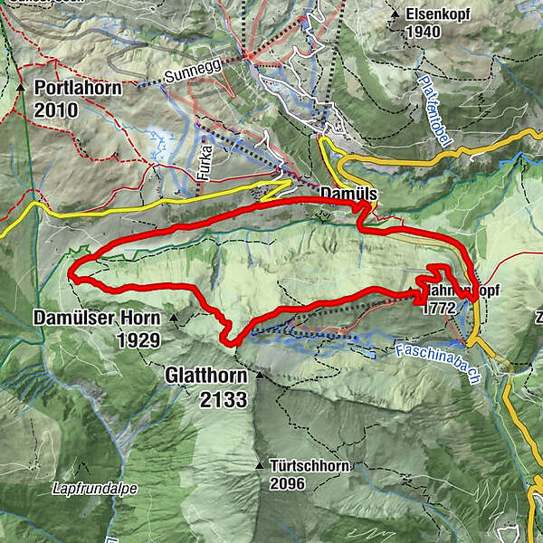
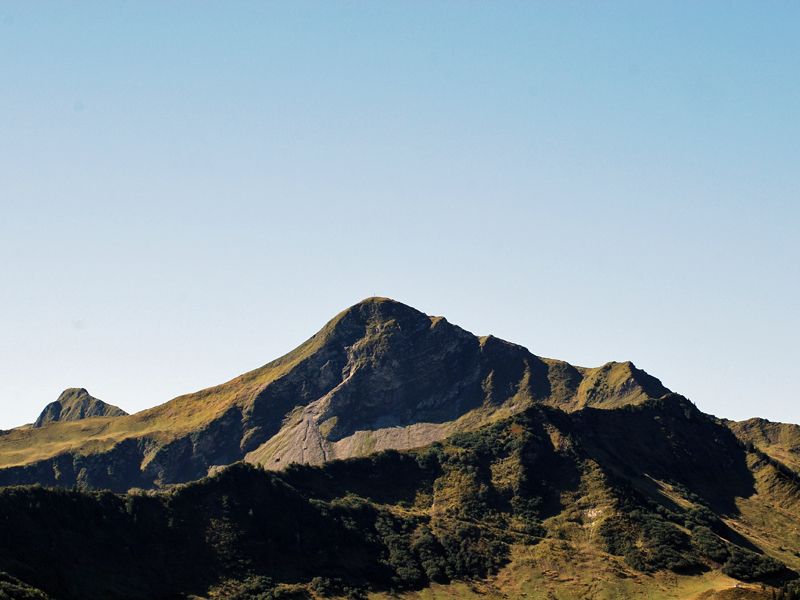
Faschinajoch - Hahnenkopf - Bergstation Glatthornbahn - Alpe Unterdamüls - Damüls Kirchdorf - Faschinajoch
- Difficulty
-
medium
- Rating
-
- Route
-
Faschina0.1 kmHahnenkopf (1,772 m)1.7 kmAlpe Unterdamüls5.9 kmDamüls (1,423 m)8.9 kmFaschina11.0 km
- Best season
-
JanFebMarAprMayJunJulAugSepOctNovDec
- Highest point
- 1,979 m
- Endpoint
-
Faschinajoch
- Height profile
-

- Author
-
The tour Damüls-Faschina | Rundtour Faschina-Damüls-Faschina is used by outdooractive.com provided.
GPS Downloads


General info
Refreshment stop
Flora
Other tours in the regions
-
St. Gallen - Bodensee
2066
-
Biosphärenpark Großes Walsertal
2008
-
Damüls
576


