Schwarzenberg | Wanderung zum Aussichtspunkt Rothenbach-Schrofen

Hiking

© Schwarzenberg Tourismus - Christine Kleber

© Bregenzerwald Tourismus - Cornelia Kriegner

© Bregenzerwald Tourismus - Cornelia Kriegner

© Bregenzerwald Tourismus - Cornelia Kriegner

© Bregenzerwald Tourismus - Nadine Lerho

© Bregenzerwald Tourismus - Johannes Fink

- Brief description
-
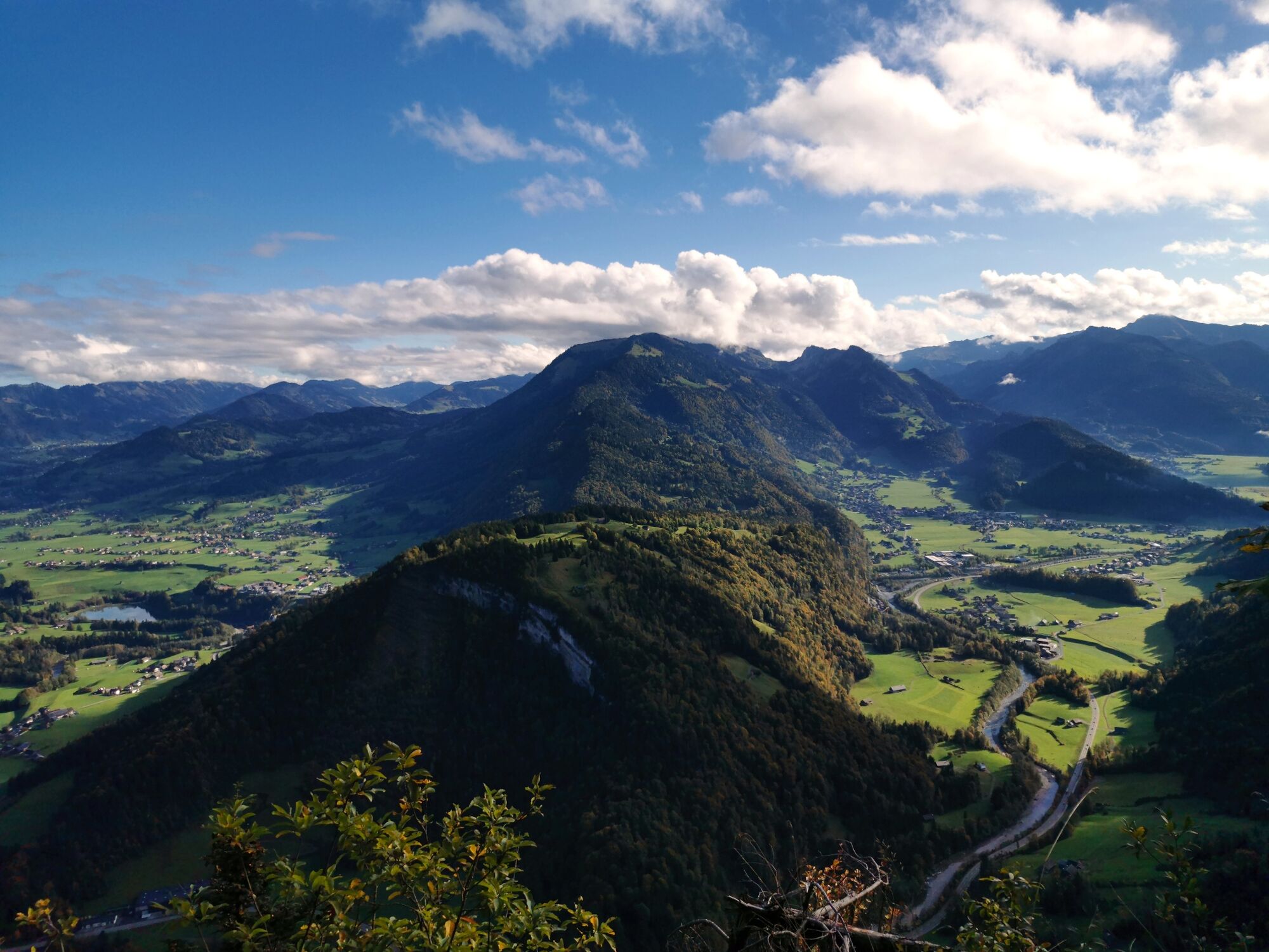
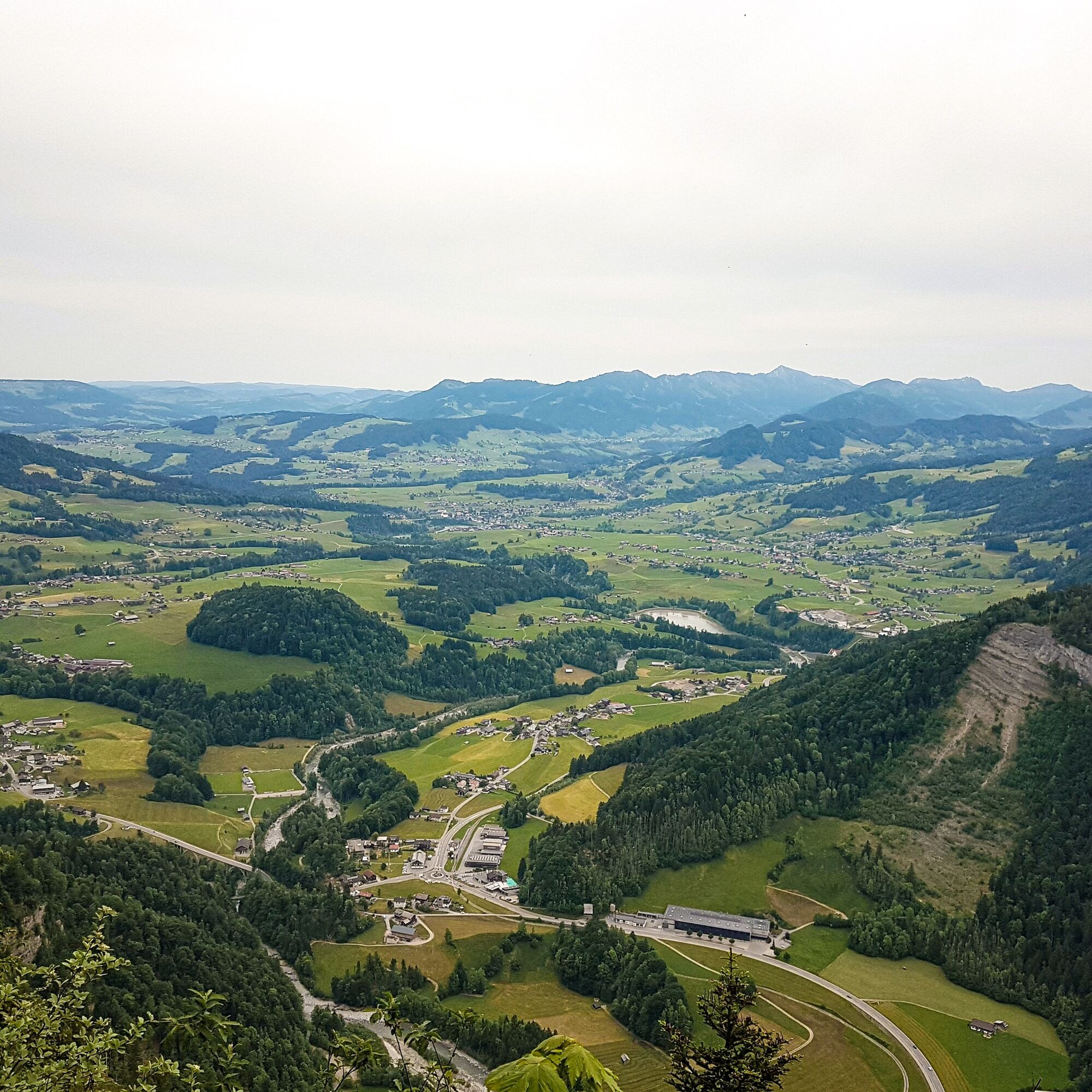
Dieser Weg führt am Weiler Gmeind vorbei. Ebenso führt es an zwei sogenannten "Vorsäßen", Klausberg und Hütte, die nur im Herbst und Frühjahr je ca. 4 Wochen von den Bauern mit ihrem Vieh bezogen werden, vorbei. Diese sogenannte Drei-Stufen-Landwirtschaft wurde 2011 von der UNESCO zum Immateriellen Kulturerbe ernannt und stellt somit einen von mehreren wichtigen Eckpfeilen der Bregenzerwälder Tradition dar.
- Difficulty
-
easy
- Rating
-
- Route
-
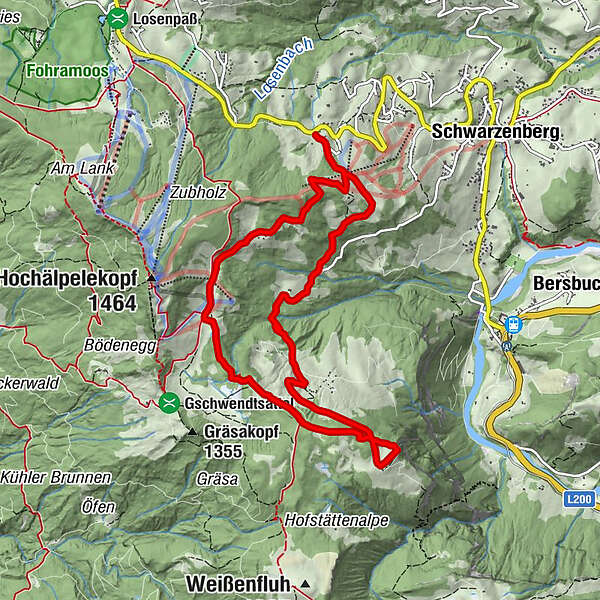
Zum Haldenstüble0.5 kmHl. Ilgakapelle1.2 kmIlgaquelle1.3 kmVorsäß Klausberg3.2 kmLustenauer Hütte6.9 kmÄlpele7.7 kmZum Haldenstüble10.1 km
- Best season
-
JanFebMarAprMayJunJulAugSepOctNovDec
- Highest point
- 1,279 m
- Endpoint
-
Bushaltestelle Ortsteil Gmeind
- Height profile
-


- Author
-
The tour Schwarzenberg | Wanderung zum Aussichtspunkt Rothenbach-Schrofen is used by outdooractive.com provided.
All ratings
Anna Tenkova
31. Mar. 2024
Ein wunderschöner Wanderweg
GPS Downloads


General info
Refreshment stop
A lot of view
Other tours in the regions
-
St. Gallen - Bodensee
2066
-
Bregenzerwald
2295
-
Schwarzenberg
608


