
- Brief description
-
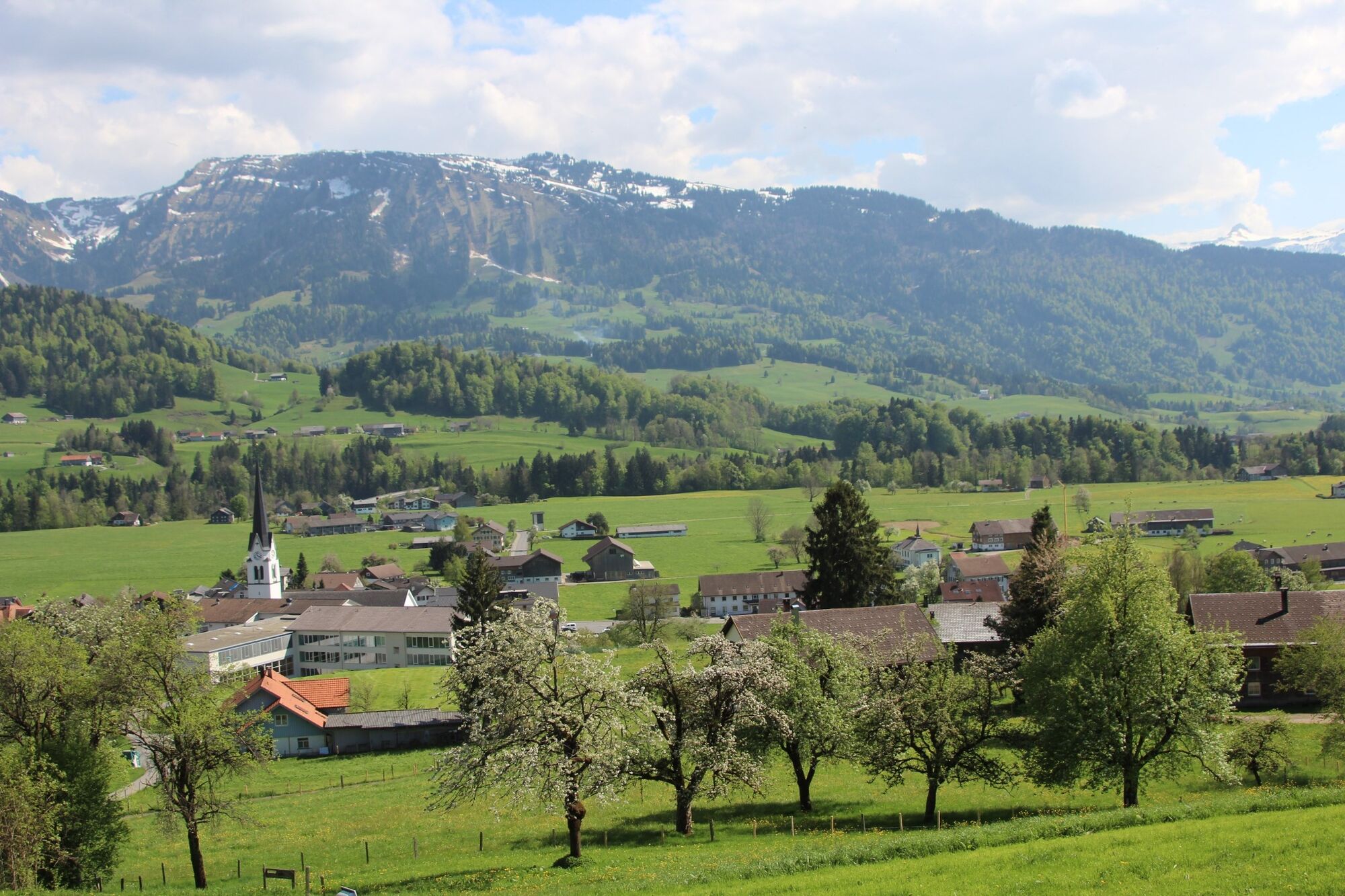
This running path is a demanding stretch that passes the mountain of Rotenberg, the town of Hittisau and the valley of the river Subersach.
- Difficulty
-
difficult
- Rating
-
- Starting point
-
Overview board village center
- Route
-
Pfarrkirche Johannes der TäuferLingenauKänzele5.0 kmGasthof Adler11.3 kmGasthaus Traube11.3 kmLingenau11.5 kmPfarrkirche Johannes der Täufer11.5 km
- Best season
-
JanFebMarAprMayJunJulAugSepOctNovDec
- Description
-
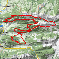
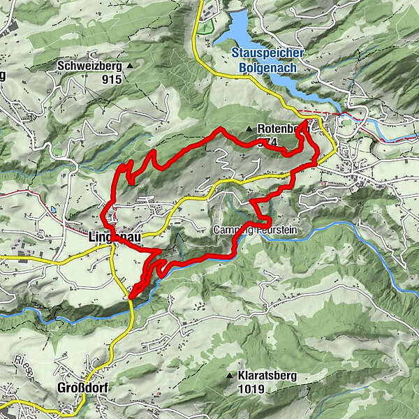
The demanding run with an elevation gain of over 400 metres starts from the map in the village square. Via the Oberbuch parcel of land, run up to the Rotenberg and then towards Hittisau. In Tannen, take the path through the forest and meadow down to the A road, and follow it for a short time towards Lingenau.
On the Tobel parcel of land, an agricultural path branches off to the left. Follow this path as far as the ravine of the Subersach, then continue to the Negrelli bridge in Lingenau. From there, take the ascent to the Gschwend parcel of land. Via Hehl, you return to the map.
- Directions
-
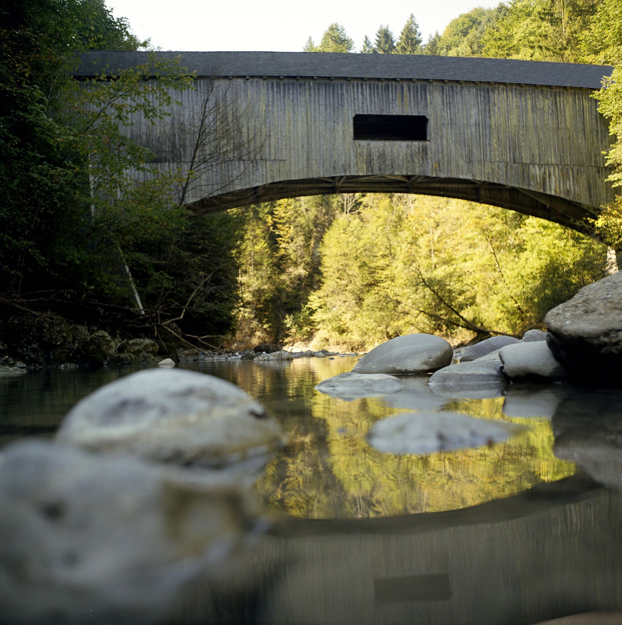
This running path is a demanding stretch that passes the mountain of Rotenberg, the town of Hittisau and the valley of the river Subersach. On this running path, you overcome more than 400 height meters. You will enjoy a changing landscape with the densely wooded Rotenberg, the town of Hittisau and the narrow river valley of the Subersach. After having passed the historical Negrelli Bridge, you run steeply uphill back to the starting point at the village square of Lingenau.
- Highest point
- 939 m
- Endpoint
-
Overview board village center
- Height profile
-

- Equipment
-
Good running shoes, weather confirmed clothing
- Public transportation
- Author
-
The tour Lingenau | Negrelli's trail is used by outdooractive.com provided.


General info
-
Allgäu
21
-
Bregenzerwald
46
-
Lingenau
13