- Brief description
-
If you want to go a little further up than just to Lünersee, the Totalp Trail is just the thing for you.
- Difficulty
-
difficult
- Rating
-
- Starting point
-
Lünersee cable car mountain station
- Route
-
Totalalp hut3.0 kmLünersee Alpe6.0 kmDouglasshütte8.8 kmLünerseebahn Bergstation8.9 km
- Best season
-
JanFebMarAprMayJunJulAugSepOctNovDec
- Description
-
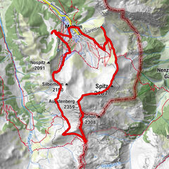
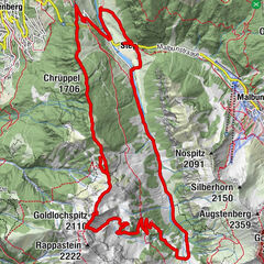
After the ascent with the Lünersee cable car, the trail starts directly at the mountain station. The Totalp trail runs briefly on the Lünersee circular route before it branches off to the right in the direction of Totalphütte. From here it goes uphill to the hut, back it goes the first part on the same way, then the trail leads us right under the Gamsluggen again down to the Lünersee. Continue again on the Lünersee circular trail to the starting point.
- Directions
-
Lünersee cable car valley station - ascent with the Lünersee cable car - Lünersee cable car mountain station - Lünersee circular trail - short detour to the Totalphütte - path back to the Lünersee circular trail - Lünersee cable car mountain station - descent with the Lünersee cable car - Lünersee cable car valley station
- Highest point
- 2,375 m
- Endpoint
-
Lünersee cable car mountain station
- Height profile
-

- Equipment
-
Running shoes, sun and rain protection, filled water bottle, snack (as you wish) and first aid equipment. Mobile phone for emergencies.
- Safety instructions
- Directions
-
maps.google.at
- Public transportation
- Parking
-
Parking at the Lünersee cable car valley station


- Author
-
The tour Totalp Trail | Brand is used by outdooractive.com provided.


-
Heidiland
104
-
Brandnertal
66
-
Brand
25