© Au-Schoppernau Tourismus - Monika Albrecht

© Au-Schoppernau Tourismus - Monika Albrecht

© Au-Schoppernau Tourismus - Monika Albrecht

© Au-Schoppernau Tourismus - Monika Albrecht

© Au-Schoppernau Tourismus - Monika Albrecht

© Au-Schoppernau Tourismus - Monika Albrecht

© Au-Schoppernau Tourismus - Monika Albrecht

© Au-Schoppernau Tourismus - Monika Albrecht

© Au-Schoppernau Tourismus - Monika Albrecht

© Au-Schoppernau Tourismus - Monika Albrecht

- Brief description
-
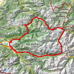
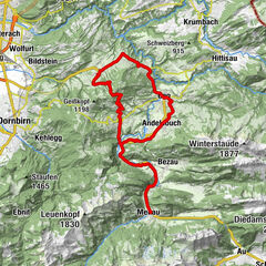
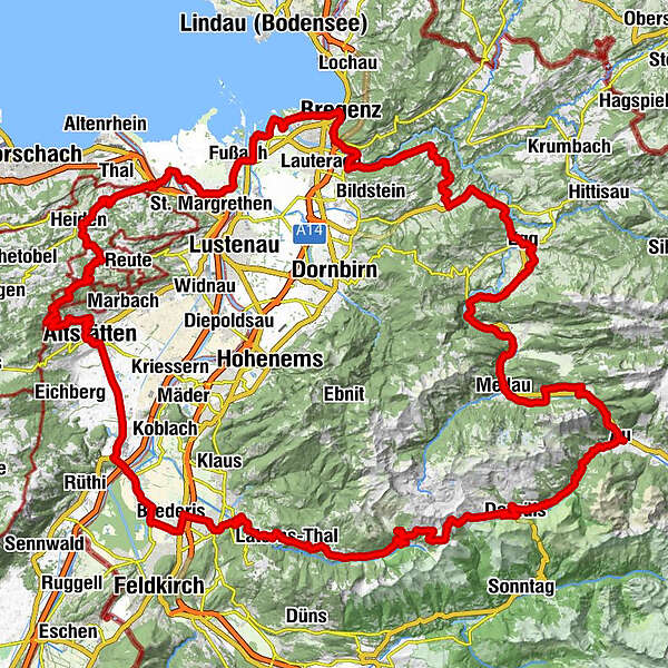
Au - Furkajoch - Rankweil - Meiningen - Grenzübergang in die Schweiz - Altstätten - Oberegg - Heiden - Rheineck - Gaißau - Höchst - Fußach - Hard - Bregenz - Kennelbach - Wolfurt - Buch - Alberschwende - Egg - Au-Schoppernau.
- Difficulty
-
difficult
- Rating
-
- Route
-
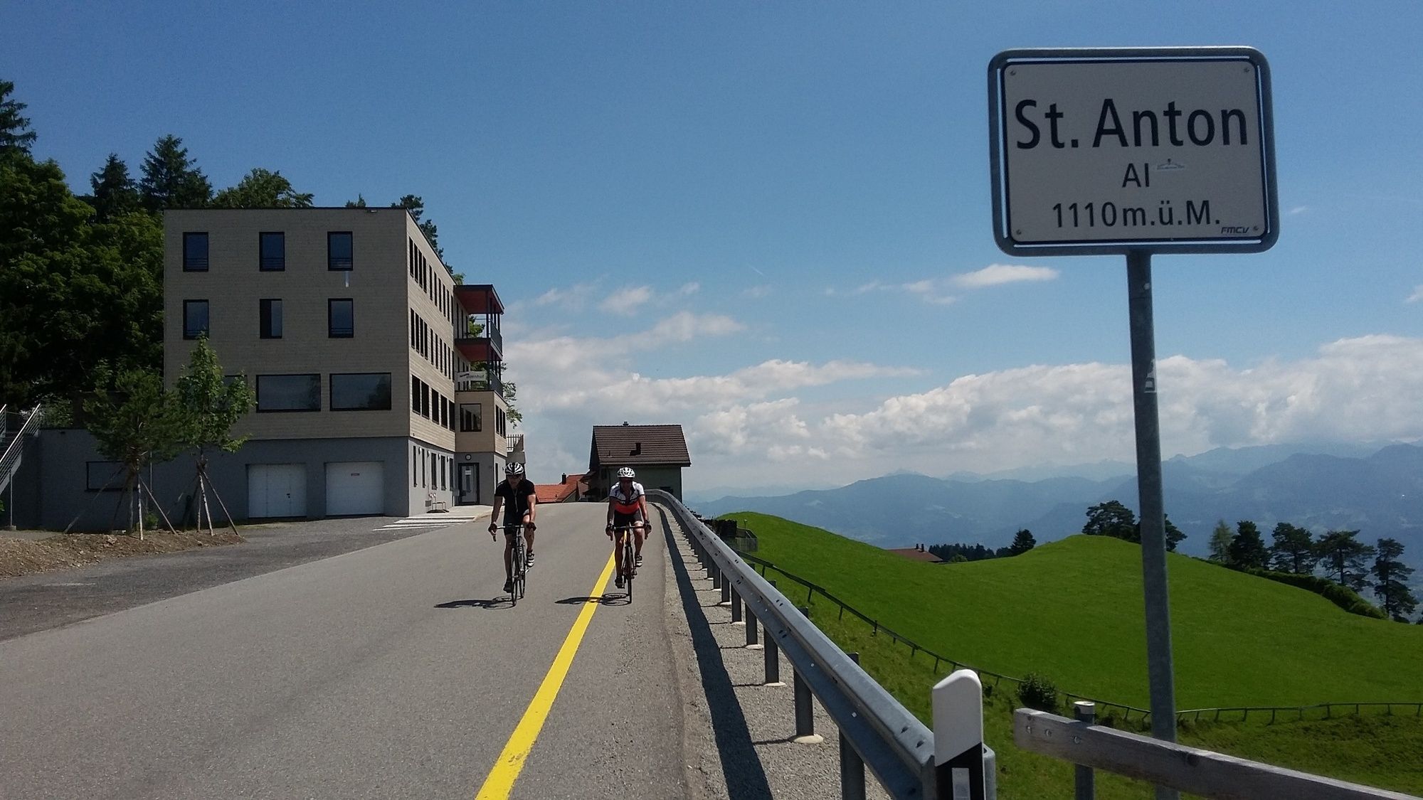
Au (800 m)0.2 kmLisse0.2 kmArgenzipfel1.0 kmUntertobel6.3 kmDreihäuser8.1 kmBerghotel Madlener9.1 kmDamüls (1,423 m)10.6 kmFurka12.6 kmHotel Alpengasthof Jägerstüble14.0 kmBad Laterns (1,147 m)23.6 kmBadlaterns (1,200 m)23.7 kmGerstenboden26.1 kmExpositurkirche Unsere Liebe Frau Mariahilf27.6 kmInnerlaterns27.7 kmSchmitten28.3 kmLaterns-Bonacker29.4 kmKapelle Maria Schnee29.4 kmLaterns-Thal31.1 kmHl. Nikolaus31.2 kmBatschuns35.3 kmZwischenwasser35.4 kmKapelle Mariahilf36.3 kmArken (508 m)37.1 kmRankweil38.7 kmSt. Josef Kirche39.1 kmDa Yang41.6 kmMeiningen47.0 kmSt. Agatha47.2 kmHaus zur Eintracht48.8 kmSpeiserestaurant Adler49.7 kmOberriet (421 m)50.4 kmRestaurant Sternen50.6 kmRestaurant Löwen50.9 kmEichenwies51.2 kmSt. Niklaus57.6 kmAltstätten57.6 kmHaus ZIEL60.5 kmRuppen (938 m)64.9 kmGasthaus Landmark65.8 kmLandmark65.8 kmzum Wilden Mann67.9 kmSt. Anton (1,123 m)68.5 kmSt. Anton68.7 kmKapelle St. Anton68.7 kmSt. Anton (1,110 m)68.8 kmSt.Anton69.0 kmOberegg (870 m)71.9 kmHeiden74.8 kmWolfhalden76.7 kmReformierte Kirche76.8 kmLutzenberg78.7 kmBurg80.8 kmKloster St. Othmar81.9 kmSt. Othmar81.9 kmGaißau82.0 kms'Birkele84.0 kmHecht85.0 kmPfarrkirche heiliger Johannes der Täufer86.3 kmHöchst86.4 kmGAUCHO - Argentinisches Steakhaus87.9 kmHirschen89.1 kmGasthof Anker89.4 kmFußach89.7 kmSt. Sebastian93.1 kmHard93.2 kmBregenz98.8 kmSeekapelle99.7 kmBregenz (427 m)99.8 kmSt. Antonius100.1 kmLourdeskirche100.1 kmSiechenkapelle100.8 kmKennelbach103.2 kmWolfurt (420 m)104.4 kmHl. Nikolaus104.5 kmBuch110.6 kmHinterfeld115.1 kmBrugg115.6 kmZipfel115.8 kmAlberschwende115.9 kmBühel116.0 kmWälderstüble117.1 kmRestaurant Engel117.1 kmDresslen117.1 kmEngler Rank117.7 km300-70117.7 kmMüselbach120.0 kmEgg123.3 kmWasserfälle Brühlbach125.5 kmWasserfälle Brühlbach125.6 kmPfarrkirche Andelsbuch126.6 kmAndelsbuch126.7 kmPizzeria La Montanara126.9 kmUnterbezegg127.9 kmGasthof Adler128.0 kmHll. Martin und Wendelin129.6 kmBersbuch (634 m)129.9 kmSchwarzenberg (636 m)130.3 kmZiegler (S-Line Gastronomie)130.4 kmHof133.6 kmBaien134.4 kmReuthe135.6 kmKlaus137.0 kmIn der Mellen137.8 kmZimmerau138.1 kmÜbermellen138.5 kmRistorante Pizzeria Sandro138.5 kmPlatz138.7 kmPfarrkirche Mellau138.7 kmMellau138.7 kmMoos138.8 kmNaze's Hus138.8 kmTempel138.9 kmAchsiedlung139.1 kmHinterbündt139.2 kmTanna139.9 kmEnge141.2 kmKapelle Hl. Martin142.6 kmLourdeskapelle142.6 kmHirschau142.7 kmSchnepfau144.7 kmPfarrkirche Schnepfau144.8 kmAu (800 m)149.6 kmLisse149.8 km
- Best season
-
JanFebMarAprMayJunJulAugSepOctNovDec
- Description
-
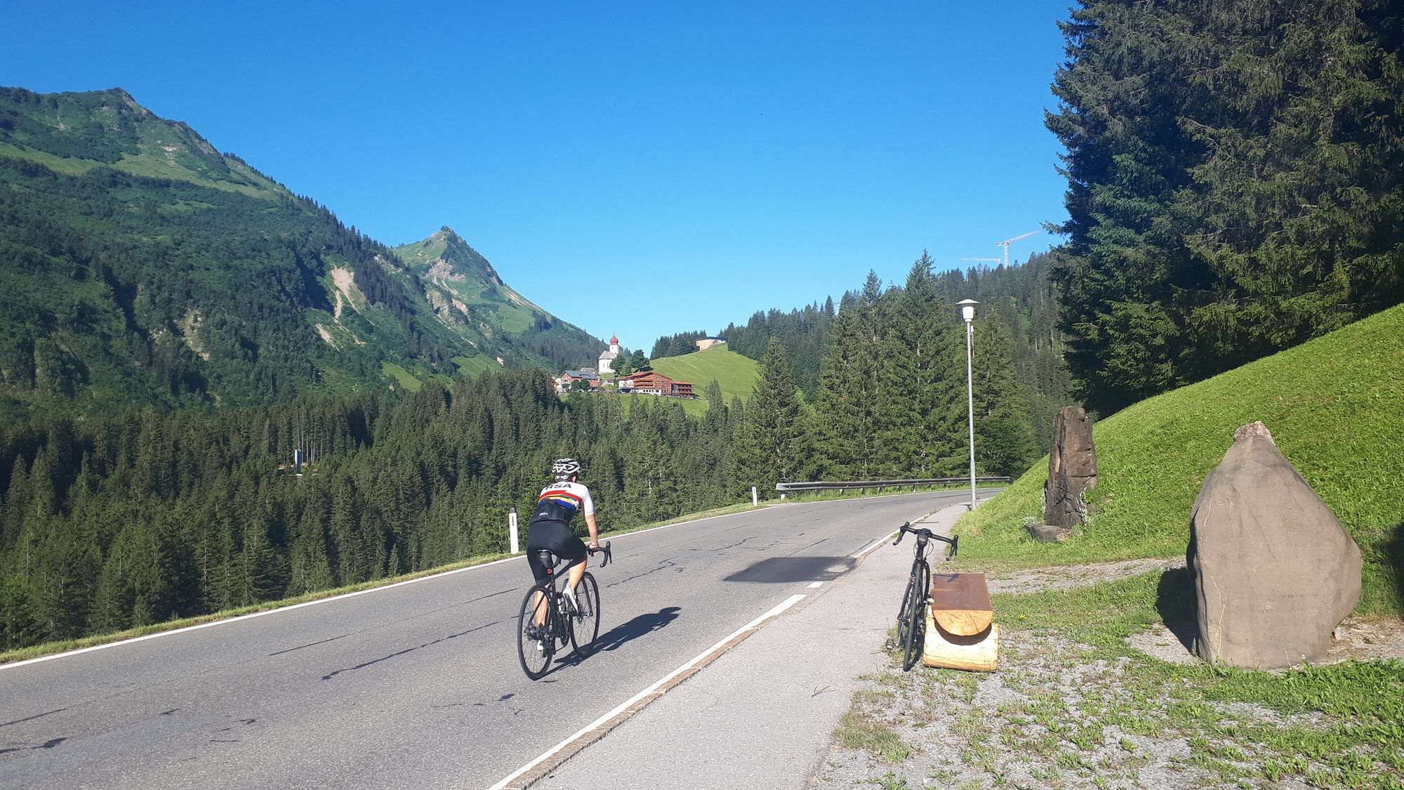
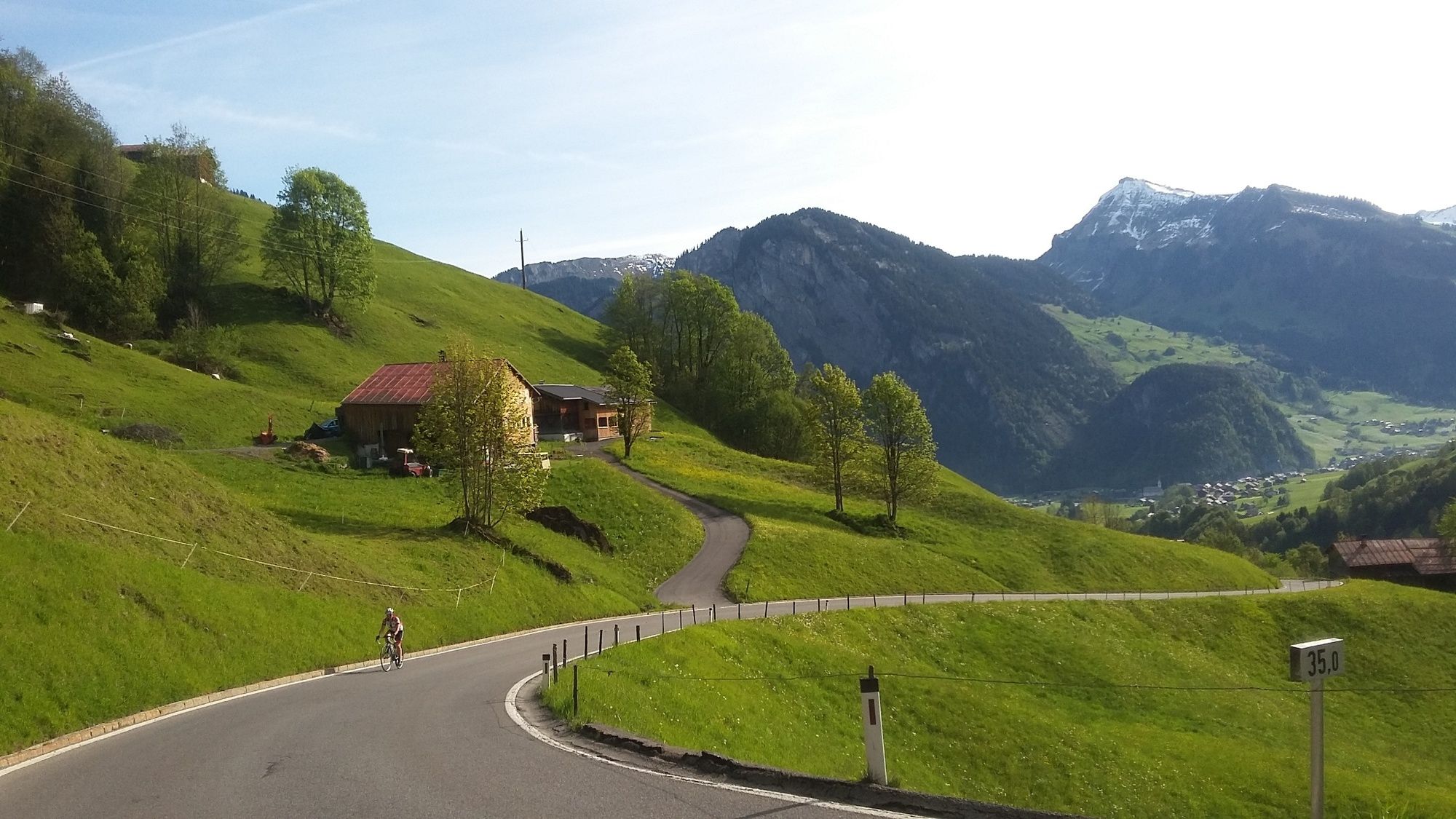
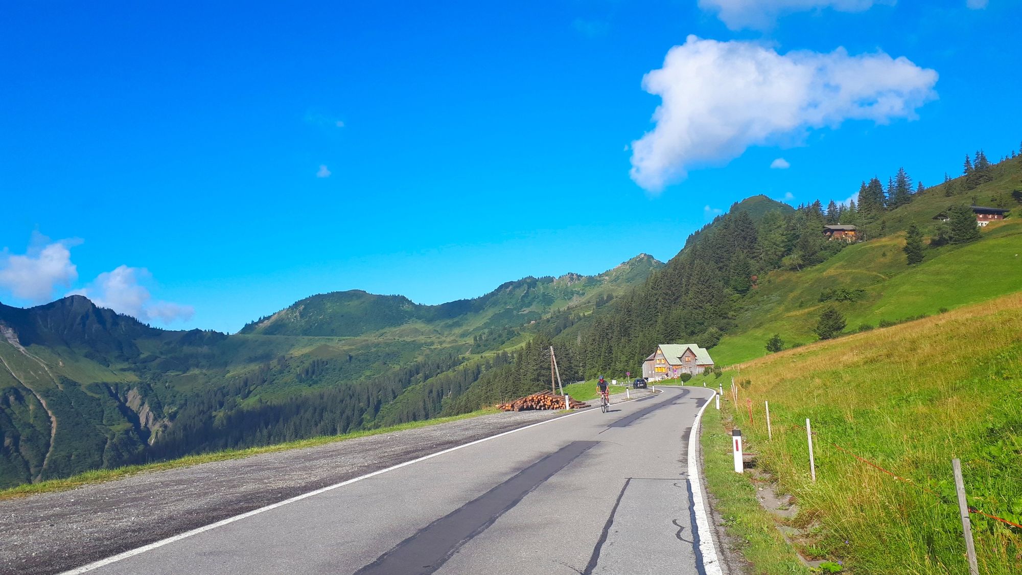
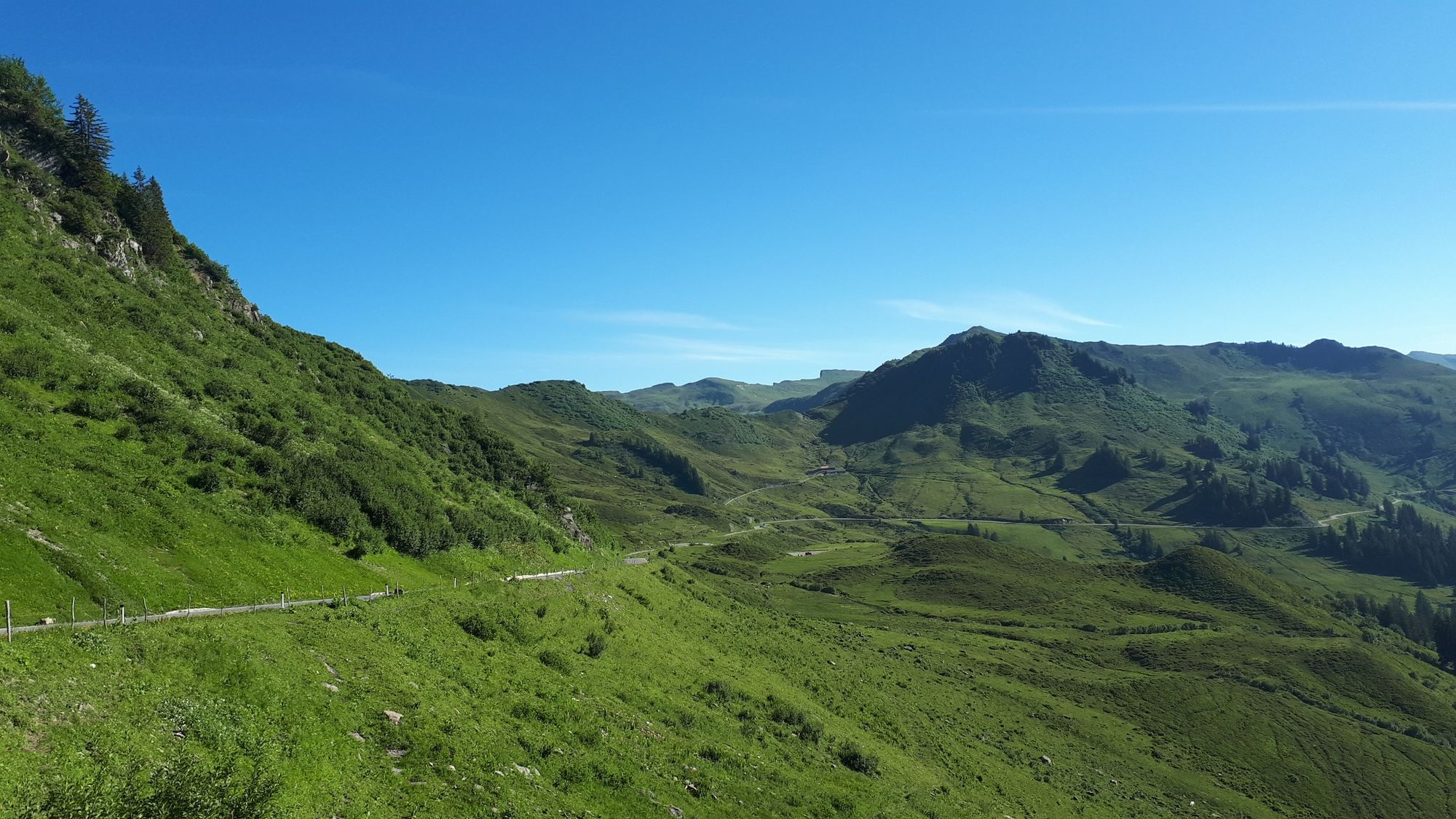
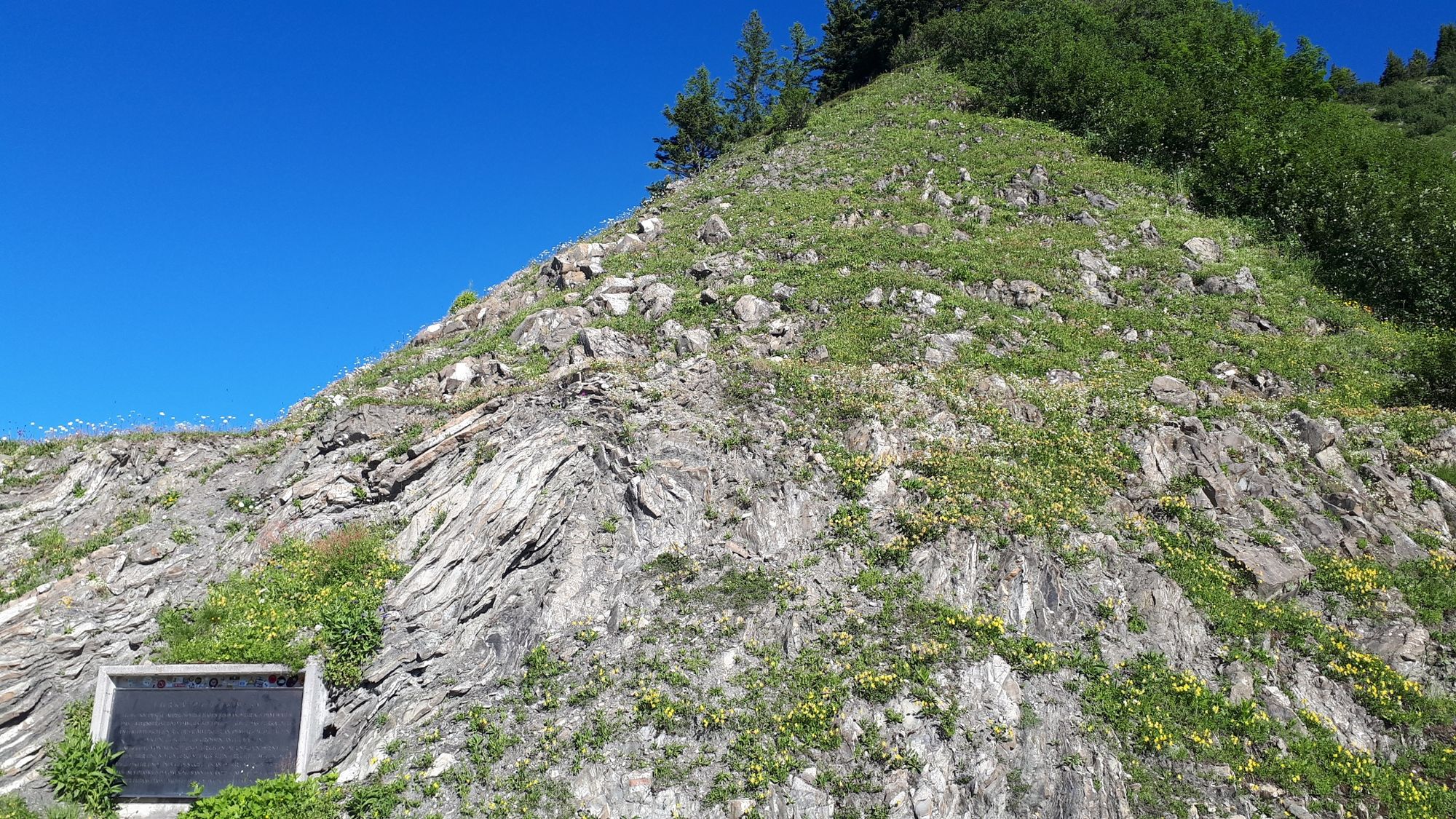
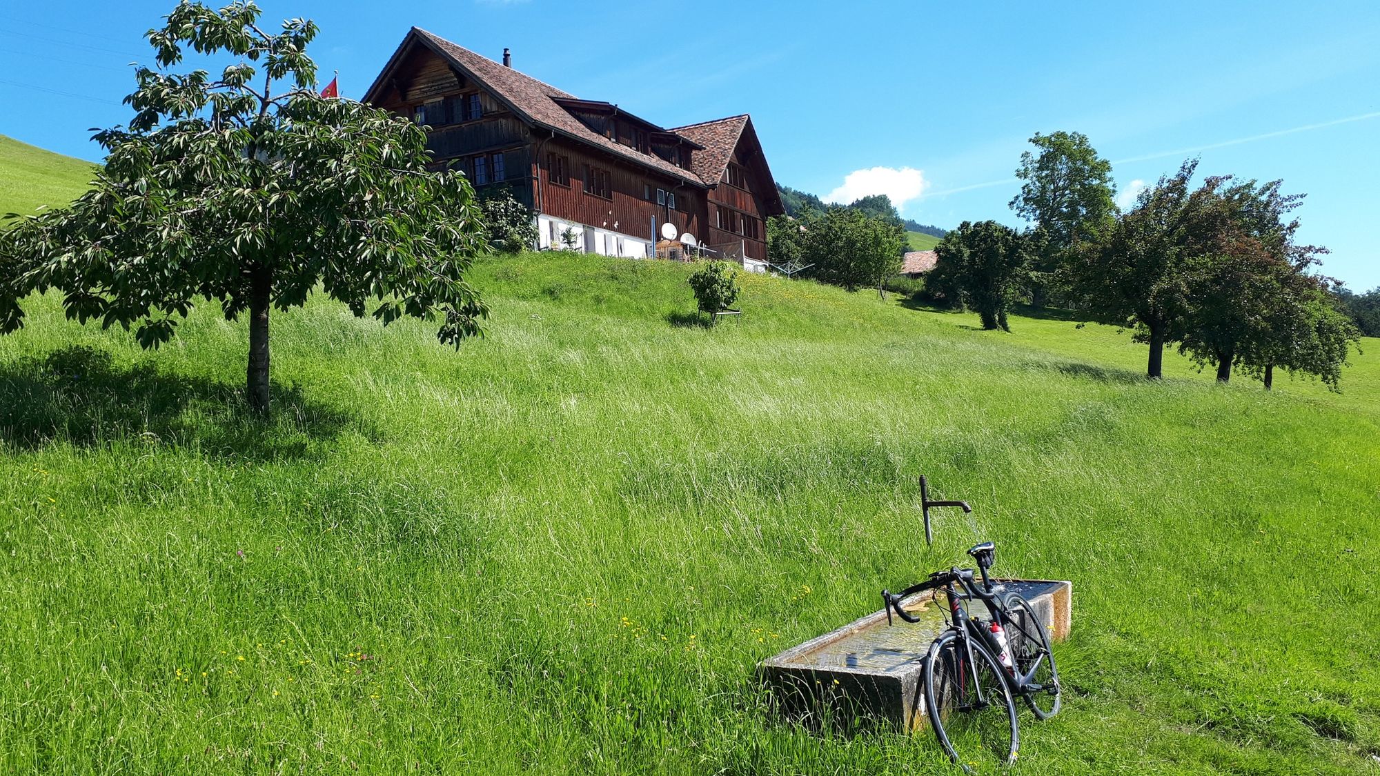
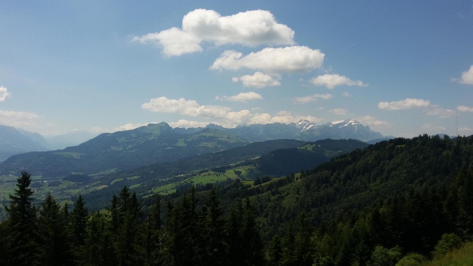
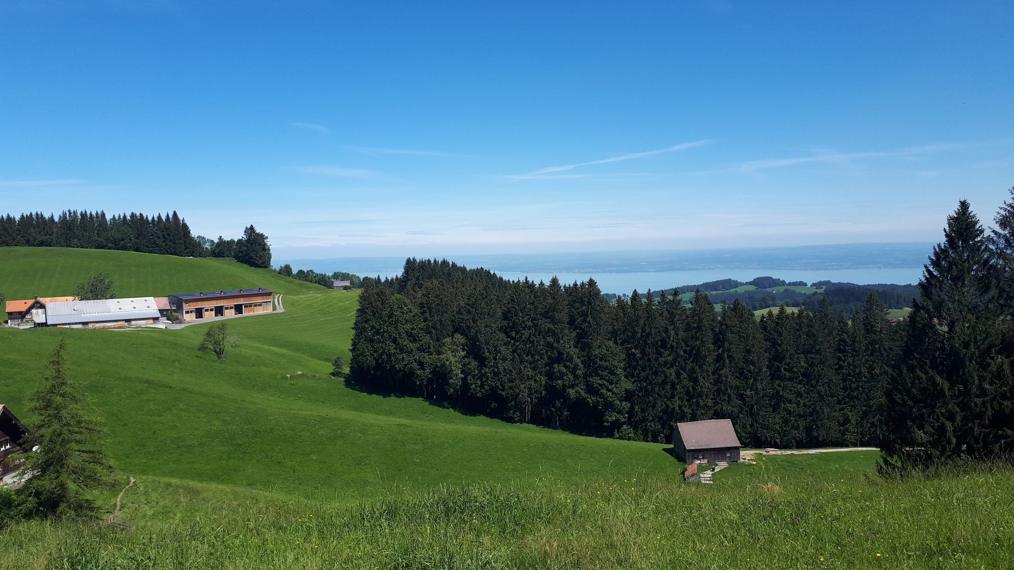
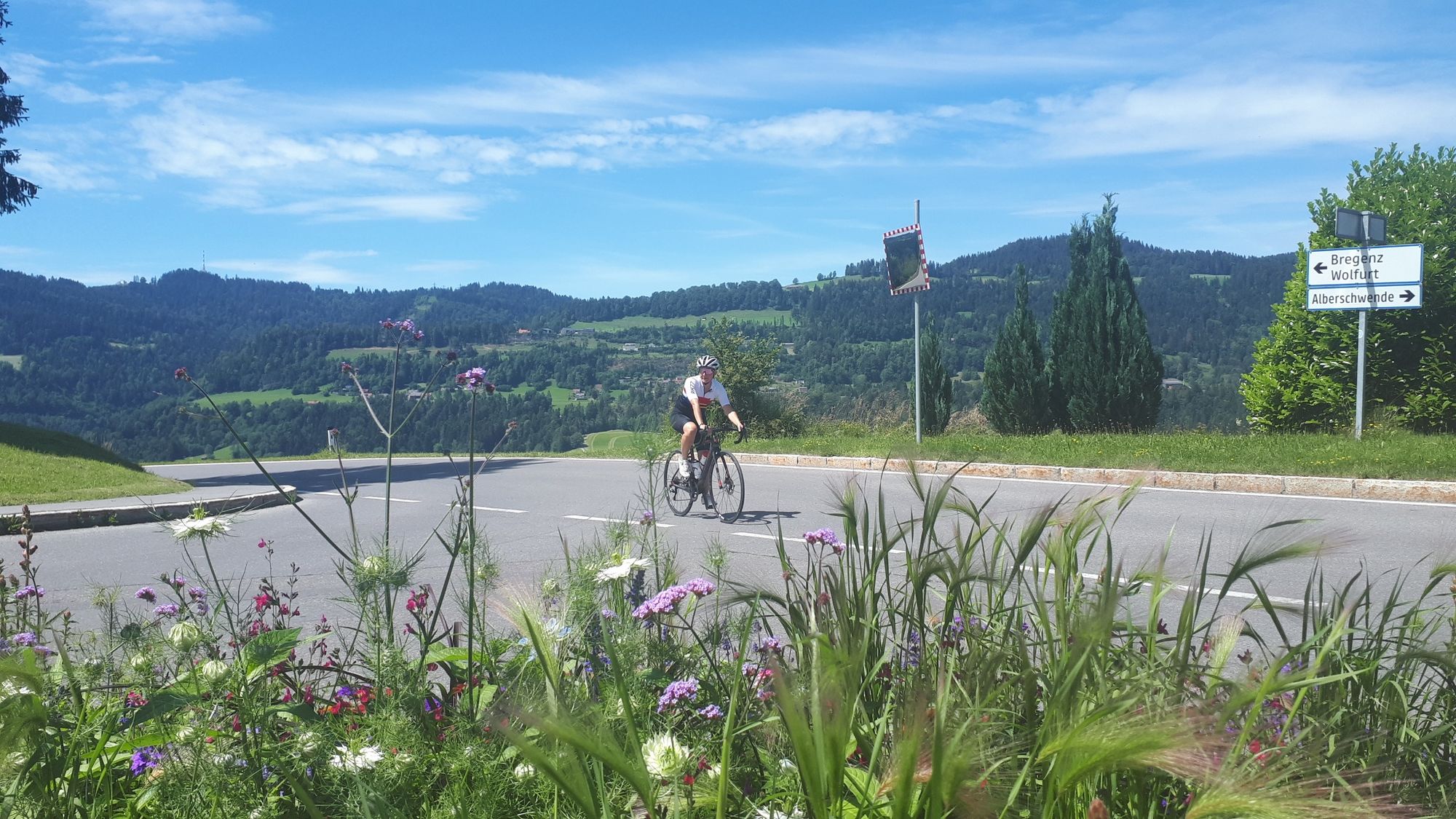
The tour starts with a proverbial “cold start”. The 18-km long climb to the Furkajoch (1,761 m) has 16% ramps in some parts of the start phase. Every metre higher you go rewards you with an even lovelier view of the valley and the massif. From the Furkajoch a fast, long and technically demanding downhill run awaits, taking you through the Laternsertal as far as Rankweil. In Rankweil, turn off to the left at the entrance to the L 190 and, after about 300 m, turn off to the right and cycle towards Meiningen as far as the border crossing into Switzerland. Follow the road as far as Altstätten centre. Turn off to the right towards Heiden. There now follows a leisurely climb to the highest point, St. Anton. Take time to enjoy the lovely view of Lake Constance and the Rhine Valley before you drive back downhill to the border crossing into Austria via Heiden, Oberegg and Rheineck. From Gaißau, take the road to Höchst, Fußach and Hard. From Hard, your best bet is take to the cycle path to Bregenz. Bregenz is shaped by Lake Constance and its proximity to the mountains, but the cultural offerings are also worth a visit. The Bregenz Festival is an internationally distinguished festival of culture and attracts many guests to Bregenz during the summer months. A short detour to the lake is always worthwhile. From the centre of Bregenz, take Kirchstraße (cobblestone street) as far as the crossroads, where you turn off to the left and take the road as far as Kennelbach. When you are leaving Kennelbach, turn off to the left towards Wolfurt and then again turn off to the left towards Buch. You now cycle uphill again, this time, however, with more leisurely inclines. The ride from Buch to Alberschwende is peppered with short climbs and downhill runs. In Alberschwende, turn off to the left and take the L 200 as far as Egg. In Egg, take the cycle path back to the starting point.
- Highest point
- 1,763 m
- Endpoint
-
Gemeindeamt Au/Alpenhotel Post
- Height profile
-

-

-
AuthorThe tour Au-Schoppernau | Furkajoch – Appenzell – Lake Constance is used by outdooractive.com provided.
GPS Downloads

Other tours in the regions