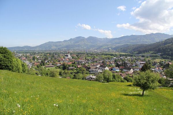
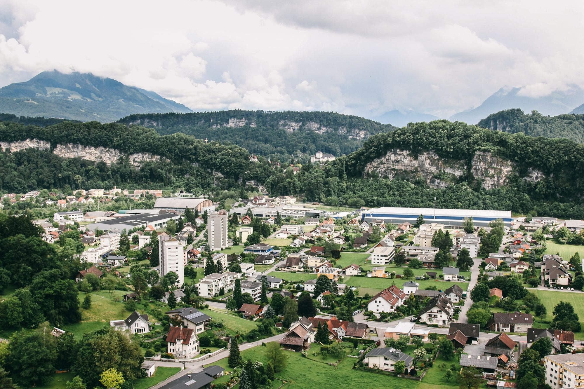
© Bodensee-Vorarlberg Tourismus GmbH - Nikolaus Skorpic

- Difficulty
-
easy
- Rating
-
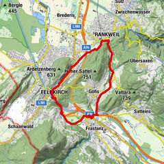
- Route
-
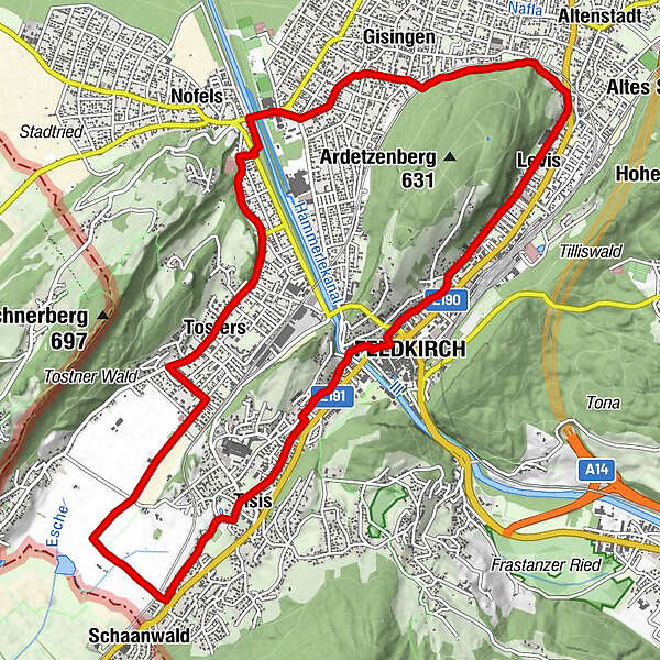
Stadtpfarrvikariatskirche Maria, Königin des Friedens1.7 kmLevis1.7 kmGisingen4.0 kmHelldone's Burriteria5.4 kmSt. Wolfgang6.2 kmGasthaus Löwen6.8 kmTosters7.3 kmSchaanwald10.3 kmTisis11.4 kmHeilig Kreuz Kapelle12.9 kmFeldkirch13.4 km
- Best season
-
JanFebMarAprMayJunJulAugSepOctNovDec
- Highest point
- 479 m
- Endpoint
-
Busplatz Feldkirch

- Author
-
The tour Ein Streifzug durch Feldkirchs Stadtteile is used by outdooractive.com provided.
GPS Downloads


General info
Refreshment stop
Other tours in the regions
-
St. Gallen - Bodensee
288
-
St. Galler Rheintal
101
-
Feldkirch
18