- Brief description
-
The Walgau cycle tour along the River Ill is perfect for connoisseurs.
- Difficulty
-
easy
- Rating
-
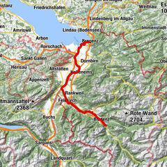
- Starting point
-
Bludenz
- Route
-
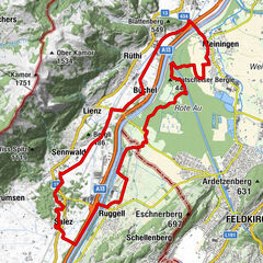
Bludenz0.0 kmUnterfeld6.0 kmLudesch8.1 kmThüringen9.5 kmSt. Anna9.5 kmTurbo Imbiss13.6 kmEl Toro Loco15.7 kmSchlins15.8 kmEinlis24.2 kmFreihof25.9 kmFelsenau26.3 kmFeldkirch27.2 kmFreihof28.4 kmEinlis30.2 kmBludenz49.5 km
- Best season
-
JanFebMarAprMayJunJulAugSepOctNovDec
- Description
-
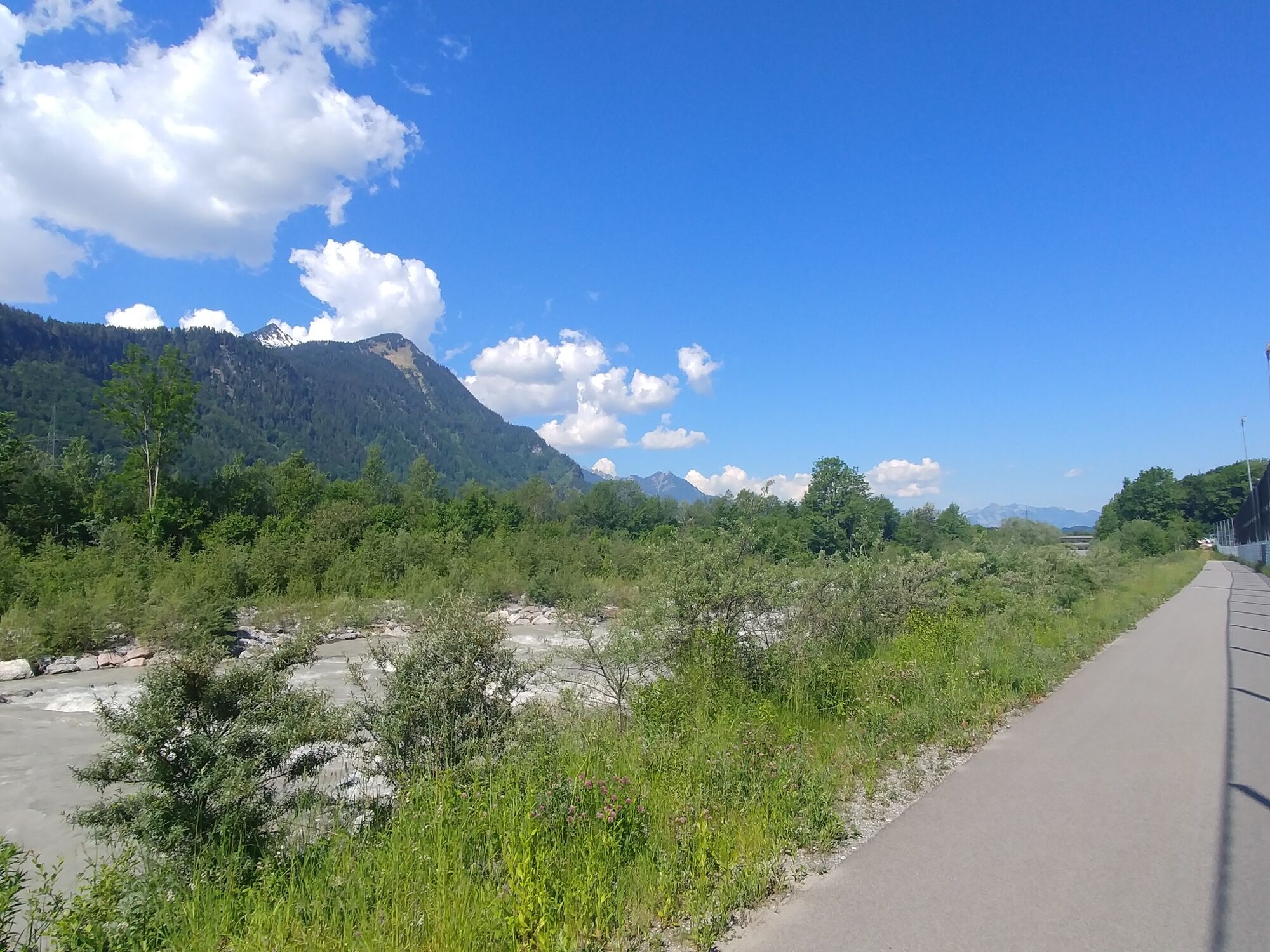
Two cycle paths lead through the Walgau from the Alpine town of Bludenz. One route usually remains to the right of the Ill and leads through riparian forests and meadows in Ludesch, Thüringen, Bludesch, Schlins and Satteins to Frastanz. The other one always stays near the left bank of the Ill and leads through the Tschalenga Au to Nenzing and through the Galina forest with its many quarry lakes to Frastanz. The two routes between Nenzing and the ÖBB stop Schlins are briefly identical. At Frastanz the paths reunite and lead in a large arch through the Felsenau and finally along the main road through the Felsenaut gorge into the town of Feldkirch.
- Directions
-
Bludenz - Ludesch - Thüringen - Bludesch - Schlins - Satteins - Frastanz - Feldkirch
Variante 2: Bludenz - Tschalenga Au - Nenzing - Galinawald - Franstanz - Feldkirch
- Highest point
- 559 m
- Endpoint
-
Feldkirch
- Height profile
-

- Equipment
-
Bicycle, helmet, rain and sun protection as well as snacks and enough water to drink. Mobile phone for emergencies.
- Safety instructions
- Directions
-
maps.google.at
- Public transportation
- Parking
-
Public parking lot in Bludenz

- Author
-
The tour Walgau cycle path | Walgau is used by outdooractive.com provided.


General info
-
St. Gallen - Bodensee
289
-
Brandnertal
104
-
Nenzing
12