- Brief description
-
Leisurely cycle tour from Bludenz, always along the Ill, into the Montafon.
- Difficulty
-
easy
- Rating
-
- Starting point
-
Bludenz
- Route
-
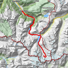
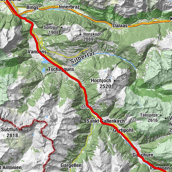
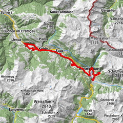
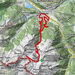
Bludenz0.2 kmLorüns3.8 kmSankt Anton im Montafon6.5 kmVandans7.9 kmTschagguns11.9 kmStiefen15.4 kmHof17.5 kmGortniel18.0 kmBadmunt19.1 kmGalgenul20.2 kmSt. Gallenkirch21.1 kmGarfrescha I (872 m)22.4 kmGortipohl23.5 kmBeacheria25.5 kmGaschurn27.6 kmPartenen (1,051 m)30.4 kmPfarrkirche Partenen30.4 kmGaschurn34.5 kmBeacheria36.4 kmGortipohl38.5 kmGarfrescha I (872 m)39.7 kmSt. Gallenkirch40.9 kmGalgenul41.8 kmBadmunt43.0 kmGortniel44.1 kmHof44.6 kmStiefen46.7 kmTschagguns50.2 kmVandans54.1 kmSankt Anton im Montafon55.6 kmLorüns58.3 kmBludenz62.0 km
- Best season
-
JanFebMarAprMayJunJulAugSepOctNovDec
- Description
-
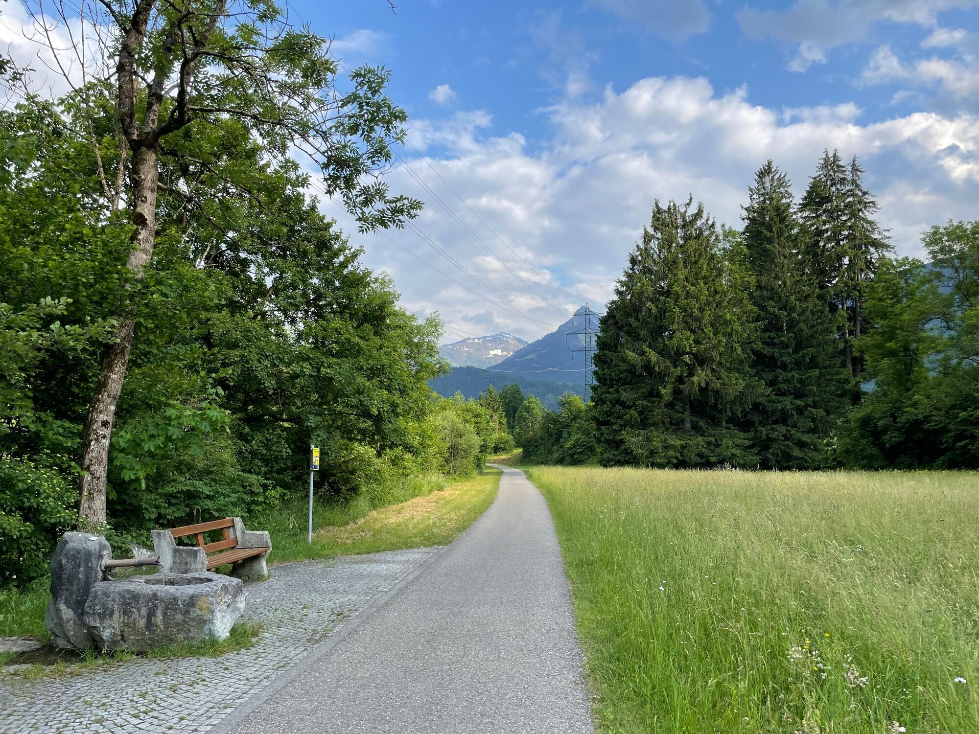
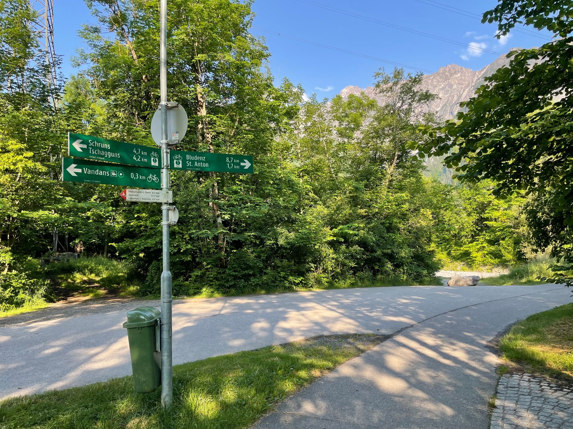
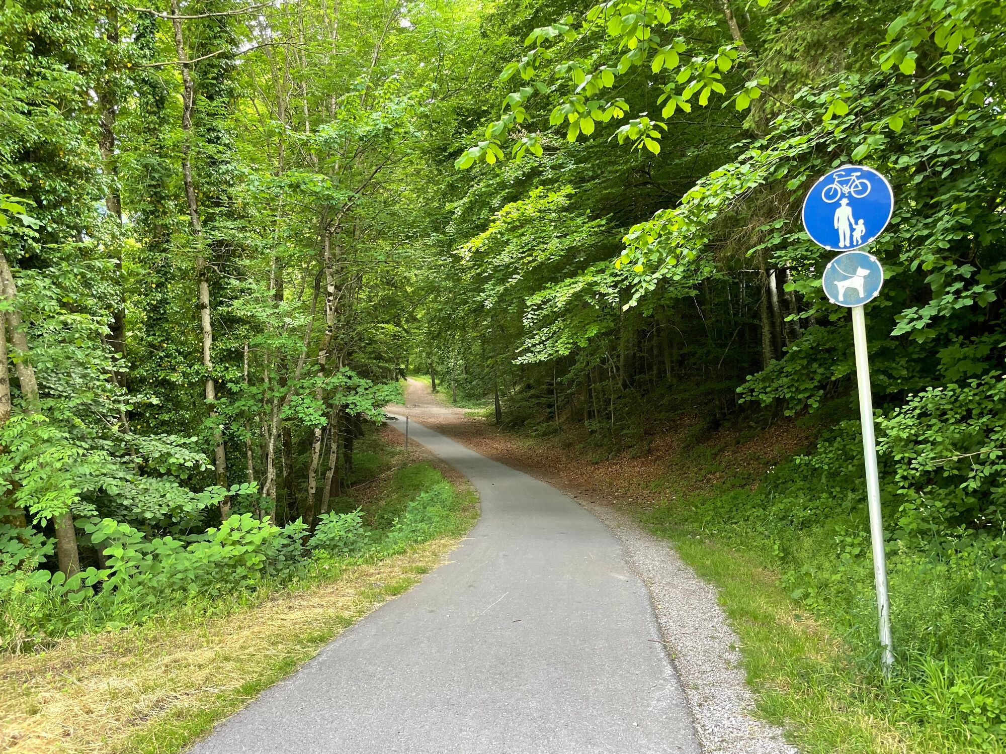
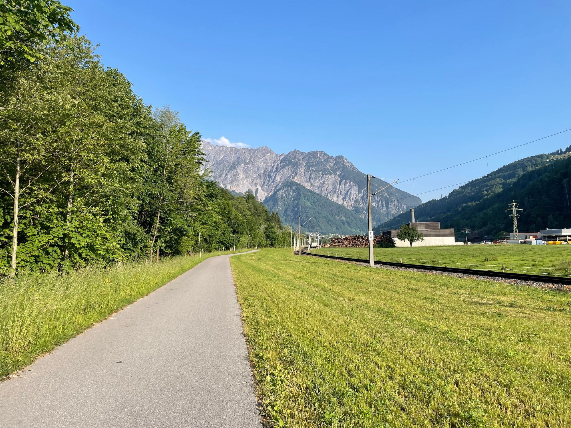
From Bludenz it goes first along the Ill to Brunnenfeld. From the junction at the Bludenz-Montafon motorway exit, take secondary roads through Lorüns, then briefly along the main road and then shadily along the Ill into the valley. You pass Vandans and the large compensating basins at Rodund power station and arrive at the beginning of Schruns and Tschagguns. The cycle path remains very close to the Ill. Shortly before Galgenul it touches the main road, then one drives on again in the valley floor. You pass St. Gallenkirch and Gortipohl and reach Gaschurn. The road to Partenen continues along the main road. The return journey is the same way. From Schruns you can take the Montafonerbahn back to Bludenz.
- Directions
-
Bludenz - Brunnenfeld - Lorüns - Vandans - Gantschier - Schruns/Tschagguns - St. Gallenkrich - Gortipohl - Gaschurn - Partenen - return via the same route or alternatively by bus and the Montafonerbahn
- Highest point
- 1,069 m
- Endpoint
-
Partenen or Bludenz
- Height profile
-

- Equipment
-
Mountain bike, helmet, rain or sun protection, small snacks and enough water to drink. Mobile phone in case of emergency.
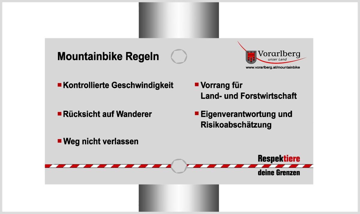
- Safety instructions
- Directions
-
Car or public transport
- Public transportation
- Parking
-
Parking areas in Bludenz
- Author
-
The tour Montafon cycle path is used by outdooractive.com provided.


General info
-
Montafon
60
-
Schruns - Tschagguns
41


")