© Bregenzerwald Tourismus - Sebastian Stiphout

© Bregenzerwald Tourismus - Christoph Lingg

© Bregenzerwald Tourismus - Sebastian Stiphout

© Egg Tourismus - Paulina Gottschalk

© Egg Tourismus - Paulina Gottschalk

© Bregenzerwald Tourismus - Emanuel Sutterlüty

© Bregenzerwald Tourismus - Nora Fröhlich

© Egg Tourismus - Paulina Gottschalk

© Bregenzerwald Tourismus - Sebastian Siphout

© Bregenzerwald Tourismus - Oostenrijk TV

- Brief description
-
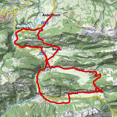
A longer, beautiful e-bike trip from Egg to Schönenbach and over the Stogger Sattel to Au and back to the starting point.
- Rating
-
- Route
-
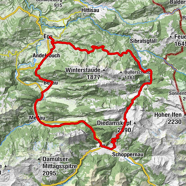
EggEggatsbergvorsäß11.2 kmVorsäß Hammeratsberg11.6 kmVorsäß Rehenberg12.5 kmHinterer Leugehr (942 m)16.8 kmSubersach Wasserfall16.9 kmSchönenbach21.4 kmStoggersattel (1,415 m)25.7 kmBerbigen Vorsäß27.6 kmRehmen30.9 kmNeugrund31.4 kmLisse32.3 kmAu (800 m)32.4 kmSchnepfau36.4 kmEnge39.3 kmTanna40.6 kmAchsiedlung41.4 kmHinterbündt41.5 kmNaze's Hus41.8 kmMellau41.8 kmTempel41.8 kmMoos41.9 kmPlatz41.9 kmPfarrkirche Mellau42.0 kmRistorante Pizzeria Sandro42.1 kmÜbermellen42.3 kmZimmerau42.6 kmIn der Mellen42.9 kmKlaus43.6 kmReuthe45.1 kmEllenbogen45.9 kmDost Kebap46.4 kmKatrina46.5 kmKlosterkirche Bezau46.9 kmGasthof Hirschen46.9 kmBezau47.0 kmSt. Jodokkirche47.1 kmGasthof Engel47.2 kmBrau47.7 kmBezegg (780 m)49.1 kmUnterbezegg51.2 kmAndelsbuch52.0 kmPfarrkirche Andelsbuch52.3 kmWasserfälle Brühlbach53.3 kmEgg55.5 km
- Best season
-
JanFebMarAprMayJunJulAugSepOctNovDec
- Description
-
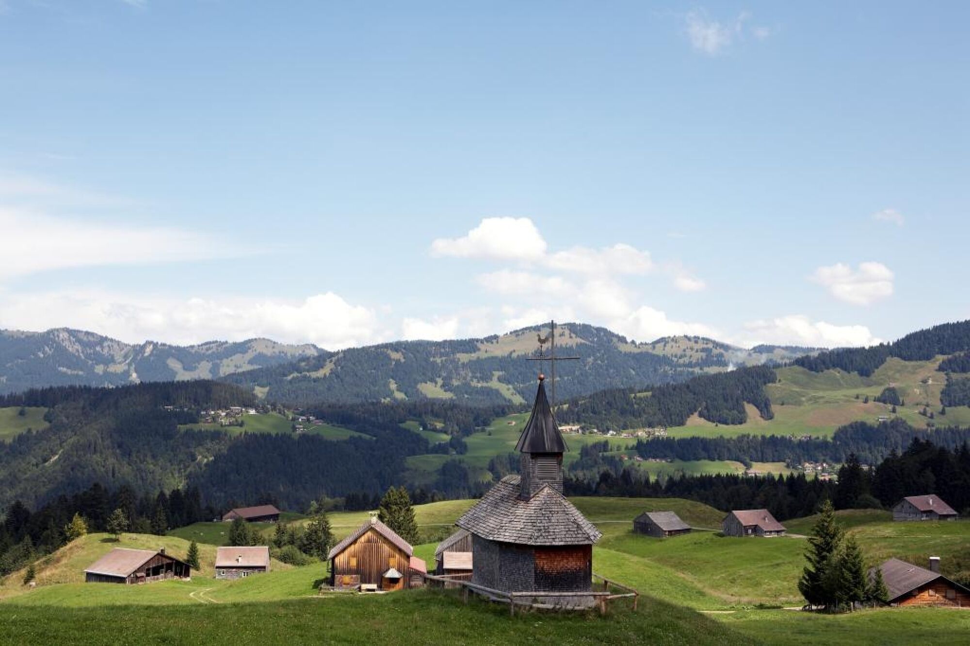
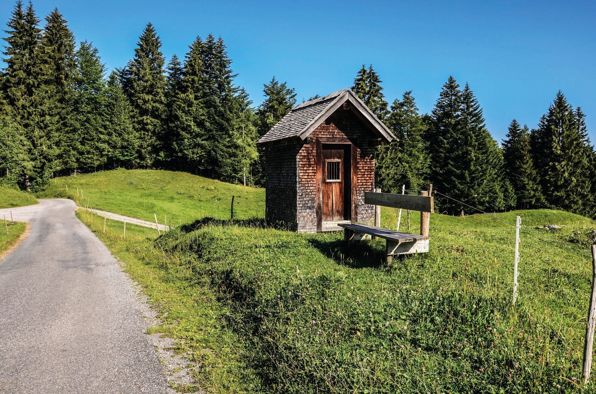
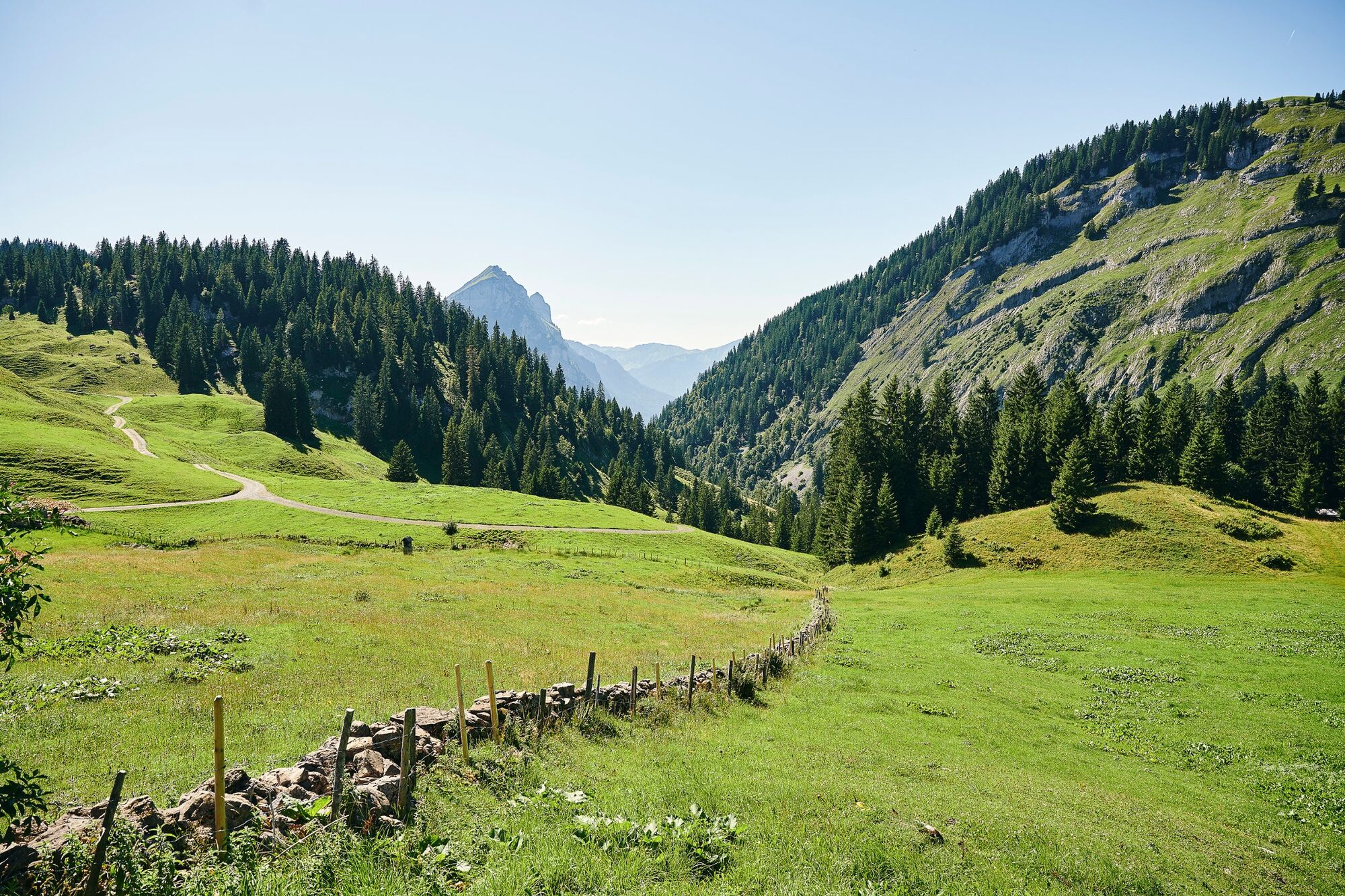
The route commences with short, steep climbs from the Impulszentrum through Ebenwald to Schetteregg. From there, it continues through the beautifully situated alpine settlements of Eggatsberg (1,090 m) and Hammeratsberg to the alpine area of Egg. After the Leugehralpe, it crosses the wildly romantic Subersach gorge and continues without much variation in altitude along a freight trail to the large alpine settlement of Schönenbach, which boasts many huts and a chapel. The ascent through the Osterguntenalpe up to the Stogger Sattel (1,440 m) then follows. The route continues with an initially steep descent on the Alpweg, which is then followed by a pleasant descent on a narrow asphalt road to Au.
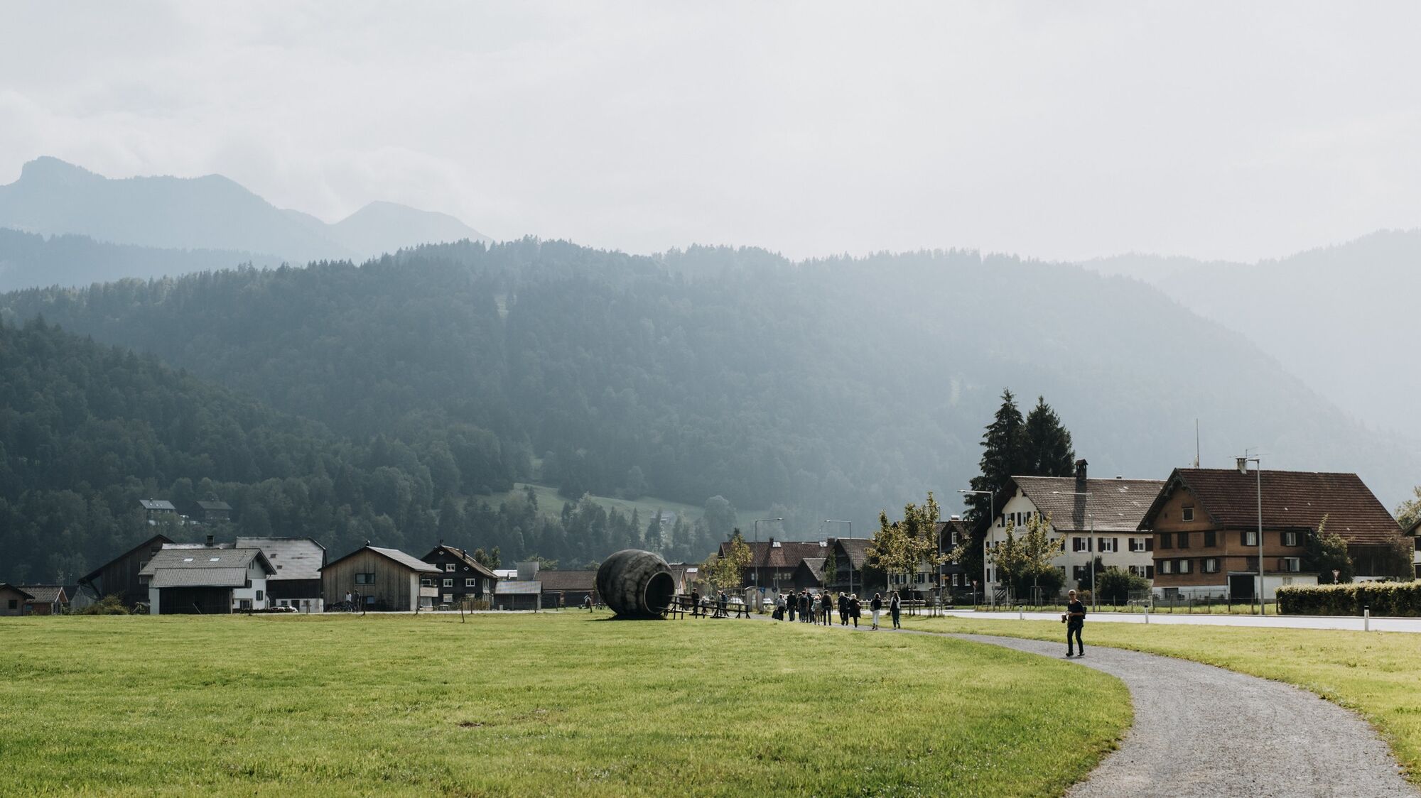
The Bregenzerwald cycle path follows the Bregenzerach through Schnepfau into Enge alpine settlement near Mellau and on to Bezau along the road. From there, it continues uphill again to Bezegg (the ‘Bezegg-Sul’ is a commemoration of the site of the town hall of the former ‘Wälderrepublik’ (‘Forest Republic’) and then downhill to Andelsbuch and along the cycle path back to Egg.
- Highest point
- 1,433 m
- Endpoint
-
Egg Impulszentrum
- Height profile
-


- Author
-
The tour Egg | Hinterwald round trip is used by outdooractive.com provided.
GPS Downloads


General info
Refreshment stop
A lot of view
Other tours in the regions
-
Bregenzerwald
133
-
Bizau
36