
- Brief description
-
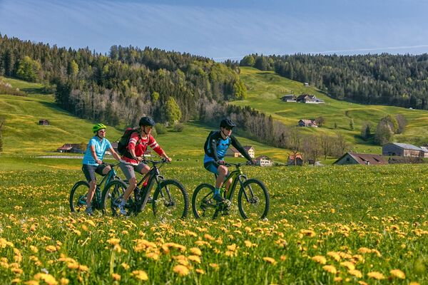
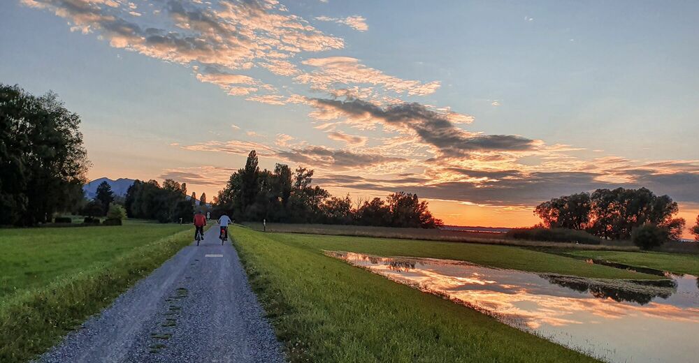
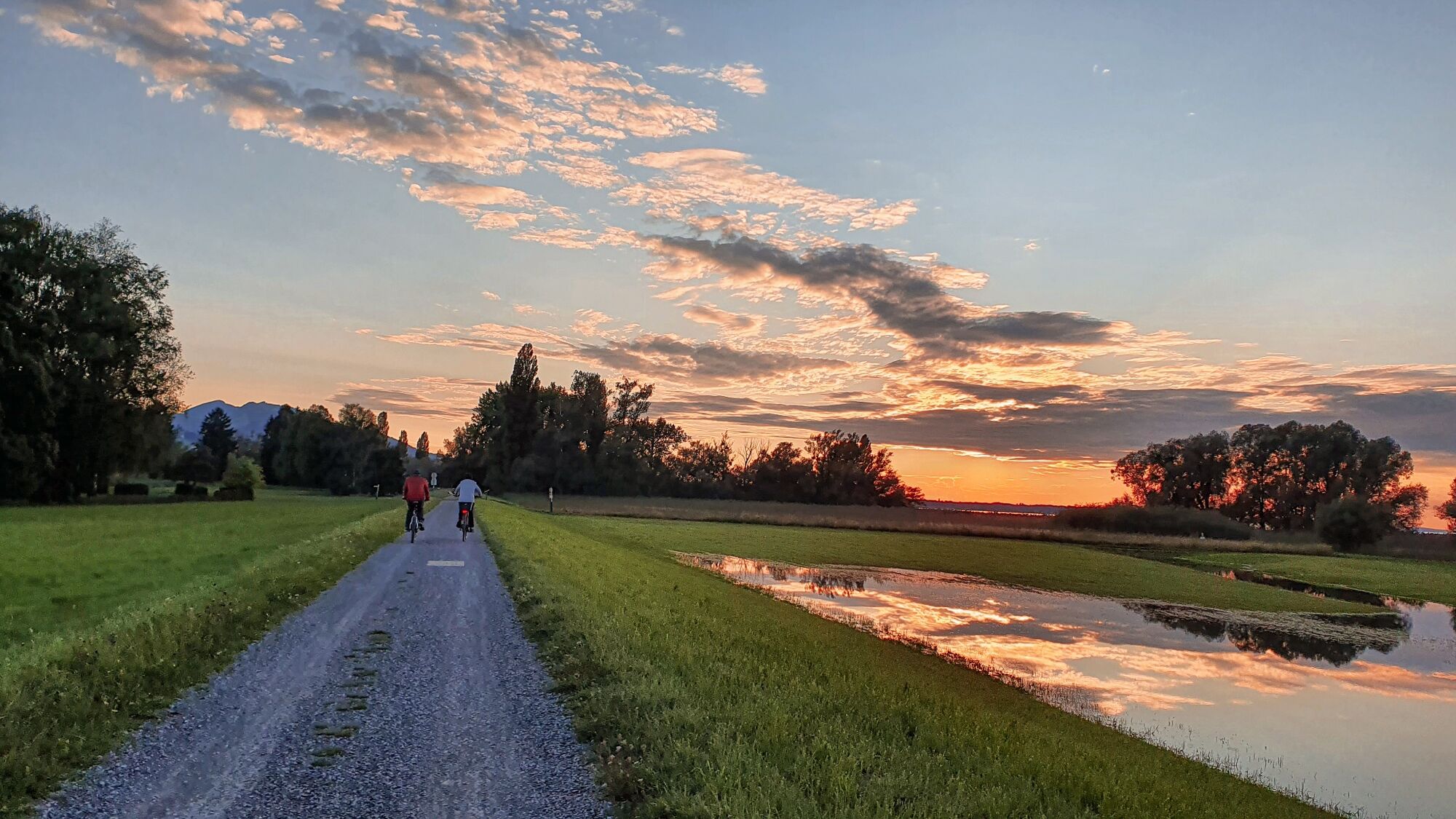
A cycling trip through a beautiful natural landscape.
- Difficulty
-
easy
- Rating
-
- Route
-
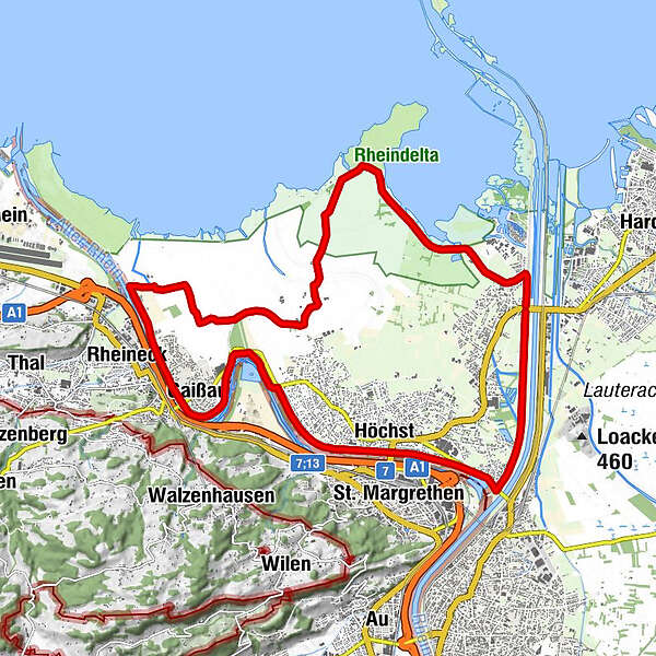
FußachBruggerhorn3.2 kmHöchst4.7 kmSchlittenhügel (Winter, inoffiziell)9.0 kmSchlittenhügel (Winter, inoffiziell)9.3 kmGaißau9.7 kmRheineck (400 m)10.5 kmSteakhaus Patagonia11.3 kmYachtklub Wetterwinkel11.5 kmFußach21.4 km
- Best season
-
JanFebMarAprMayJunJulAugSepOctNovDec
- Description
-
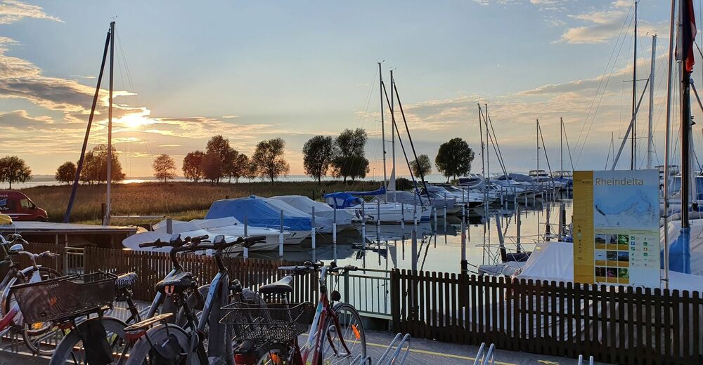
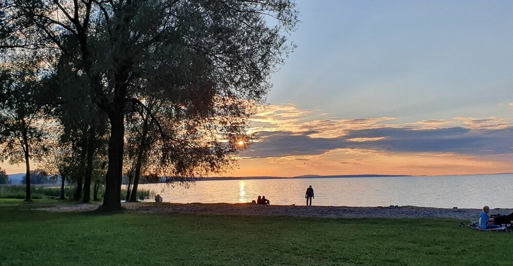
The trip takes in two picturesque natural bathing spots: it’s possible to take a cooling dip in the Bruggerloch or at the Rohrspitz directly on Lake Constance. A charming place for bathing in the shade of the trees and refreshment facilities await at the latter. The Rheindeltahaus, the Rheindelta nature reserve’s information centre in Fußach, is worth a visit. The route takes cyclists through aspects of the Rhine delta that, with an area of 2,000 hectares, is the largest wetland in the Lake Constance region. Becoming one with nature and its great biodiversity is easy to do here.
- Directions
-
The route continues along the Rhine embankment from the Rhine bridge in Fussach towards Lustenau. It takes a right at the level of the Rhine bridge between Höchst and Lustenau. On the marked cycle path, it passes the Bruggerloch natural bathing spot, continues along the Alter Rhein, past the Zollamt Höchst, to Gaißau and Gasthaus Schiffle (Inn). It then takes a right towards the Rhine delta, through the nature reserve, to Seerestaurant Salzmann. The cycle path leads back to Fußach from there.
- Highest point
- 405 m
- Endpoint
-
Rheinbrücke Fussach - Hard
- Height profile
-


-

-
AuthorThe tour Rhine delta tour is used by outdooractive.com provided.


General info
-
St. Gallen - Bodensee
288
-
Bodensee - Vorarlberg
168
-
Höchst
43