- Brief description
-
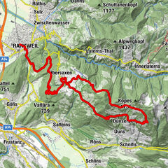
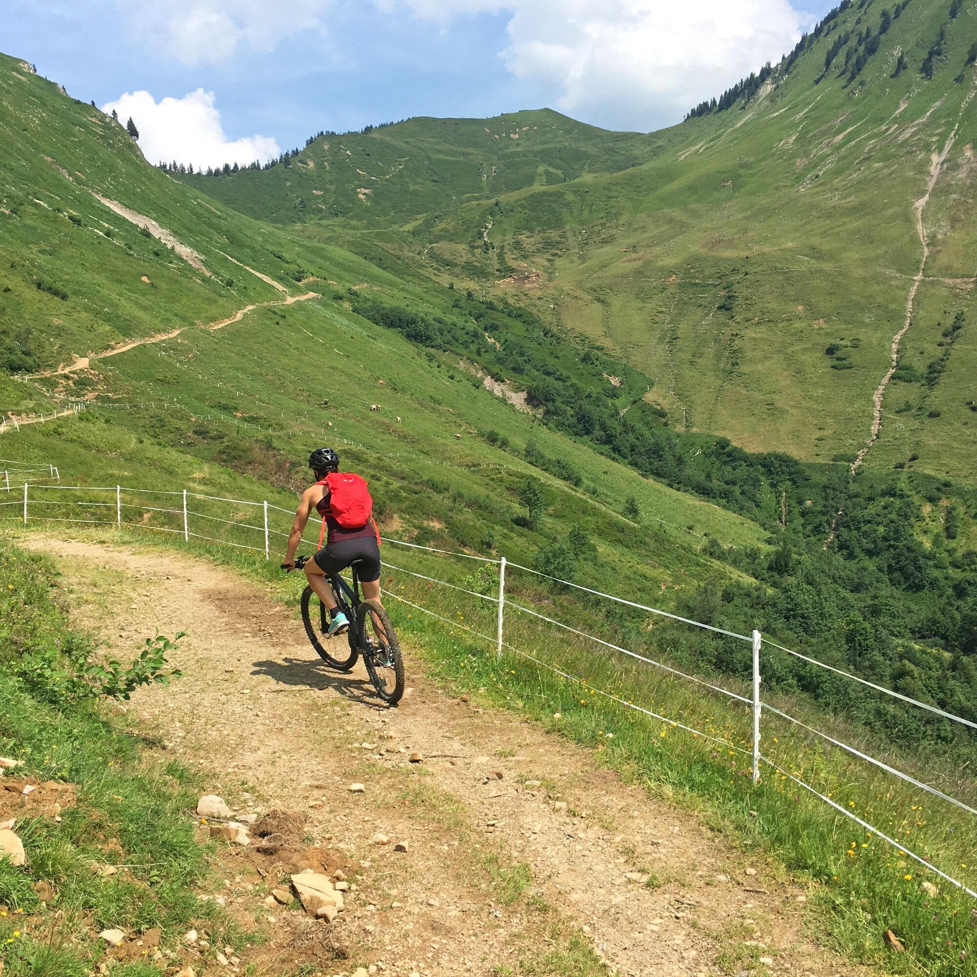
Panoramic mountain bike tour past the Gaßner Alpe and the Plansott Alpe in the Großes Walsertal Biosphere Reserve.
- Difficulty
-
medium
- Rating
-
- Starting point
-
Community centre, St. Gerold
- Route
-
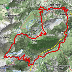
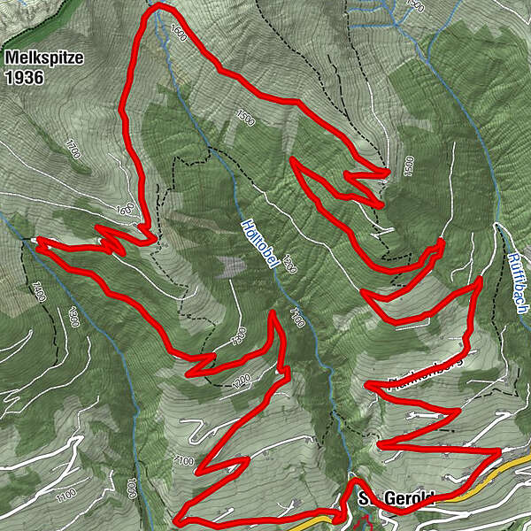
St. Gerold0.1 kmGaßnerberg2.5 kmGaßneralpe6.7 kmPlazgadena7.8 kmPlansottalpe (1,558 m)9.2 kmBündten (1,312 m)11.8 kmPlankenberg14.2 kmSt. Gerold15.7 km
- Best season
-
JanFebMarAprMayJunJulAugSepOctNovDec
- Description
-
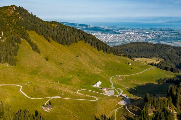
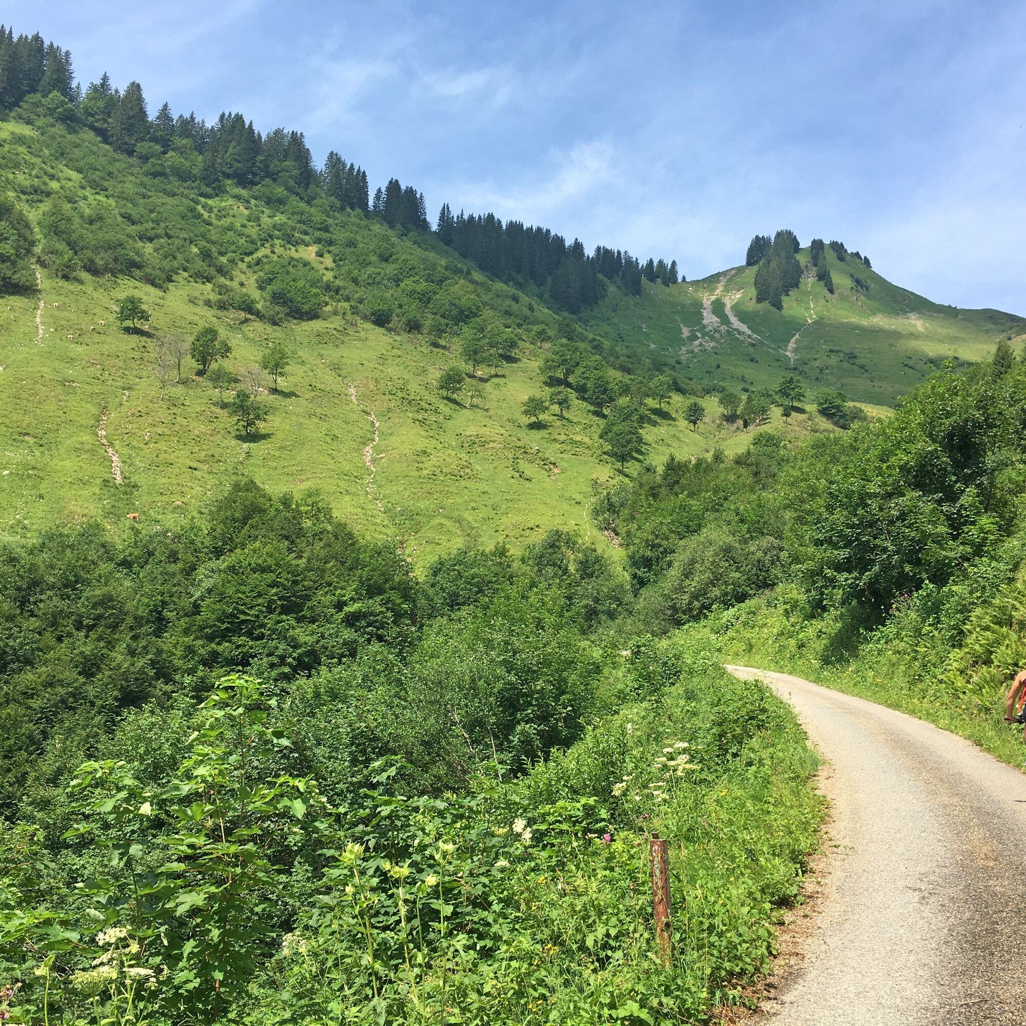
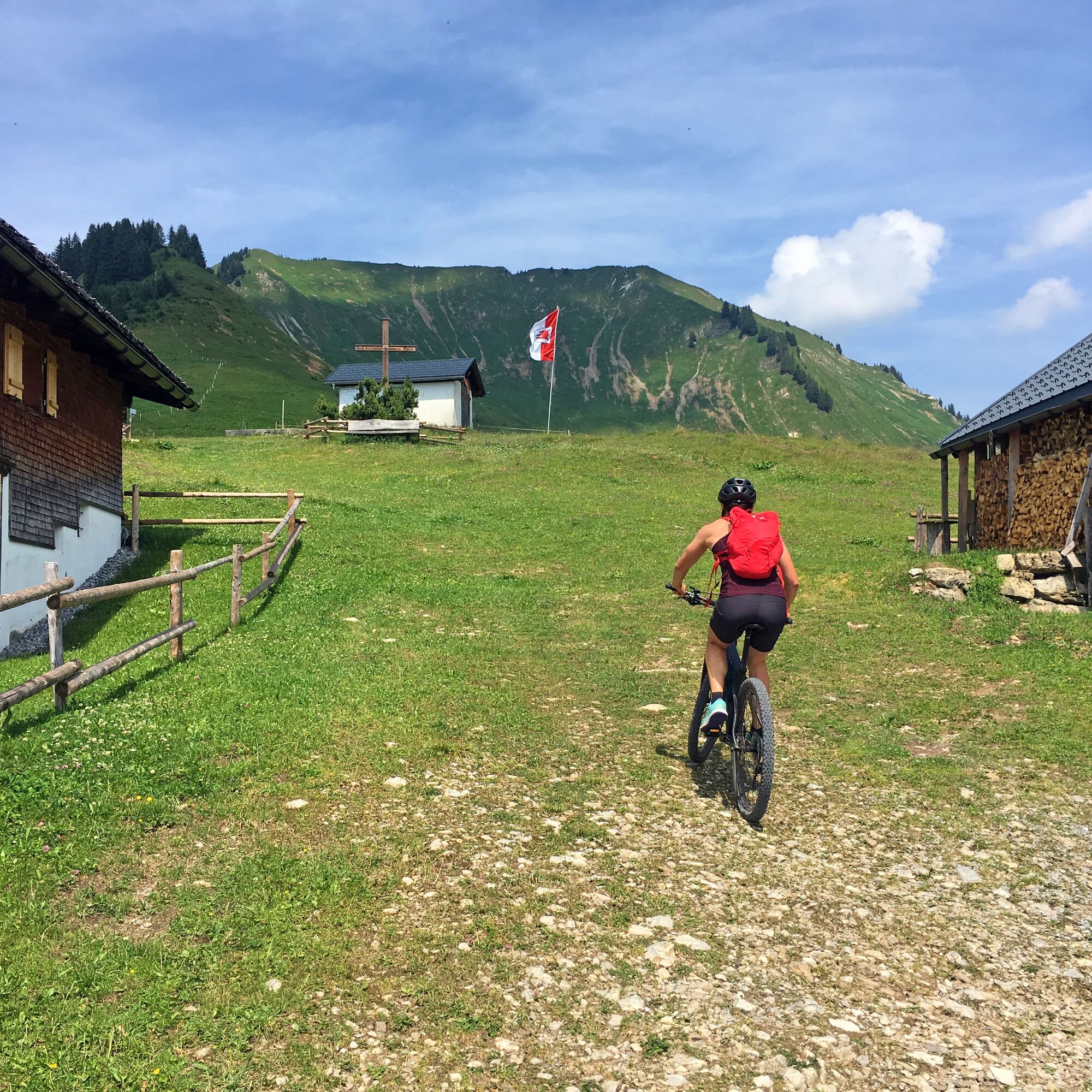
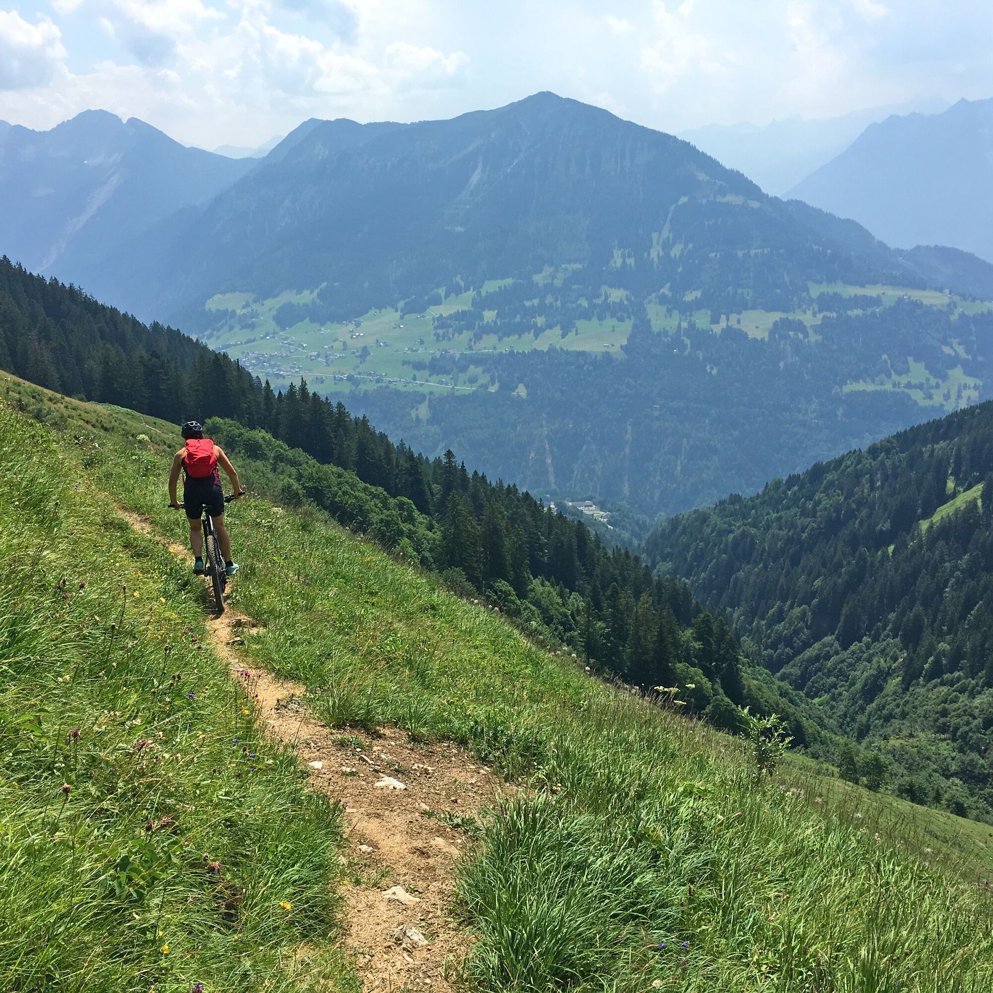
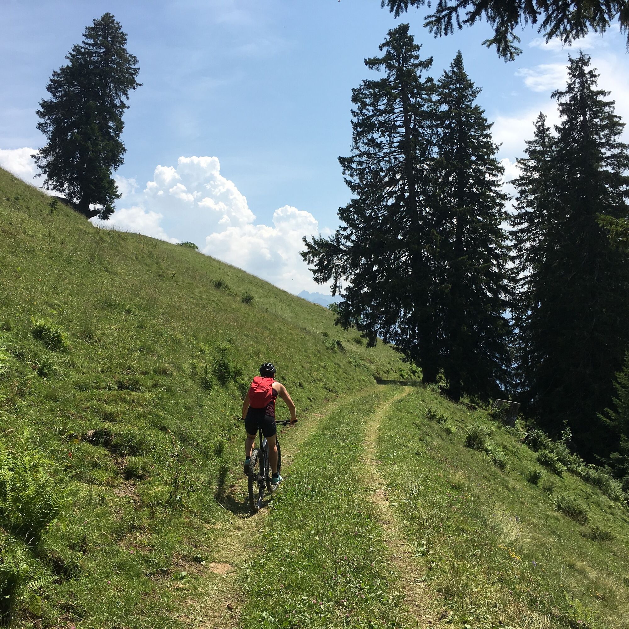
The MTB tour starts at the municipal office in St. Gerold. From there, the route leads over the Gaßnerberg up to the Gaßner Alpe. On an easy single trail, you circle the Hölltobel below the Gerenspitze and then reach the Plansott Alpe. The route back to St. Gerold is then gentle along the goods road.
- Directions
-
Community centre, St. Gerold - Gaßnerberg - Gaßner Alpe - Platzgadena - Plansott Alpe - Plankenberg - community centre, St. Gerold
- Highest point
- 1,631 m
- Endpoint
-
Community centre, St. Gerold
- Height profile
-

- Equipment
-
Mountain bike, helmet, rain or sun protection as well as small food and sufficient water.
- Safety instructions
- Tips
-
At the far end of the Hölltobel (Platzgadena), the Gerenspitze invites you to a small summit climb.
- Directions
-
maps.google.at
- Public transportation
- Parking
-
Public parking lot in St. Gerold


- Author
-
The tour 2-Alps-Tour | St. Gerold is used by outdooractive.com provided.


")

")