- Brief description
-
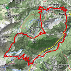
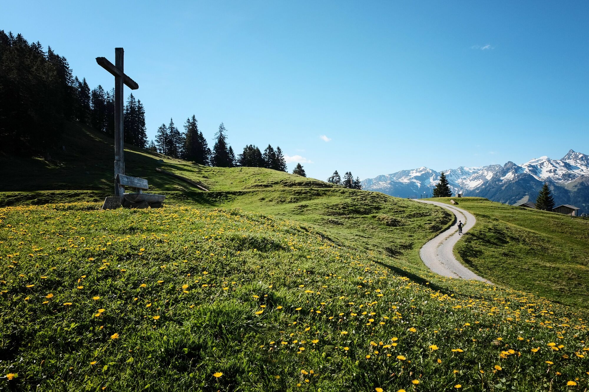
In einer großen Schleife wird der Itonskopf in verschiedenen Streckenbeschaffenheiten umrundet. Diese reichen von der geschotterten Straße in der Bergauf-Passage bis hin zu einer herrlichen Singletrailabfahrt.
- Difficulty
-
difficult
- Rating
-
- Route
-
Tschagguns0.9 kmSchruns (681 m)2.1 kmLitzkapelle2.4 kmDaneu4.7 kmBartholomäberg6.4 kmPfarrkirche Bartholomäberg6.5 kmWorms8.8 kmGasthof Rellseck10.8 kmAlplegi (1,802 m)13.6 kmAlpe Latons15.0 kmGarsella22.5 kmWorms24.4 kmBartholomäberg26.7 kmPfarrkirche Bartholomäberg26.7 kmDaneu28.3 kmLitzkapelle30.9 kmSchruns (681 m)31.1 km
- Best season
-
JanFebMarAprMayJunJulAugSepOctNovDec
- Highest point
- 1,799 m
- Endpoint
-
Aktivpark Montafon Schruns - Tschagguns
- Height profile
-

-

-
AuthorThe tour Itonskopf Tour is used by outdooractive.com provided.
GPS Downloads


Surfaces
Trial
General info
Refreshment stop
A lot of view
Other tours in the regions
-
Montafon
228
-
Bartholomäberg
72
")