


- Brief description
-
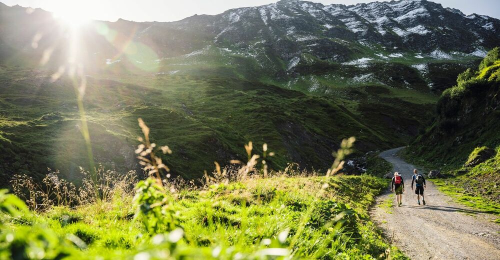
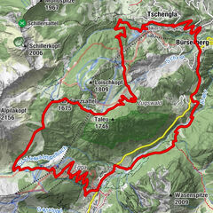
Aktivpark Montafon – Tschagguns – Bitschweil – Gampadelstal – Fischkalter - Tilisunaalpe – retour (gleiche Strecke)
- Difficulty
-
difficult
- Rating
-
- Route
-
Tschagguns1.1 kmTschagguns28.4 km
- Best season
-
JanFebMarAprMayJunJulAugSepOctNovDec
- Highest point
- 1,969 m
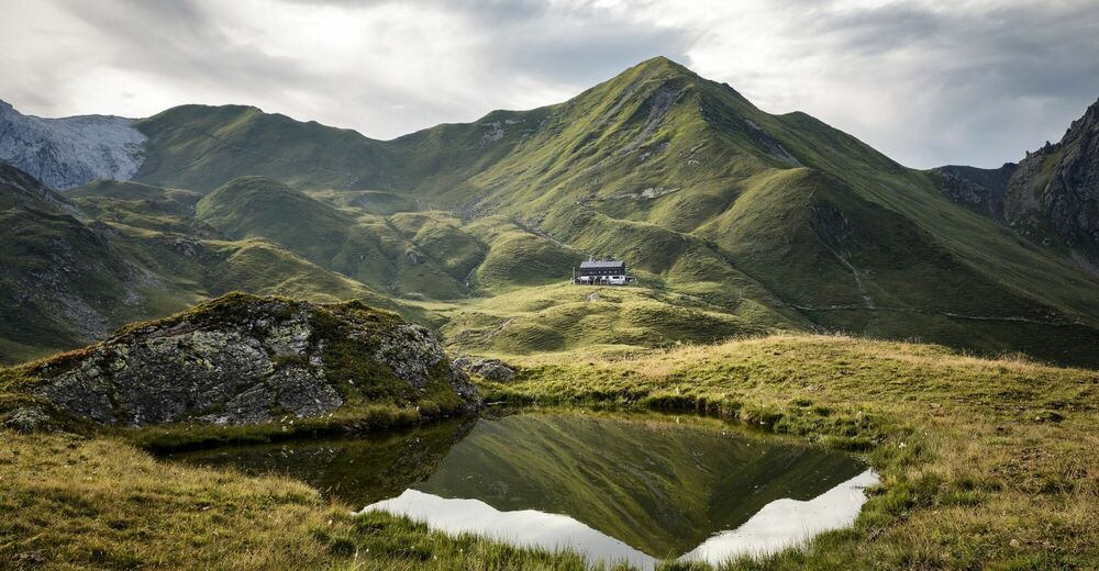
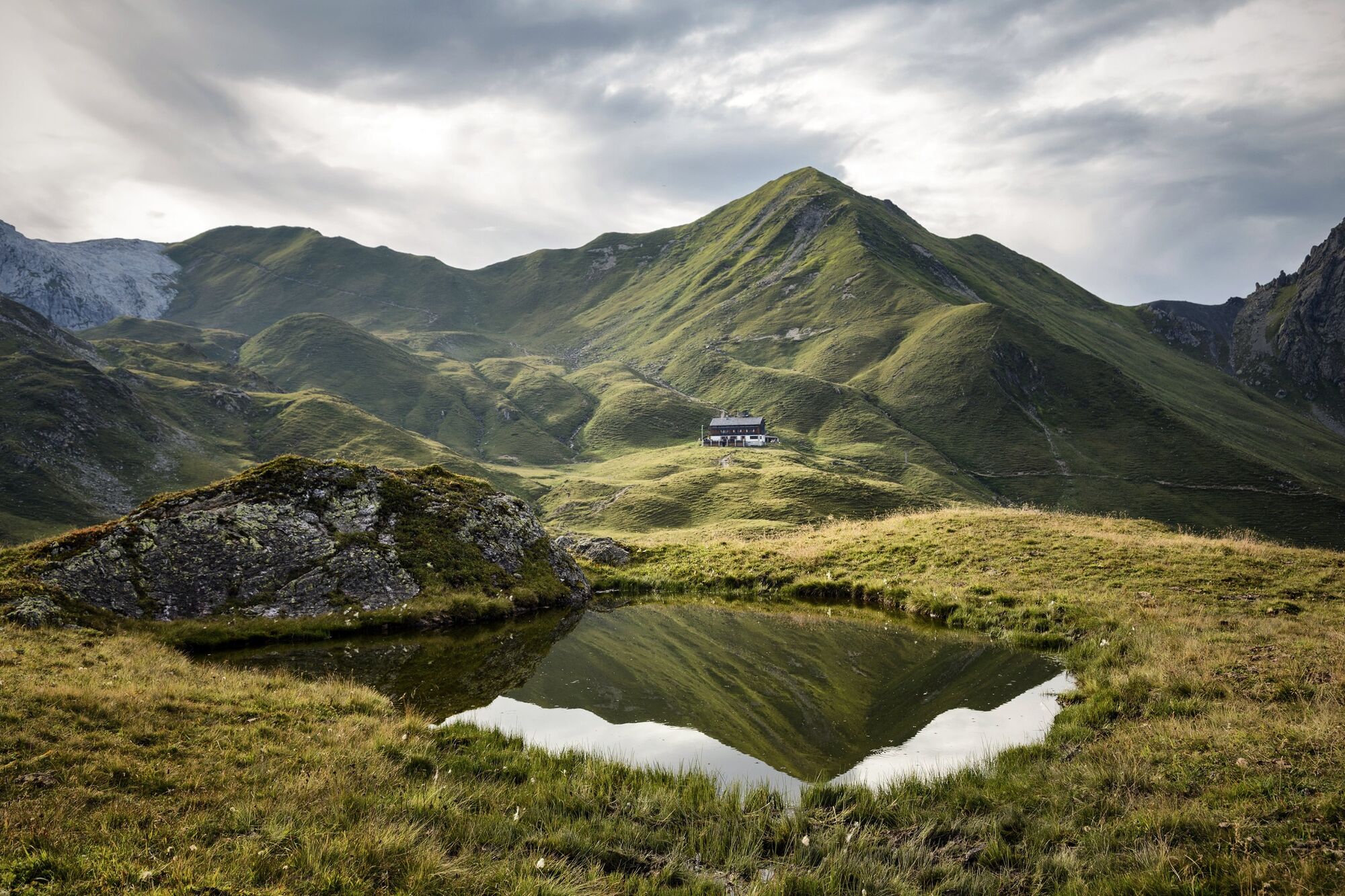
- Endpoint
-
Aktivpark Montafon, Schruns-Tschagguns
- Height profile
-


-

-
AuthorThe tour Alpe Tilisuna Tour is used by outdooractive.com provided.
GPS Downloads


General info
Refreshment stop
Other tours in the regions
-
Montafon
232
-
Schruns - Tschagguns
68


")


")
