


- Brief description
-
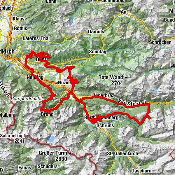
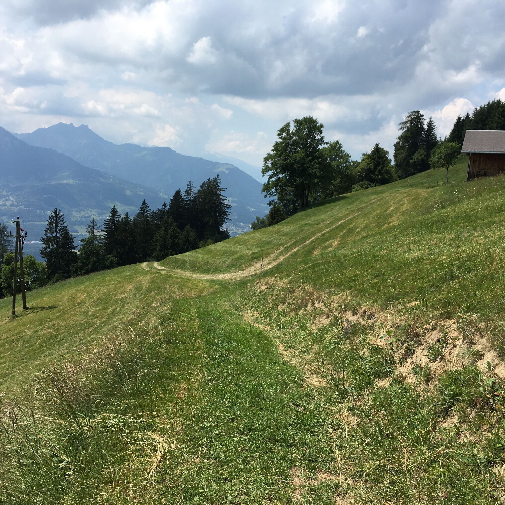
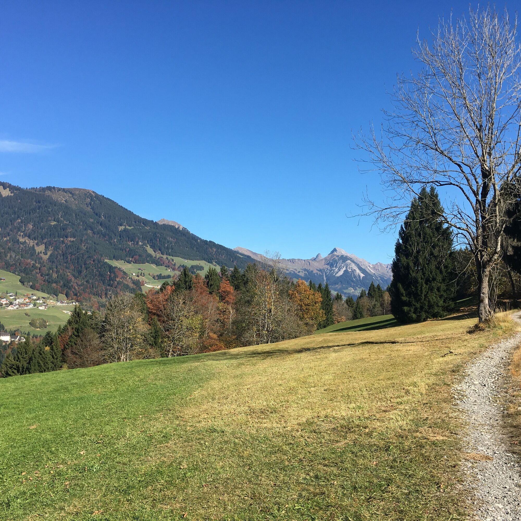
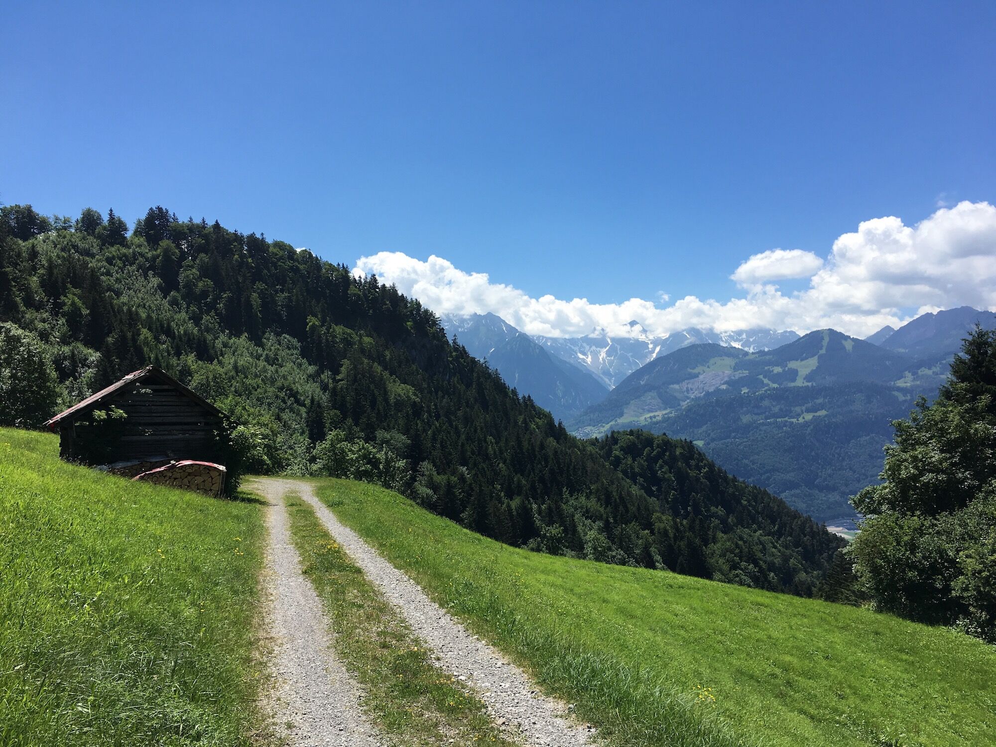
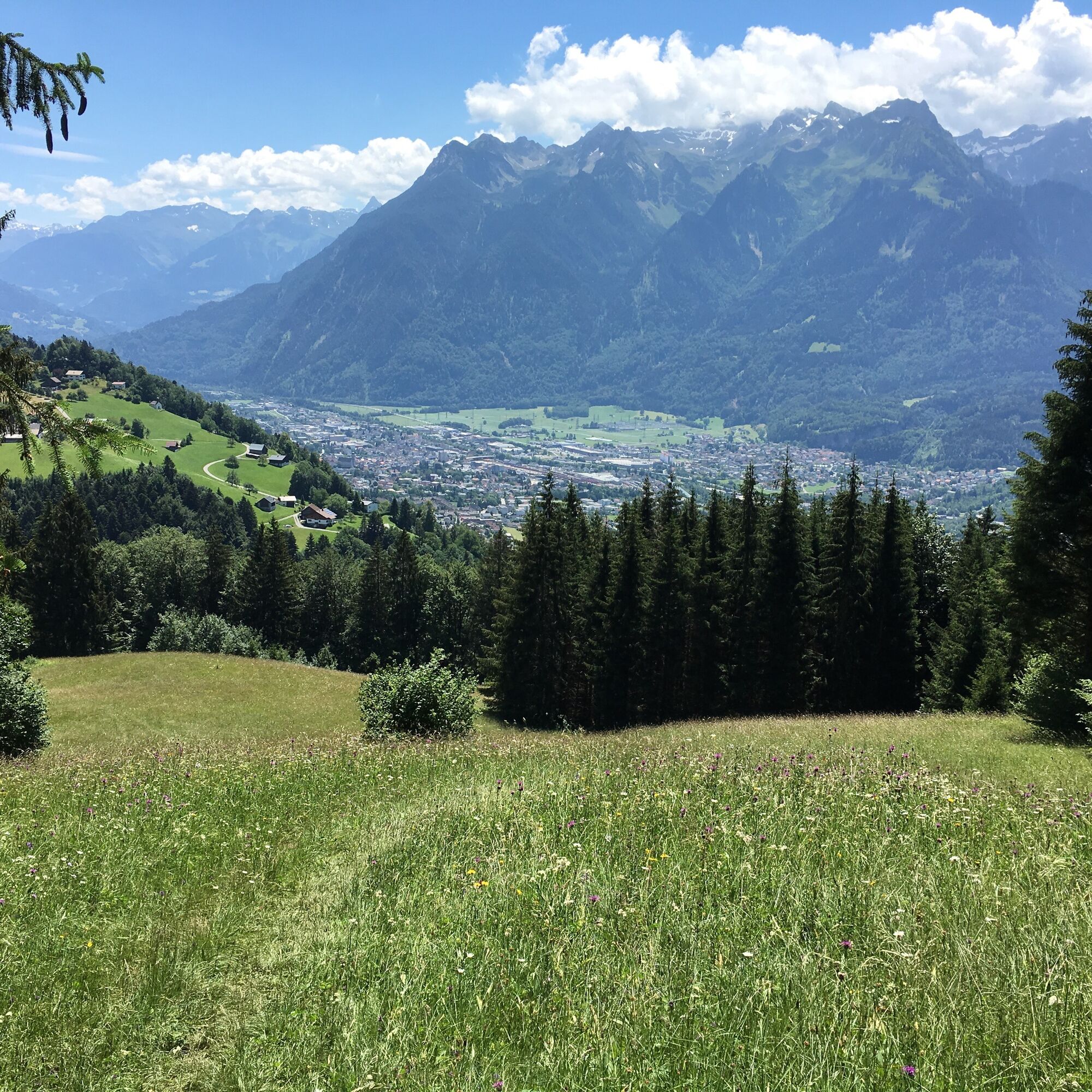
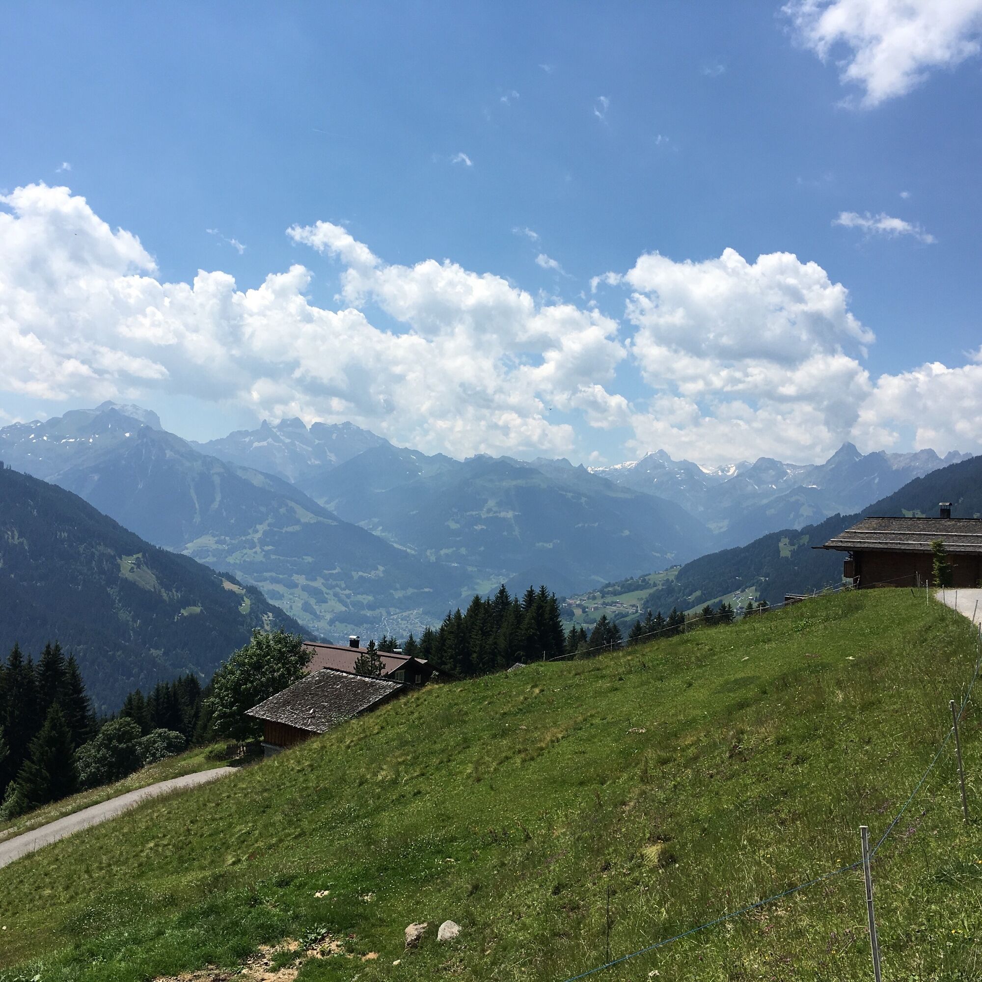
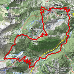
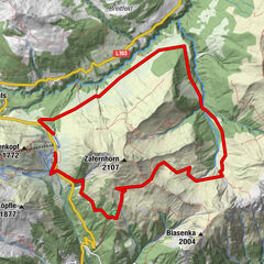
The 5-Valley Mountain Bike Tour connects the valleys around Bludenz in 4 stages and offers great views of the Rätikon, Verwall and Lechquellen mountains and over the Rhine Valley.
- Difficulty
-
medium
- Rating
-
- Starting point
-
Bludenz
- Route
-
Bludenz (558 m)0.0 kmBludenz0.4 kmGasthof Stern1.5 kmBürs1.5 kmRestaurant Rosenegg1.5 kmDorfbahn - Talstation10.8 kmNiggenkopfbahn II13.3 kmParpfienzsattel (1,675 m)18.0 kmBergstation Tschengla21.8 kmUnicorn Restaurant25.1 kmTschengla25.5 kmSchwabenhaus25.6 kmRonaalpe26.5 kmGasthof Rössle36.1 kmNenzing36.1 kmBeschling37.4 kmSchlins39.0 kmPfarrkirche Heiliger Georg42.6 kmSatteins42.7 kmLourdes Kapelle43.4 kmBuchholz (870 m)46.5 kmKapelle Heiliger Benedikt50.7 kmGerachhaus54.6 kmMeßstetter Hütte54.6 kmDünser Älpele55.3 kmHensler (1,339 m)57.4 kmHenslerstüble (1,340 m)57.5 kmPfänder (1,338 m)58.5 kmKapelle Heiliger Benedikt60.0 kmDünserberg61.9 kmDüns (753 m)63.4 kmPfarrkirche Heiliger Antonius Abt63.4 kmSchnifis66.7 kmMontil71.6 kmThüringen71.8 kmAriana Restaurant72.2 kmLudesch73.1 kmLudescherberg79.0 kmMadeisakopf (1,402 m)87.9 kmAlpengasthof Muttersberg87.9 kmMuttersberg89.0 kmOberes Bild90.2 kmBludenz (558 m)95.7 kmBludenz96.3 kmStallehr100.3 kmBings100.4 kmRadin101.9 kmInnerbraz (708 m)105.2 kmGavril106.5 kmKrone111.3 kmPaluda111.6 kmHeilig-Kreuz-Kirche112.0 kmDalaas (835 m)112.0 kmWald am Arlberg115.5 kmSonnenkopfbahn116.8 kmVerbindungslift116.9 kmBergrestaurant Sonnenkopf116.9 kmSonnenkopfbahn (1,578 m)117.9 kmSattelkopf (1,841 m)118.6 kmSonnenkopfbahn118.7 kmBärenhöhle118.9 kmRiedboden119.1 kmUntere Wasserstubenalpe122.5 kmAP Wildried124.8 kmSiebenbrünnele (1,536 m)126.1 kmKristbergbahn128.7 kmKnappastoba128.9 kmPanoramagasthof Kristberg (1,443 m)129.0 kmKnappenkirche St. Agatha129.1 kmInnerkristberg129.2 kmGarsella134.7 kmBartholomäberg138.8 kmPfarrkirche Bartholomäberg138.8 kmSt. Josef144.6 kmVandans146.6 kmSankt Anton im Montafon148.1 kmLorüns151.0 kmBludenz154.7 kmBludenz (558 m)155.3 km
- Best season
-
JanFebMarAprMayJunJulAugSepOctNovDec
- Description
-
This tour is one of the highlights of the MTB routes around Bludenz. With 4 overnight stays along the way, there is almost a little Transalp feeling. Of course, the 4 stages can also be mastered with Bludenz as the daily starting point. The tour is also designed for e-bikes: sufficient charging stations are available.
Stage 1: Brandnertal incl. Bikepark Brandnertal with overnight stay in Bürserberg (1330 hm / with use of mountain railroad 940 hm)
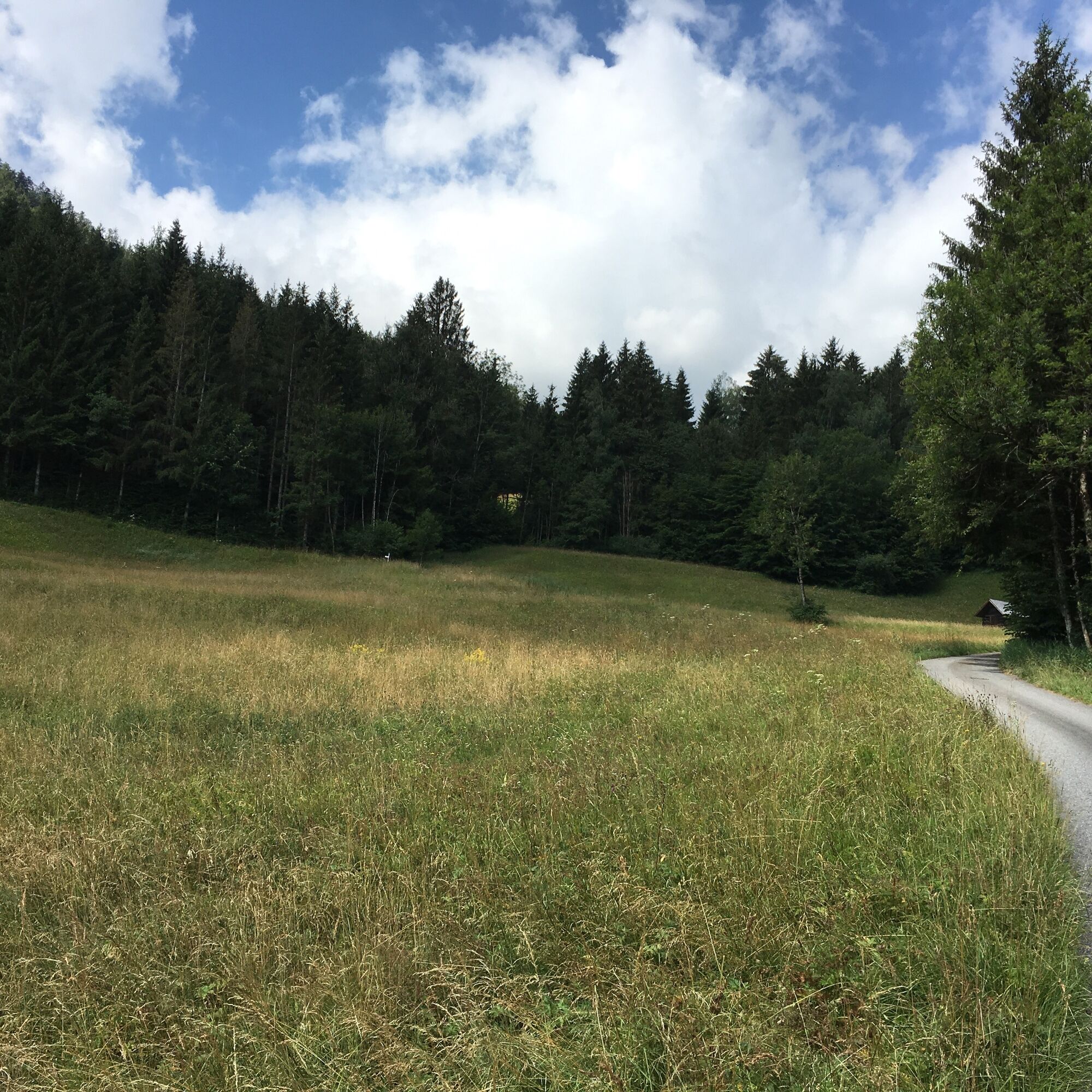
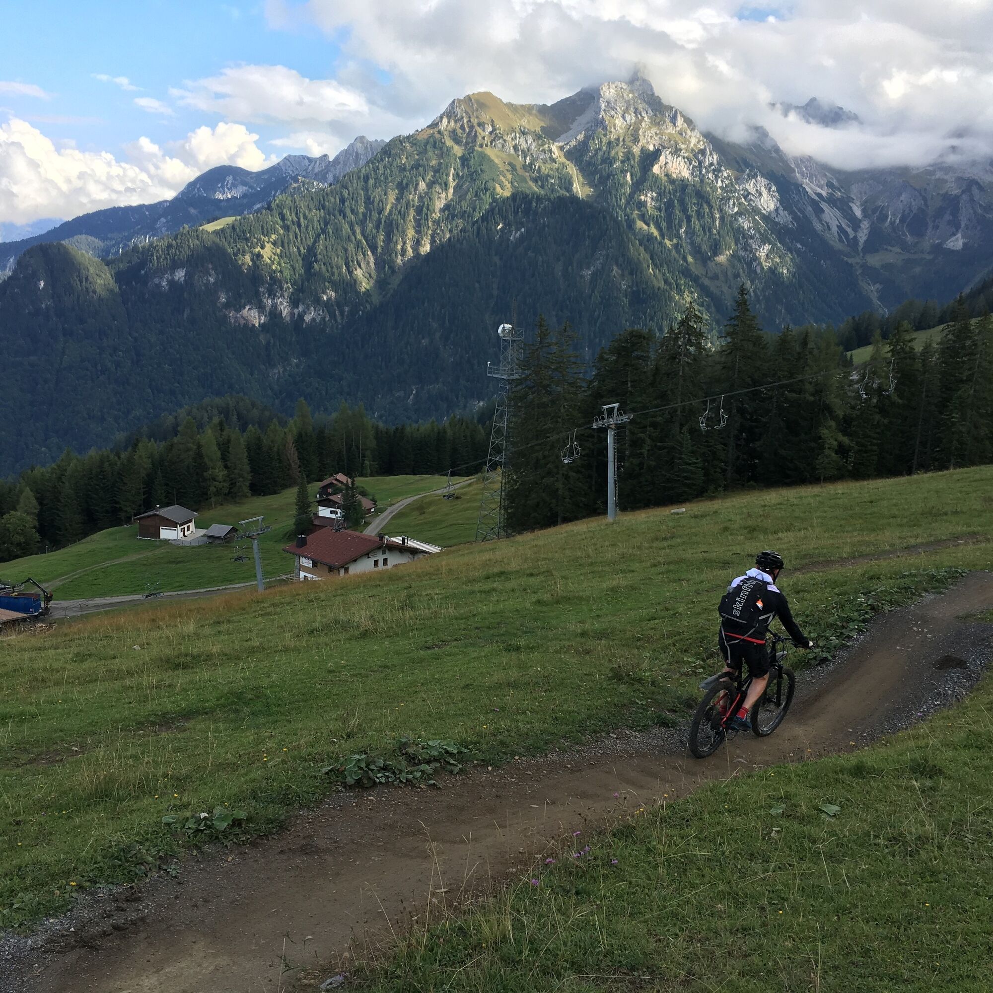
From Bludenz leisurely on paved bike path to Brand. With the support of the village railroad in the direction of Parpfienzsattel (who wants to collect altitude meters takes the freight road to the mountain station) and then enjoy the single trails in the Bikepark Brandnertal to Tschengla/Bürserberg.
Stage 2: Walgau with overnight stay in Gerachhaus (1180 hm)
From Tschengla/Bürserberg first down into the Walgau before it goes in Satteins on freight roads up towards Sender - constant companion: the panorama! For an overnight stay in the Gerachhaus please contact family Burtscher (florian.burtscher@hotmail.com) in time.
Stage 3: Großes Walsertal with overnight stay in Bludenz (1190 hm)
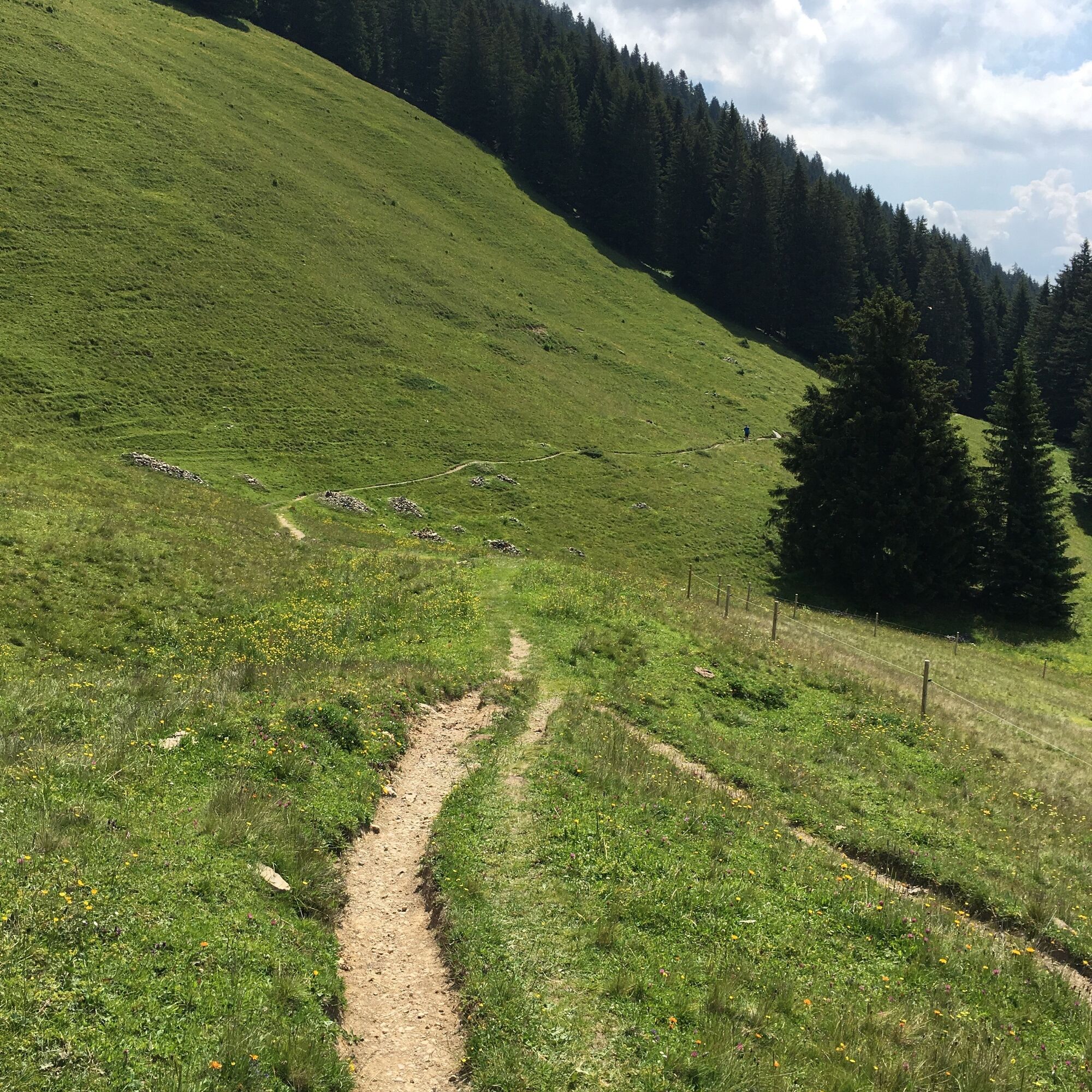
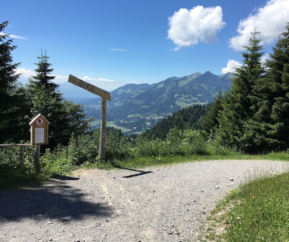
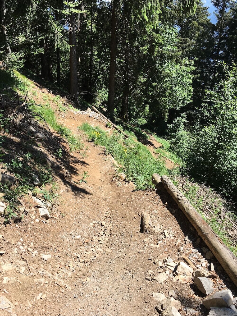
Directly from Gerachhaus partly on single trails down towards Ludesch. Collect altitude meters to Raggal or Ludescherberg and enjoyable on the Muttersberg. For technicians the famous single trail Muttersberg down to Bludenz - for connoisseurs the Güterweg.
Alternative: Stay overnight in Raggal and experience the tour around the Breithorn for an additional day.
Stage 4: Klostertal and Montafon (1570 hm / with use of mountain railroad 730 hm)
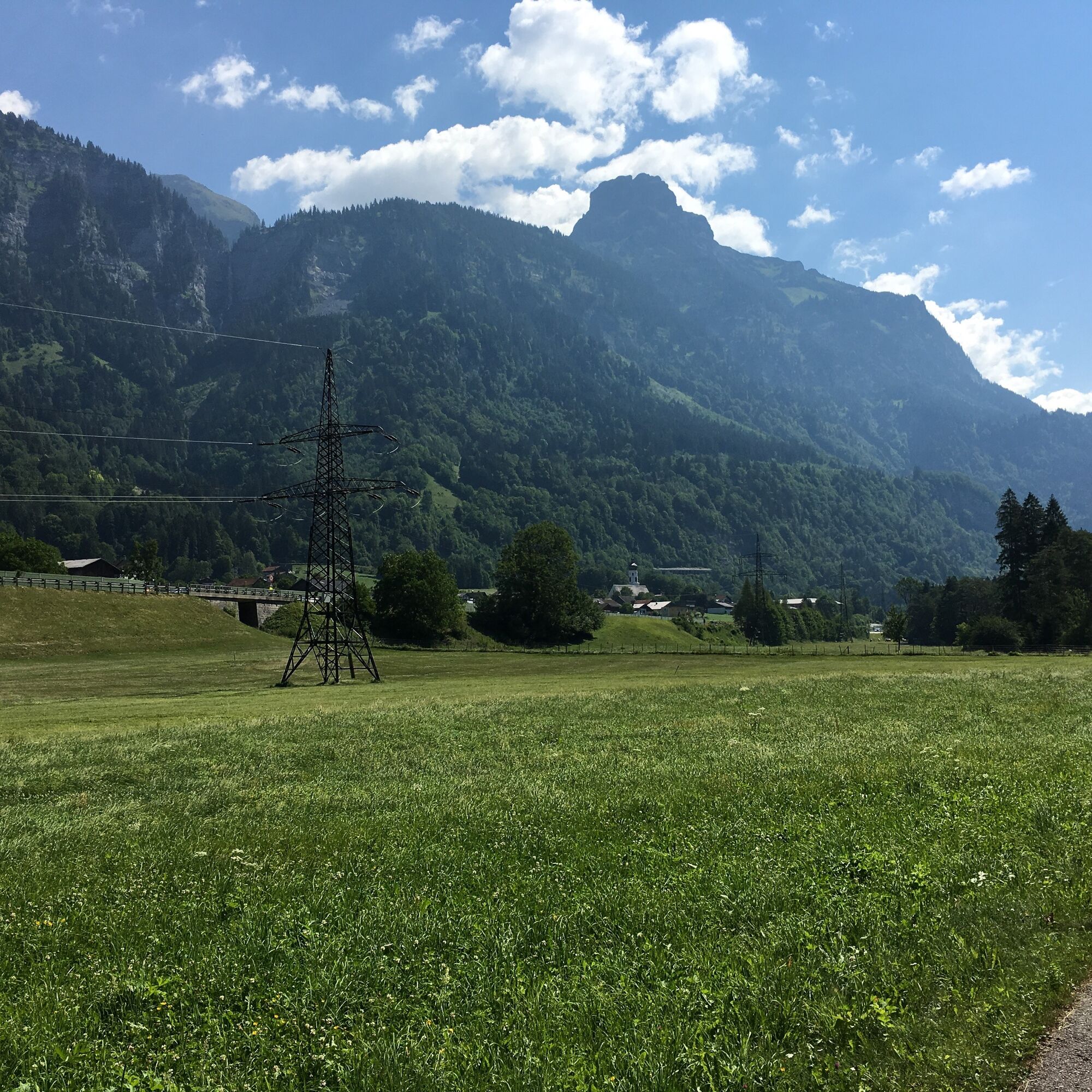
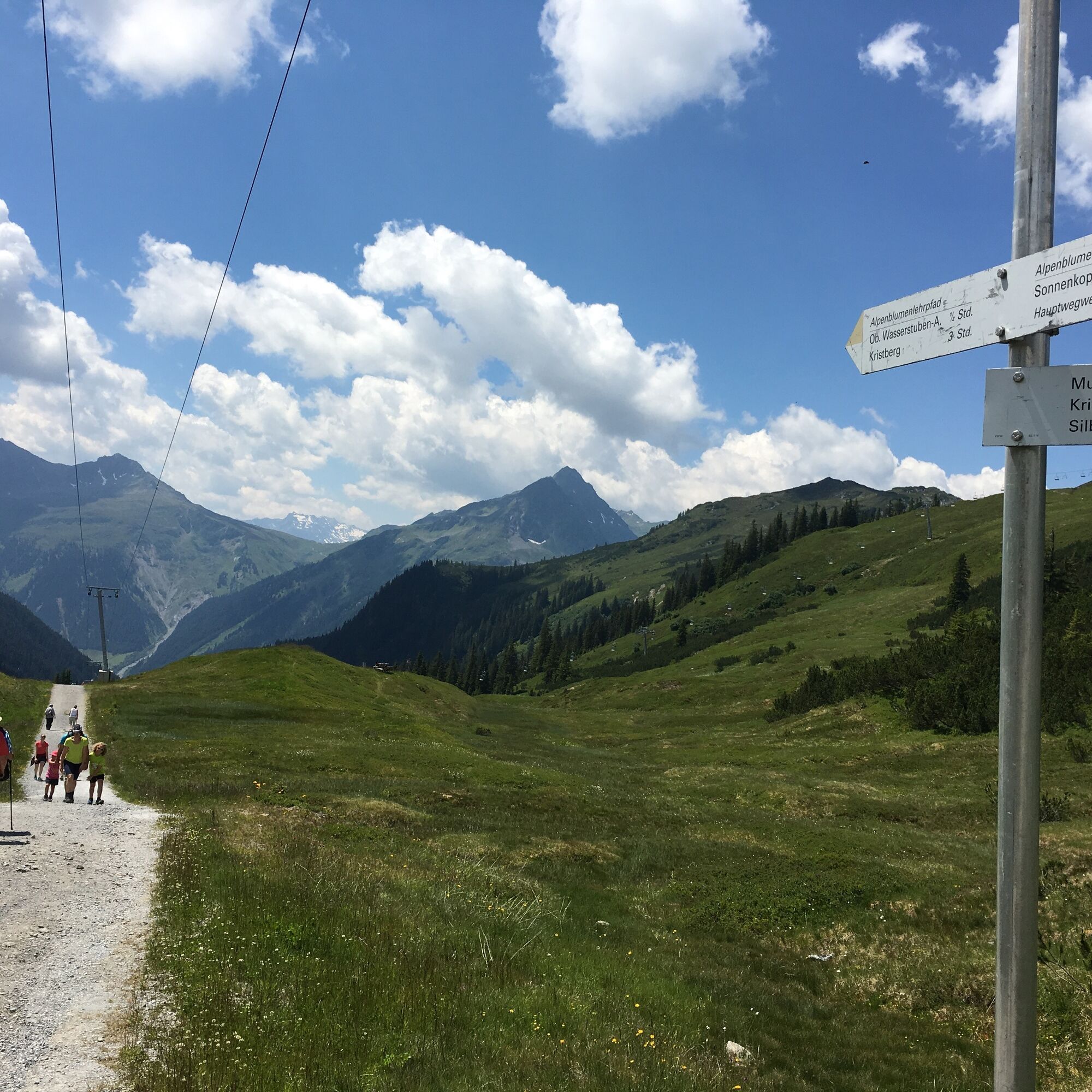
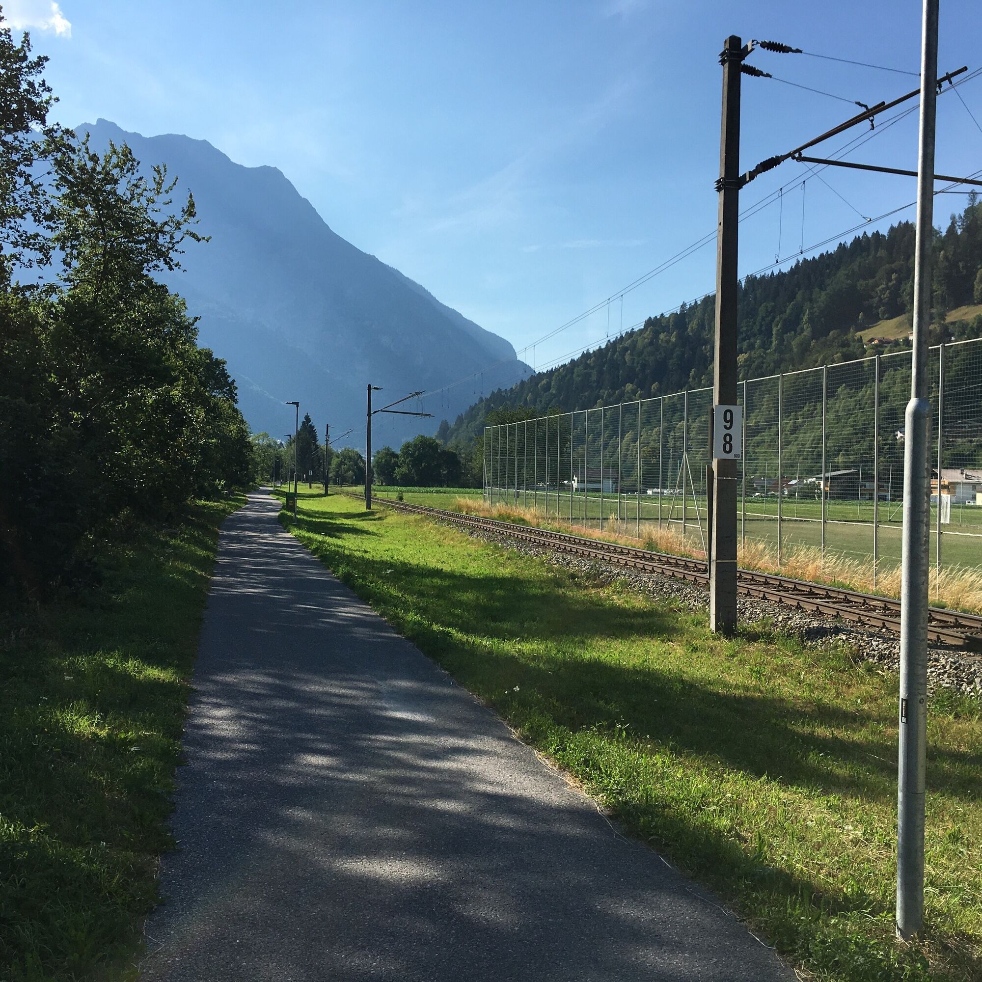
From Bludenz on the Klostertal cycle path always along the river Alfenz to the valley station Sonnenkopf/Wald am Arlberg. Take the cable car up (ambitious cyclists take the goods road) and through the idyllic Wasserstubental valley into the Montafon. Past the Kristberg, with a view of the mighty mountains of the Rätikon, you descend to Vandans, where you roll along the cycle path along the Ill River back to Bludenz.
- Directions
-
Stage 1: Brandnertal incl. Bikepark Brandnertal
Bludenz train station - Bürs village center - Werkstraße - Schaßweg - follow the road - Schaß - Klostermaisäß - bridge - Galaferda district - Brand village center - ascent with Dorfbahn cable car (or forest road) - Innere Parpfienzalpe - Parpfienzsattel - Mühlebachtrail - Faregg Lift valley station - Einhornbahn II cable car mountain station - Flowline "Tschengla Unchained" (alternative goods road) - Tschengla or Bürserberg.
Stage 2: Walgau with overnight stay in Gerachhaus
Tschengla/Bürserberg - Alpe Rona - Plandedon - Nenzing - Beschling - overpass Rheintal freeway - Schlins - cycle path 101 to Satteins - Satteins church - Gulmweg - Walgau Höhenstraße - Bischa - Dünser Älpele - Gerachhaus
Stage 3: Großes Walsertal with overnight stay in Bludenz
Gerachhaus - Dünser Älpele - Hensler - Boden - Düns - Schnifis - Buchwaldweg - Badesee - Thüringen - Walgaustraße direction Ludesch - Alte Raggalerstraße - Raggal - Ludescherberg - Laz - Muttersberg - Singletrail Muttersberg (or Güterweg) - Bludenz
Stage 4: Klostertal and Montafon
Bludenz - Klostertal cycle path - Brunnenfeld - Bludenz-Montafon traffic junction - Klostertal cycle path - Stallehr - Außerbraz - Innerbraz - Dalaas - Dorfstraße - gravel road at the end of the village - Sonnenkopfbahn valley station in Wald am Arlberg - Ascent Sonnenkopfbahn (or goods road) - Sonnenkopf - Obere Wasserstubenalpe - Wasserstubental - Untere Wasserstubenalpe - Wildried - Kristberg - Fulateia - Torasee - Fritzasee - Neyers Legi - Bartholomäberg church - Buchswaldstraße - Gantschier - Ill cycle path - St. Anton im Montafon - Lorüns - Bludenz
- Highest point
- 1,838 m
- Endpoint
-
Bludenz
- Height profile
-

- Equipment
-
Mountain bike, helmet, rain or sun protection as well as food and sufficient liquid for the respective daily stage. For the multi-day tour is recommended: A change of clothes, toiletries, tools and spare tube, first aid kit, map/route description and other personal items.
- Safety instructions
- Tips
-
The 5-valleys-tour is a moderately-difficult mountainbike tour and is therefore not recommended for absolute beginners. However, it is quite feasible for mountainbike beginners. Difficult trails can be bypassed if necessary and if it really doesn't work at all, then the bike can also be pushed for a short time.The tour is also designed for e-bikes, sufficient charging stations are available.
- Additional information
-
Along the tour you will find special bike-friendly accommodations for overnight stays.
- Directions
-
Route description online with Google Maps
- Public transportation
- Parking
-
Parking lot at Bludenz train station


- Author
-
The tour 5-Valleys Mountain Bike Tour | Bludenz is used by outdooractive.com provided.


Surfaces
General info
-
St. Gallen - Bodensee
153
-
Alpenstadt Bludenz
249
-
Bludenz
76
")


")
