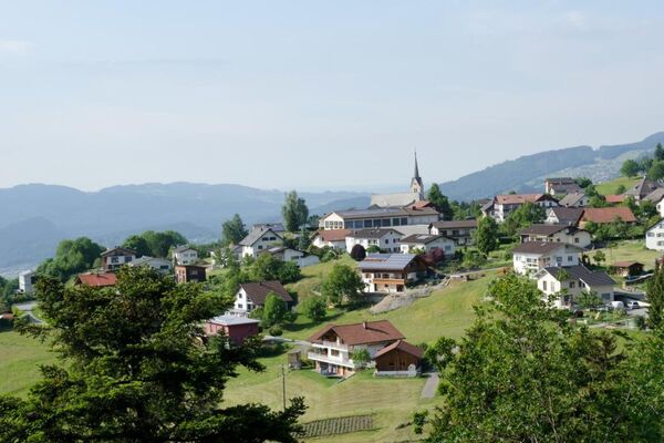
© Damüls - Faschina Tourismus - Matthias Greilach

- Brief description
-
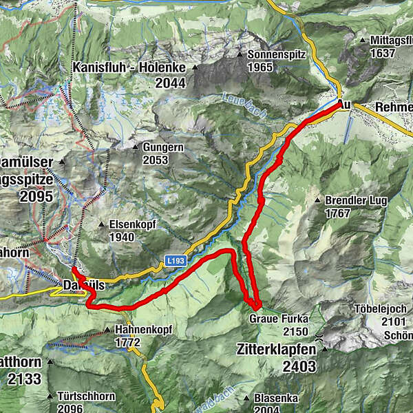
A trip with lots of ascents from Au to Damüls..
- Difficulty
-
medium
- Rating
-
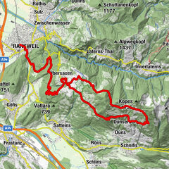
- Route
-
Damüls (1,423 m)0.7 kmHintere Bödmenalpe3.3 kmArgenzipfel13.4 kmAu (800 m)14.1 kmLisse14.3 km
- Best season
-
JanFebMarAprMayJunJulAugSepOctNovDec
- Description
-
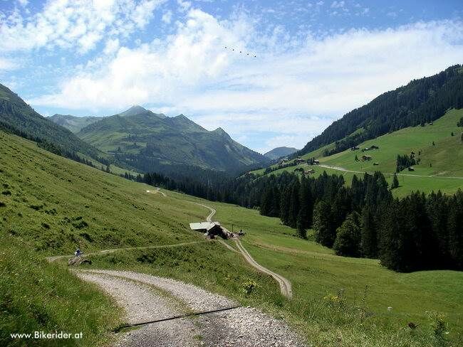
This tour starts with a steep climb over the Argenalpen to the Vordere Kriegbödenalpe. The route continues across the Bödmenalpen to Damüls. A mountain road (as far as Walisgaden) and later an alpine path then takes cyclists uphill to the Ugaalpe (1,800 m) where a view of the striking Mittagspitze presents itself.This is followed by a steep descent before another slight ascent leads to the Mittelargenalpe. An alpine path leads back down to Argenwald from there. The country road then returns to Au.
- Highest point
- 1,398 m
- Endpoint
-
Au
- Height profile
-

- Author
-
The tour From Au to Damüls is used by outdooractive.com provided.
GPS Downloads


General info
Refreshment stop
A lot of view
Other tours in the regions