
- Brief description
-
A long but moderately difficult mountain bike tour with incredible views and plenty of resting places to choose from.
- Difficulty
-
medium
- Rating
-
- Starting point
-
Hike starting point Rüfiplatz
- Route
-
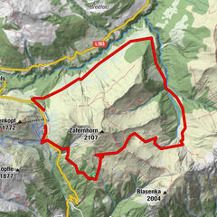
Gotikkirche Hl. Nikolaus0.1 kmLech (1,444 m)0.3 kmZug2.8 kmSebastianskirche3.0 kmGasthof Auerhahn3.7 kmKlösterle3.7 kmGasthaus Älpele6.6 kmAlpe Dalaaser Stafel11.5 kmBrazer Staffel17.1 kmSebastianskirche22.3 kmZug22.3 kmLech (1,444 m)25.1 kmGotikkirche Hl. Nikolaus25.3 km
- Best season
-
JanFebMarAprMayJunJulAugSepOctNovDec
- Description
-
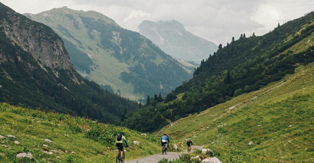
A long mountain bike tour starting in Zug near the toll road. Along the asphalted road to the Älpele inn, uphill to the Spullersee dam. You go around the lake, then uphill towards Ravensburger hut. Afterwards you will reach the Alpe Brazer Staffel. Continue uphill to the Stierlochjoch. From here it goes through the serpentines downhill towards Zug until you reach the fish pond.
- Directions
-
From the hike starting point at the Rüfiplatz, follow the Lech Promenade upstream until you reach the old roofed wooden bridge. Turn right towards Zug here.
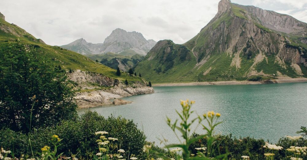
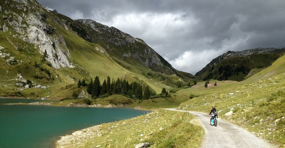
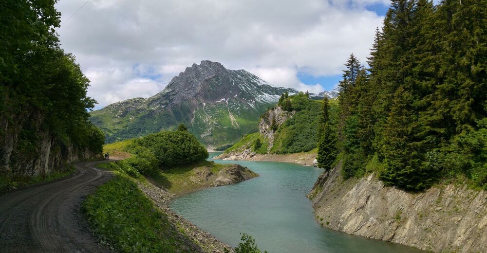
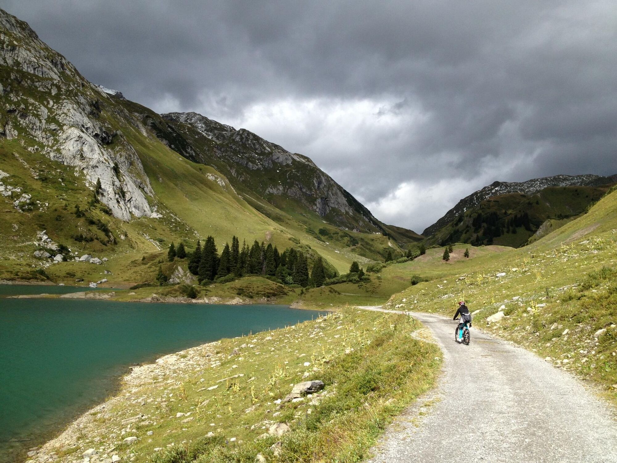
After leaving Zug district, the road leads onto a toll road (free for cyclists). Follow the paved road past the Gasthof Älpele and the forest camp until you reach the junction. Turn left and continue uphill past the Alpe Dalaaser Staffel until you reach the dam wall of the Spullersee Lake.
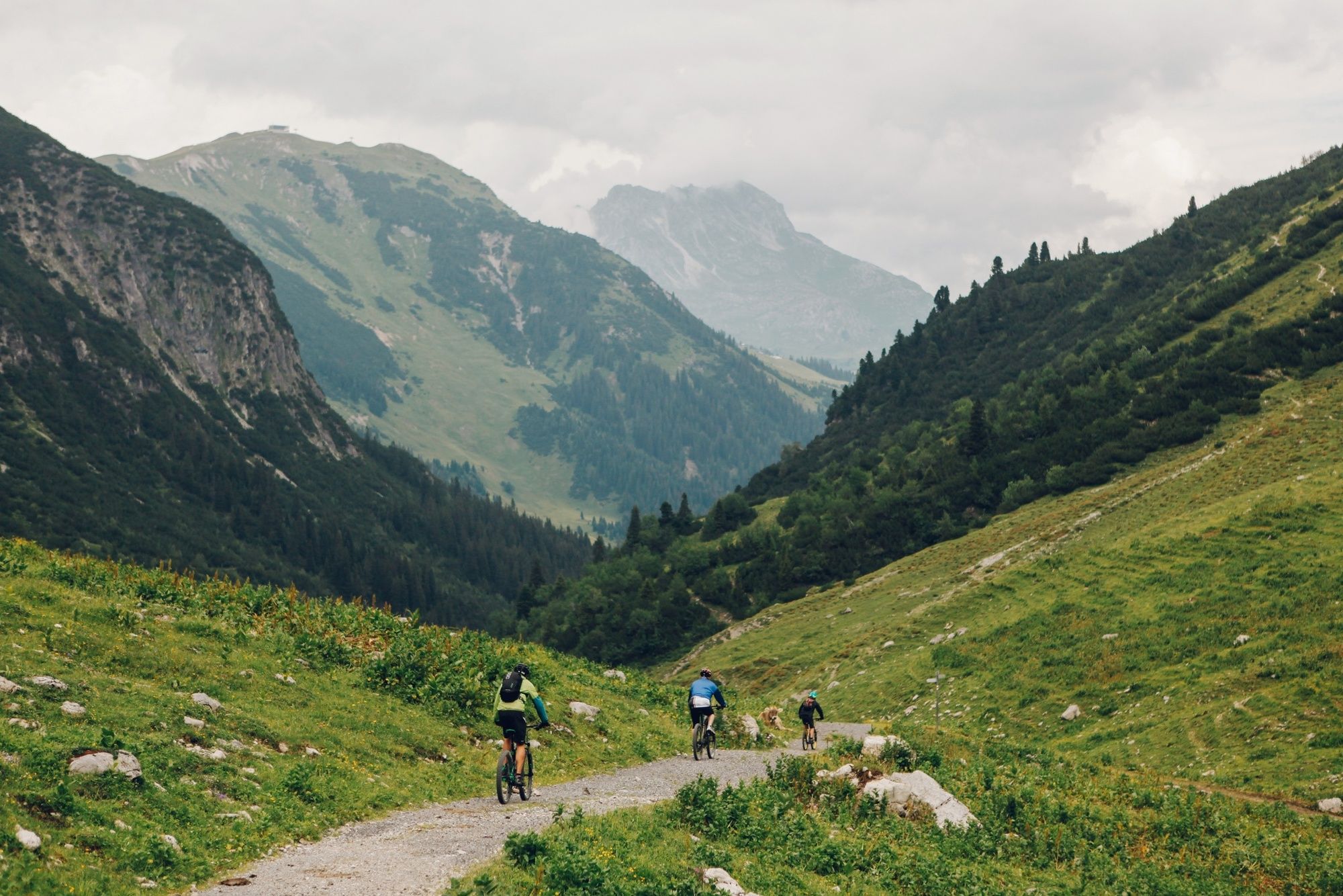
Along a gravel road, you go around the lake across the southern dam wall. From here, the path ascends towards the Ravensburger hut. After passing the Ravensburger hut, continue ascending at the Alpe Brazer Staffel until you reach the Stierlochjoch Pass (2,009 m). The path then continues on coarse gravel and with hairpin bends down to the Stierlochalpe. Follow this alpine path downhill towards Zug.
You will reach a paved back road at the fish pond. A short ascent follows, then turn right onto the main road. From here, bike through Zug town centre on the same path back to the starting point. - Highest point
- 2,011 m
- Endpoint
-
Hike starting point Rüfiplatz
- Height profile
-

- Equipment
-
Helmet, weatherproof cycling clothes, first aid kit, pharmacy, water bottle, rucksack with rain gear, map, compass, eventually GPS device, food supply
optional extra equipment: elbows / knee pads / back protectors
Tools (mini pump, repair kit, spare hose)
- Safety instructions
- Tips
-
Special features: Up until the Spullersee Lake, the route is also suitable for racing bikes and road bikes.
Sights: St. Sebastian church in Zug – the justification for the construction of this small church was purportedly a vow made during the times of the plague in the early 17th century, a fact which is backed up by its dedication to St. Sebastian.
Refreshment stops: Restaurants in Lech am Arlberg or Zug, Gasthof Älpele, Dalaaser Staffel, Ravensburger Hütte, Brazer Staffel and fish pond. - Additional information
- Directions
-
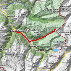
From Germany: Take the A96 motorway to Bregenz from there on the A14 motorway to Bludenz, continue on the S16 to the Lech Zürs am Arlberg exit. Follow the B197 up to Alpe Rauz, turn left here onto the B198 through Flexengalerie and over the Flexenpass to Lech Zürs am Arlberg.
From Switzerland: Via the A13 motorway and the Feldkirch, Hohenems or Lustenau border crossing on the A14 motorway to Bludenz. Continue on the S16 until exit Lech Zürs am Arlberg. Follow the B197 up to Alpe Rauz, turn left here onto the B198 through Flexengalerie and over the Flexenpass to Lech Zürs am Arlberg.
From Austria: Via the Inntalautobahn A12 and then via the S16 to the exit St. Anton am Arlberg (Arlberg Pass). Follow the B197 first through St. Anton, then through St. Christoph and over the Arlbergpass to Alpe Rauz. Turn right here onto the B198, drive through Flexengalerie and over the Flexenpass to Lech Zürs am Arlberg.
- Public transportation
-
By train to Langen am Arlberg station or St. Anton am Arlberg. From there, buses (No. 750+760) run regularly to Lech Zürs am Arlberg.
- Parking
-
You can either park your vehicle directly at your host or park it in the underground garage in Anger. The underground car park is located directly in the centre of town opposite Raiffeisenbank Lech. Opening hours 07:00 - 20:00 o' clock.


-

-
AuthorThe tour Spullersee Tour is used by outdooractive.com provided.