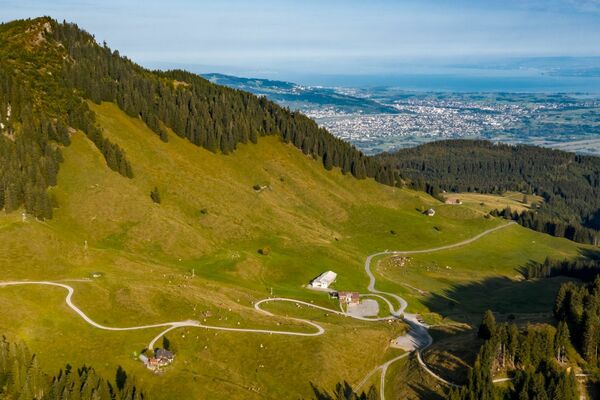
© Damüls - Faschina Tourismus - Matthias Greilach

- Brief description
-
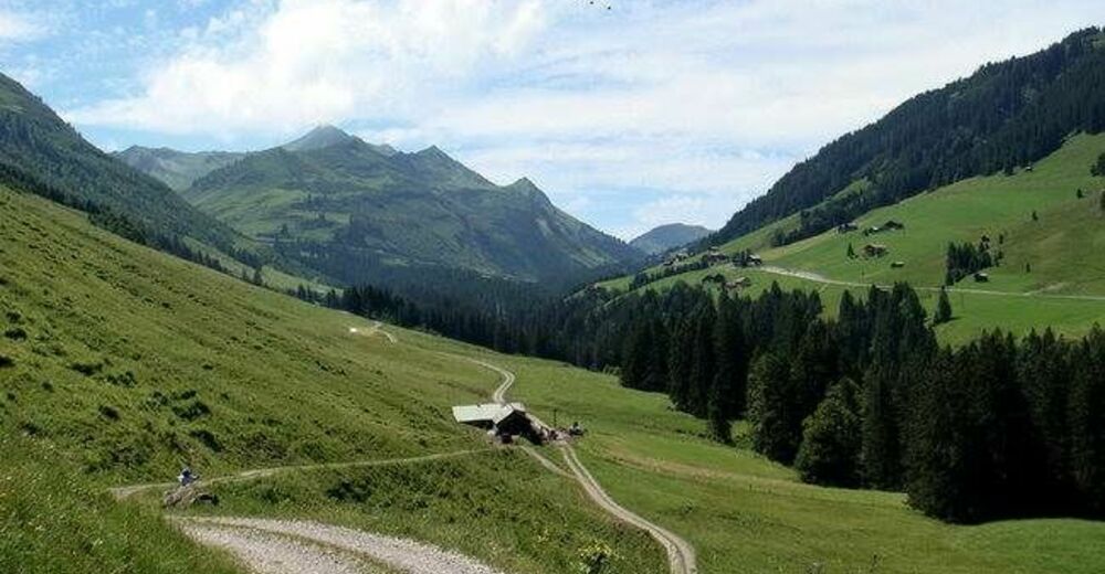
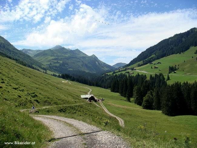
Faschinajoch - Zafernalpe - Kriegbödenalpe - Tiefenwald - Faschinajoch
- Difficulty
-
difficult
- Rating
-
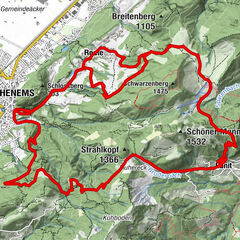
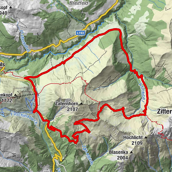
- Route
-
Faschina0.1 kmPanorama + Parkbucht0.6 kmZafernmaisäß3.9 kmHubertuskapelle5.4 kmZafernalpe (1,702 m)6.7 kmHintere Bödmenalpe13.3 kmFaschina15.2 km
- Best season
-
JanFebMarAprMayJunJulAugSepOctNovDec
- Highest point
- 1,878 m
- Endpoint
-
Faschinajoch
- Height profile
-

- Author
-
The tour Damüls-Faschina | Rund ums Zafernhorn is used by outdooractive.com provided.
GPS Downloads


General info
Refreshment stop
A lot of view
Other tours in the regions