


- Brief description
-
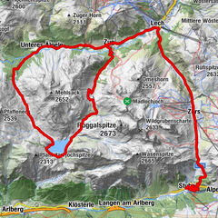
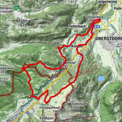
Au - Godlachenalpe - Brendleralpe - Säckelalpe (optional zum Lug) - Vorsäß Argen - Au
- Difficulty
-
medium
- Rating
-
- Route
-
Au (800 m)Argenau0.4 kmArgenvorsäß13.9 kmArgenzipfel17.6 kmAu (800 m)18.3 kmLisse18.4 km
- Best season
-
JanFebMarAprMayJunJulAugSepOctNovDec
- Description
-
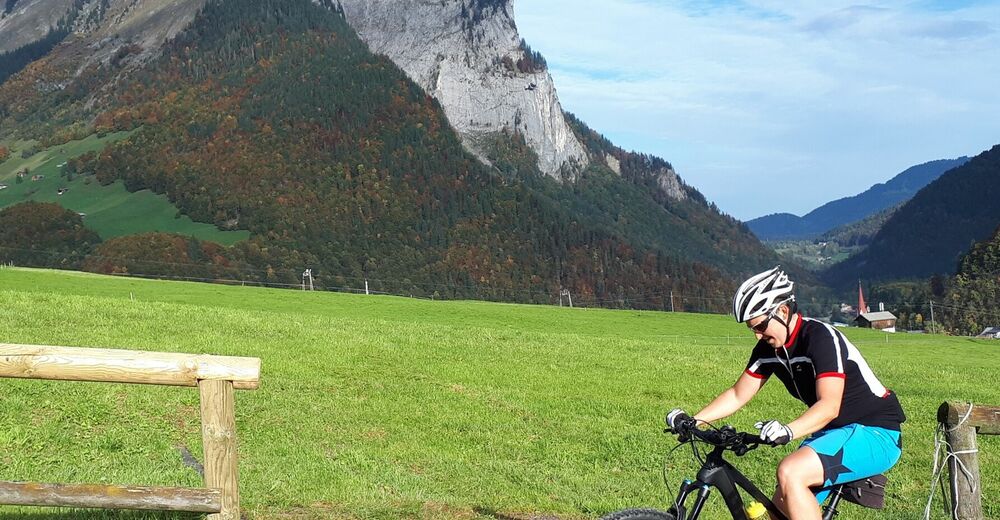
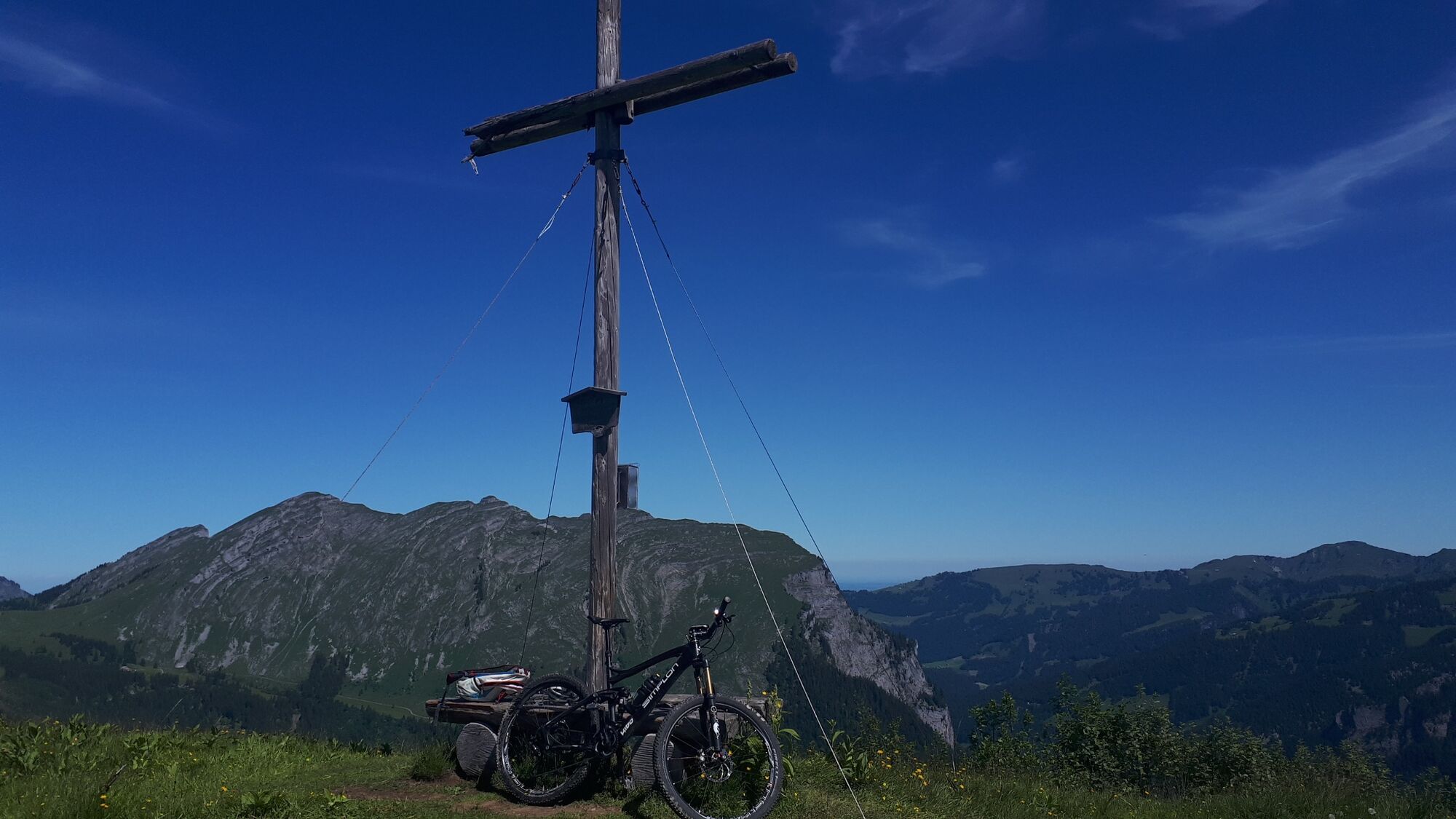
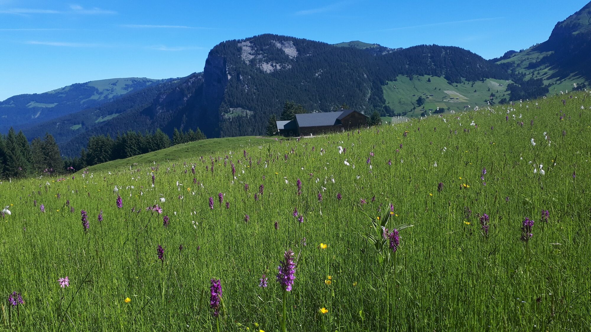
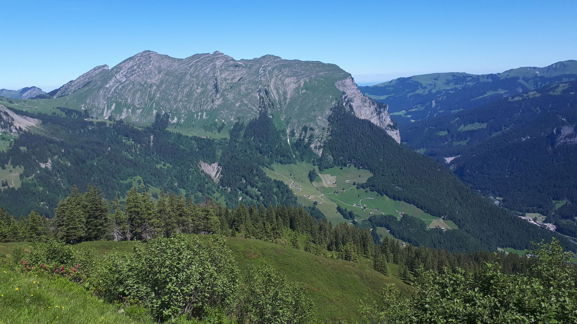
From Au, an agricultural path leads through the forest up to the Godlachen and Brendler alps, which enjoy a lovely location, and then onwards to the Säckelalpe. Above the Säckelalpe, on the Lug mountain ridge, you reach the highest point of the tour, which affords you a stunning view. On the western side of the mountain ridge, you take an agricultural path back down to the Argenvorsäß, an alpine pasture settlement typical of the Bregenzerwald, featuring several huts and a chapel. Cycle back to Au on a well-developed alpine path.
- Highest point
- 1,762 m
- Endpoint
-
Gemeindeamt/Tourismusbüro Au
- Height profile
-

- Safety instructions
-
Emergency call:
140 Alpine emergencies Austria
144 Alpine emergencies Vorarlberg
112 Euro- emergency call (works with any mobile network)


-

-
AuthorThe tour Au-Schoppernau | Rundtour zum Lug is used by outdooractive.com provided.


General info
-
Bregenzerwald
224
-
Au - Schoppernau
104
 Lech Zuers Tourismus by Hanno Mackowitz")