
- Brief description
-
Difference in altitude: 1,200 m
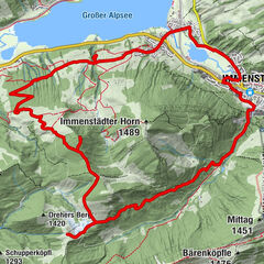
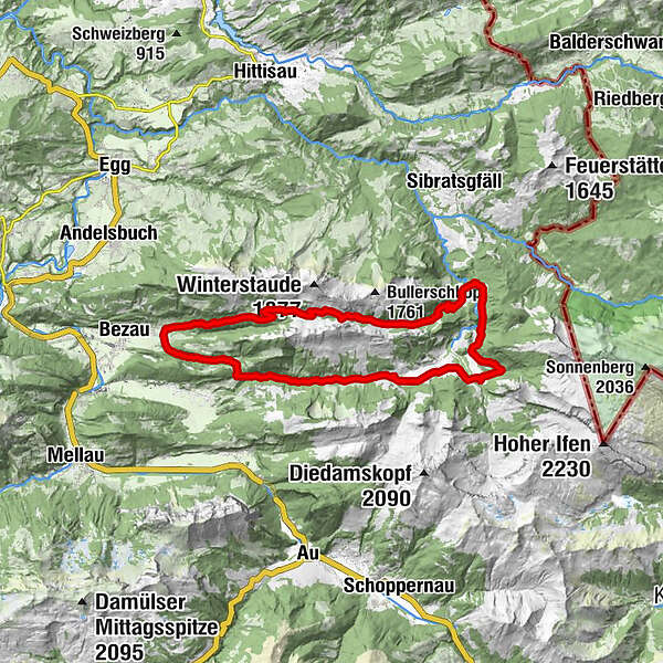
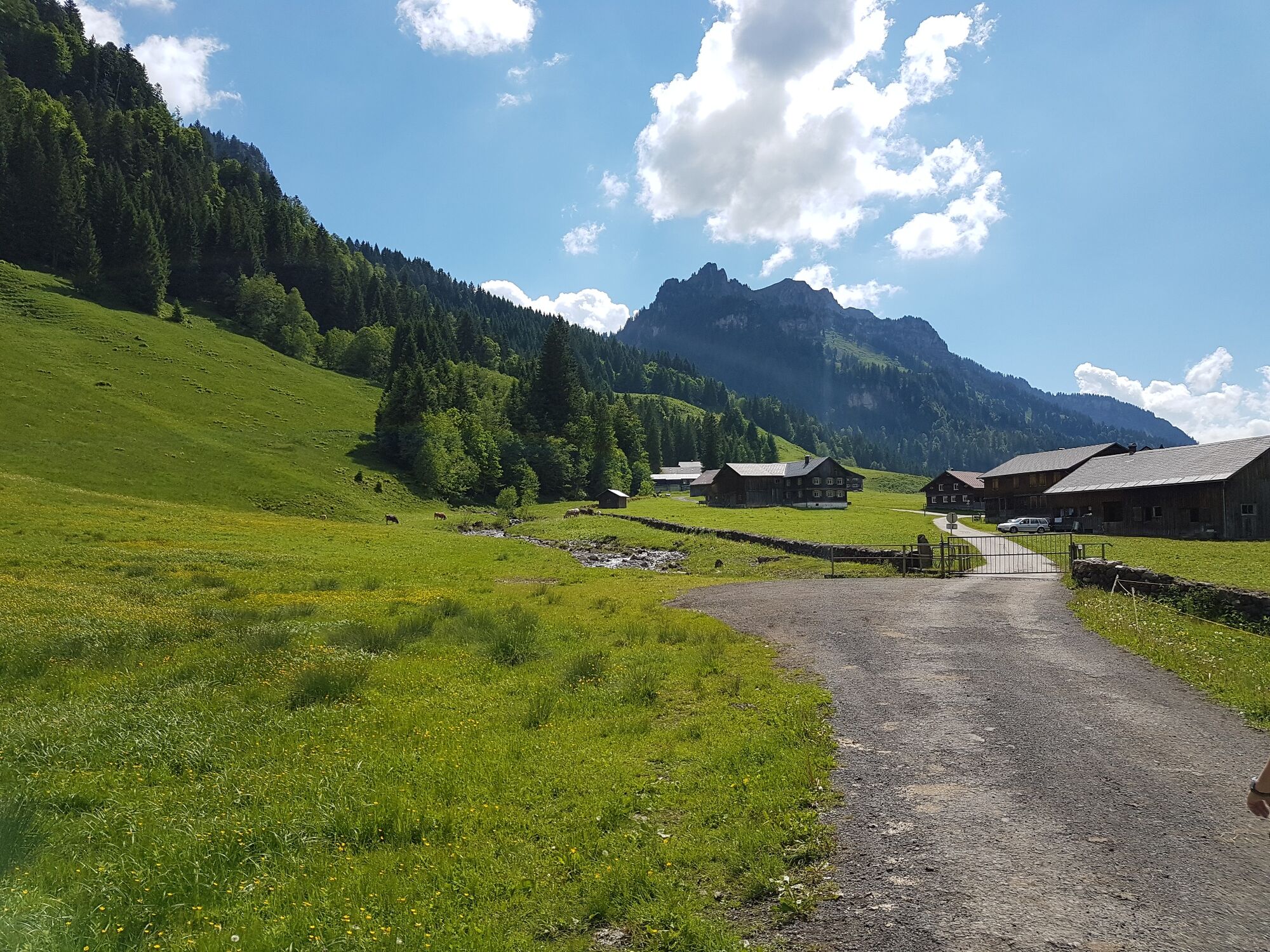
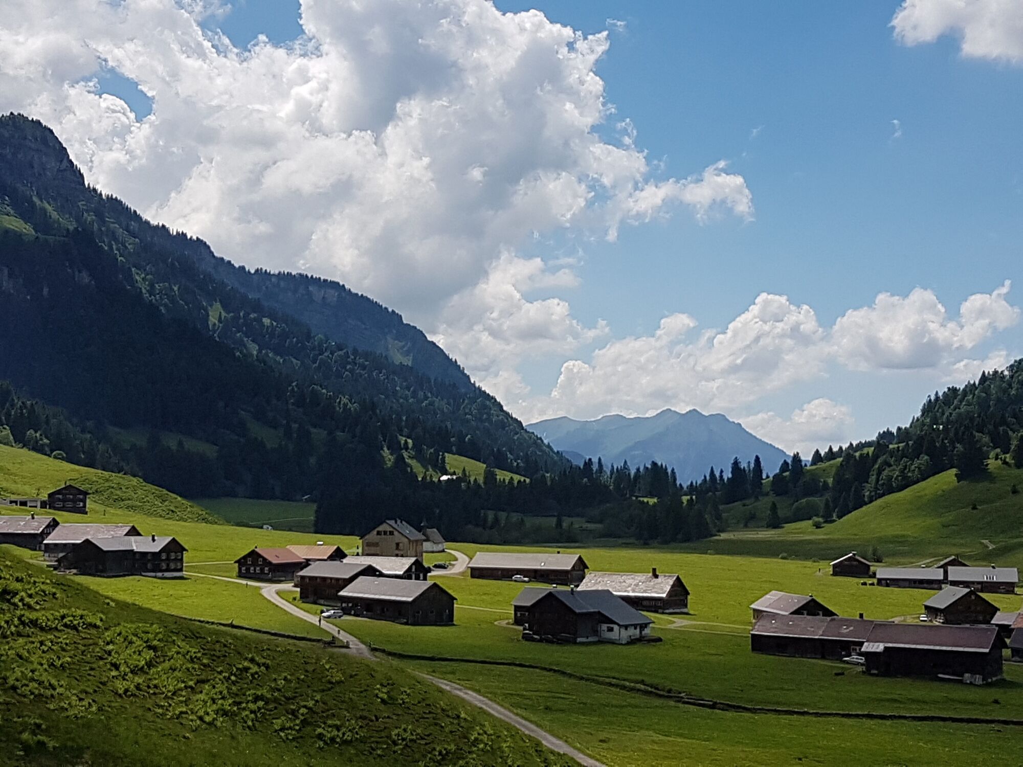
Bezau - Rimsgrund - Langenalpe - Schönenbach - Iferwiesalpe - Hintere Leugehralpe - Auenalpe - Helbockstobelalpe - Schreiberesattel - Wildmoosalpe - Bezau - Difficulty
-
medium
- Rating
-
- Starting point
-
Bezau centre of town
- Route
-
ObereSandriese0.2 kmRimsgrund1.8 kmAlpe Rüschere7.8 kmDreifaltigkeitskapelle9.8 kmGasthaus Egender9.9 kmSchönenbach10.0 kmSubersach Wasserfall16.6 kmHinterer Leugehr (942 m)16.7 kmSchreiberesattel (1,526 m)22.2 kmAlpe Wildmoos (1,400 m)25.3 kmHalde29.2 kmObere29.5 kmSandriese29.5 km
- Best season
-
JanFebMarAprMayJunJulAugSepOctNovDec
- Description
-
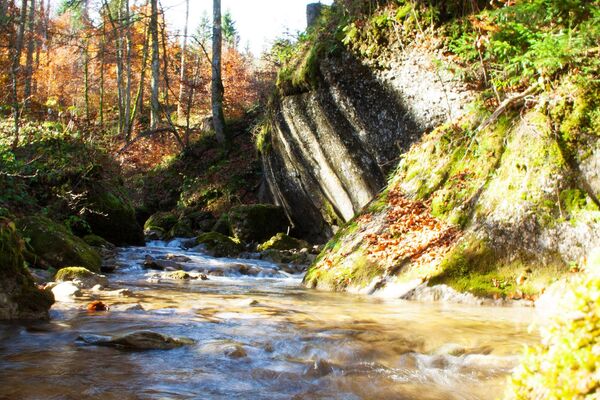
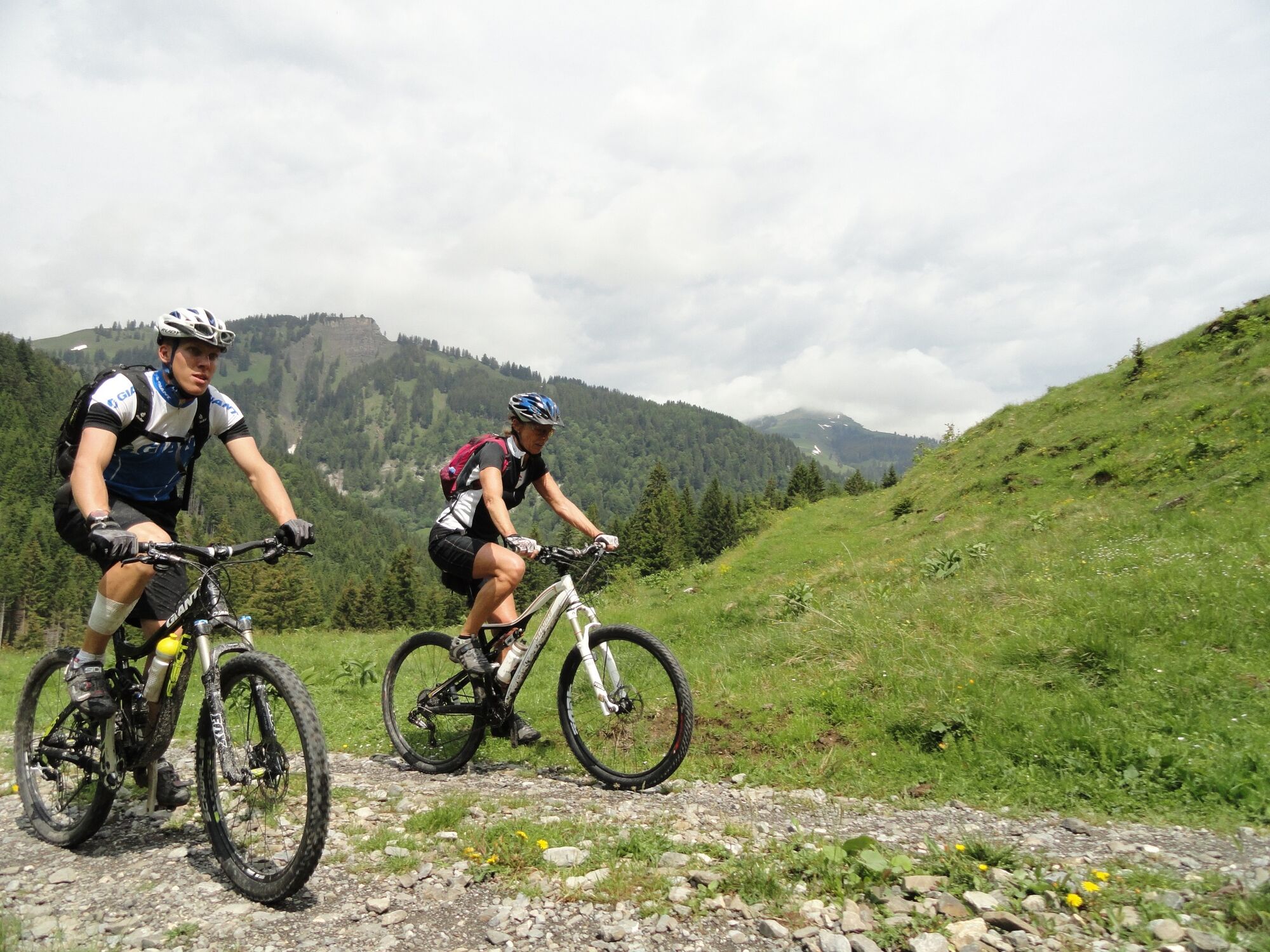
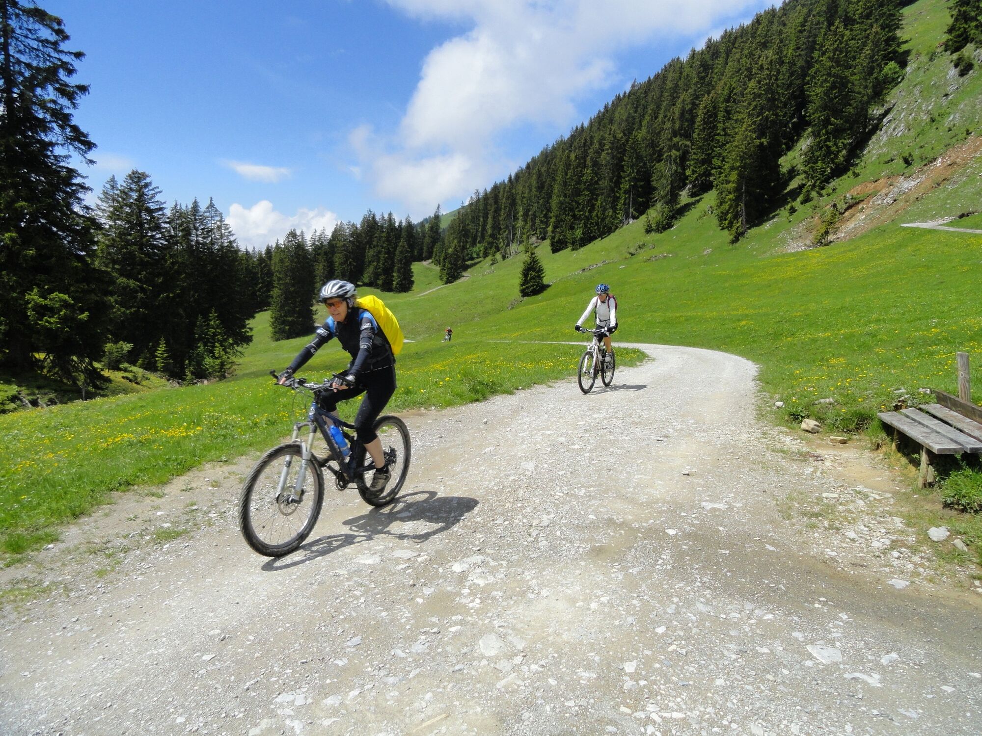
This tour, which contains steep parts, is suitable for experienced cyclists. From Bezau, you take some short, strenuous ascents via Rimsgrund to the Langenalpe. Via an asphalted toll road and through a shaded wood, you arrive at Schönenbach. You then continue via the Iferwiesalpe past the turning for the Schneckenlochhöhle and the Iferalpe. Here, you cross the wildly romantic gorge of the Subersach and cycle via a moderately steep alpine path to the Helbockstobelalpe. There then follows an uneven, demanding path to the Geserstobelaple and a part where you need to push (approx. 10 minutes) as far as the Schreiberesattel. From here, you now cross alpine terrain, initially moderately downhill, and then steeply downhill through the wood into the valley.
- Highest point
- 1,530 m
- Endpoint
-
Bezau centre of town
- Height profile
-

- Safety instructions
- Tips
-
Chances to stop off for a drink/food:
Jausenstation Tüble, Gasthof Egender, Wildmoosalpe, inns in Bezau - Additional information
-
Tip: mountain bike map
Detailed descriptions of 15 recommended tours for beginners, the advanced and professionals are enclosed in the mountain bike map of Bregenzerwald (available from Bregenzerwald Tourismus, in the tourist information offices and in some sports shops.) - Directions
-
From Germany: Ulm - Memmingen - Kempten - Oberstaufen bzw. Bodensee - Lindau - Pfändertunnel - Dornbirn/Nord - Bödele OR Achraintunnel - Alberschwende - Bezau
From Switzerland: Zürich - St. Gallen - St. Margarethen - Dornbirn - Bödele OR Achraintunnel - Alberschwende - Bezau - Parking
-
centre of town

- Author
-
The tour Bezau | Schönenbach - Schreiberesattel is used by outdooractive.com provided.


General info
-
Bregenzerwald
225
-
Schnepfau
98