- Brief description
-
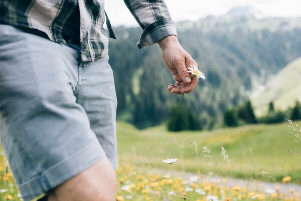
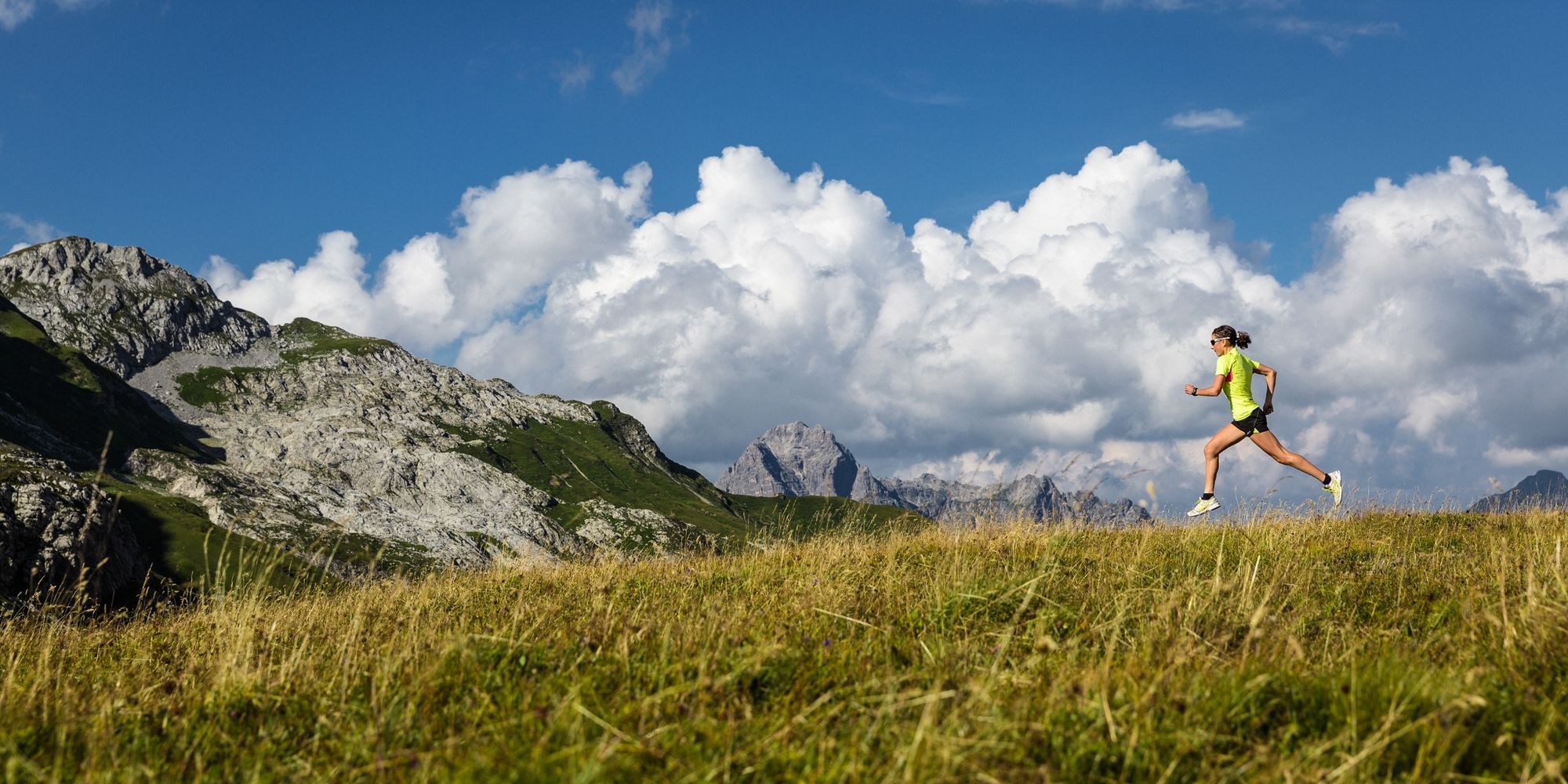
A medium-length, but very demanding trail through attractive countryside.
- Difficulty
-
difficult
- Rating
-
- Starting point
-
Postgarage
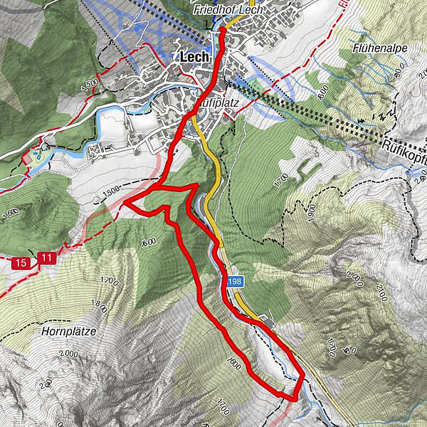
- Route
-
Gotikkirche Hl. Nikolaus0.1 kmLech (1,444 m)0.2 kmLech (1,444 m)5.9 kmGotikkirche Hl. Nikolaus6.1 km
- Best season
-
JanFebMarAprMayJunJulAugSepOctNovDec
- Description
-
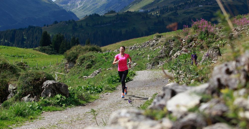
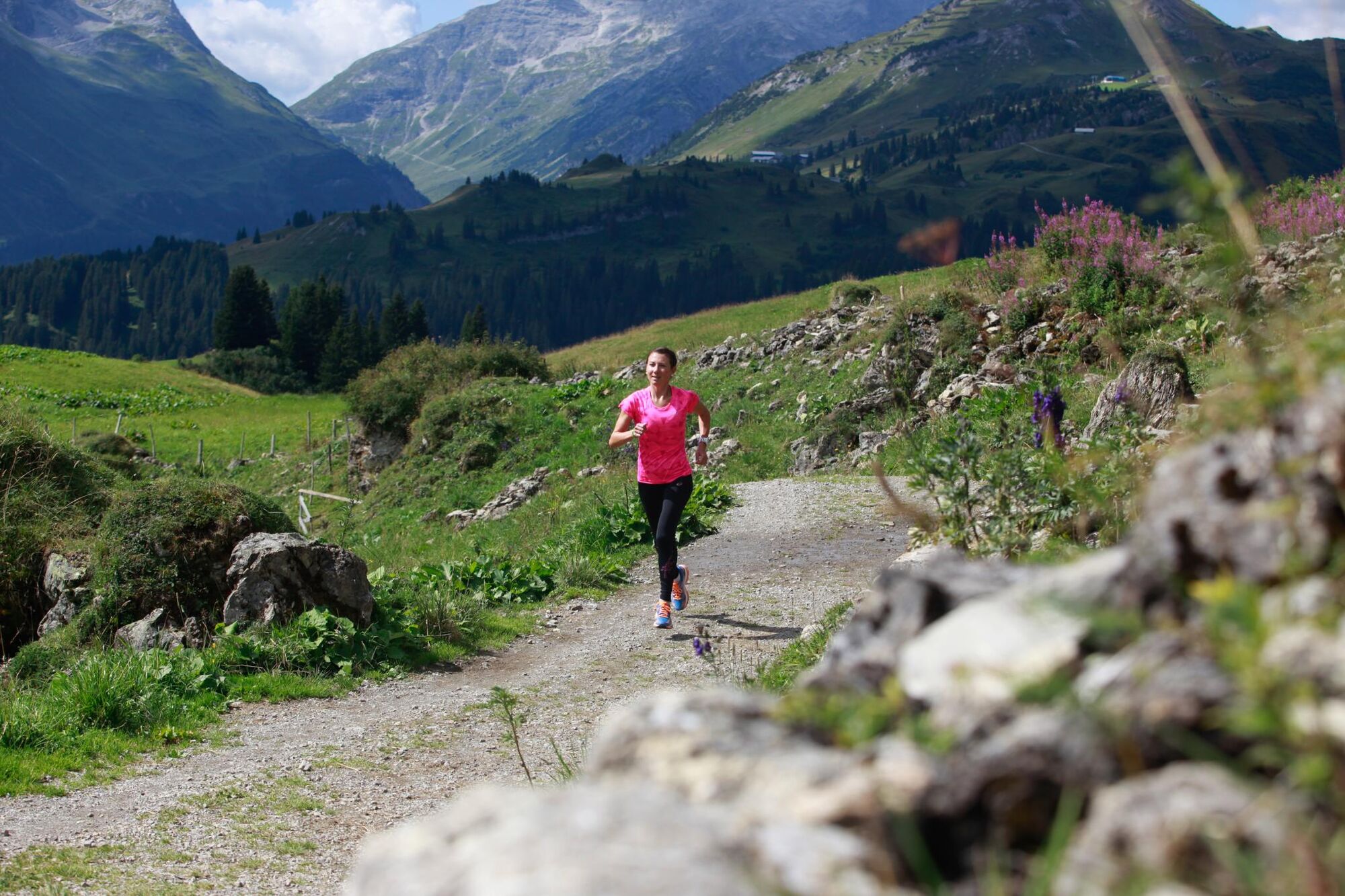
From the Postgarage you go up the Lech. Pass the Spar supermarket in the direction of Omeshorn. At Omesberg turn left onto a wide gravel road. We take the forest road in the direction of Gstütalpe. After about 100 metres we reach the first turn-off. But we continue and take the second turnoff to the left towards Wiesele. Continue straight on up to the Gstütalpe. Now the path leads through the forest, directly along the slope. A little further down on the left, you can see the Zürsbach. After about 15 minutes the path makes a left turn and leads downhill in the direction of Zürsbach. Now it goes along the banks of the Lech back to Lech.
- Directions
-
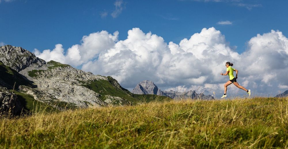
The jogging route leads from the post garage up the Lech along the Spar supermarket in the direction of Omeshorn. At Omesberg turn left onto a wide gravel road. At the foot of the Omeshorn, the forest path leads in the direction of Gstütalpe. After about 100 metres you come to the first turn-off. But we continue and take the second turnoff to the left towards Wiesele. Straight ahead the path leads to the Gstütalpe and to the summit of the Omeshorn. The path runs through the forest, directly along the slope. To the left a little further down, one sees the Zürsbach. The narrow path is surrounded by mountain pines and medium-high trees. After about 15 minutes the path makes a left turn and leads downhill towards Zürsbach. You can already see a bridge over the Zürsbach. If you cross the stream, the path continues to Zürs on the right. However, we do not cross the brook but walk along the path along the banks of the Lech back to Lech.
- Highest point
- 1,590 m
- Endpoint
-
Postgarage
- Height profile
-

- Equipment
-
running shoes, sportswear, Nordic walking equipment
- Safety instructions
- Tips
-
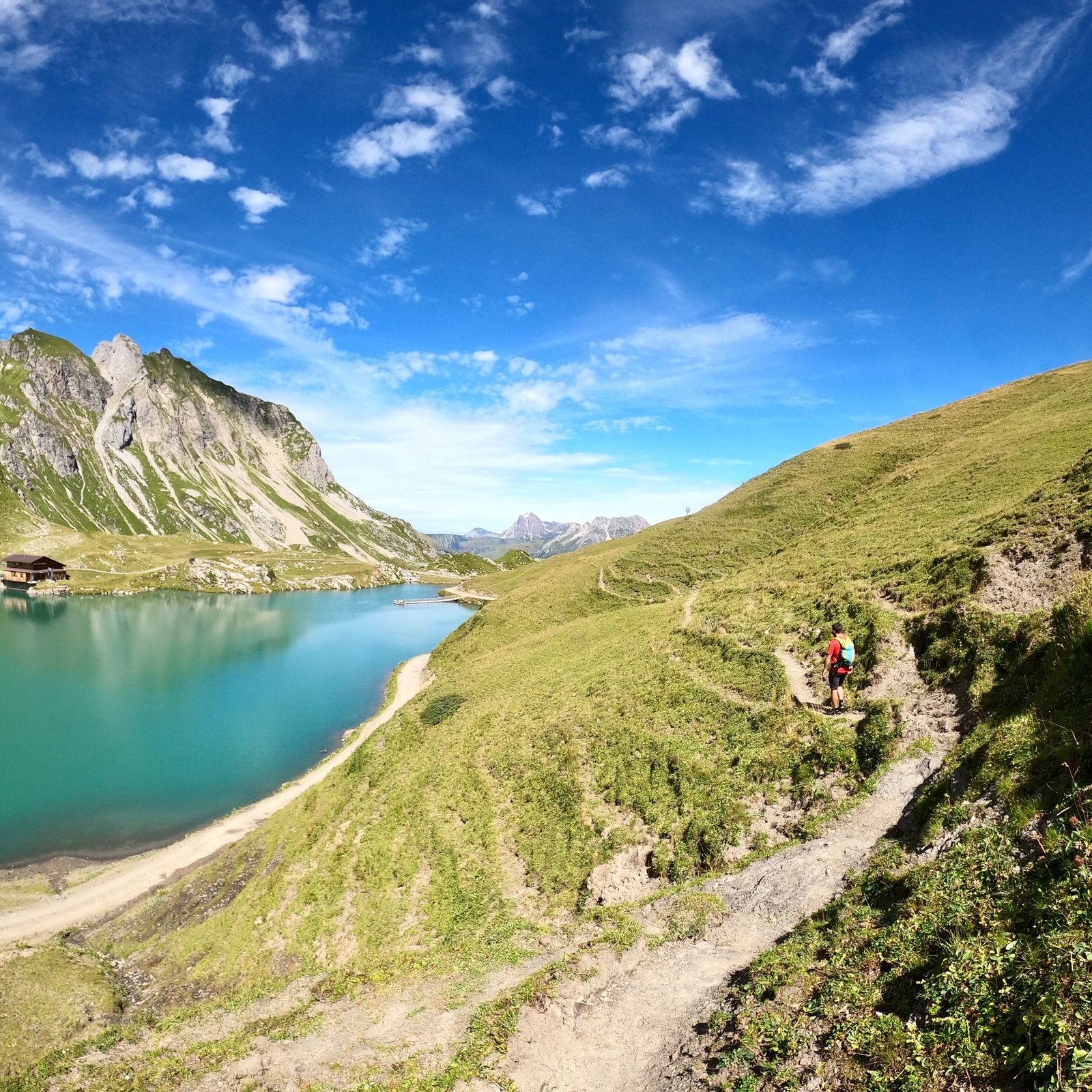
In Wiesele the path also leads up to the Zürsersee.
- Additional information

- Author
-
The tour Wiesele Trail is used by outdooractive.com provided.