- Brief description
-
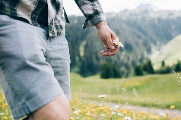
Short circuit across the wonderful meadows at the foot of the Rüfikopf.
- Difficulty
-
medium
- Rating
-
- Starting point
-
Postgarage
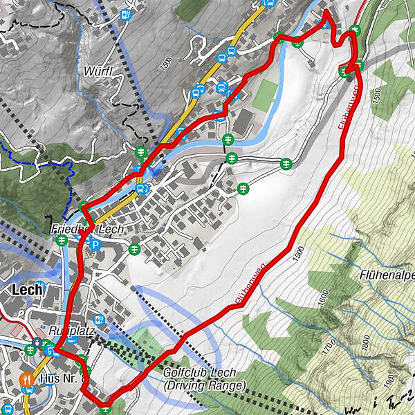
- Route
-
Gotikkirche Hl. Nikolaus0.1 kmLech (1,444 m)0.2 kmBergbahn Lech - Oberlech3.5 km
- Best season
-
JanFebMarAprMayJunJulAugSepOctNovDec
- Description
-
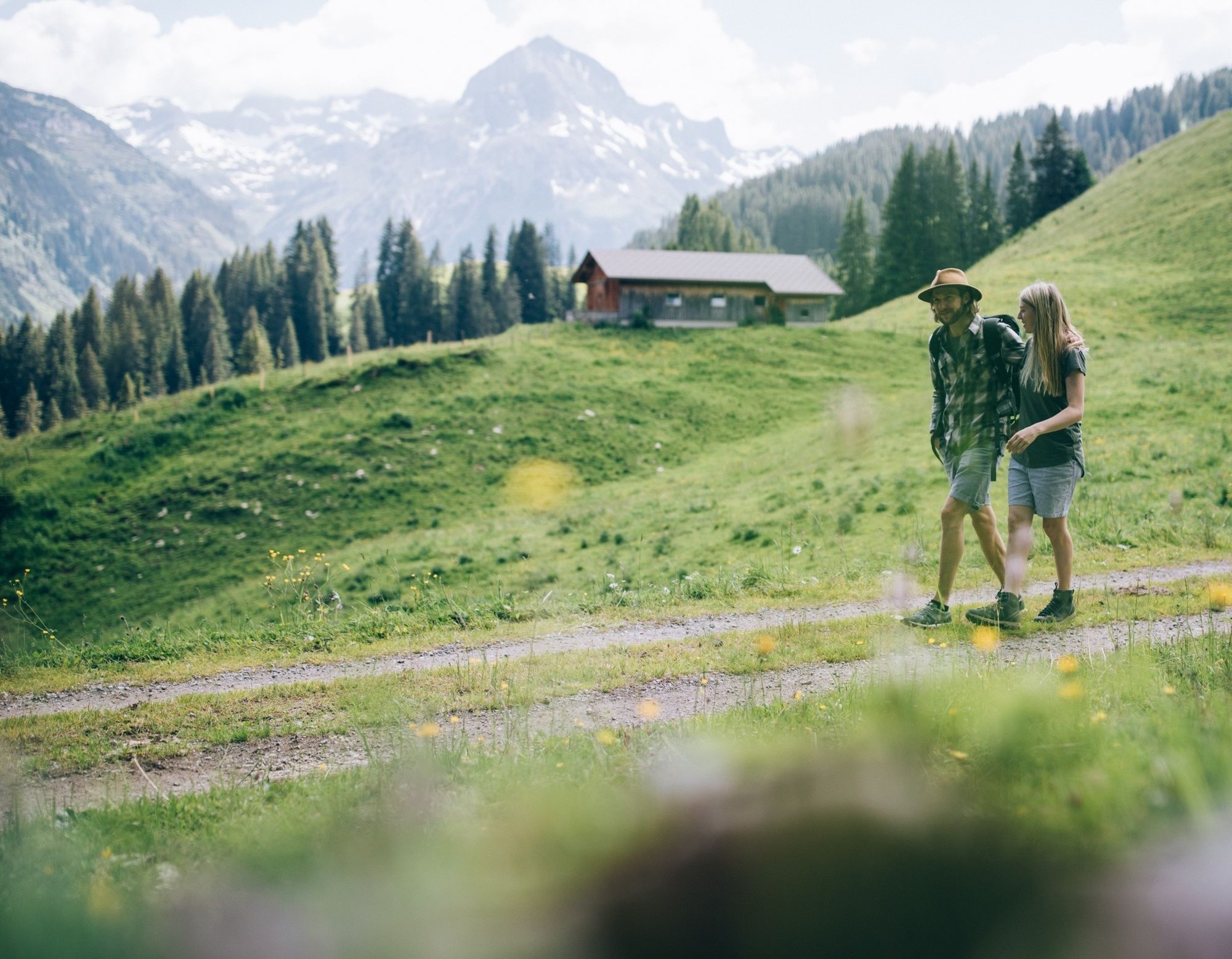
The jogging round leads from the Flühenweg at the barbecue area above the centre of Lech along the Rüfikopf towards Stubenbach. You have a wonderful view of Lech and the surrounding mountains. After about 15 minutes the path crosses a wide forest road, we jog downhill and then take a sharp right turn. After a few metres you come to a junction again and turn left towards Oberstubenbach. We cross the bridge through the district and follow the path past the sport.park.lech until we reach the large car park.
- Directions
-
The start of the jogging round is in front of the post office in Lech. Opposite is the church of Lech. The scenic walking round leads up the Lech river until we reach the Rüfiplatz and after the Hypo Bank choose the steep path uphill. Following the signs we turn left after about 50 meters and reach a crossroads. To the right, the path leads to Wiesele or Rüfikopf. To the left it goes briefly uphill on the Flühenweg, to the grill place above the local centre of Lech. At the foot of the Rüfikopf the path leads along towards Oberstubenbach. The views of Lech and the surrounding mountains are fantastic. Soon the path crosses a wide forest road, we go downhill on the left and then turn right in a sharp bend. At the next junction we turn left again and are now in Oberstubenbach. Through the district, we cross a bridge and follow the path past the sport.park.lech until we reach the large car park. At the car park in the direction of the town centre we reach our hiking starting point again in a few minutes at the post garage.
- Highest point
- 1,487 m
- Endpoint
-
Postgarage
- Height profile
-

- Equipment
-
Running shoes, sportswear, Nordic Walking equipment
- Safety instructions
- Tips
-
The route can also be walked in the opposite direction.
- Additional information
- Directions
-
From Germany: Take the A 96 to Bregenz from there on the A14 to Bludenz, continue on the S16 to the Lech Zürs am Arlberg exit. Follow the B197 to Alpe Rauz, turn left here onto the B198. Through the Flexengalerie and over the Flexenpass you reach Lech Zürs am Arlberg.
From Switzerland: Via the A13 and the Feldkirch, Hohenems or Lustenau border crossing onto the A14 as far as Bludenz. Continue on the S16 until the exit Lech Zürs am Arlberg. Follow the B197 to Alpe Rauz, turn left here onto the B198. Through the Flexengalerie and over the Flexenpass you reach Lech Zürs am Arlberg.
From Austria: Take the Inntal motorway A12 and then the S16 to the St. Anton am Arlberg exit (Arlbergpass). Follow the B197 first through St. Anton, then through St. Christoph and over the Arlberg Pass to Alpe Rauz. Turn right here onto the B198. Through the Flexengalerie and over the Flexenpass you reach Lech Zürs am Arlberg.
- Public transportation
-
Take the train to Langen am Arlberg or St. Anton am Arlberg station. From there, buses (no. 750+760) run at regular intervals to Lech Zürs am Arlberg.
- Parking
-
You can either park your car directly with your host or in the Anger underground car park. The underground car park is located directly in the town centre opposite the Raiffeisenbank Lech.

-

-
AuthorThe tour Flühen Loop is used by outdooractive.com provided.