© Andelsbuch Tourismus - Renja Metzler

© Andelsbuch Tourismus - Renja Metzler


- Brief description
-
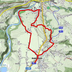
A beautiful scenic run to the Ach reservoir and to the Bregenzerache.
- Starting point
-
Village square Andelsbuch
- Route
-
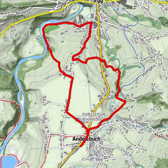
AndelsbuchPizzeria La Montanara0.1 kmUnterbezegg1.0 kmBersbuch (634 m)2.6 kmPizzeria La Montanara7.0 kmAndelsbuch7.1 km
- Best season
-
JanFebMarAprMayJunJulAugSepOctNovDec
- Description
-
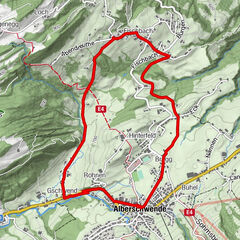
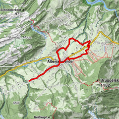
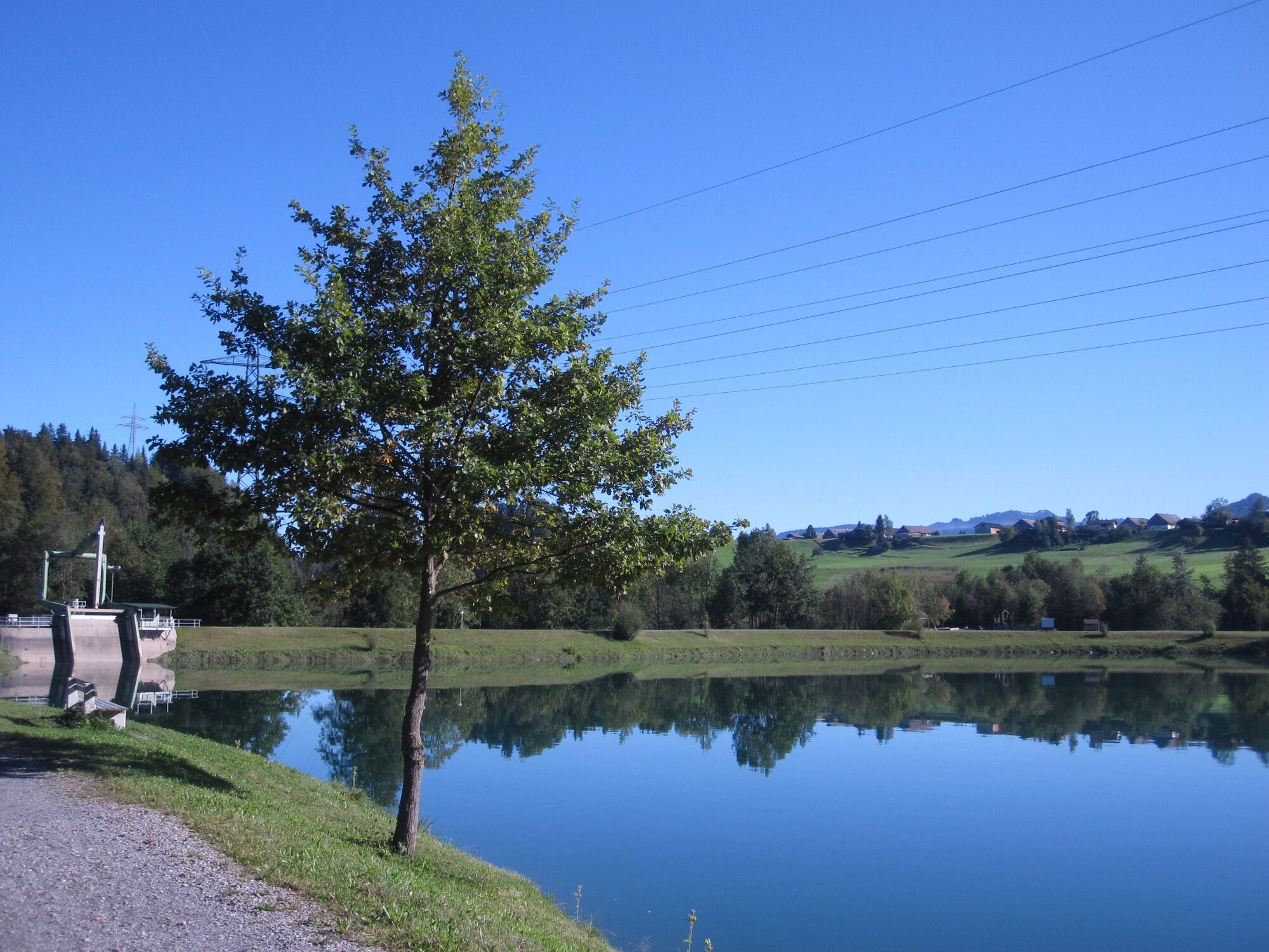
The run starts in the centre of the village of Andelsbuch. Via the Wirth parcel of land and Heimgarten, follow the agricultural path down to the Ach equalising reservoir (“lower reservoir”). A footpath goes through the Achwald on the other side of the lake to the power plant. Continue to the Tanna beer garden on the Bregenzerach. From here, the road goes upwards towards Bersbuch. After crossing the main road (“Hauptstraße”), the ascent to the “Hod” commences: via the Hod you proceed to the Bezegg reservoir. Take the Bregenzerwald cycle path back to the starting point.
- Highest point
- 665 m
- Endpoint
-
Village square Andelsbuch
- Height profile
-


- Author
-
The tour Andelsbuch | Reservoir run is used by outdooractive.com provided.
GPS Downloads


General info
Refreshment stop
Other tours in the regions
-
St. Gallen - Bodensee
64
-
Bregenzerwald
43
-
Andelsbuch
28