
- Brief description
-
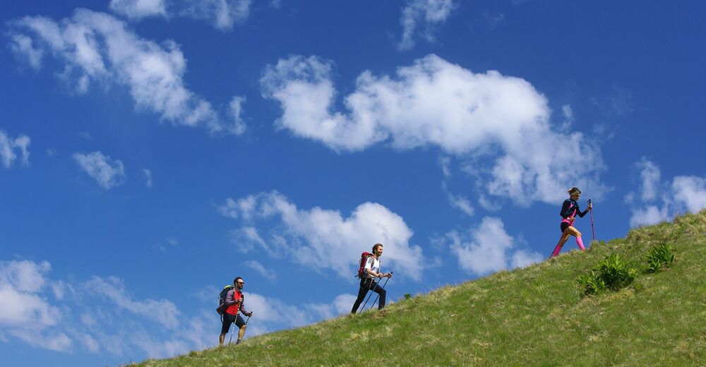
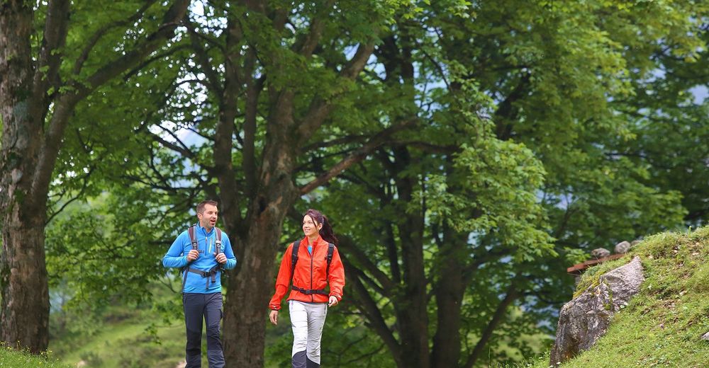
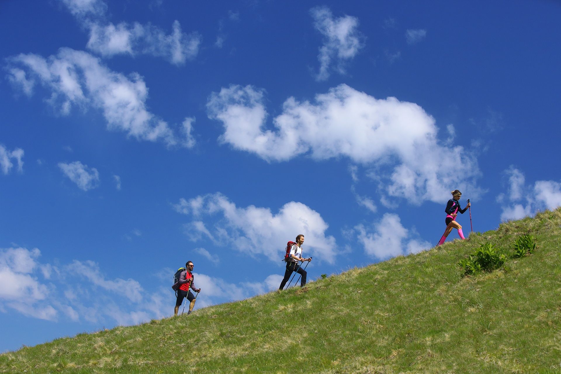
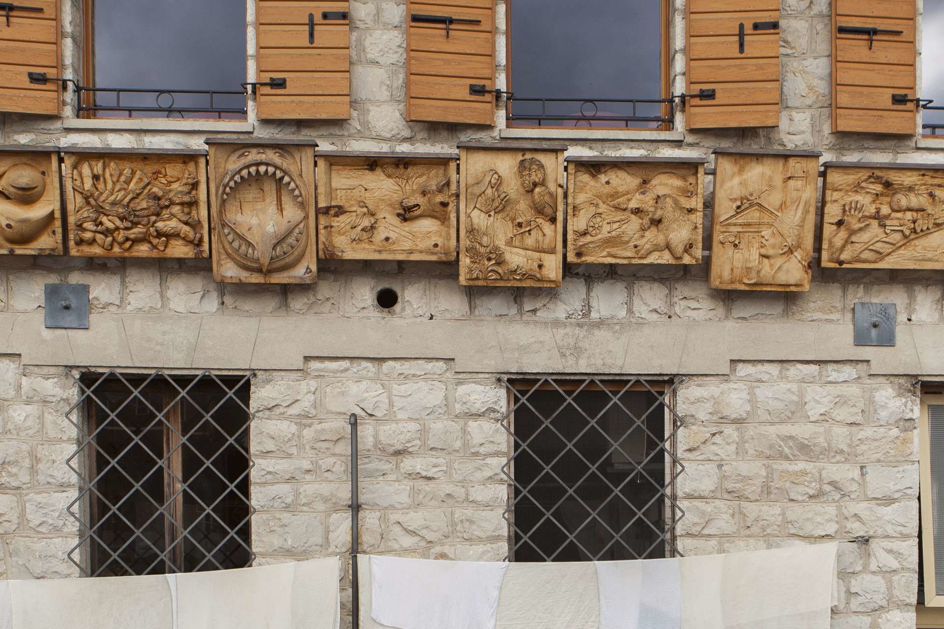
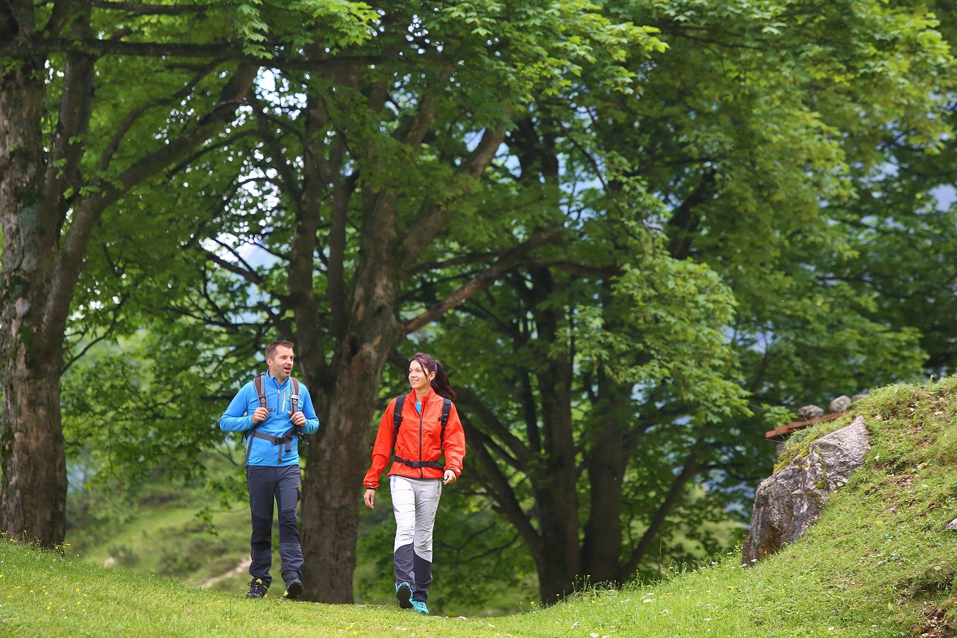
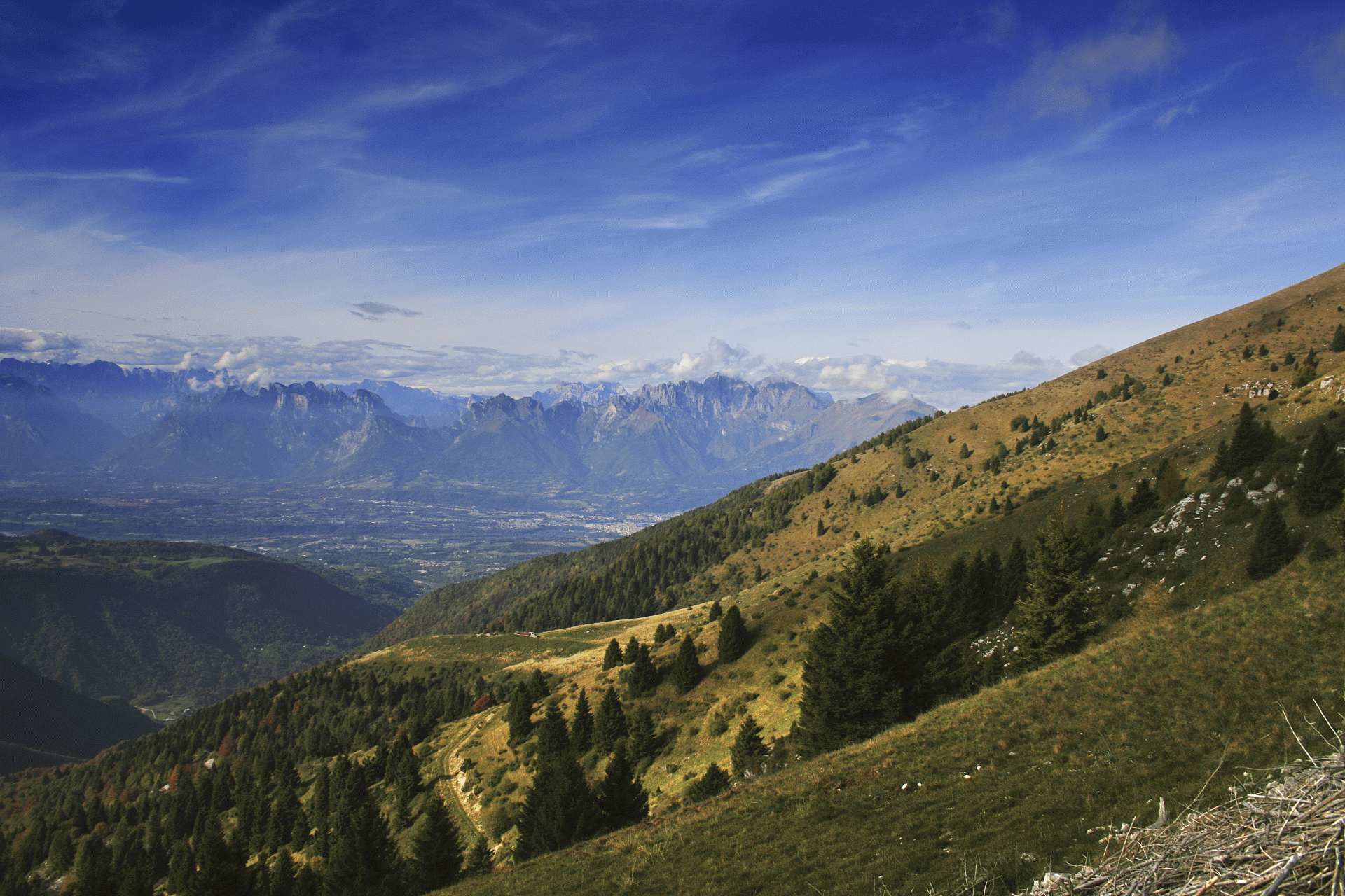
This loop trail runs along mixed terrain at the foot of Nevegal and Col Visentin through mountain villages, 17th century complexes and woods surrounded by silence. It will be a unique experience that will take you up to 1741 metres high, making you feel as if you were touching the sky with your finger.
- Difficulty
-
medium
- Rating
-
- Starting point
-
Valmorel, Limana, (BL)
- Route
-
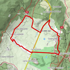
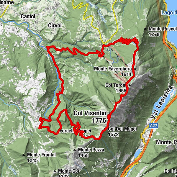
Forcella Zoppei (1,417 m)9.4 kmCol Dei Magoi (1,572 m)10.4 kmCol Visentin (1,776 m)11.8 kmRifugio Bristot14.3 kmex Rifugio Brigata Alpina Cadore15.0 kmMonte Faverghera (1,611 m)15.3 kmAgriturismo Faverghera15.7 kmRistorante La Casera17.1 kmNevegal21.9 kmSlalom22.0 kmTrattoria Pizzeria dal Bo22.1 kmVillaggio Olimpo23.0 kmCrede27.6 kmPiandelmonte31.6 kmTassei32.2 km
- Best season
-
JanFebMarAprMayJunJulAugSepOctNovDec
- Description
-
Valmorel - Forcella Zoppei - Col Visentin - Nevegal - Crede - Valmorel
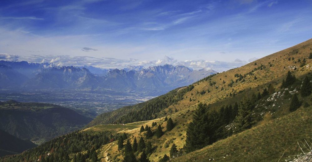
This itinerary that gradually climbs the Prealpine ridge will give you unique 360° views of the Belluno Dolomites, the Marmolada, the Civetta and the Venice Lagoon. Everything will seem incredibly small and far from the hustle and bustle of everyday life. It will be a great occasion to take a tasty break while admiring the endless space in front of one of the characteristic mountain huts.
- Directions
-
The route is marked with red/white boards according to the C11 decoding but it is always recommended to download the gps track on the website www.laviadelleprealpi.it to avoid unpleasant situations and live a great experience.
- Highest point
- 1,730 m
- Endpoint
-
Valmorel, Limana, (BL)
- Height profile
-
 © outdooractive.com
 - Equipment
-
Every excursion requires specific clothing and equipment. Adequate equipment is always recommended in order to avoid unpleasant surprises related to the variability of the weather, the season and the condition of the soil that can cause unpleasant accidents. Make sure you always evaluate the type of route you are facing, the stopping points and any useful references in case of need.
The routes in the mountains can hide many pitfalls even for the most experienced ones, so make sure you never leave the marked trails, always warn someone where you are heading and when you expect your return. The telephone number in case of emergency is 112.
- Safety instructions
-
Follow some simple rules and enjoy a great experience in the heart of nature: Plan your trip in advance Show respect for private property and the natural environment Always use safety equipment and check it in advance Follow the marked route and respect the bans Adapt the speed to your preparation and don't exceed your limits Do not scare animals- Do not litter
The practicability of routes in the Alpine foothills and mountain areas depends on the weather, the climatic phenomena and the environmental changes. For this reason, the information provided may be subject to change. Before you set off, find out about the state of the route by asking the local organisations, local experts and the tourist information offices on the website www.laviadelleprealpi.it. The local authorities and associations of the involved areas do not assume any legal liability for injuries or damages to people and things that may occur along the marked routes.
- Tips
-
The suggested itinerary goes along the Via delle Prealpi, which connects Lake Garda to the Cansiglio Forest. Plan your own adventure and check out the points of interest, where to sleep, where to eat and the various services that will make your experience even more complete and safe on www.laviadelleprealpi.it.
- Additional information
- Directions
-
If you are travelling from Feltre you can take the SS50 road to Busche, then continue on the SP1 road in direction of Limana and proceed until the roundabout of Refos. Turn right on Via Romaet and go up as far as the square of Valmorel.
If you are travelling from Venice you can take the A27 motorway and exit at Belluno. Take the SS51 road and proceed on the SP1 road until the roundabout before the centre of Limana. Turn left on Via Canalet and climb up to the square of Valmorel.
- Parking
-
Valmorel, Limana, (BL)
GPS Coordinates: 46.054190, 12.228035
- Author
-
The tour Two-day excursion on Col Visentin is used by outdooractive.com provided.


General info
-
Belluno-Dolomiti
1074
-
Valbelluna
194
-
Belluno
8