- Brief description
-
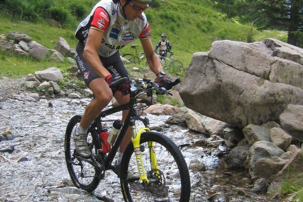
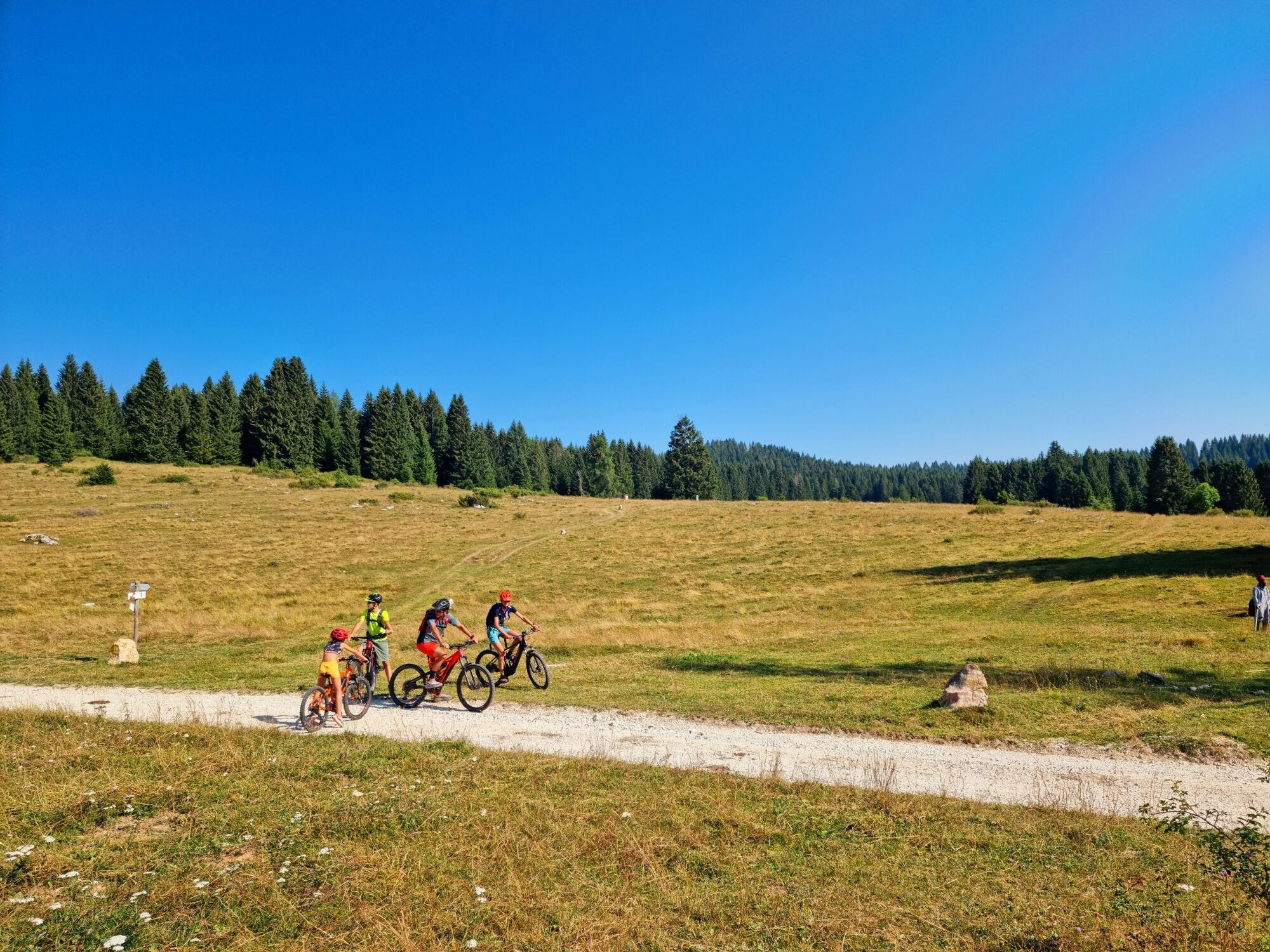
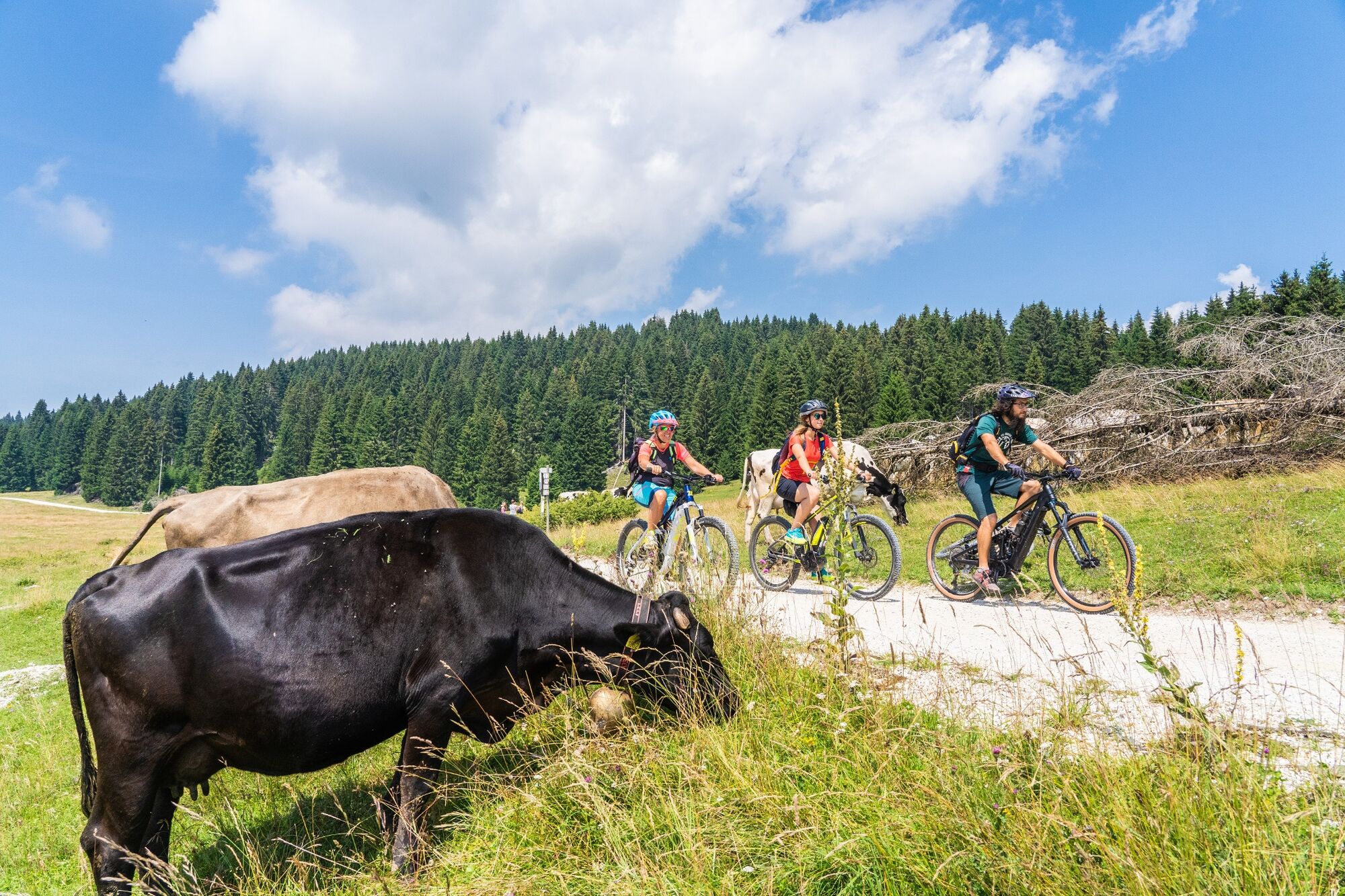
A unique experience that allows you to discover the amazing landscapes and the history of Alpe Cimbra. Going from one alpine cottage to the other you’ll travel through the areas where the First World War took place with the possibility to try typical foods. You might have the chance to meet marmots.
- Difficulty
-
medium
- Rating
-
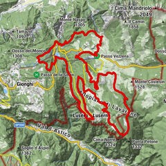
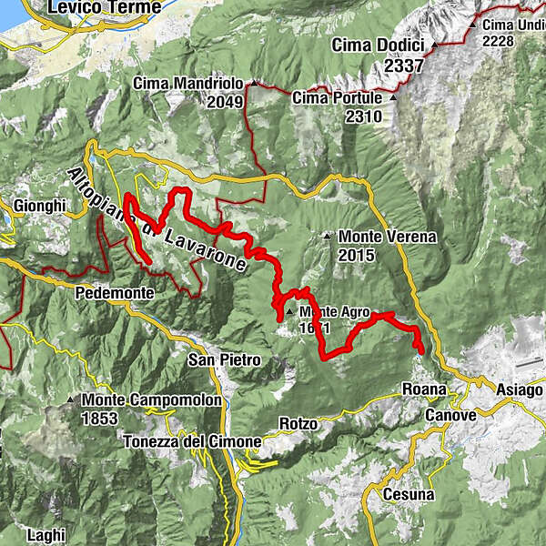
- Route
-
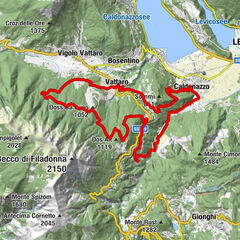
Curva del Martin2.6 kmPonte del Martin3.6 kmMalga Trugole (1,501 m)16.0 kmMalga Campo Posellaro (1,476 m)18.7 kmFonte Costesin (Obartrogar)21.2 kmTetsch30.3 kmLusern30.7 km
- Best season
-
JanFebMarAprMayJunJulAugSepOctNovDec
- Description
-
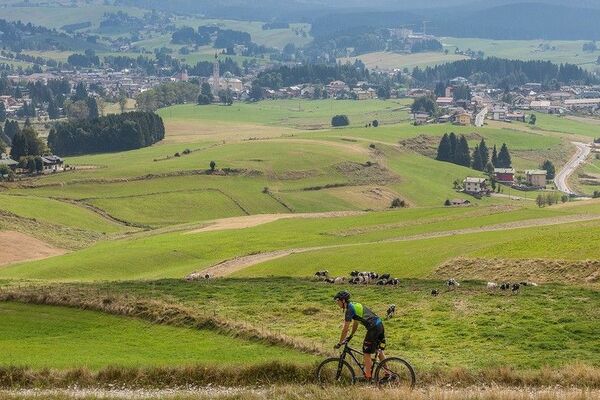
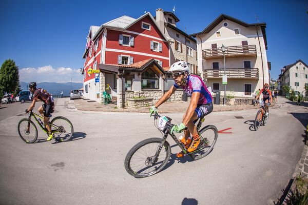
This itinerary, that connects Luserna to Roana lake, it is the first step for a bigger project that is the one that will connect Folgaria to Asiago. It starts from the centre of Luserna (1315 m), cycling through you will find the ethnographic museum, once you leave the village the path enters the fir woods. Once you get to Malga Millegrobbe (1412 m) you will cycle through the areas where the First World War took place; between the trenches you might find the marmots. Along the path there are many alpine cottages: Malga Millegrobbe, Malga Basson di sopra, Malga Busa Bisletto, Malga Costesin, Malga Camporosà, Casara Mandrielle, Casara di Campolongo e malga Gruppach.
You can stop in Malga Millegrobbe and casara di Campolongo to taste typical dishes and relax in their spas with views on the fields. Once you cycle past the area of Campolongo the path goes downhill on the military route that brings you to Roana lake (1096 m).
- Highest point
- 1,695 m
- Endpoint
-
Lusérn
- Height profile
-
 © outdooractive.com
 - Safety instructions
-
Please note that the practicability of the itineraries in a mountain environment is strictly linked to the contingent conditions and is therefore influenced by natural phenomena, environmental changes and weather conditions. For this reason, the information contained in this page may have changed. Before leaving for a tour, make sure the path you will approach is still accessible by contacting the owner of the mountain hut, the alpine guides or the visitor centres of the nature parks, the info offices of the local tourist board.
- Tips
-
The route does not require physical preparation, it is suitable to everyone and a perfect choice is the use of the e-bikes, with them you are able to cycle 60km in one day with a minimum effort.
- Public transportation
-
Reachable with public transportation.
You can get to Luserna with line 100 (Vicenza) SVT, Tel. 0444223111

- Author
-
The tour Cycle path Luserna-Roana is used by outdooractive.com provided.